Australia 2026
Preparing for a trip is a lot of work, but also a lot of fun. Part of the fun is learning how to navigate all the intricacies of the adventure to come. Most of the last couple weeks in Alaska have involved figuring out how to transfer funds, making sure key reservations are in place, starting to gather up what we will need to bring with us. For example, we will need to have a six-month supply of any medications we will need. Normally our pharmacies and insurance companies only allow up to 90 days. With just a few days before we depart, we’re spending a lot of time thinking hard about what we could possibly need that might be difficult to find in Australia.
For us, the goal is to purchase a camper van when we arrive in Sydney and make sure everything is working properly and set up the way we want. Key features we’re looking for is a comfortable bed in the back, a dual battery system, a fridge/freezer (runs off the second battery), solar panel on the roof for continuous charging of the second battery, and an awning over the sliding door for shade. We want to take time to sort all this as it will be our home for the next 6 months.
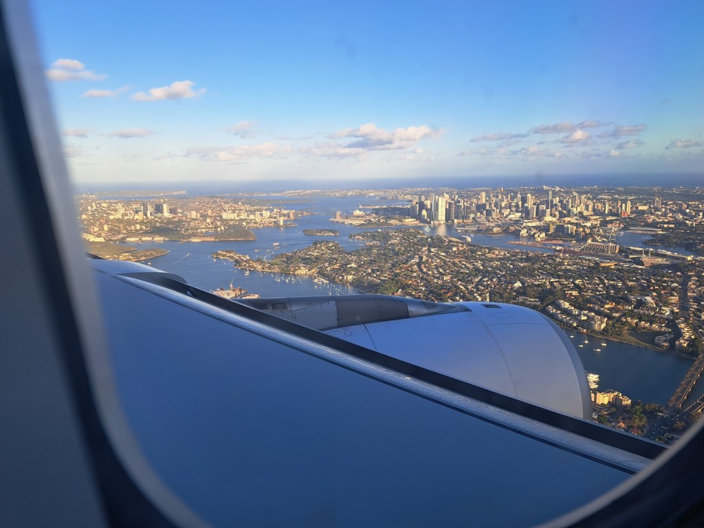

We made it! Arrived in Sydney on the evening of 2 December after about 20 hours of traveling. I was amazed that we made all our flight connections. We flew from Anchorage to Portland where we had a one hour layover, just long enough to use the restroom and board our flight to Honolulu. Fortunately our arrival and departure gates were near to each other. We only had an hour layover in Honolulu which involved a bit more rushing but we made it for our final 10 hour flight to Sydney! We arrived at 8PM local time, whizzed through immigration and biosecurity inspections and picked up new SIM cards for our phones (rates are amazing here – we went with a plan that provides 70 gigs a month, and includes free international calls and texts). We opted to use Turo for our rental here for a couple weeks while looking for a vehicle to purchase. It is the first time trying this service. Finding the public pickup lot where we receive the car was a bit of a challenge – there are loads of areas for Uber, taxi, and buses. Public parking is a bit of a walk. We finally fit our mountain of luggage into the car and headed to our Airbnb for the next couple of weeks. We picked up some amazing Thai food on the way at the last restaurant in our area still open. Best noodles I have ever tasted in my life! The water was out at the Airbnb neighborhood, so we ended up driving to the nearest convenience store for a few bottles to get us through the night. It was pretty late by the time we settled in.
Week 1 + 2
Our first full day was all about adaptation and preparation. This included changing currency, opening a bank account, and obtaining basic food supplies for the next few days. The area we are staying in, Brighton-Le-Sands, is near a beach and has convenient access to lots of amenities. Considering we are just 10km from the airport, it is surprisingly quiet here. We are staying in a small Airbnb, really a renovated single car brick garage. It has a large window that opens on to a small courtyard with many plants and a small fountain pond (we call it the “puddle”). Our place has a small refrigerator, cook top, sink, and ensuite. It is small, but has everything we need, especially air conditioning. This was critical during our third or fourth day when temps it 40 degrees C (104 F). Like anywhere else we are here in the weeks leading up to Christmas, and the decorations and signs of the season are everywhere. I spent many hours during the first few days looking at online ads for campervans. We also visited a couple camping stores to see what our expenses might be if we needed anything like a secondary battery, solar panels, or 12v refrigerator. The big ones here are Anaconda and BCF (Boating Camping Fishing). There is also a 4WD Supa Center, MW, and other specialty shops that offer different items from rooftop tents to 4×4 accessories. One of the best things about getting kitted out this time of year is all of the massive holiday discounts on gear! Combined with the exchange rate and what would be out of our price range back home is possible here.
People here use Marketplace but also a local Aussie only site called Gumtree. It is sort of like their version of Craigslist, but a bit easier to sort out what you are looking for. Our first inspection was of a 1999 pop-top Toyota Hiace with low miles. It had some issues, the main one being over priced. I began to expand the search to 4x4s as a back up. The Toyota Hilux is ubiquitous in Australia. It is similar to the Tacoma, but not as wide and not as long. And they are built tough. We test drove a nice 15 year old Hilux with a canopy over the bed and considered it a viable option. But then we inspected a really nice 2008 Landcruiser Prado.

The Landcruiser we test drove was in great shape for the age (2008) and the rooftop tent was comfortable enough that we decided to move forward. We hired a company to do a mechanical inspection and the results identified a couple of issues that would need repairs. One of the CV boots was shot and the seller was aware of this. He had two new CV axle assemblies waiting in the bed of the rig to be installed. Earlier in our search we inspected a 2002 Landcruiser at a shop nearby (Husky Offroad). They buy vehicles at auction and fix them up for travelers, everything from vans to off road vehicles. Although we were not interested in that rig, we did ask if they work on private vehicles as well. So it worked out really well that we already had a shop in mind when we were buying this one! The Prado has a dual battery system and a DC-DC charge system with solar connections. It has a 270 degree swing out awning on the passenger side and a shower awning on the driver side rear. We found a 12V refrigerator, a drawer system, and a couple of handheld UHF (CB) radios for more remote camping.


Christmas decorations are everywhere and there are many holiday celebrations. We attended one at a nearby beach Saturday night with live music. We left early as it was starting to rain….
Week 3
Our third week started out on a sad note with the terrorist attack at Bondi Beach about 15 miles north of where we are staying. Two shooters, a father and son, killed over a dozen people at an outdoor Hannukah celebration at Bondi Beach last night (14 December). We were out shopping for the day and ended the day at Maroubrla Beach for a swim. We saw a larger police presence than normal on the road and wondered what was going on but didn’t learn about the attack until we looked at the news that night. Our hearts go out to all of the victims and others affected by this horrific attack. We are grateful to be safe and healthy.
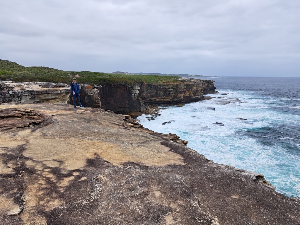
While our new home on wheels was in the shop, we spent time shopping for things we would need for our adventure. We also took some time to see the sights around Sydney and enjoy some of the beaches in the area. One trip took us to Kamay Botany Bay National Park We took a short hike along sandstone cliffs above the ocean to a lighthouse. The park is located at the entrance to Botany Bay and was where Captain Cook first landed in Australia.
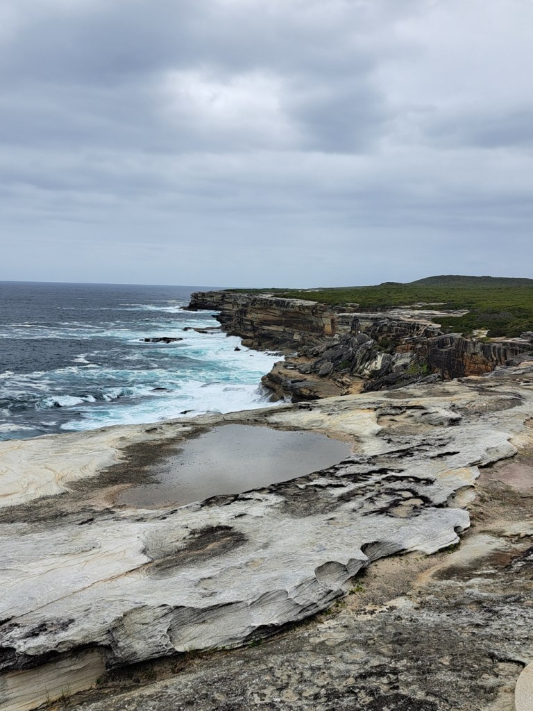
Pacific coastline in Kamay Botany Bay National Park
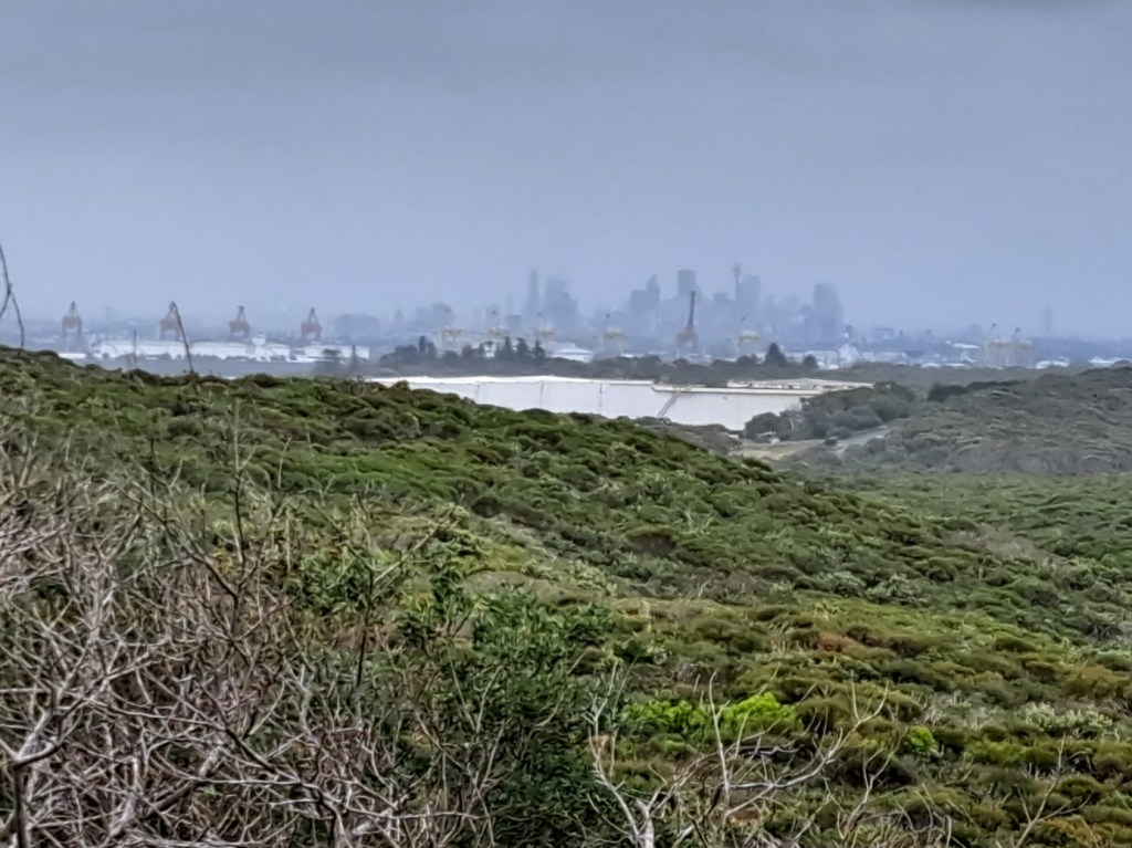
View of Sydney to the north from Kamay Botany Bay National Park
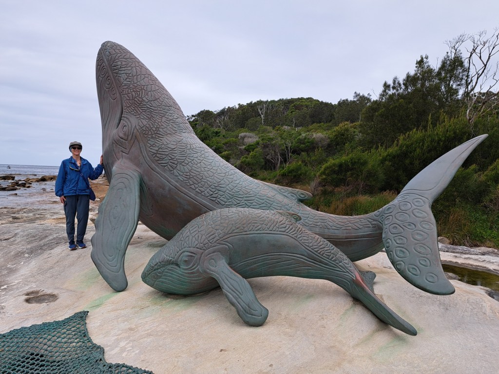
Whale sculpture near where Captain Cook first landed

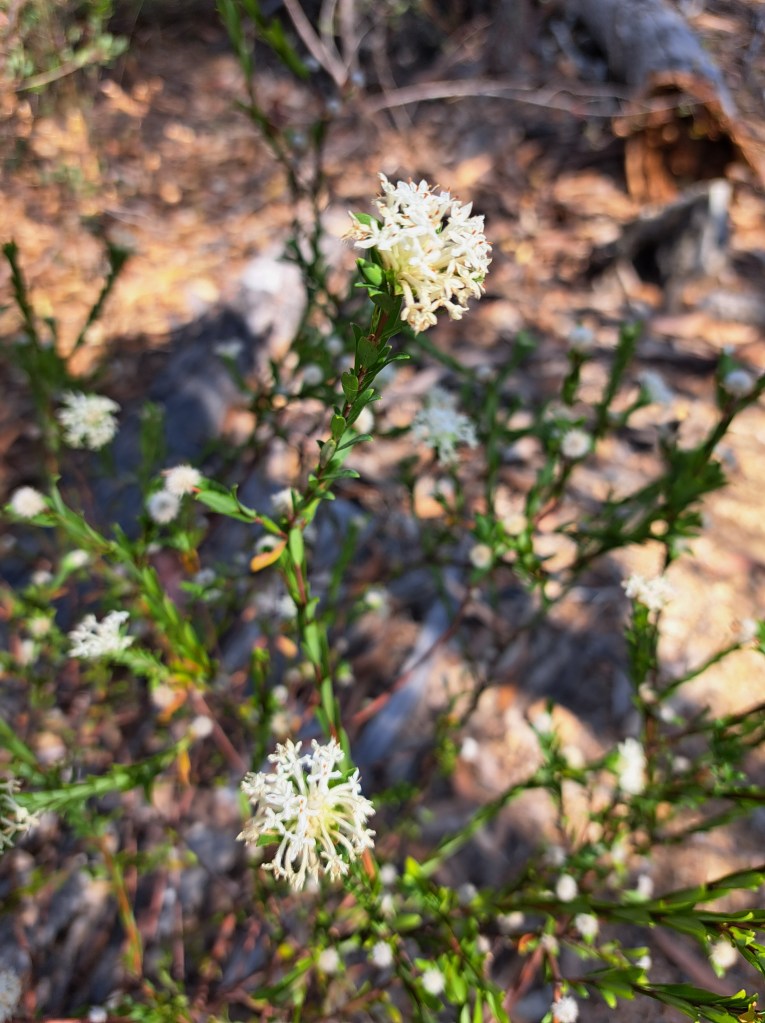
Banksia

Conditions at Coogee Beach
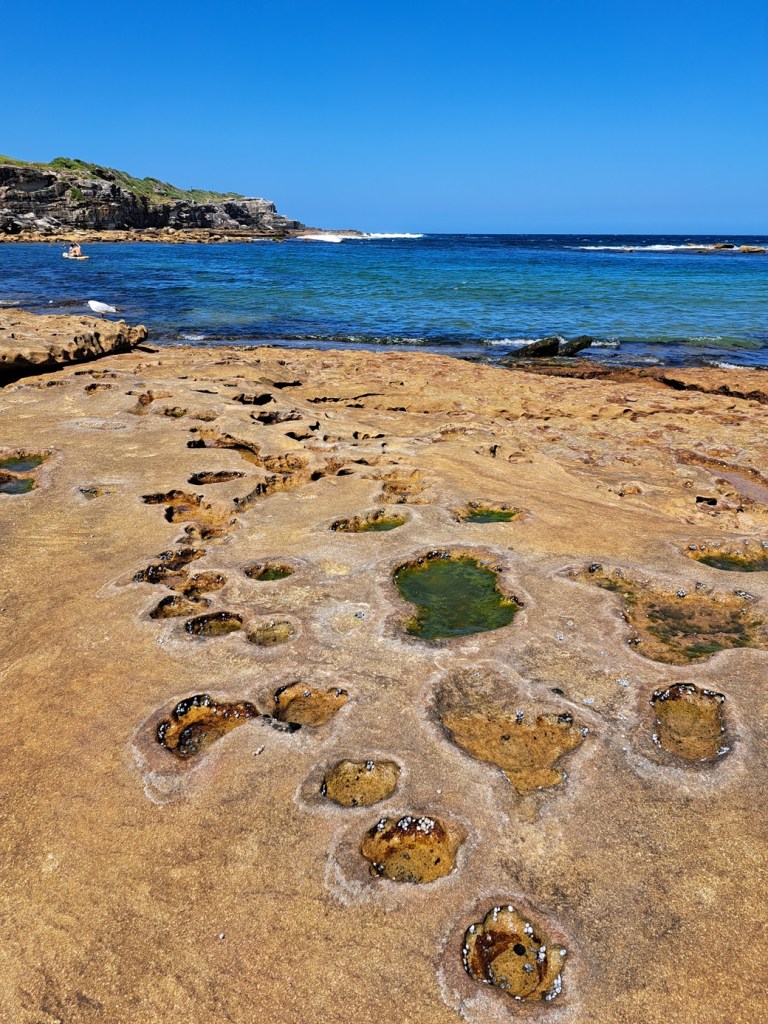
Little Bay
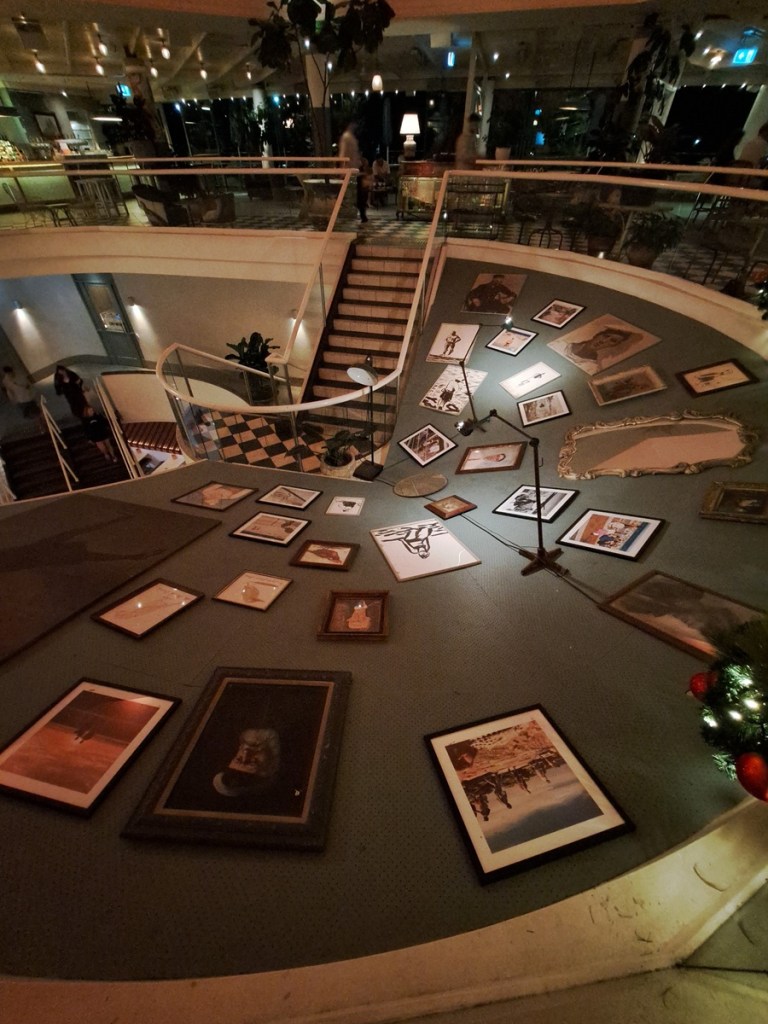
Historic Coogee Bay aquarium, now restaurants
Sydney
We landed on 2 December and spent the first week looking for a vehicle that would be our home for the next six months. We originally had a Toyota Hiace campervan as our target, but soon realized there were some shortcomings that would limit where we could go. We looked at a number of vehicles but also took time for some sightseeing.
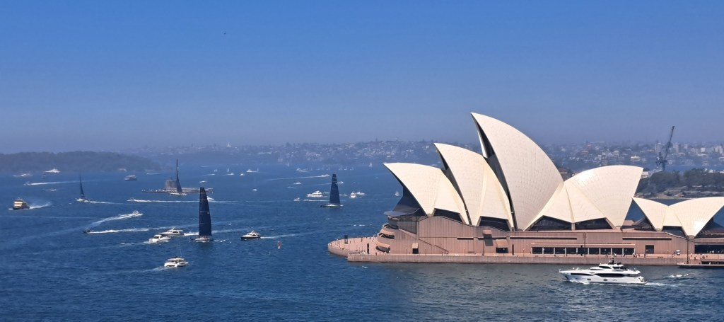
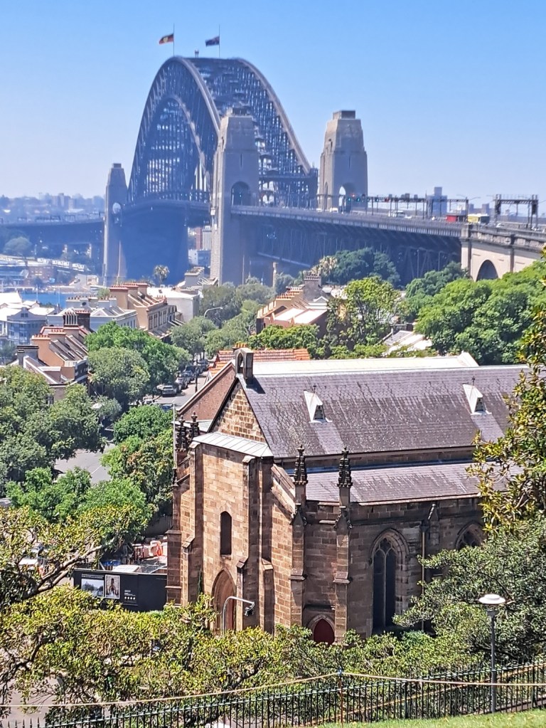
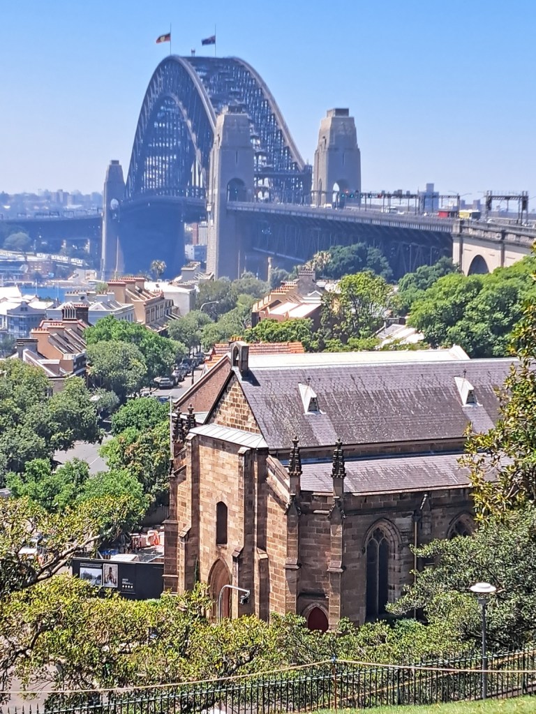
We took some time out from car shopping to enjoy some of the sights, including a trip to the central business district to walk up the bay bridge and have a look at the opera house.
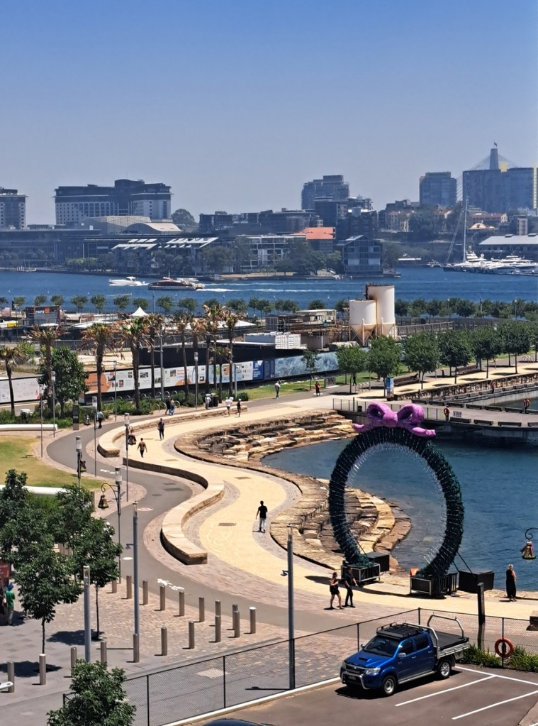
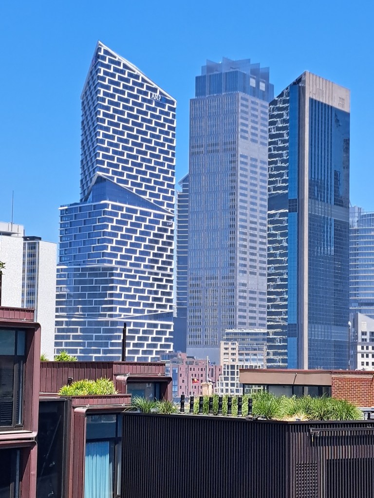
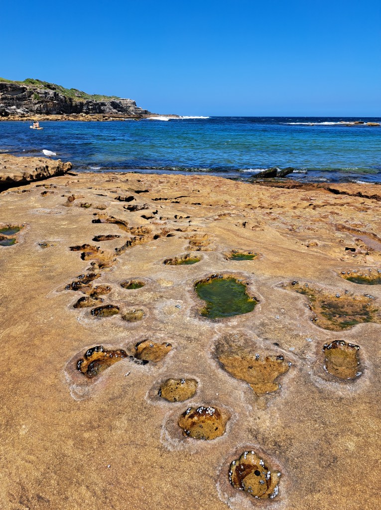
We also spent time exploring local coastline
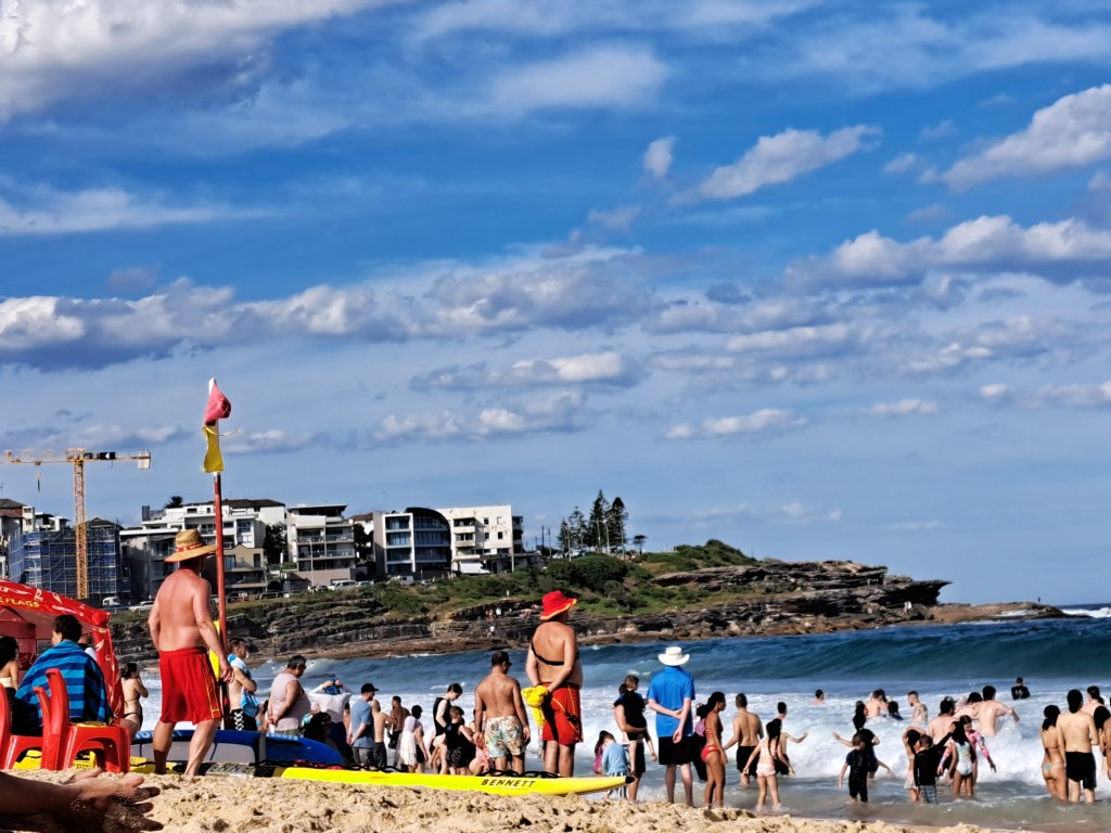
One place we revisited was Coogee Beach. We stayed near there last year at the start of our journey. This time we visited the site of the old Coogee Aquarium. Now housing shops and restaurants, the building once housed sea creatures from near and far.
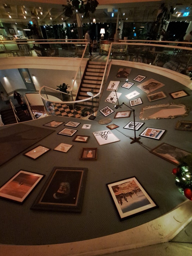
A hostess at one of the restaurants filled us in on a bit of history. At one point the aquarium brought in a shark to showcase. One day the shark coughed up an arm with tattoos on it. Turned out the arm belonged to a murder victim (body dumped at sea) and the shark helped solve the case!
The Coast
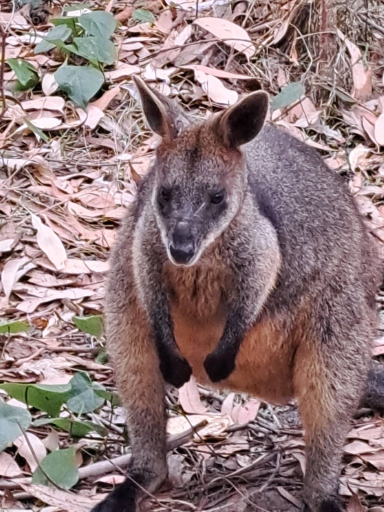
After three weeks in Sydney shopping for a vehicle and other essentials for our adventure (like pillows) we were finally ready to hit the road. We left on a warm afternoon headed south along the coast. Our first destination was Meroo National Park. We originally planned on two nights but we’re enjoying being relaxed camped above the beach we decided to stay an extra night.
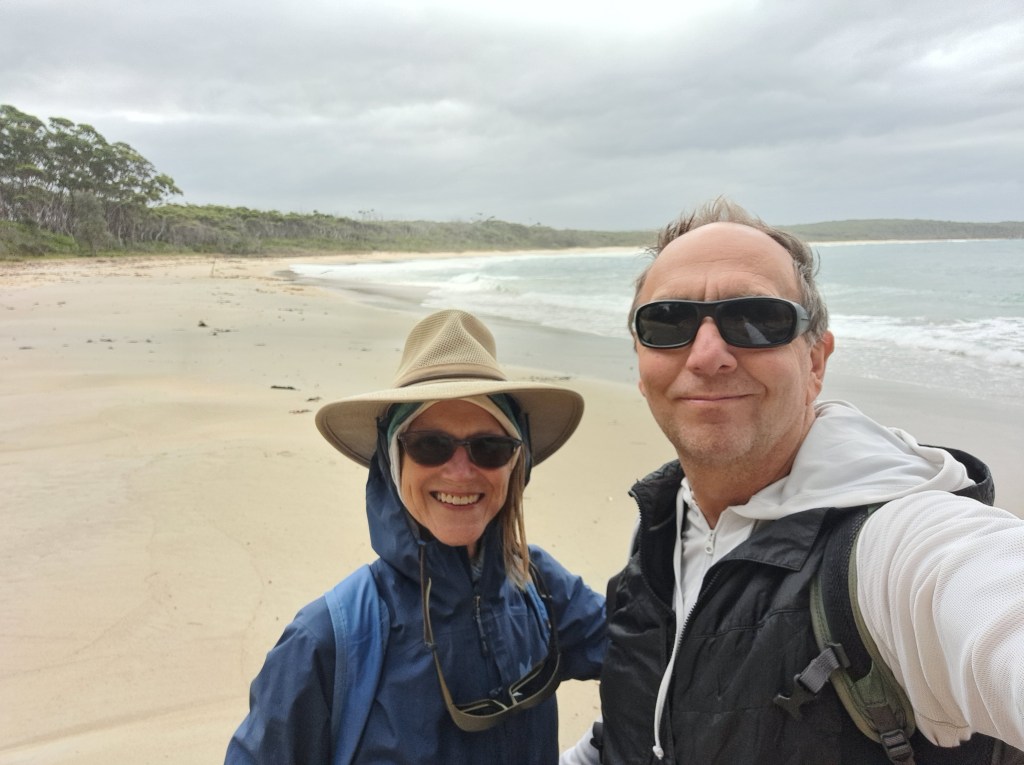
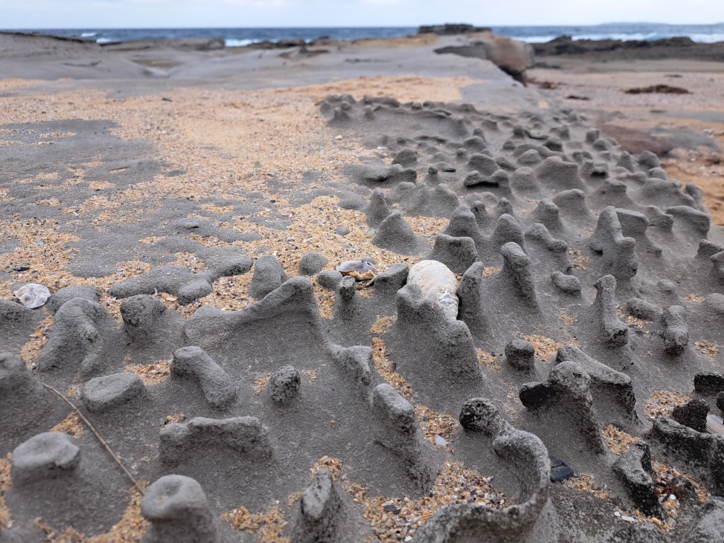
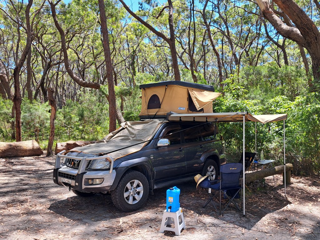
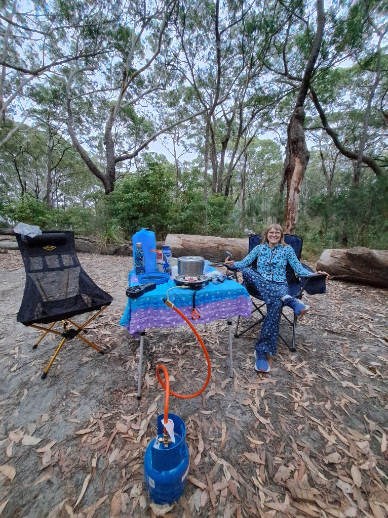
These were our first nights in the rooftop tent. There were a few things that we needed to accustom ourselves to. Sun rises early here and when it hits the black plastic roof of the tent it quickly heats up inside. Sleeping in can be a challenge. Fortunately our campsite had a lot of shade and near constant breeze.

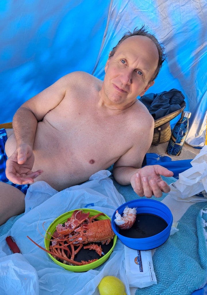
For sunny beaches we have a pop up sun shelter. We used this to celebrated Christmas Eve with a pre-cooked rock lobster “dinner” on the beach.
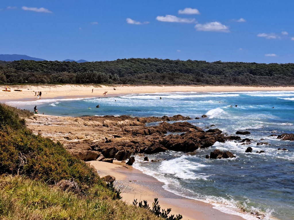
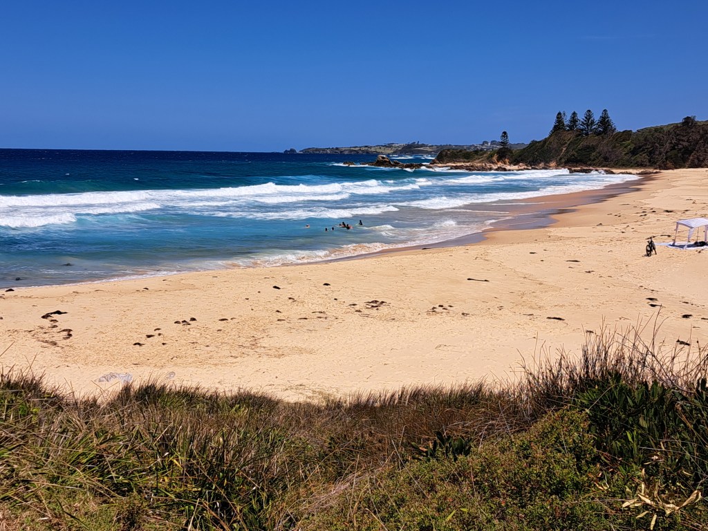
After Meroo we headed south a few hours to Dalmeny Beach, a beautiful spot we stumbled upon last year. The entire coast north of Narooma is magical. We spent two nights enjoying the warm water, though the wind was a bit of a challenge.
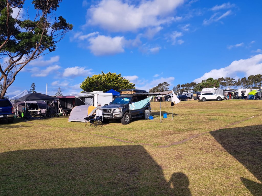
For sunny and windy spots, which described Dalmeny this year, we opted for our ground tent and used the rig as a windbreak.
Next we head inland to Canberra…
Canberra, Captial City
Arrived here yesterday and spent the day seeing some of the sites after a yummy lunch of Afghan food. The capital was designed by an architect and his wife (also an architect). The layout was designed as a landscape from the beginning, but some thought the design too grandiose and expensive.
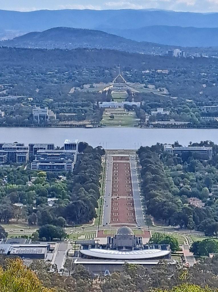
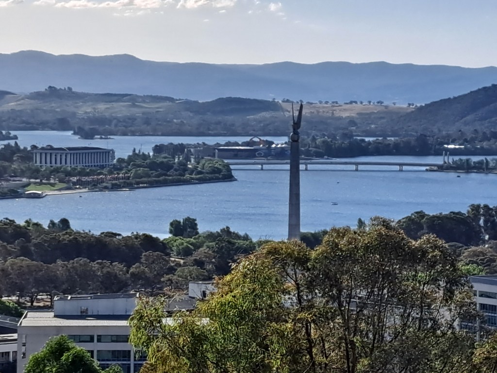
This view from Mt. Ainsley shows the war memorial in the fore and the parliament building at the top of the photo. Lake Burley Griffin was created as a part of the overall landscape.and provides a pleasant spot to unwind for a bit.
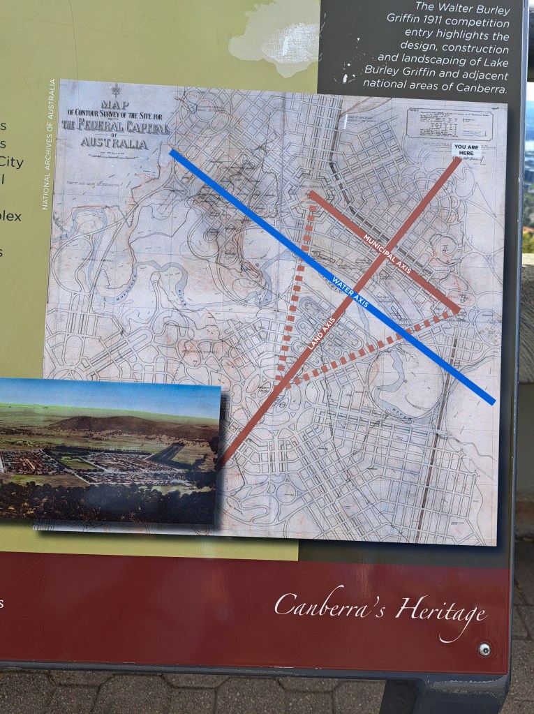
We toured the National Museum for a few hours then took in a view and some capital art.
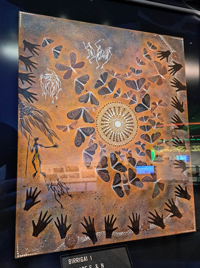
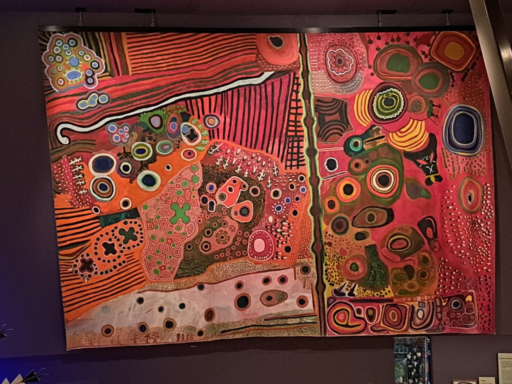
.
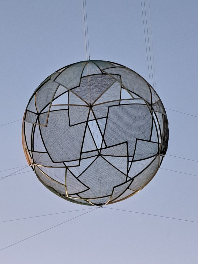
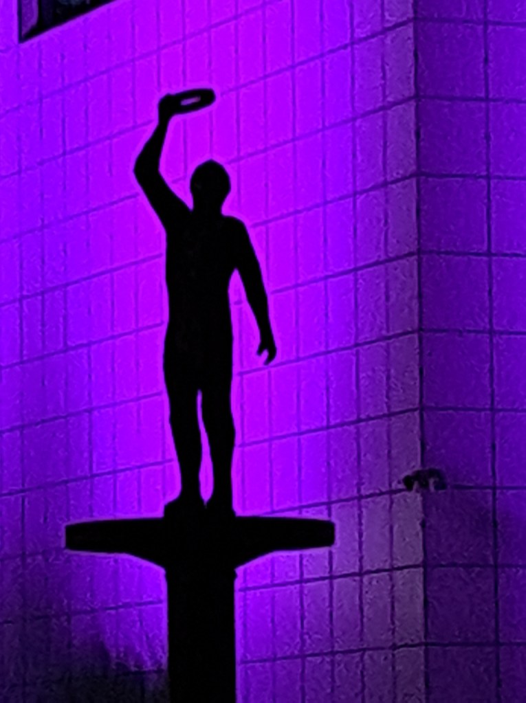
Interesting sculpture suspended above a street outside the National Gallery
Canberra to the Snowy River Country
From Canberra we headed inland on our way to the Nariel Folk Festival. This year’s Festival runs December 27 to January 3. We hoped to catch the last few days. We drove west through two forested national parks to the town of Tumut where we reaupplied. Our camp was along a reservoir about 20km south. While technically inside Kosciusko National Park, the site was very busy with lots of campers and boaters. We opted to set up well above the water away from crowds.
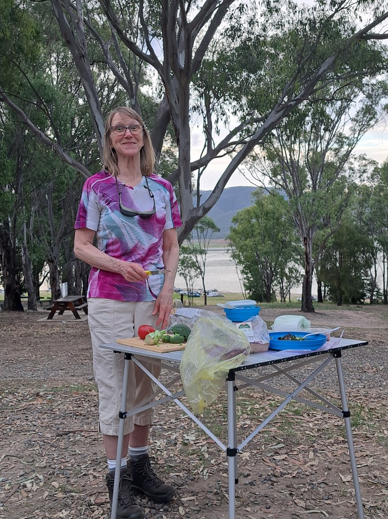
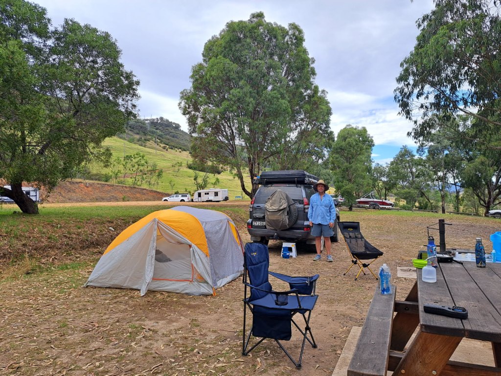
The campground was called “The Pines” even though it took us 24 hours to see the few actual pine trees located up the hill across the highway. After a hot day the clouds rolled.in and the wind kicked up. It was well After midnight when it calmed down enough to sleep.
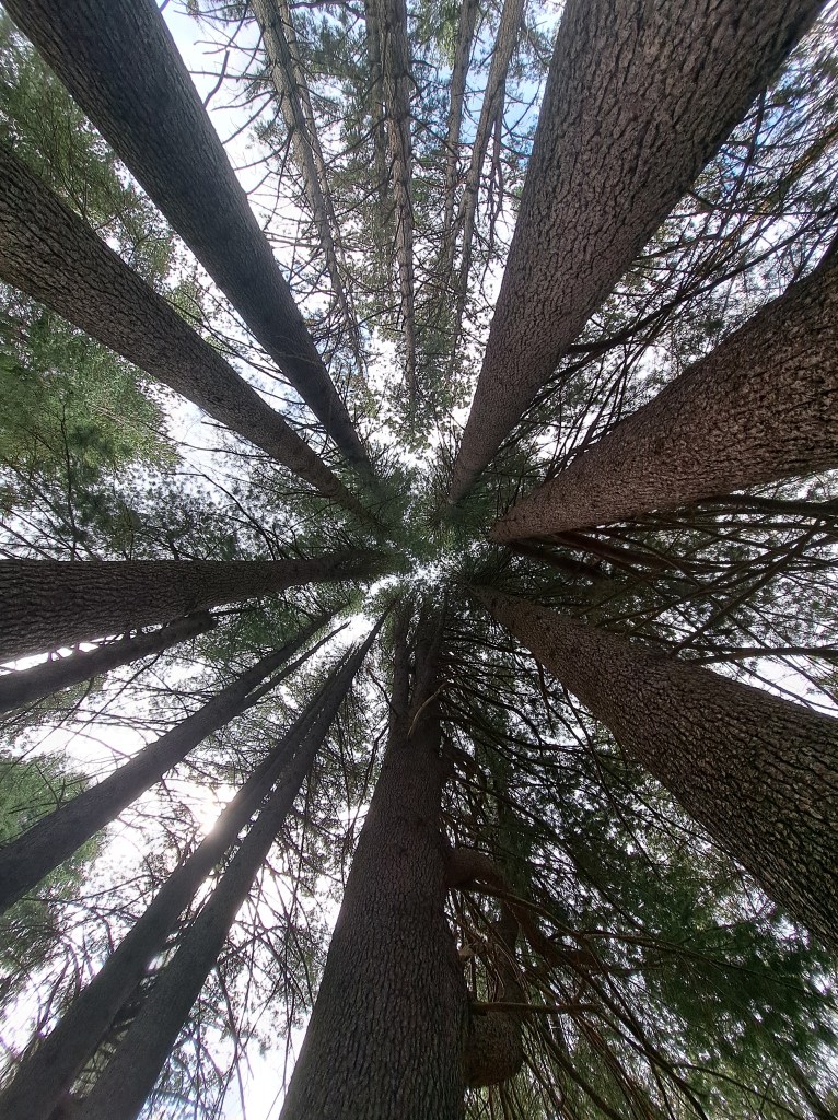
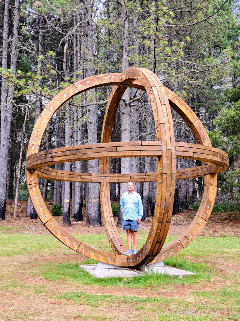
Our next day we drove back through Tumut and then south towards Corryong. We took a short detour to Pilot Hill arboretum. The site is in a managed forest and has a number of stands of trees from around the world that were planted in the 1920s and 1930s as an experiment. Many still stand today. There is a lovely interpretive walk through the trees and sculptures.
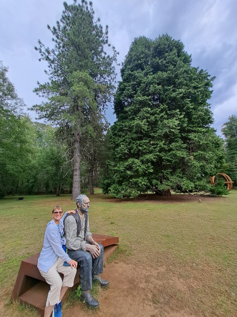
Large bush fires tore through the area nearby in 2019 and 2020. As part of the effort to revitalize tourism in the area, a sculpture trail was created all along the snowy valley highway route.
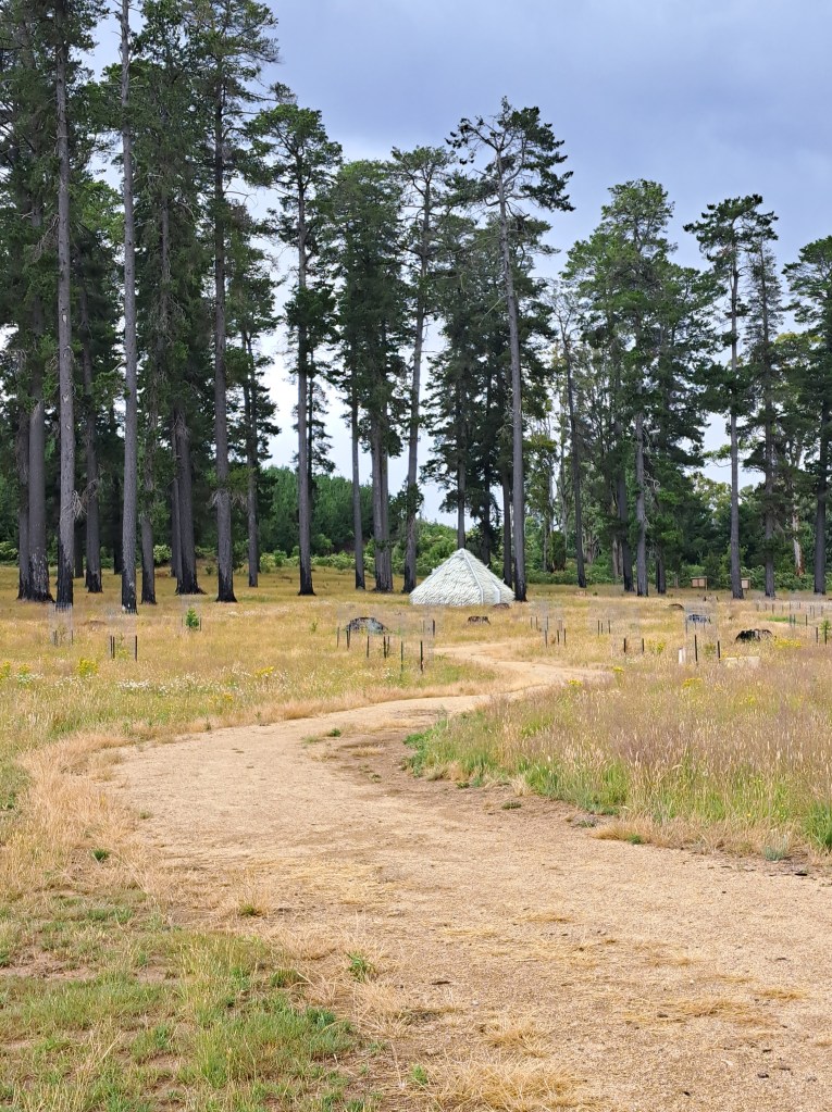
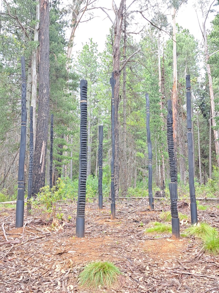
Onwards through rain and thunderstorms we paused at a viewpoint of the high mountains and a memorial to an early commercial air crash. In 1931 the Southern Cloud was bound for Melbourne from Sydney and disappeared over the snowy mountains. It wasn’t until decades later that the wreck was finally found.
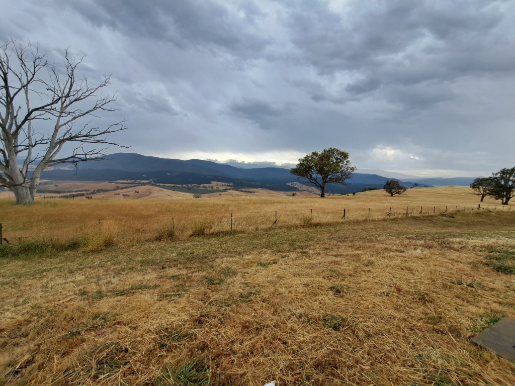
We end the year in Coryong, where we were treated to live music in a local pub.
Not Just a Folk Festival
The Nariel Creek Reserve. The reserve is home to a small folk festival that has been going since the 60s.
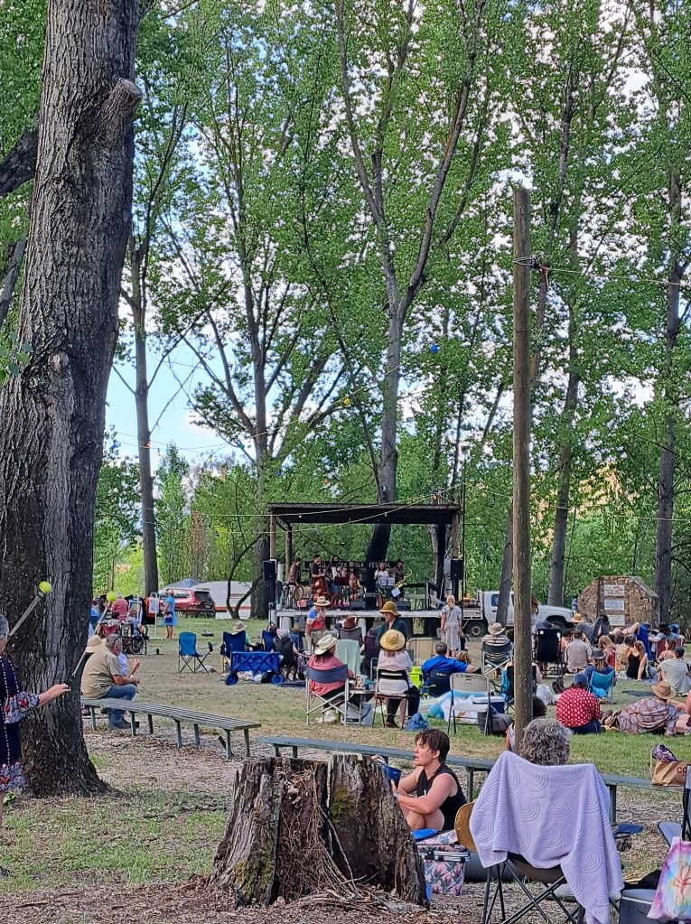
The Nariel Folk Festival began in the 1960s when a few friends from Melbourne made their way here to camp along the creek and play music. Over 60 years later and it’s still going strong.
The day we arrived musicians from camp and beyond signed up to play 15 minute sets throughout the day. After dinner there was a family dance in the green under lights.
The best part of the evening came after. Wandering through camp we stumbled on a group camp thet had a dance area laid out with small holiday lights. There were a handful of musicians playing Irish folk music and dancers out on the floor dancing Irish step. We joined in for a dance (instructions provided) and had fun.
The next day we drove up to Burrowa Pine Mountain National Park. We wanted to inspect a couple campsite we might possibly use in the future. We visited a waterfall that was now a trickle due to hot day weather (90 that day).
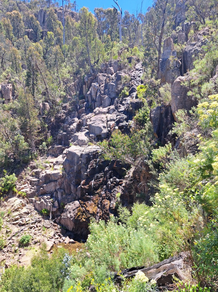
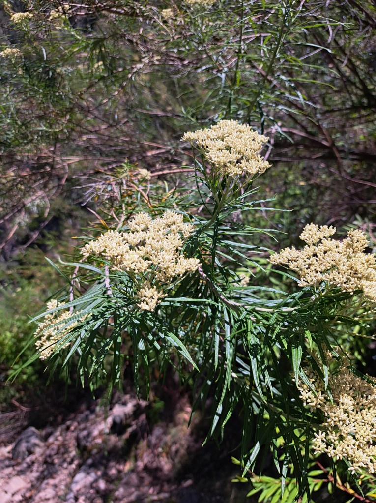
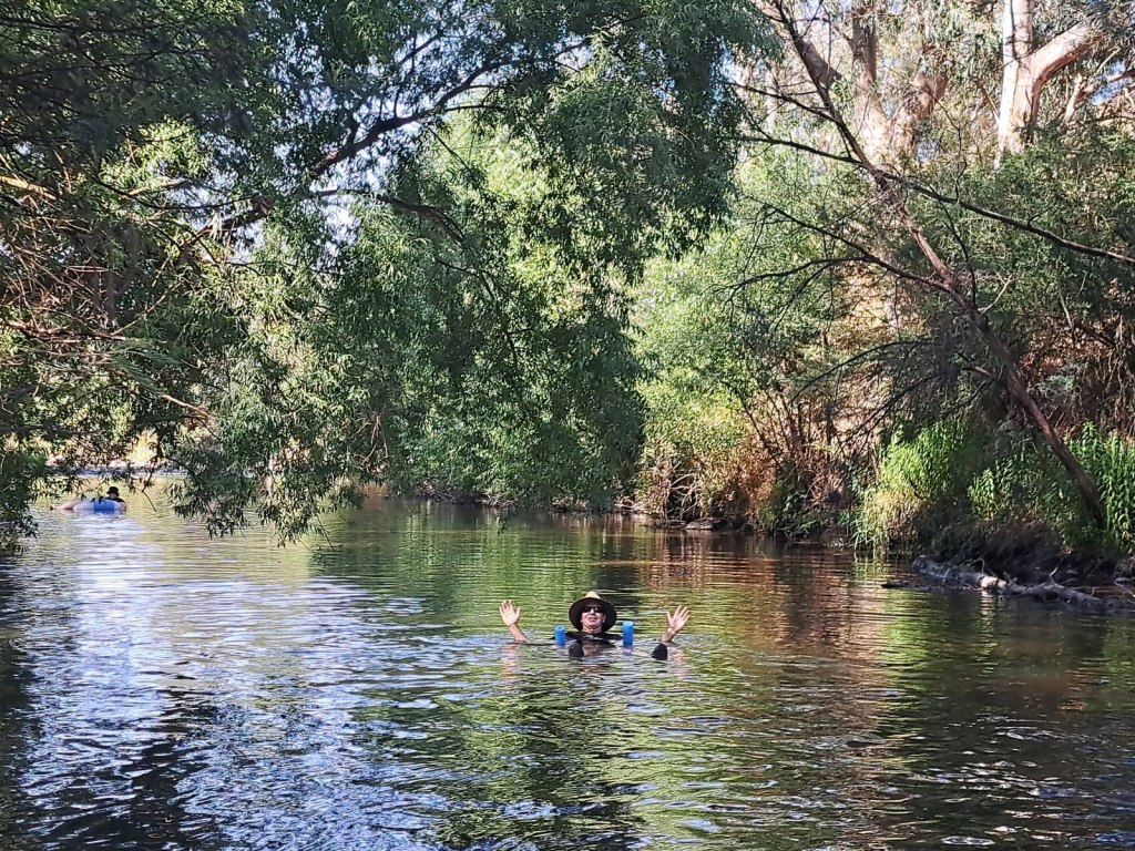
it was too hot to do much walking, so we opted to return to camp.and spend the heat of the day in the creek with many other festival goers.
Ar 8 we rolled.into Coryong, heart of “the man from snowy river” country to the final dance of the festival. The band had many accordion and there were a few polkas. We learned many new dances, some of which were unique to the Nariel Valley. It was a wonderful night.
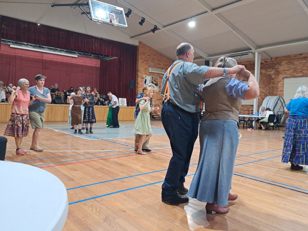
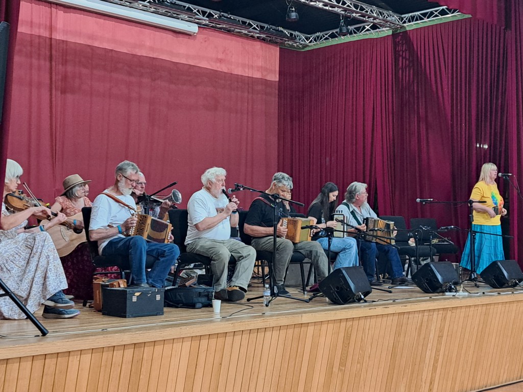
Today we awoke to the racket od cockatoos and kookaburras. We head back up into Kosciusko National Park for a couple nights before heading back to the coast.
Man From Snowy River Country – Kosciusko National Park
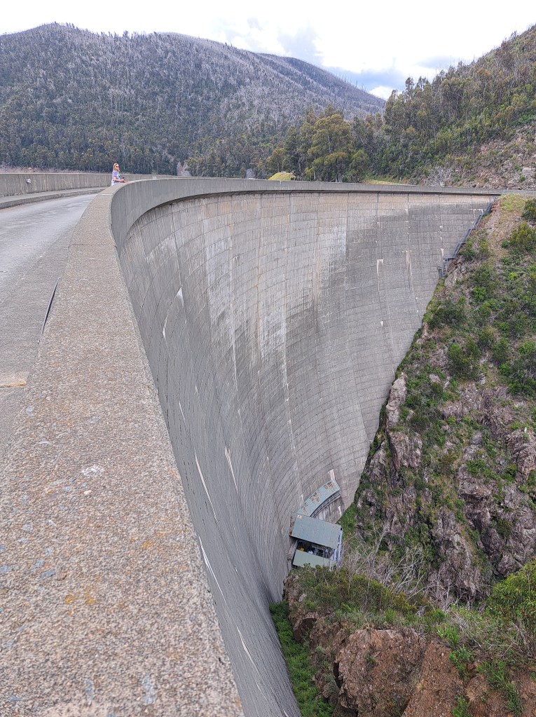
We left the wonderful Nariel Creek area and headed back up into the mountains. Our camp neighbors from Canberra mentioned a place up in the Snowy Mountains where there is a limestone cave that is open to tourists. Our route took us to Khancoban before turning off onto a road that wound through hilly farm country and slowly up.into the gum forests. As we climbed, we passed two reservoirs and drove across the dam.
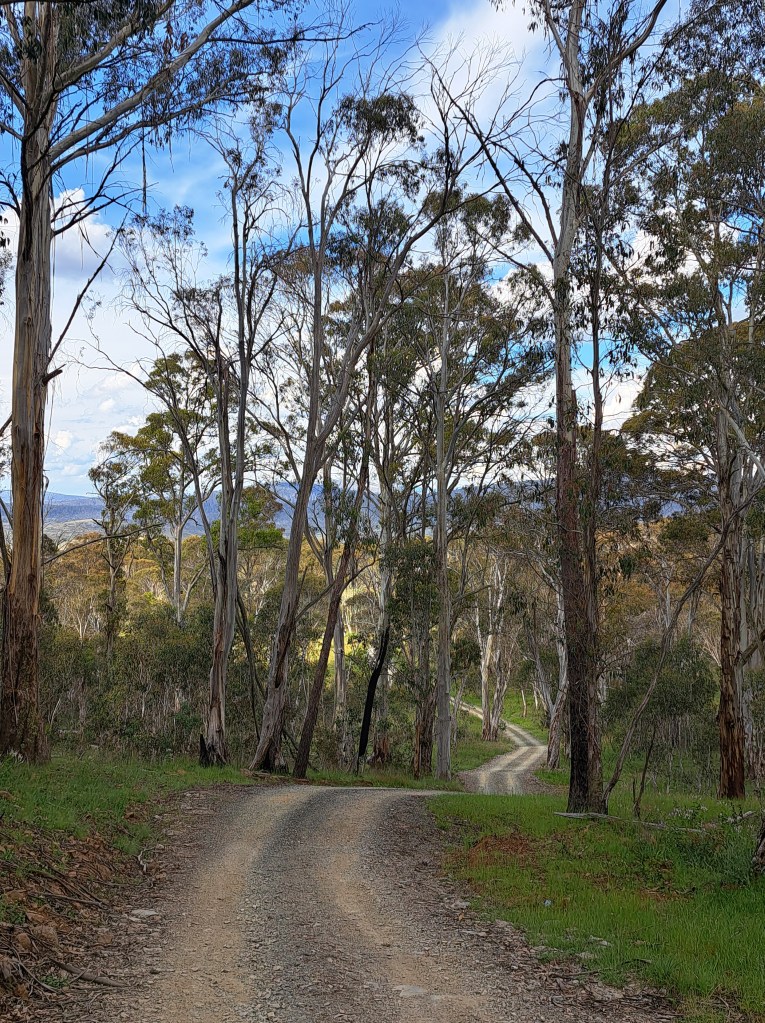
We soon reached Kiandra and the Snowy Mountains Highway. A few km before camp we saw wild brumbies (horses) in a meadow not far from the road. We set up our camp at Bullock Hill, a place frequently used by horseback riders. It was a lovely afternoon and we decided to walk one of the tracks towards the east.
Back at camp dark clouds were threatened thunderstorms. We had just started dinner and decided to deploy the awning. We barely finished when the first drops began to fall.
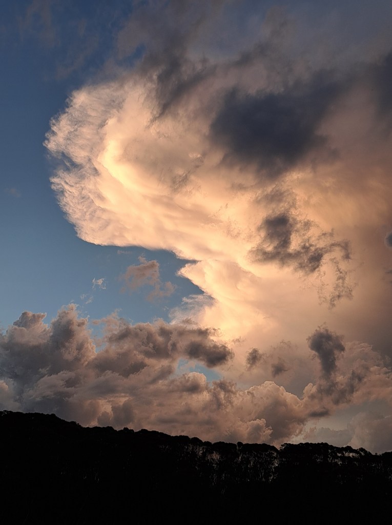
We could see not so distant flashes and hear thunder in the distance. Soon it was over us and the sky opened up and sent the torrent down upon our camp.
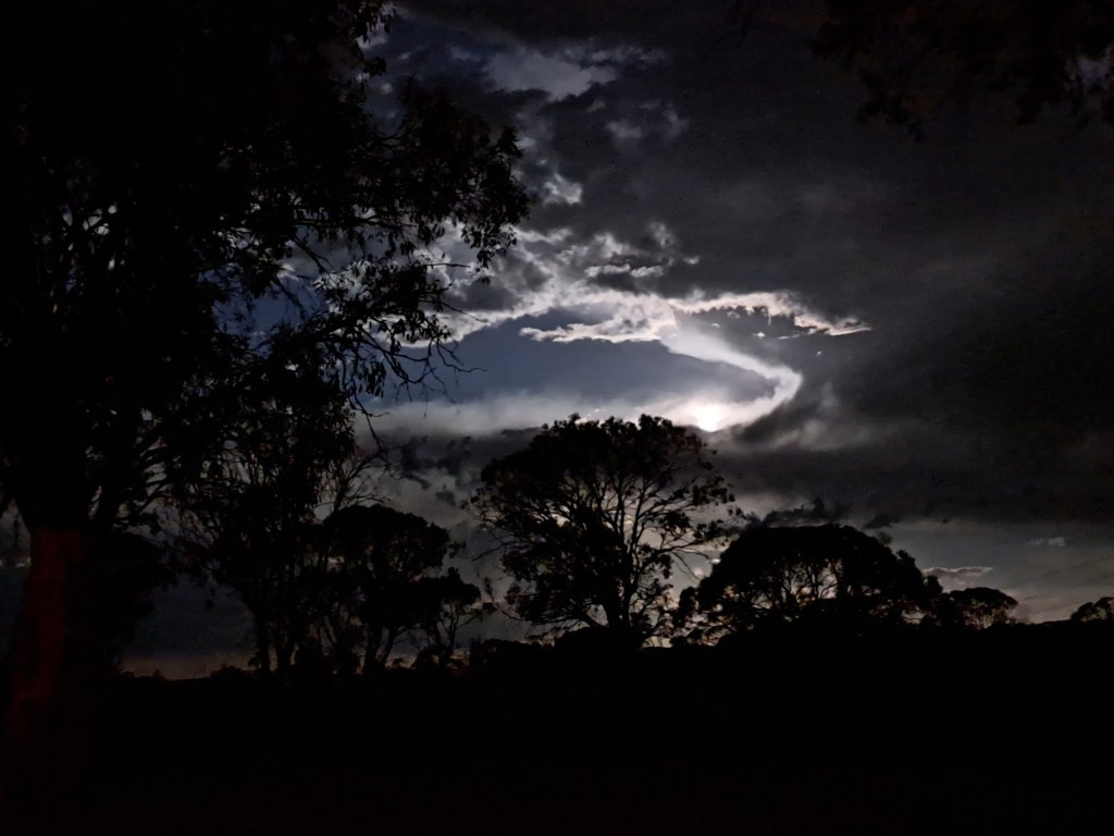
The storm eventually passed and stars came out. In a short while the full moon began to rise. Er could still see lightning in the distance in three different directions. It e was s the most amazing display I have seen in my life, with a full moon and more than 10 flashes a minute.
We took advantage of the lull to settle in to our rooftop nest for the night. It wasn’t long before we were fast asleep. But an hour or so later we were woken by a fierce pounding rain and hail and thunder and lightning all around us. We watched for a bit, then covered our ears and borrowed under the sleeping bag and went back to sleep.
Morning broke calm and clear. For a bit. By the time we were packed up and heading out new thunderstorms were brewing. A short drive brought us to Yarrangobilly Caves.
We decided on a guided tour of Jersey Cave. It was a good choice. For a tourist cave there were some amazing formations.
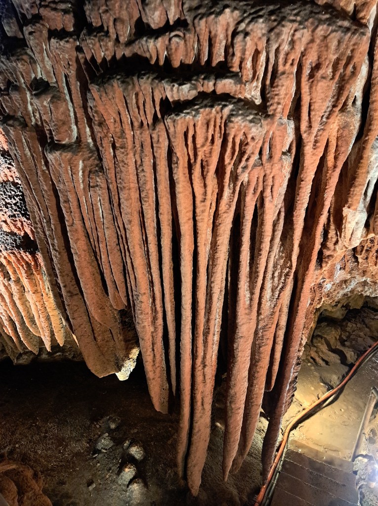
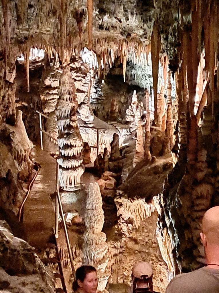
We were underground for over an hour and when we returned to the surface we found storms had left hail on the ground.
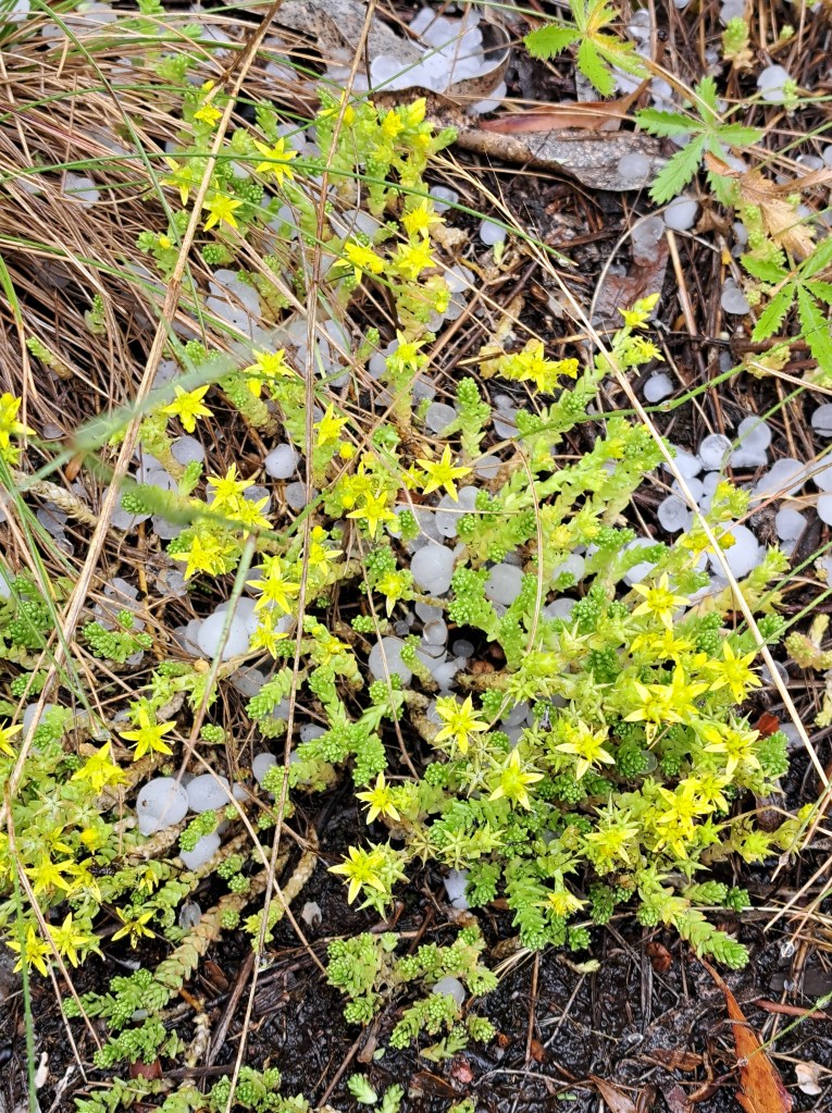
We also took a self guided cave walk to Glory Cave.

After a snack back at the rig we decided to check out the thermal pool. It wasn’t very warm, but it was comfortable enough for a quick swim. By that time of day, we had it to ourselves.

A full day. Headed down the highway back towards the coast we checked in to our “million star” hotel. It was calm, clear, and we enjoyed stargazing until we could no longer keep our eyes open.
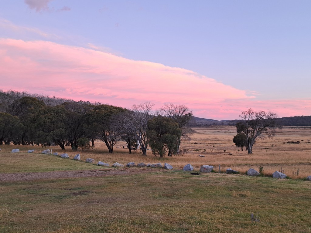
Back to the Coast

From our high point in the Snowy Mountains we dropped back down through Cooma to the Saphire Coast at the idyllic town of Eden. Appropriately named, the small.town is on a particularly beautiful stretch of coastline.
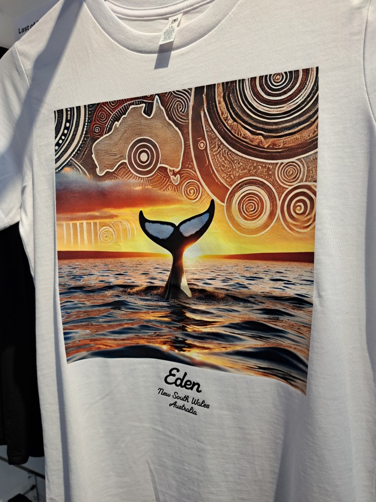
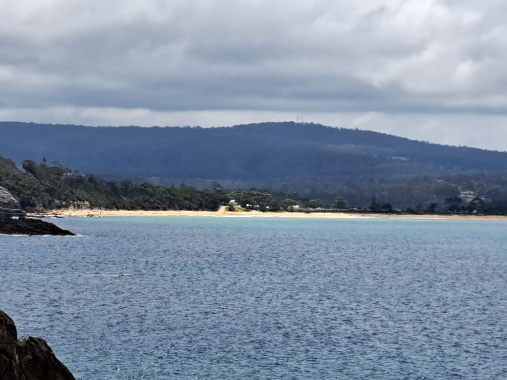
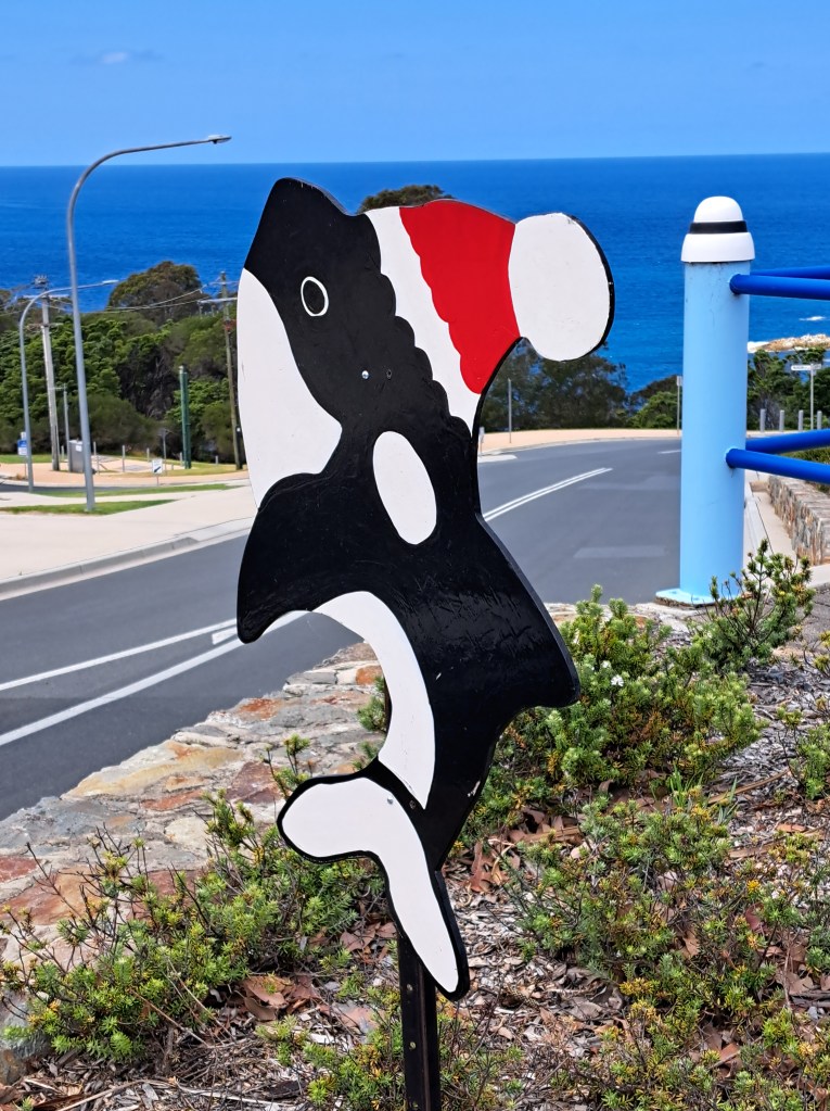
Eden is also home to the Killer Whale Museum. The history of whaling in this area goes far back into history. The aboriginal people used to hunt whales in Twofold Bay, and they had help. An orca pod and the people developed a symbiotic relationship.
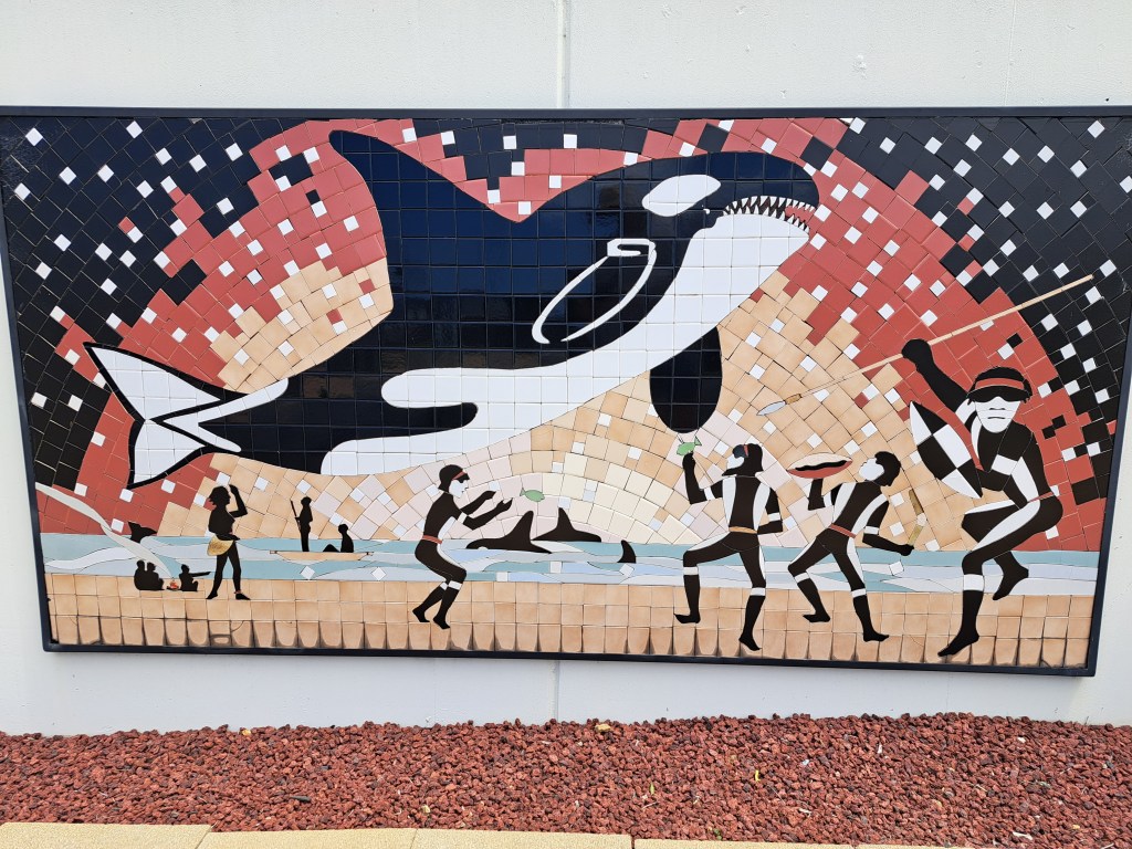
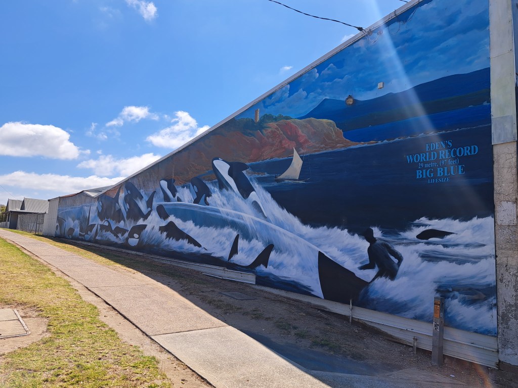
The orca would.herd other whales into the bay for the people to hunt. In exchange the hunters gave the orca the lips and tongue. This continued on when the whites employed aboriginal hunters to bring in whales.
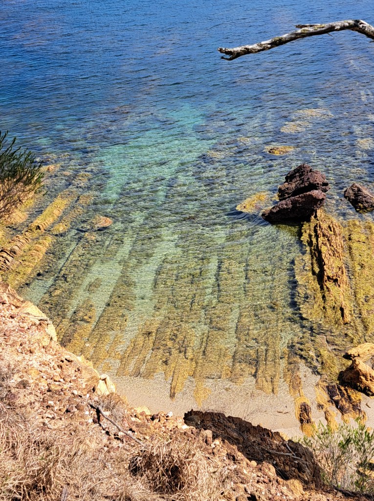
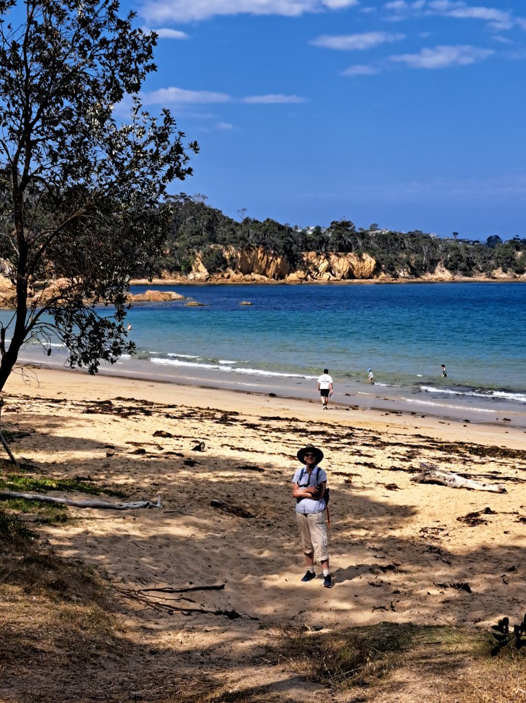
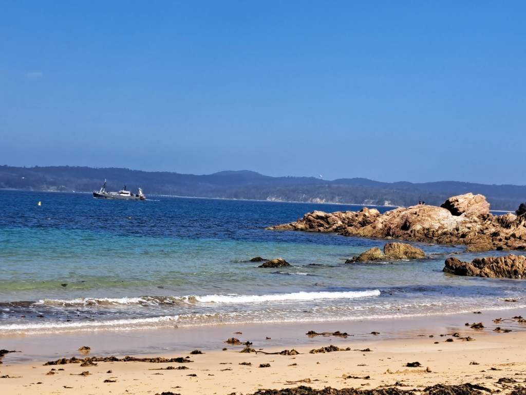
We spent several days exploring the area and walking a few tracks. The water here is so clear, the white sand and shallow depth give it the famously beautiful color.
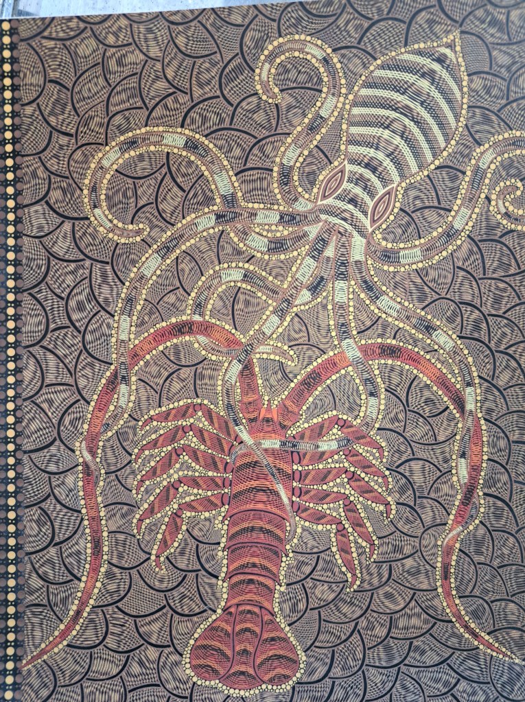
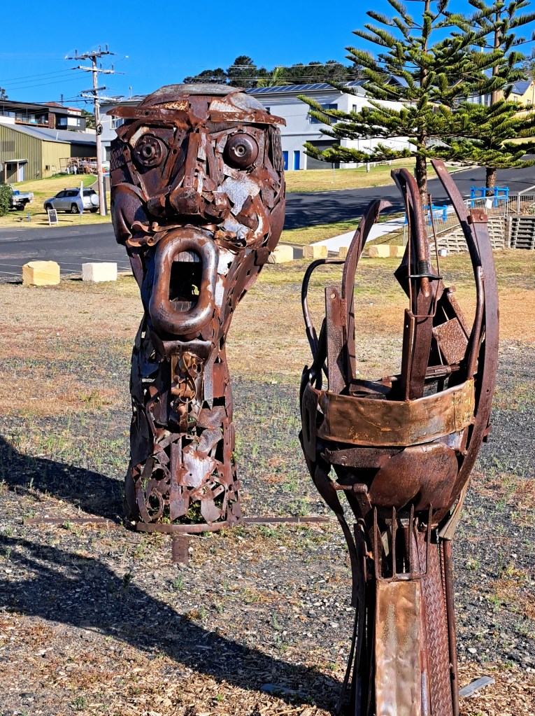
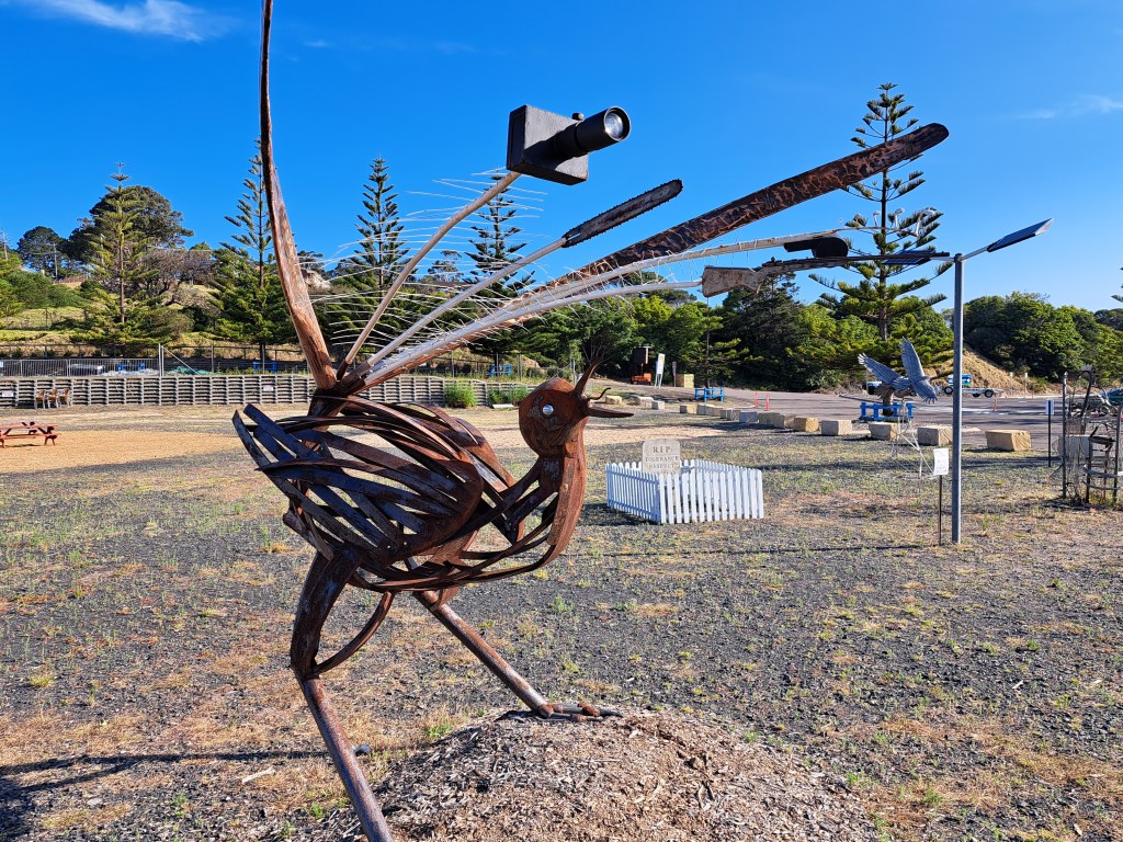
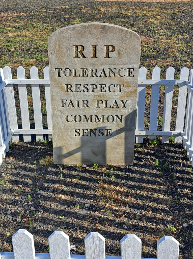
There was also a sculpture garden with some interesting pieces on display.
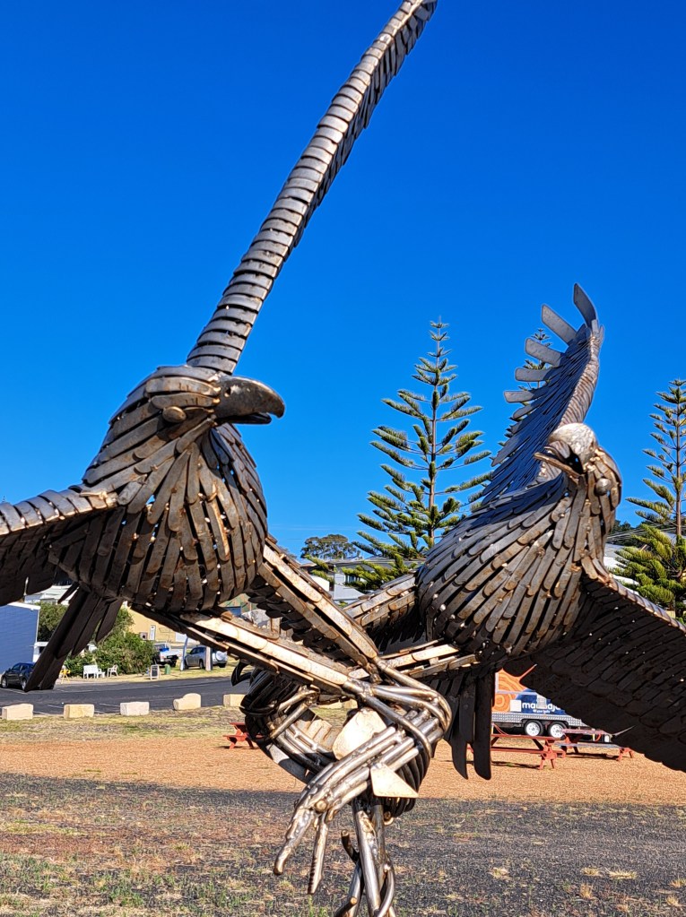
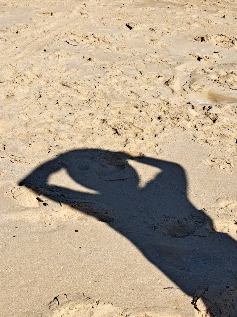
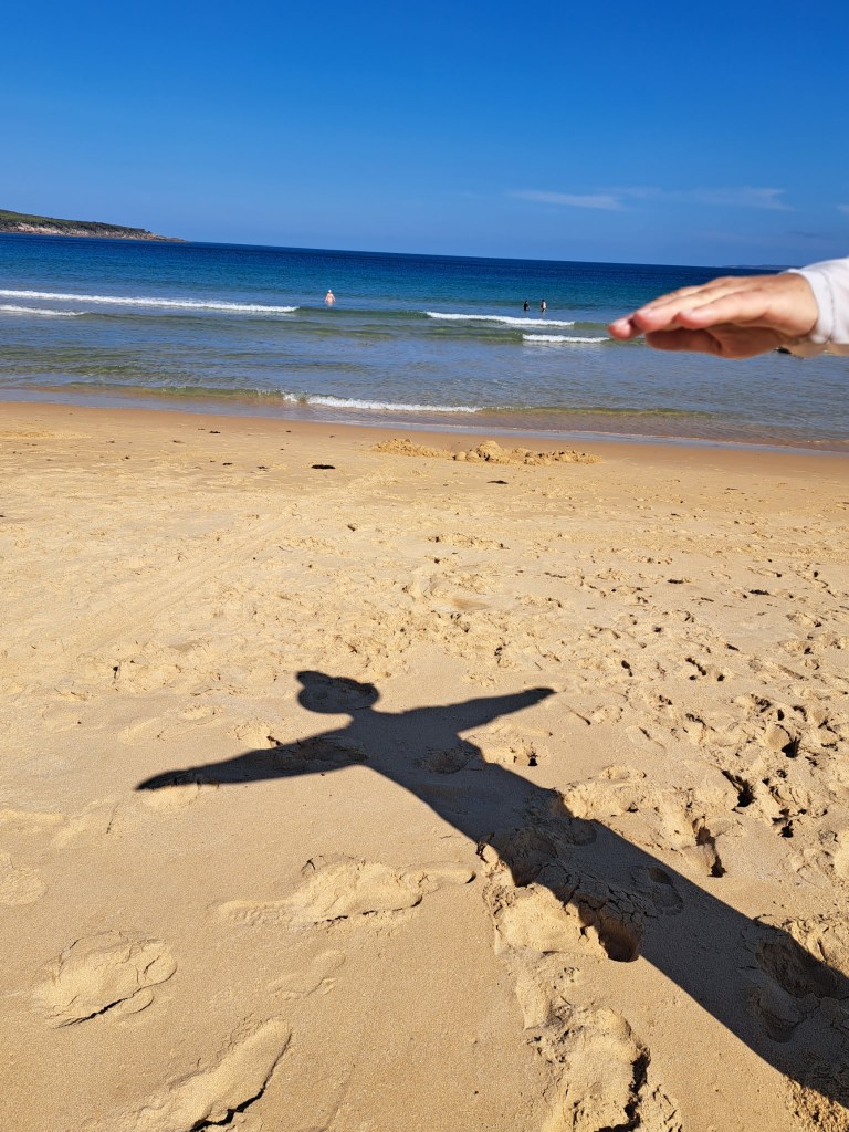
And we.had fun with photos…
Tasmania Part 1 – Devonport
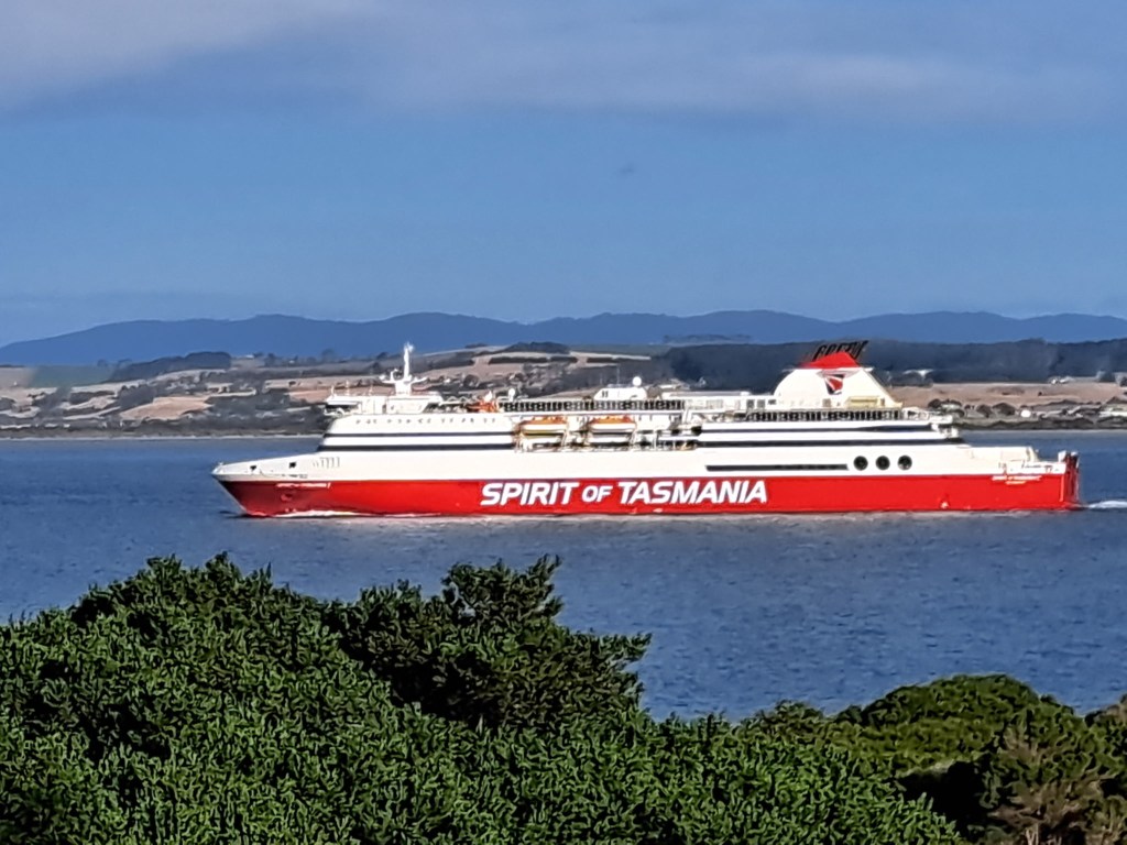
The journey to Tassie began with a 10 hour ferry from a port south Melbourne to Devonport. We had a cabin we could nap in or just have privacy when we wanted. The crossing can be rough, but we had a relatively calm trip.
We arrived at 8PM and went to the grocery shop to resupply on fresh fruits and veggies. Tasmania has strict biosecurity laws prohibiting any transport,
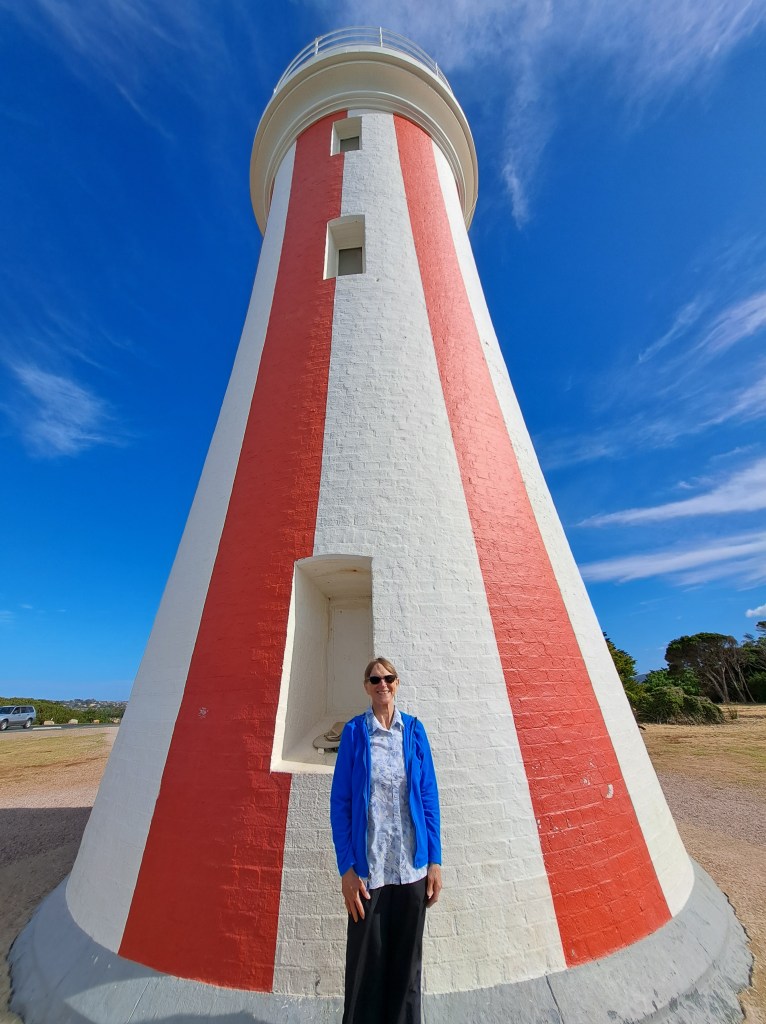
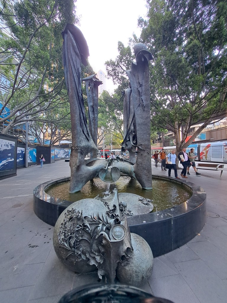
Devonport has interesting sculptures along the riverfront, including a grouping of pillars that describe history of the area from creation through founding of the city.
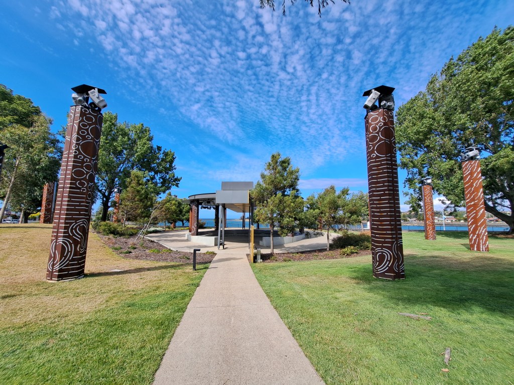
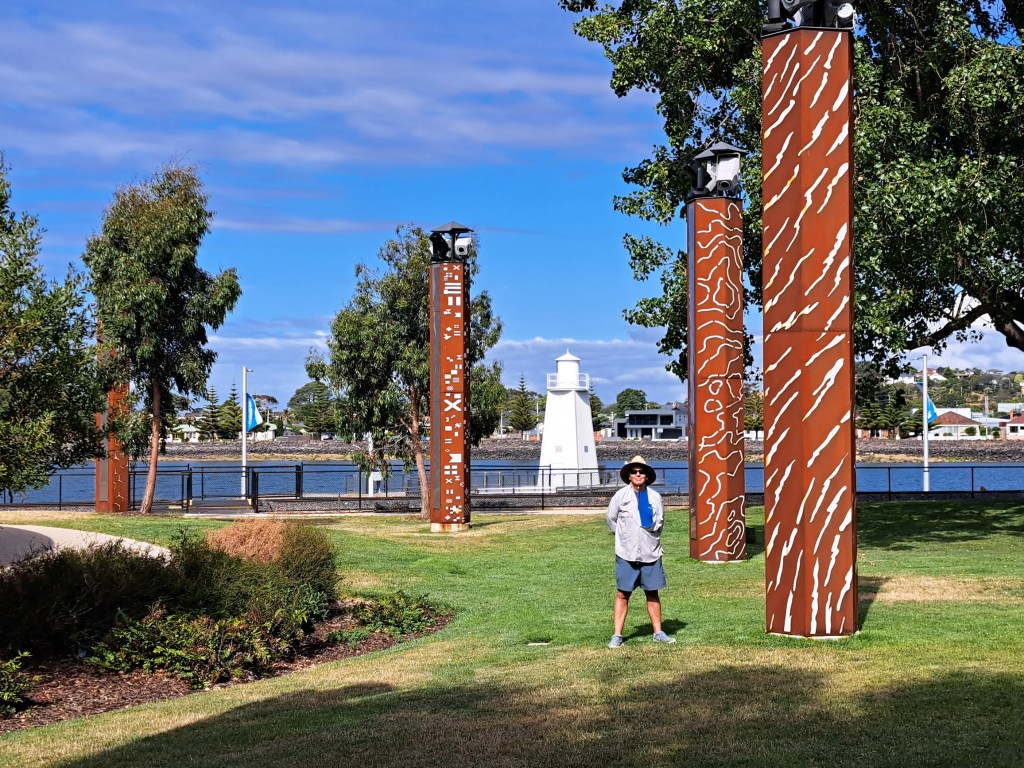
Others included a sculpture honoring 100 years of service organization and a structure that has a misting function for people to enjoy and cool off.
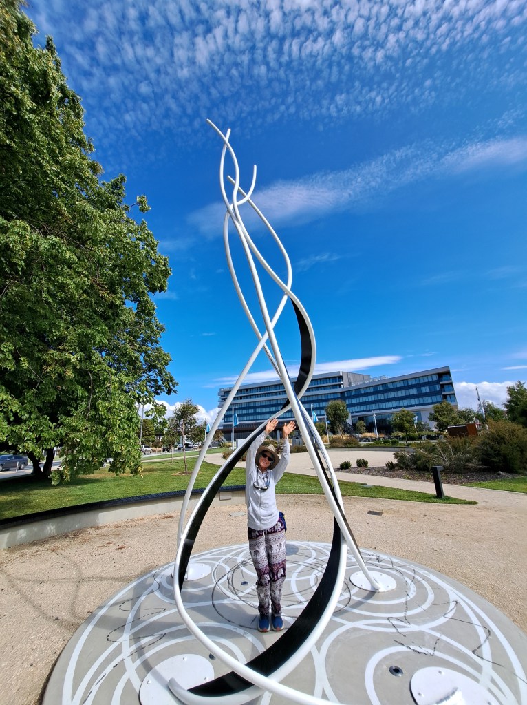
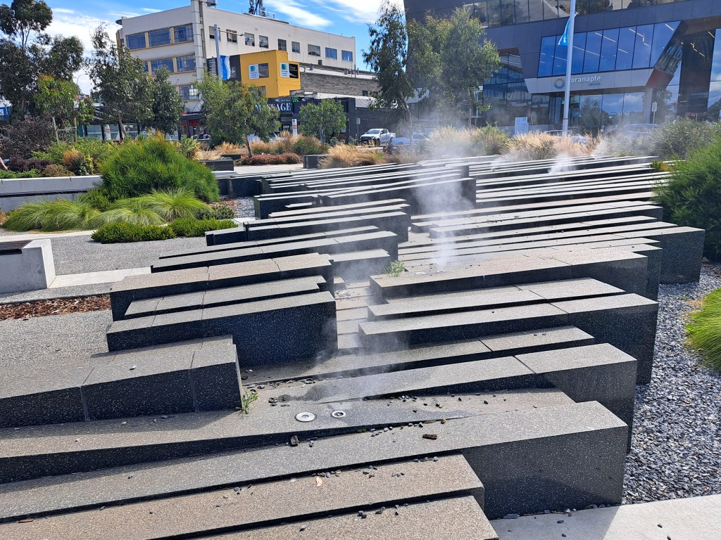
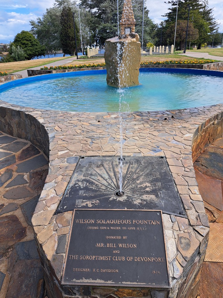
There was also a solaqueous fountain. Sunlight hits the small water jets coming from the base and the corresponding shadows created tell the time of day.
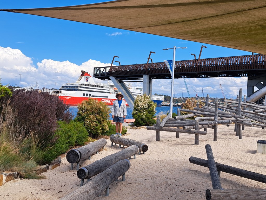
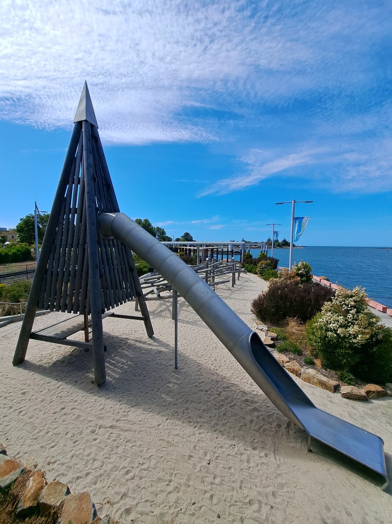
One of the things I love about Australia is their innovative challenging and creative play grounds. Devonport had a really cool one.
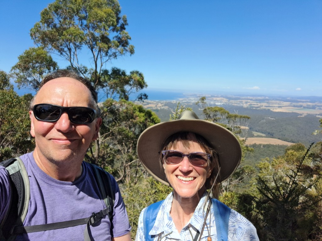
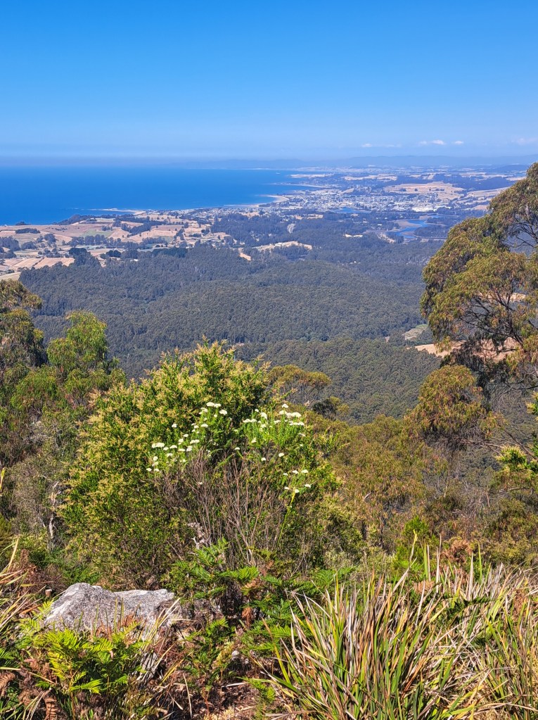
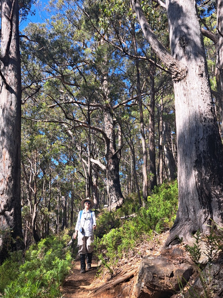
We also took a hike up Mount Montgomery. Views of the surrounding coast were amazing.
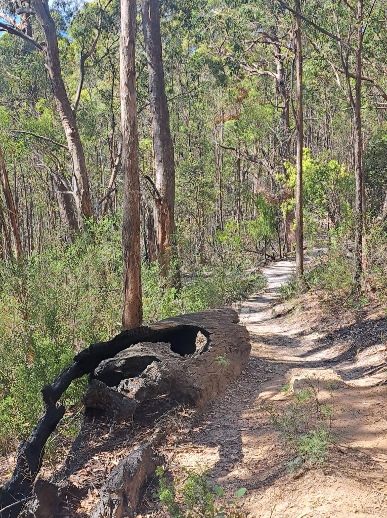
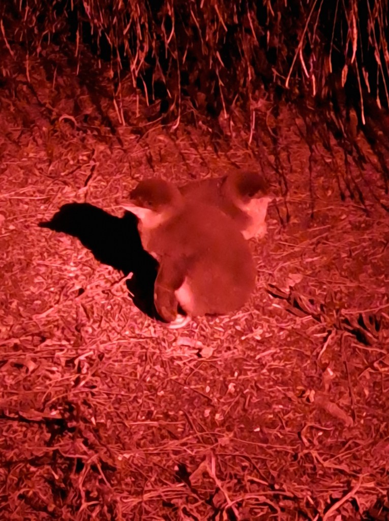
We had a night out at Lillico Beach where our Friend Mary showed us around the colony of little blue penguins. We saw chicks waiting for dinner!
Today we are off to Walls of Jerusalem National Park where we will be off grid for a bit. Then on to the west coast and rainforest….stay tuned.
Tasmania Part 2 – Walls of Jerusalem National Park area
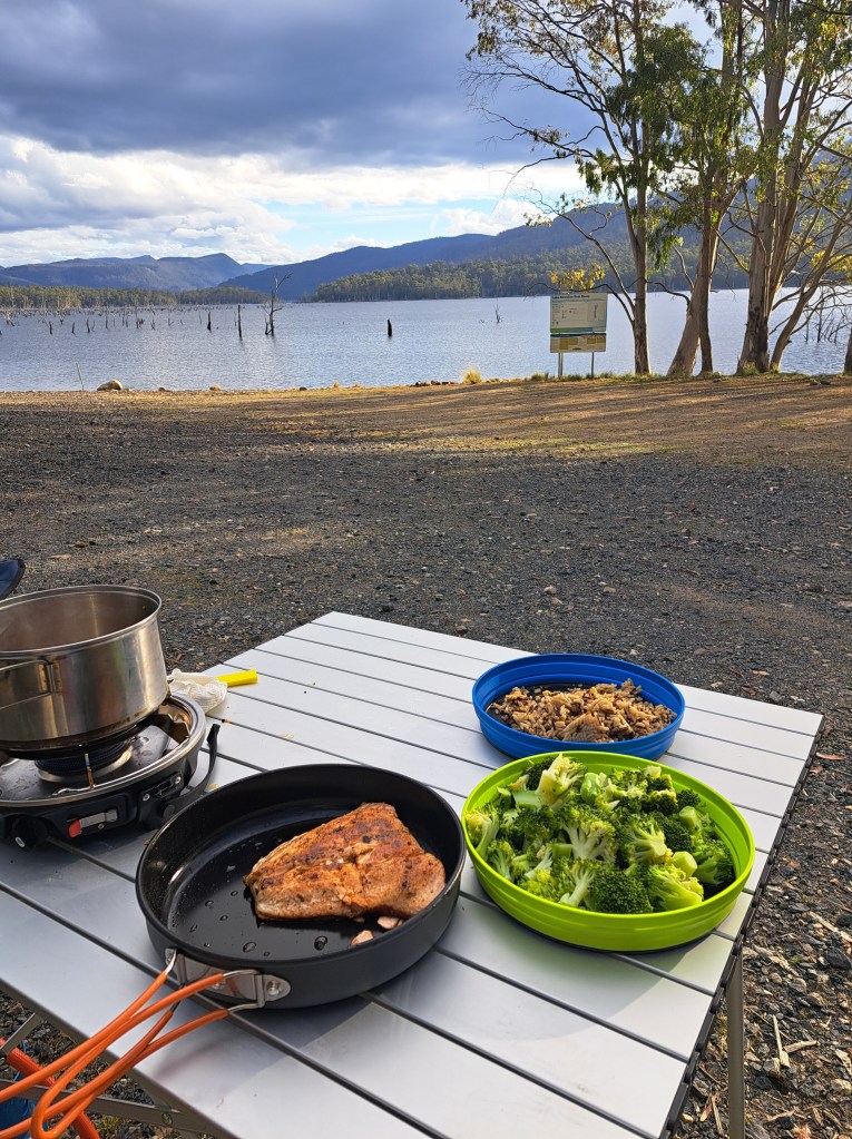
Our first inland journey we traveled to Rowallan Lake and camped near Walls of Jerusalem National Park. We enjoyed a tasty dinner of wild Tasmanian salmon lakeside.
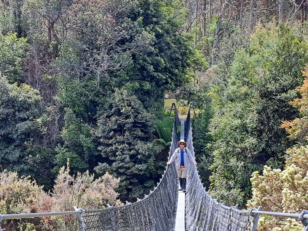
To experience the Park properly requires several days trekking which we were not quite up to. We opted for a day hike in the Mersey River valley to waterfalls.. A swing bridge was the gateway.
The trail wound through old pasture past an old hut used by cattle men. There are still active grazing options in the upper Mersey valley but we saw little evidence of activity.
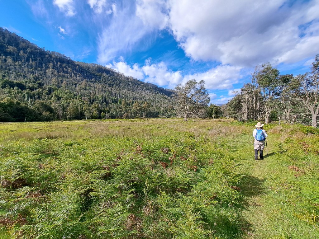
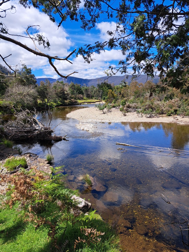
Lewis falls was our first side trip a mile or so in.
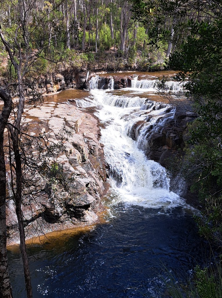
another mile or so we arrived at the side trail to Oxley falls. It took a little more searching to find the trail, but it was worth it. We enjoyed lunch by the rush of the water.
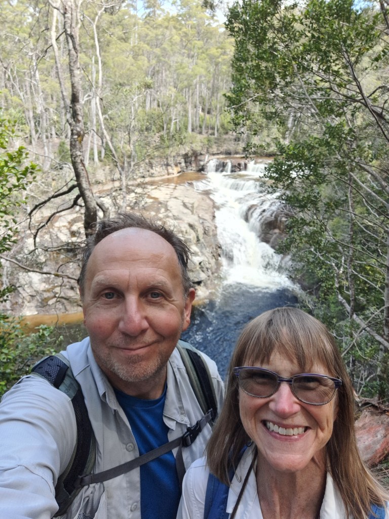
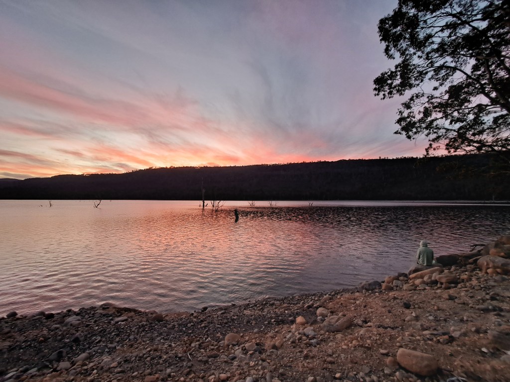
It was a beautiful day capped by a lovely sunset back at camp.
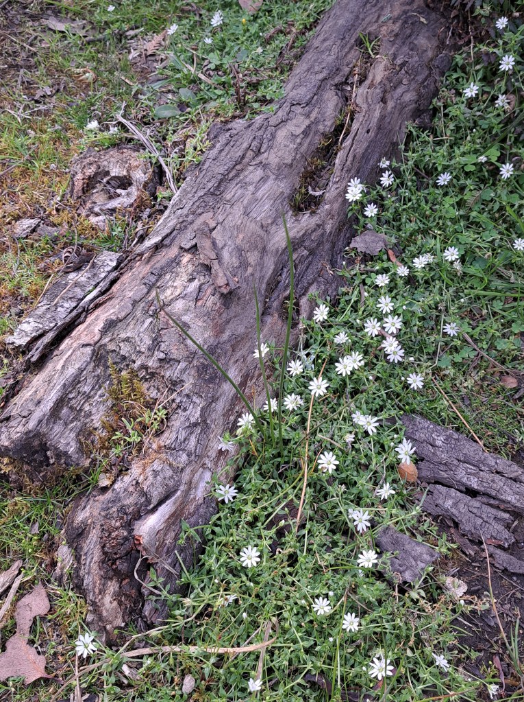
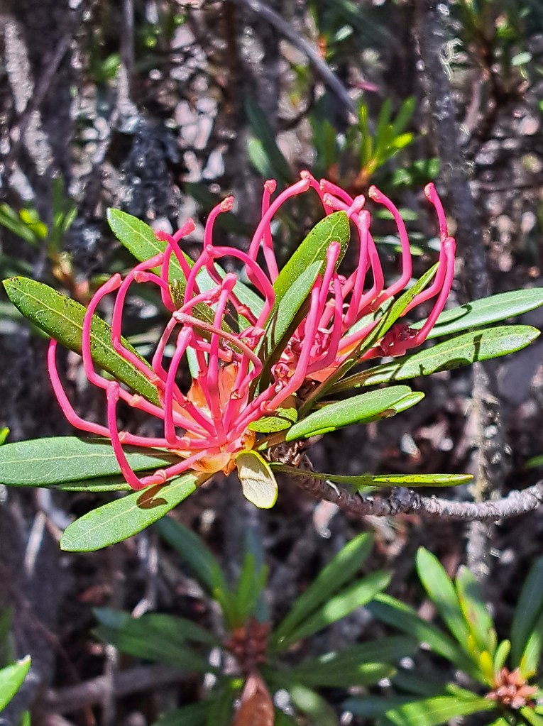
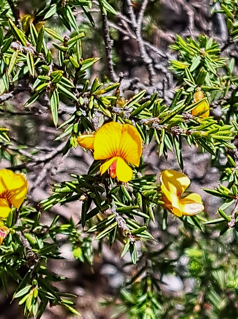
Our second day we hiked up into Walls of Jerusalem National Park from a popular trailhead. The route was steep but flowers along the way kept us distracted.
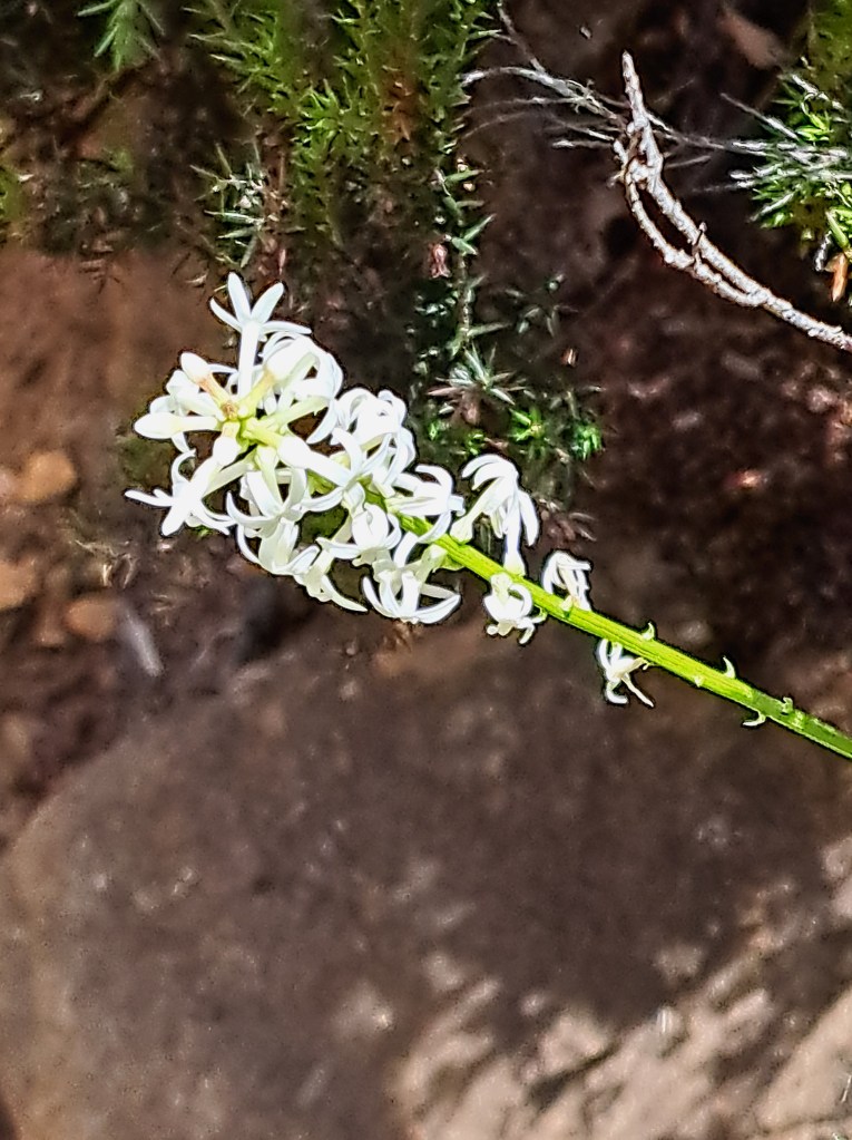
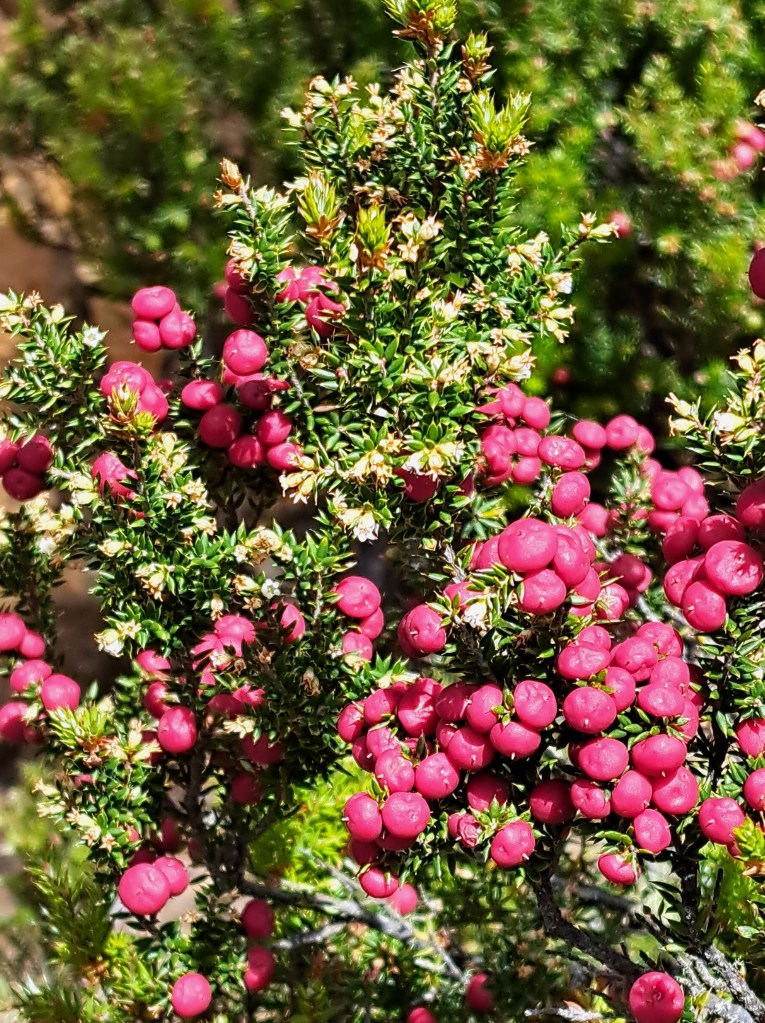
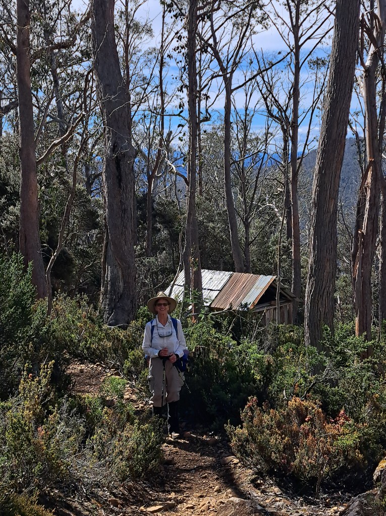
A welcome landmark was trappers hut. Men trapped rabbits up here after world war two for income. It was near the top of our thousand foot climb.
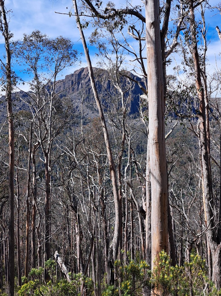
We barely scratched the edge of this park, but still loved the views.

After a late lunch at the top of our hike, we headed down and back to camp for a welcome dip in the lake.

Our third morning we packed up and made one mor stop up on the central plateau at the devil’s gullet. It was a short walk to an amazing canyon of dolerite, lava that were erupted when Australia and Antarctica split apart.
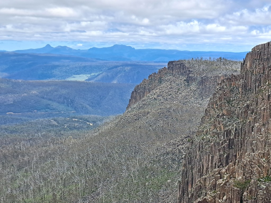
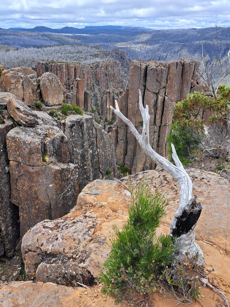
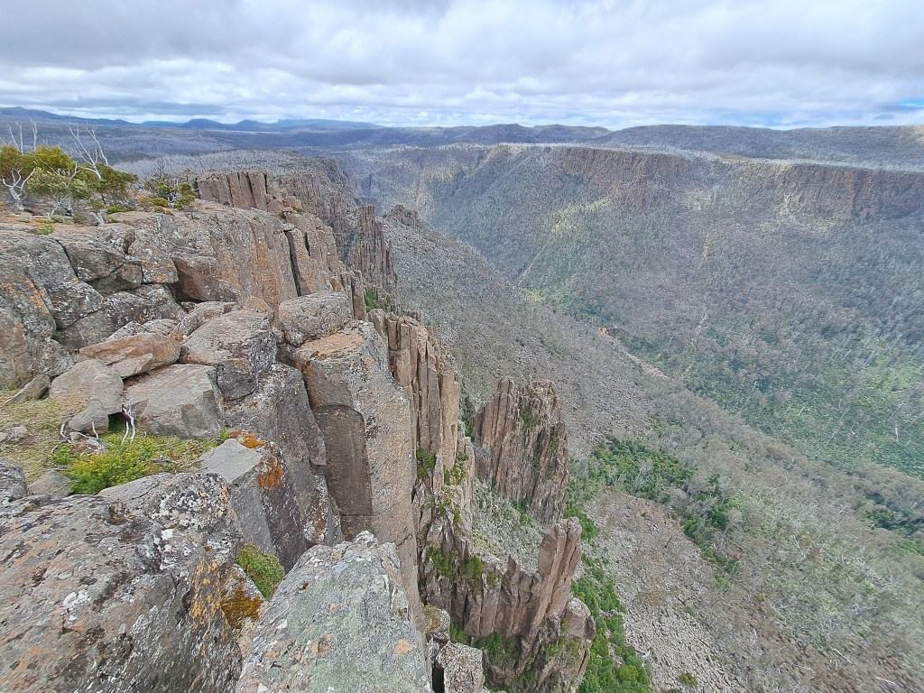
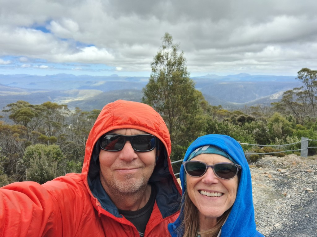
And then we were off to.the rainforest hamlet of Corinna …
Tasmania Part 3 – Waratah to Corinna
After exploring the northern mountains we headed to the hamlet of Corinna. Our route took us through the town of Warataugh, a historic tin mining district.
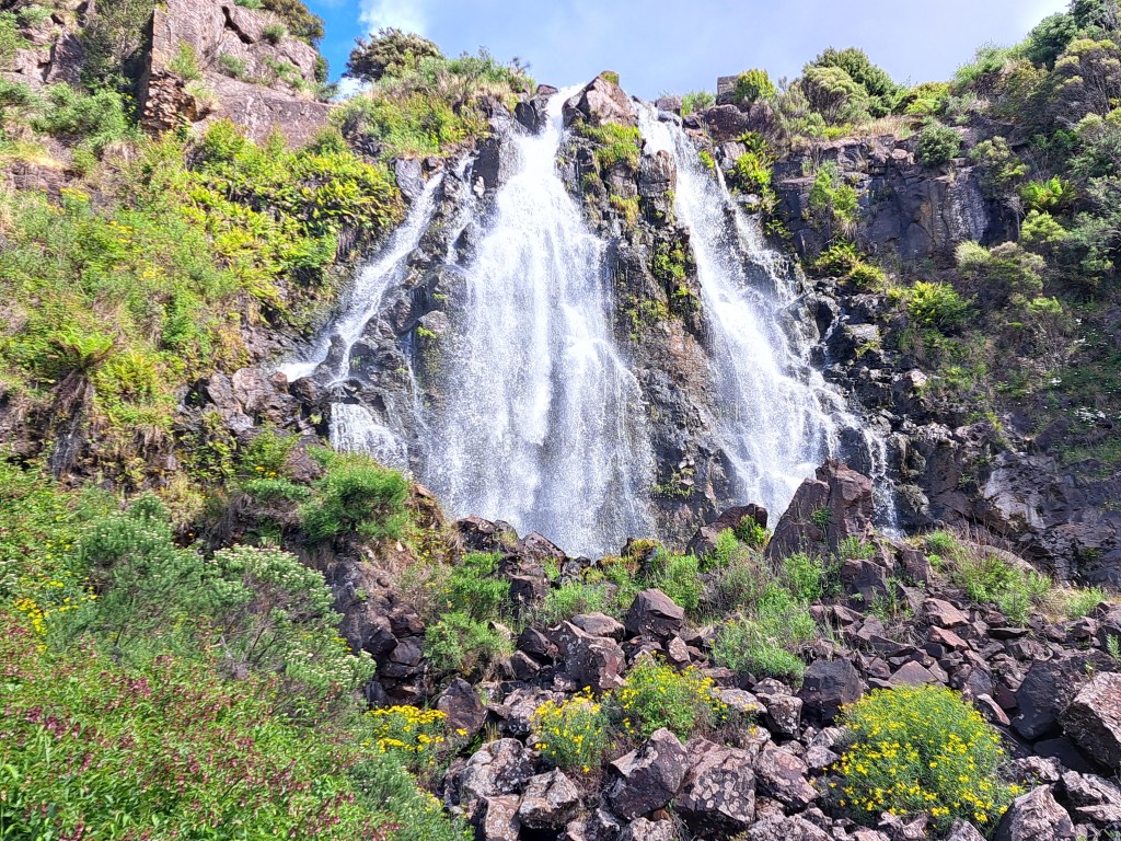
The waterfall above was channeled through seven water wheels.that ran the stamp mill to crush ore as we’ll as generate electricity.
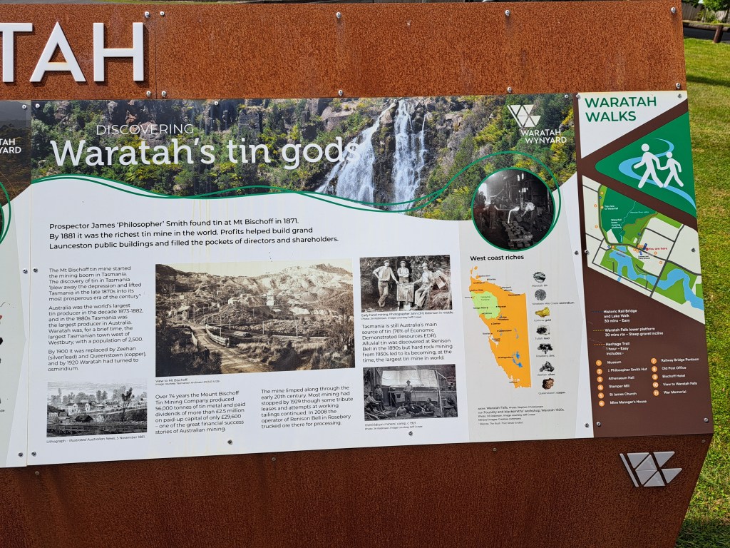
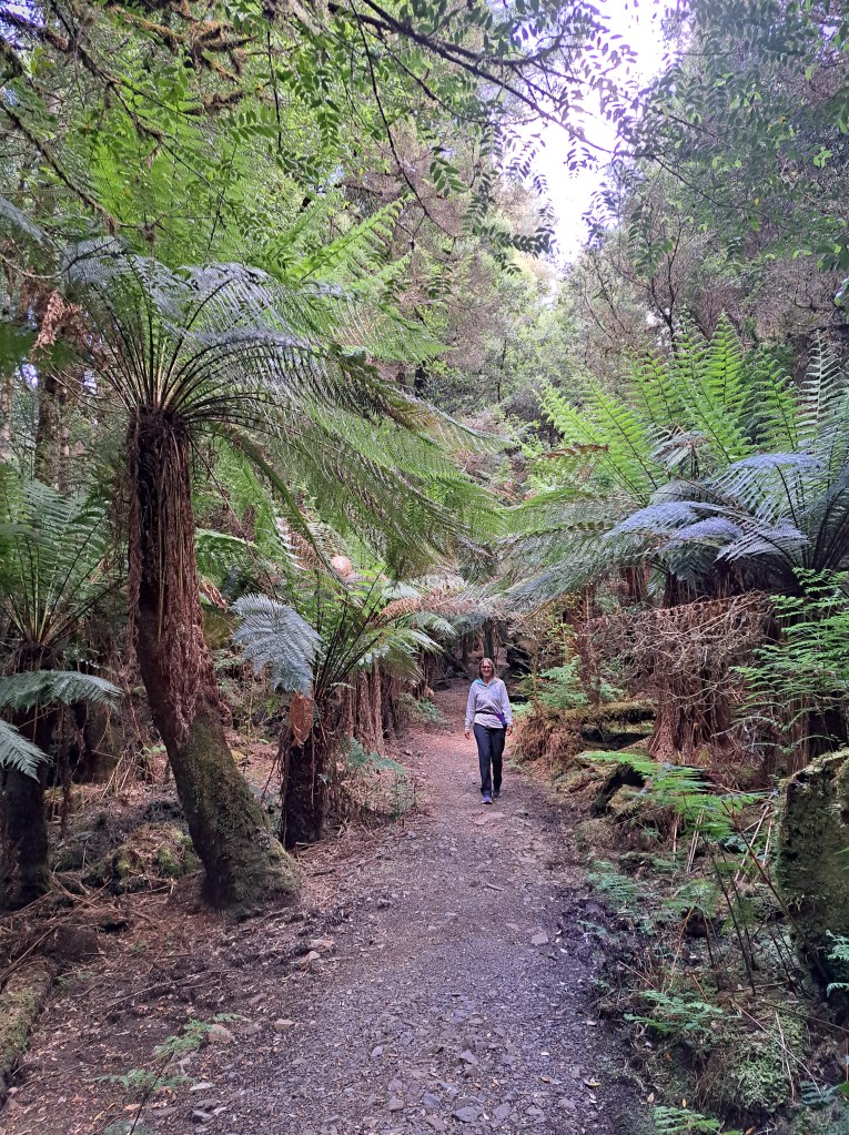
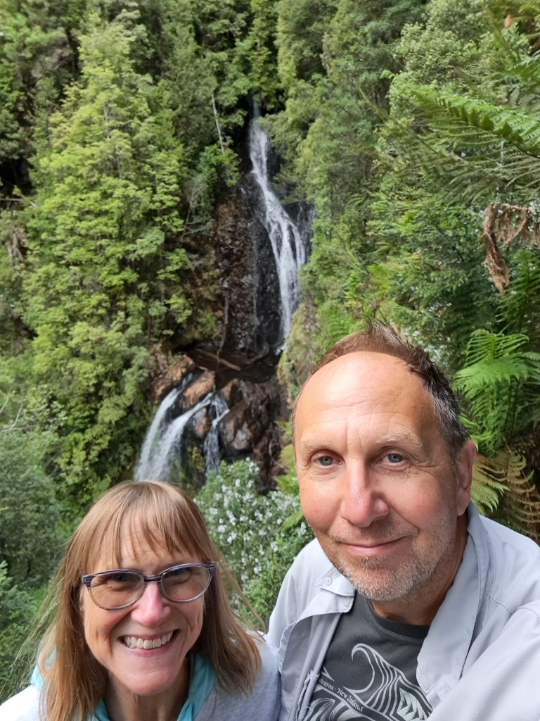
James “Philosopher” Smith discovered the tin deposit at Mt. Bischoff in 1881 after exploring the rugged mountain country. We took a hike to Philosopher Falls named in his honor.. The track would through tree ferns and rainforest.
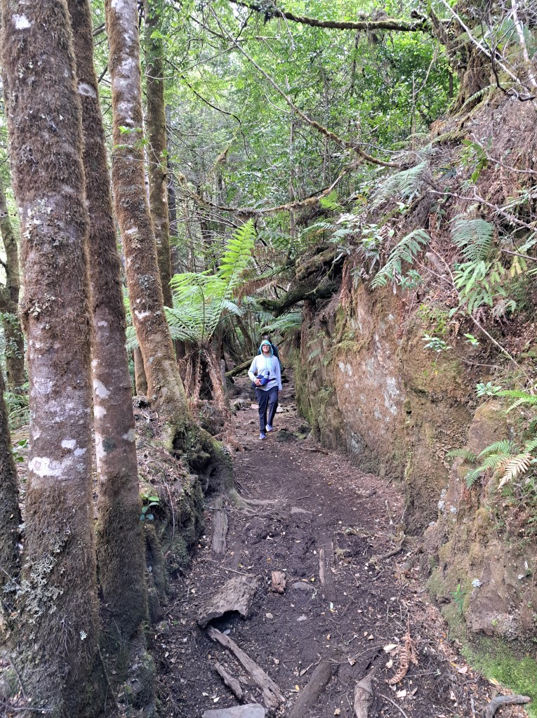
Part of the track was in the old race (flume) used to deliver water to the mine (see photo below).
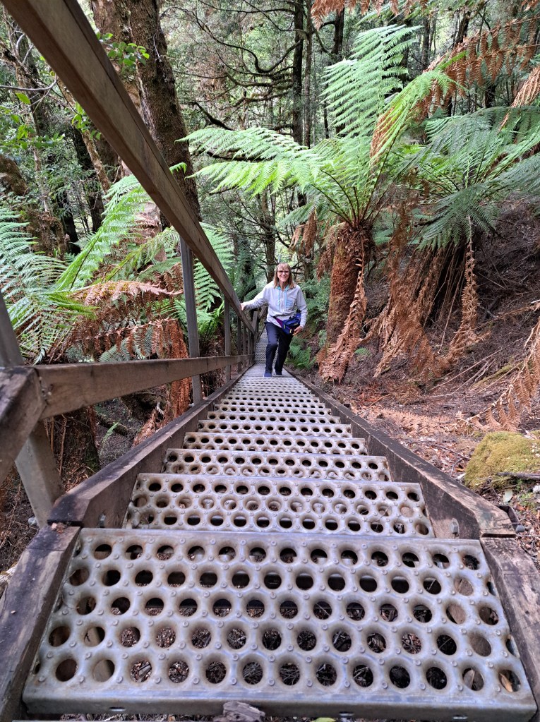
The falls.were lovely, but required 219 steps down to the viewing platform. Which meant 219 steps back up…
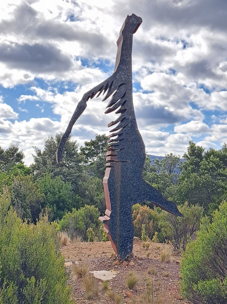
From there we wound our way through rugged hill country past an interesting sculpture titled Extinction. It is a sculpture of a thylacine, which became extinct after the whites arrived. It is also a memorial to the Tasmanian aboriginal people who faced a nearly similar fate.
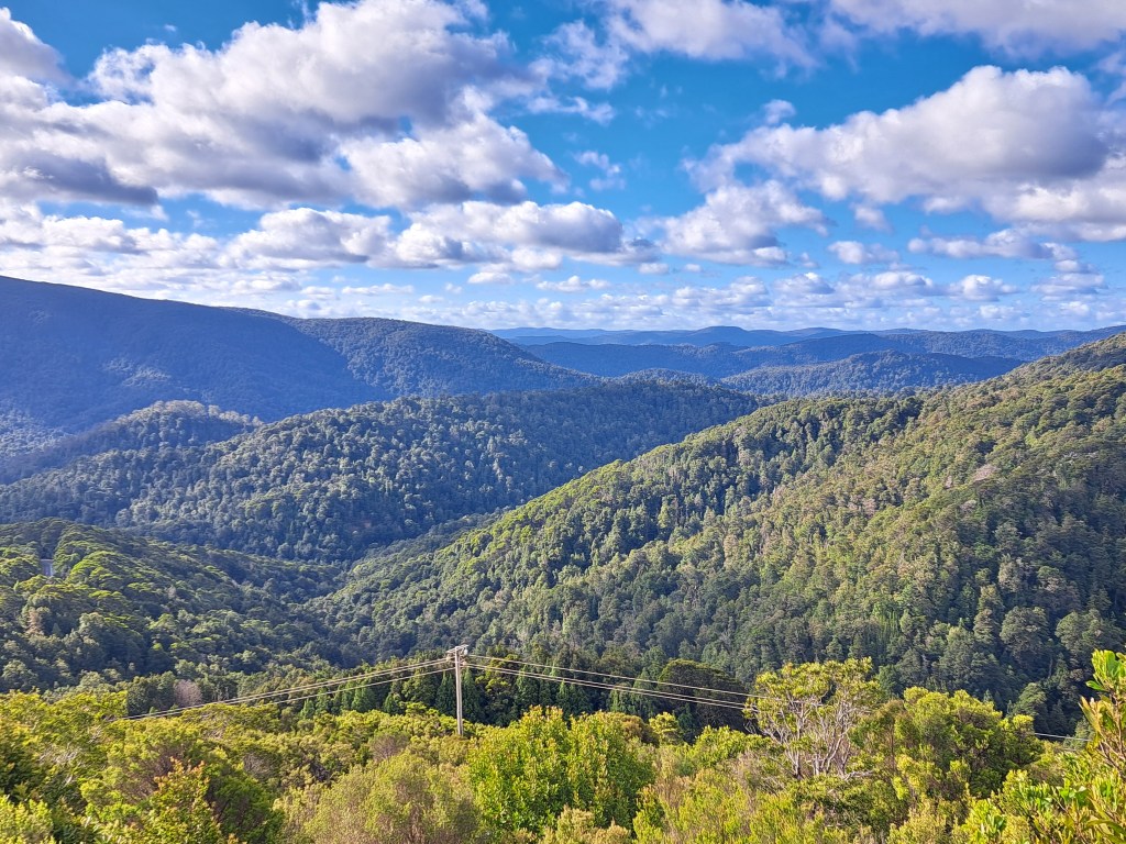
We passed Savage River, home to an active tin mine and ended the day at Corinna. There isn’t much to Corinna aside from.a lodge and campground. The campground was full so we opted for a free camp a few miles away above the Savage River.
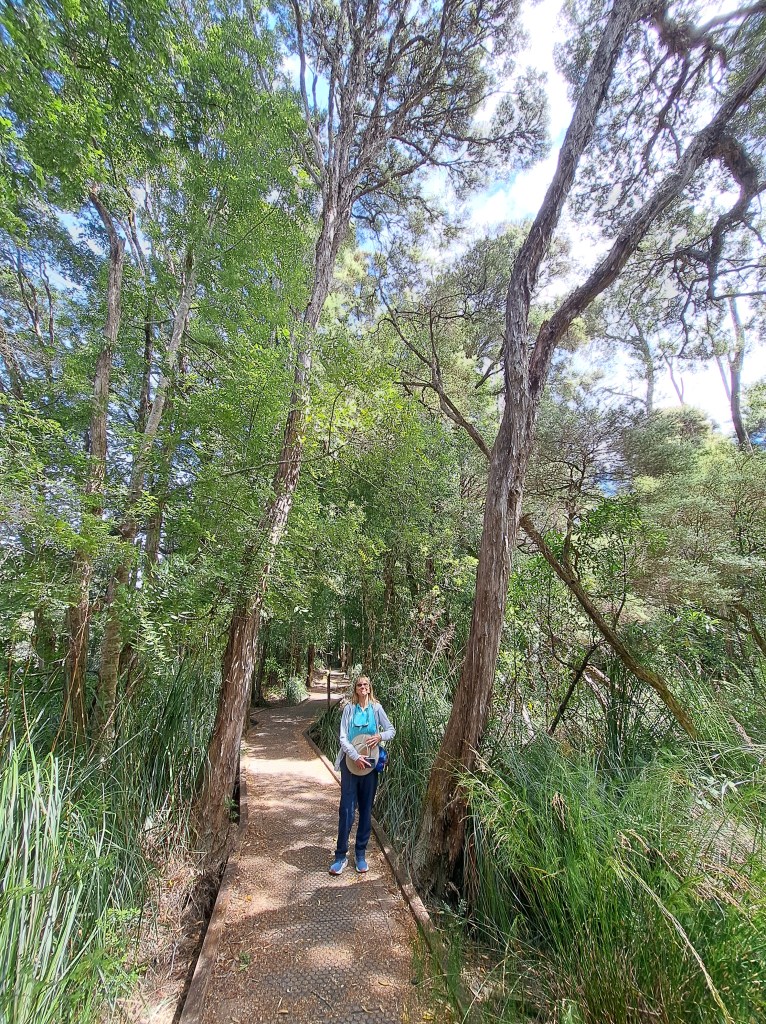
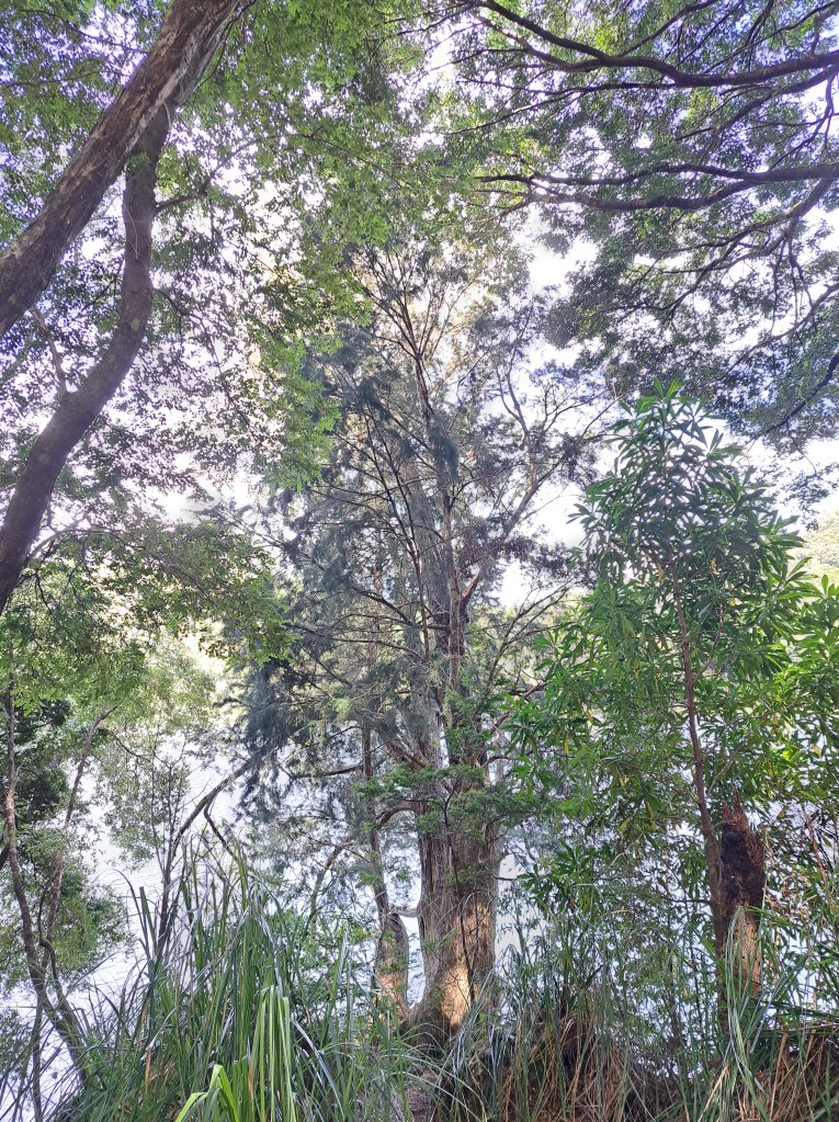
Next morning we walked through the forest to view some remaining tall Huon pines. The largest tree was about 800 years old. I will write more about these amazing trees in the next installment.
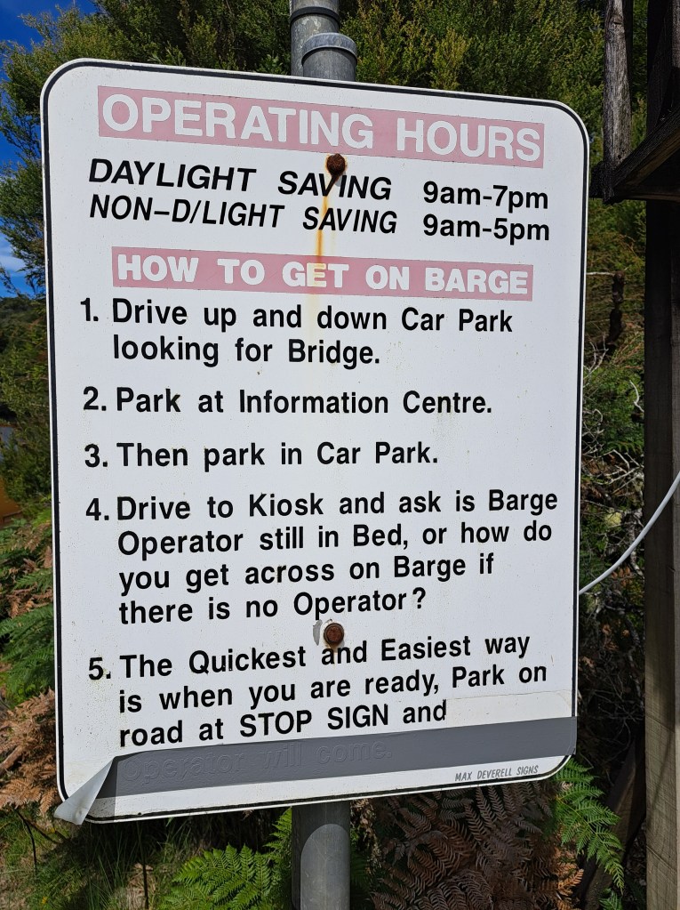
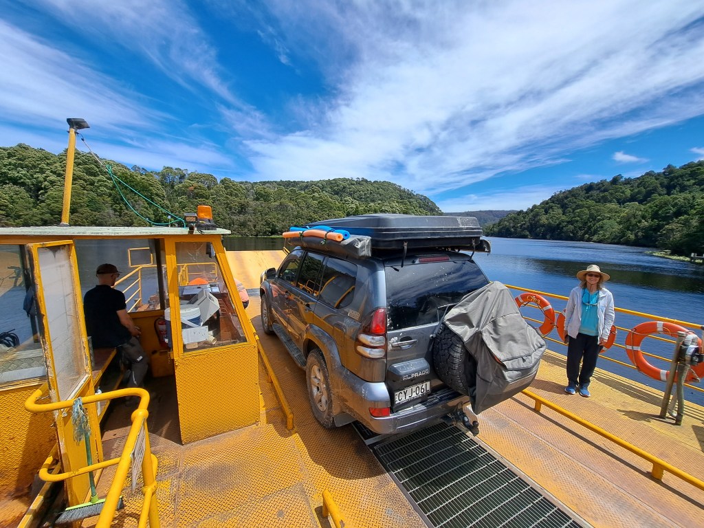
After our walk and exploring the remains of this 1880s gold mining town, we headed to the crossing of the Pieman River.
Next stop Strahan…
Tasmania Part 4 – Strahan and Macquarie Harbour
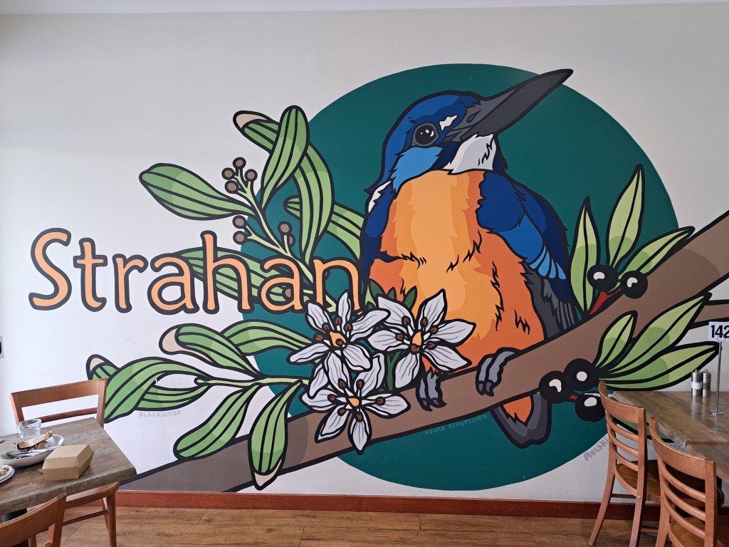
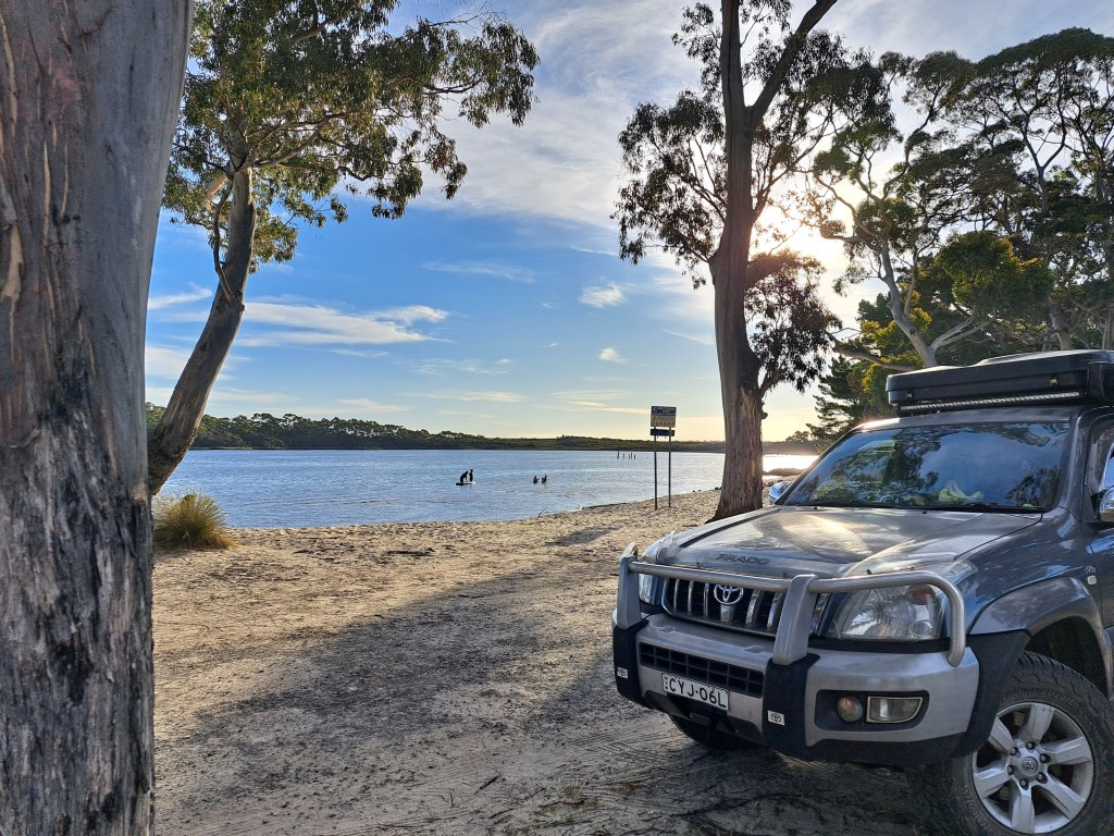
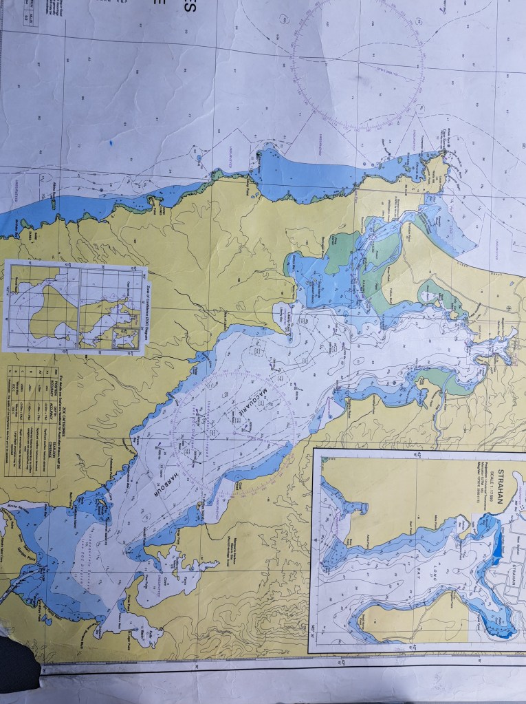
From Corinna we drove through Zeehan to the town of Strahan, the port on Macquarie Harbor. The area was home to the Toogee aboriginal people for about 35,000 years.
James Kelly discovered the entrance to the harbor for Europeans in 1815. The British soon established a penal settlement in 1822 at Sarah Island. The convicts sent there had previously escaped and were captured. It was thought that the remote location, accessible only by sailing around Tasmania and entering the harbor through hells gate. The gate was a narrow entrance subject to high seas from the roaring 40s and strong tidal influence.
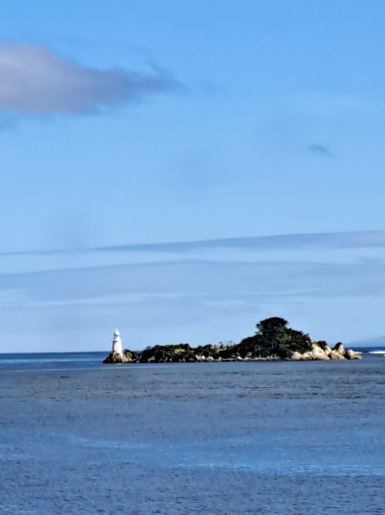
We took a cruise out through the gates on a beautiful day. The seas were calm, one of only a few days a year. Our stop at Sarah Island was educational .
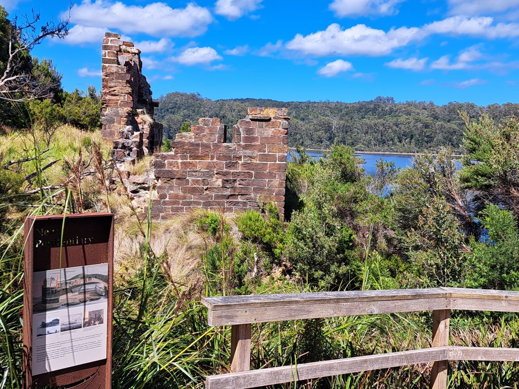
The penal colony was hell on earth for prisoners. One in five tried to escape. Those captured were subject to 100 lashes. One escapee, James Goodwin, a former surveyor, managed to escape in a stolen canoe and over six weeks tmadw his way across the island . When he was recaptured, they assigned him to a survey team instead of sending him back.
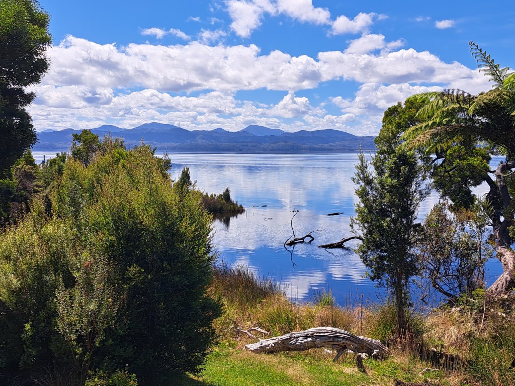
Over a thousand convicts were at the tiny island at a time. When a new commander was put in charge of the island to try to reduce escapes. There were a number of boat builders and they soon began to train convicts in ship building. Punishments were also reduced. In short order the settlement was producing high quality ships and the morale of prisoners improved.
After we left the island we sailed up the Gordon Ruver to Heritage Landing, and a walk through forest that has large old growth trees of Huon pines.
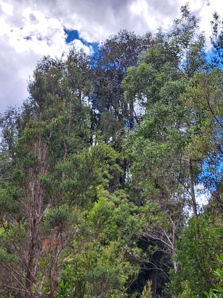
Following the convicts settlement days, piners came to mine the trees. Huon pine was highly sought after for shipbuilding due to its resistance to rot.
Although protected today, there are logs that sank in the harbor over 100 years ago that have been salvaged and are fresh as the day they were cut.
A highlight of our trip was a massive solar storm that provided viewing of the Aurora australis…
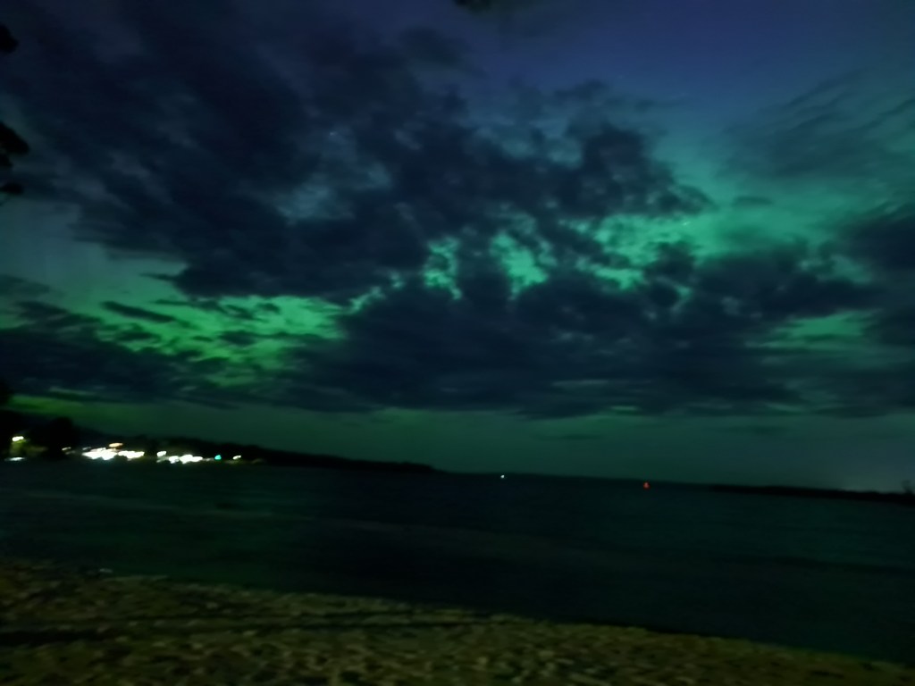
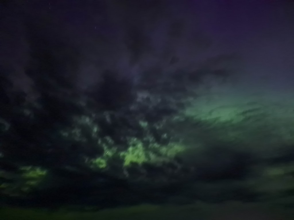
We spent a couple nights out at Macquarie Head, near hells gate, to relax and enjoy walking and exploring the beach.
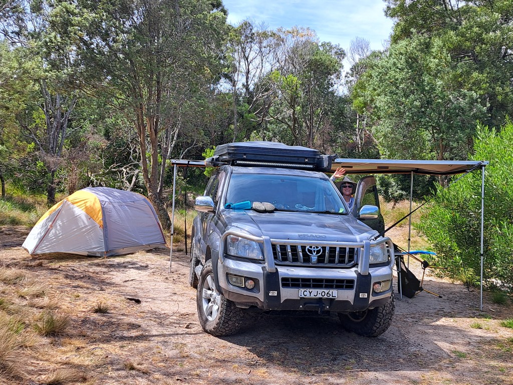
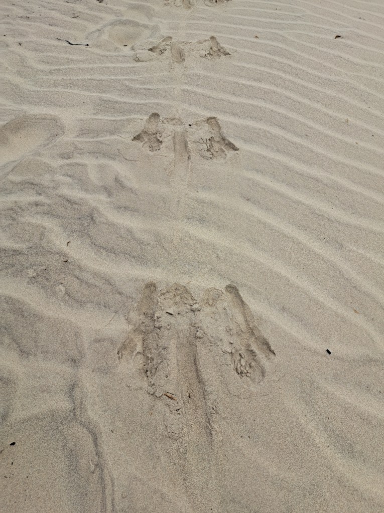
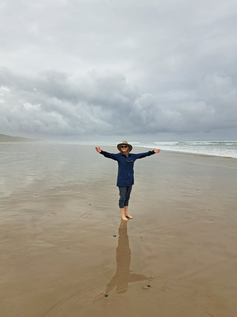
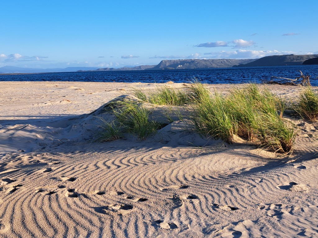
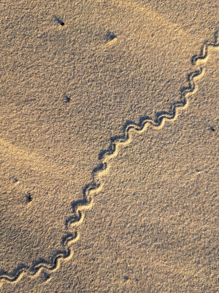
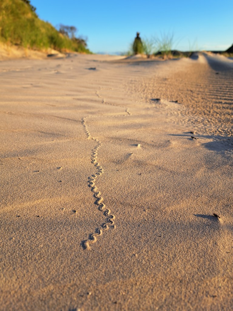
From here we drove back through Zeehan and Queenstown to Lake St. Clair National Park…
Tasmania Part 5 – Strahan to Lake St. Clair
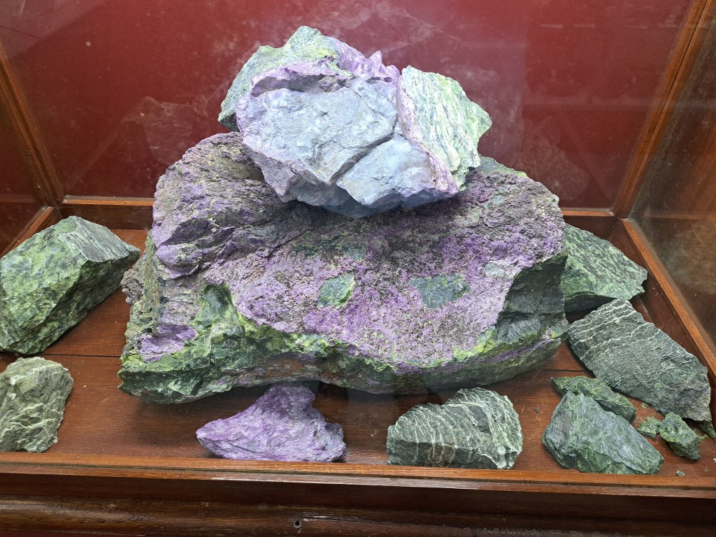
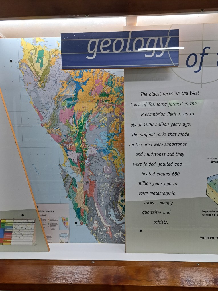
Zeehan was a mining hub and home to the Zeehan School of Mines for a few decades. There is still a large heritage center with excellent mineral displays.
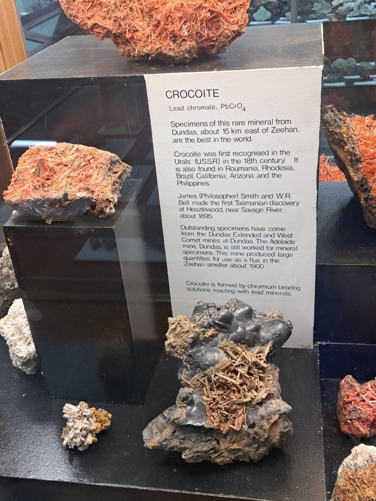
Crocoite, a lead chromate, is one of the minerals the locality is famous for.
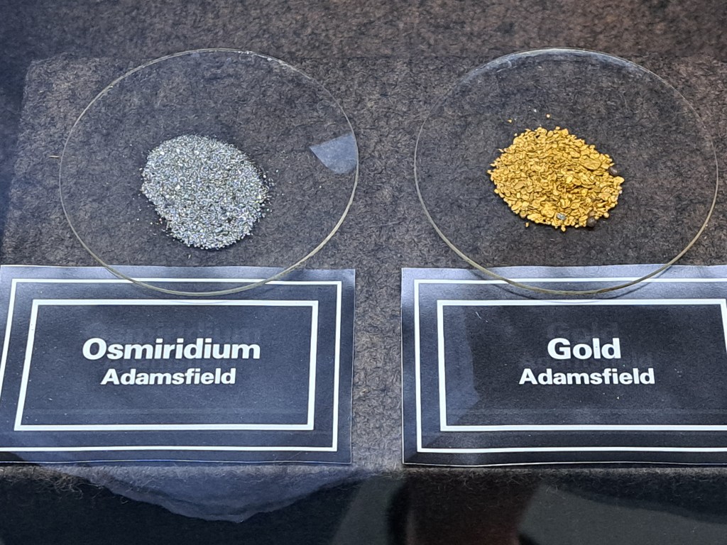
Other minerals mined.in the area include gold, osmiridiun, and copper.
Copper was mined and smelted in Queenstown f I r nearly a hundred years. The sulphur dioxide from smelting combined with high rainfall to acidity the soil, which had largely been cleared for mone and townsite development. The result is a landscape that still struggles to recover decades later.
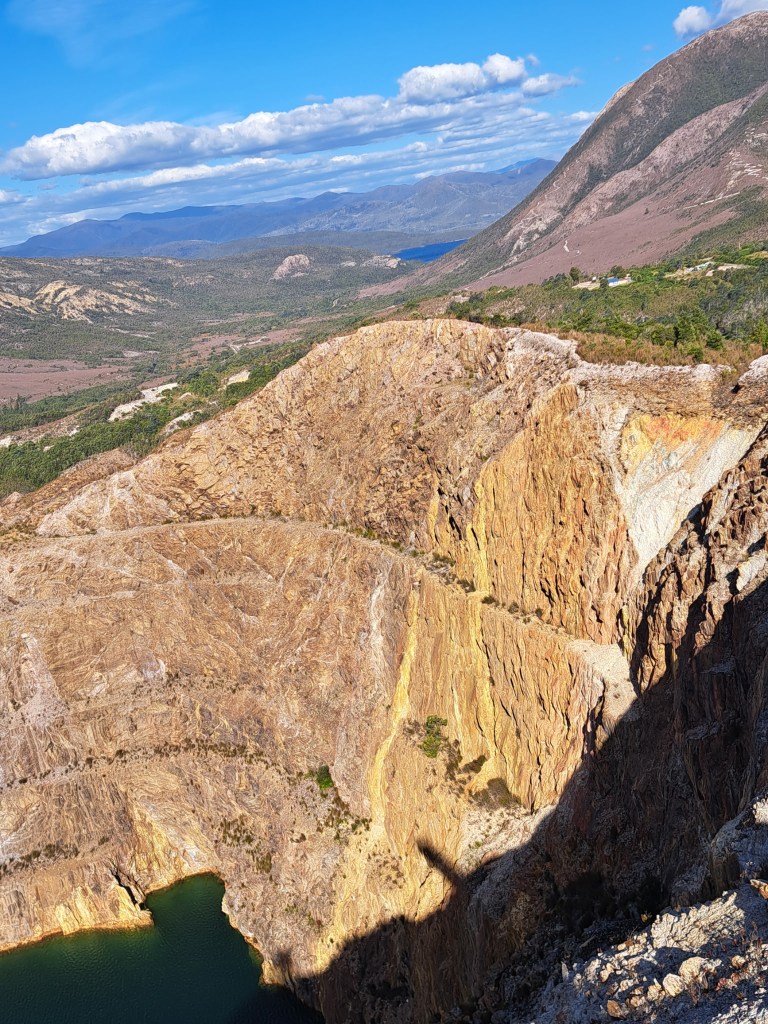
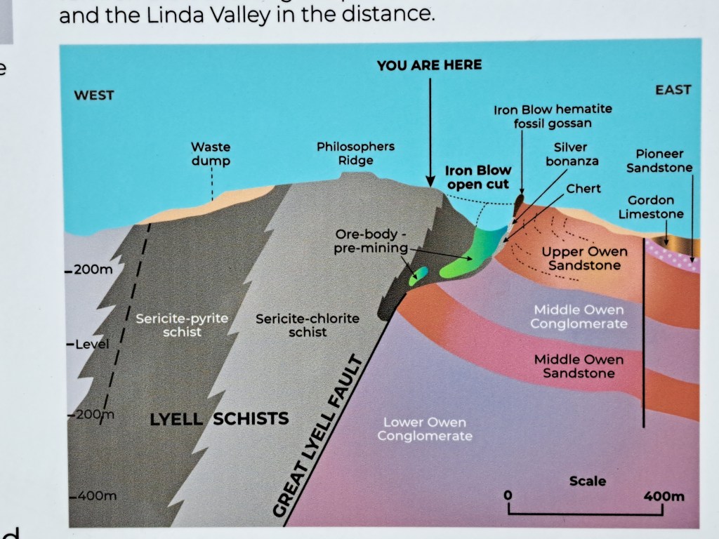
There are a number of good short walks between Queenstown and Lake St. Clair.
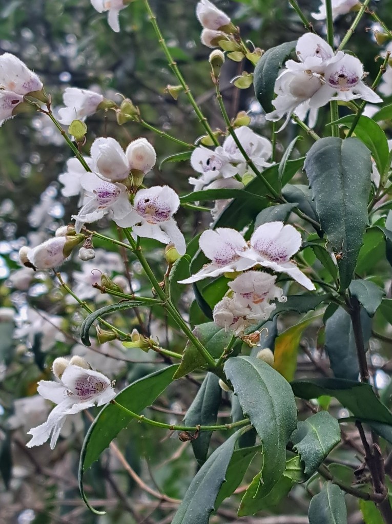
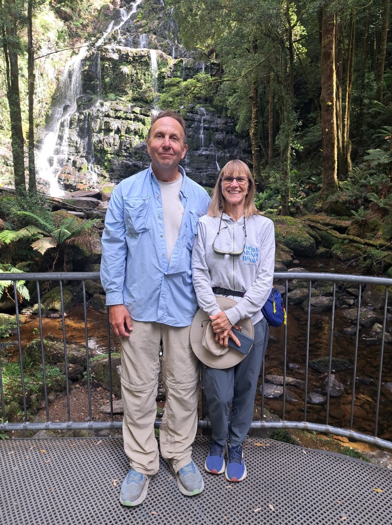
We took a few walks, including a waterfall and along the Franklin River headwaters. A dam planned on the Franklin in 1970s threatened to flood a vast area of wild river. There were mass protests along the river and they were eventually successful. The work of art below was designed to honor the protesters who saved the Franklin.
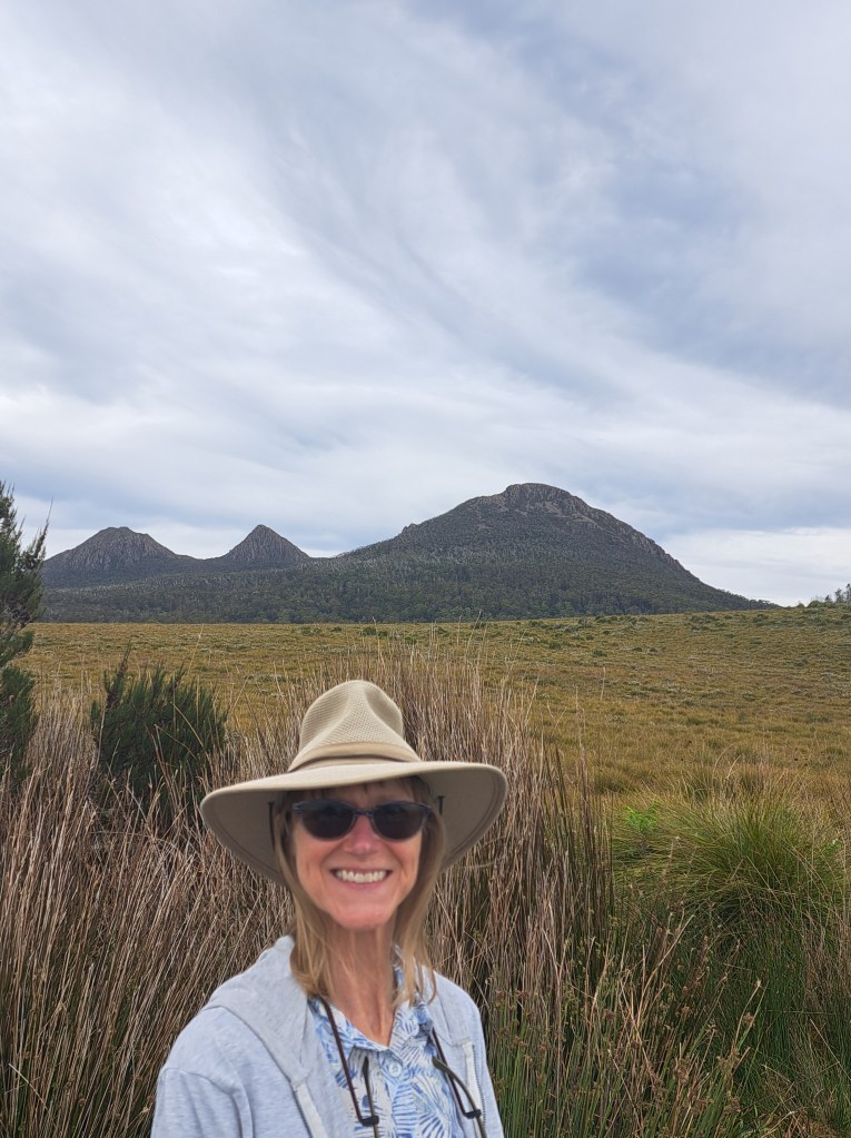
We passed through high button grass plains to camp by Lake King William.
Tasmania Part 6 – Lake St. Clair National Park
ocated at the southern end of the Overland Track, Lake St. Clair sits in a deep glacial valley. The area is home to big trees and alpine ecosystems alike.
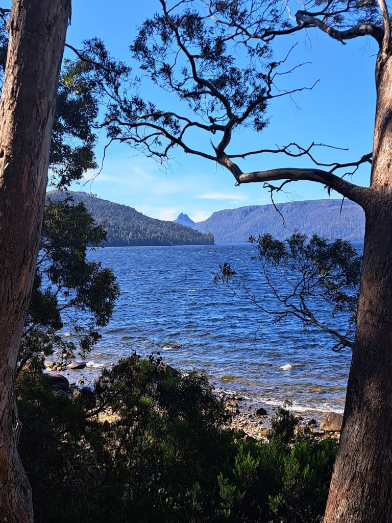
We sampled some of the terrain on a loop walk to Shadow Lake. Our walk began at the lake level and climbed gradually upwards.
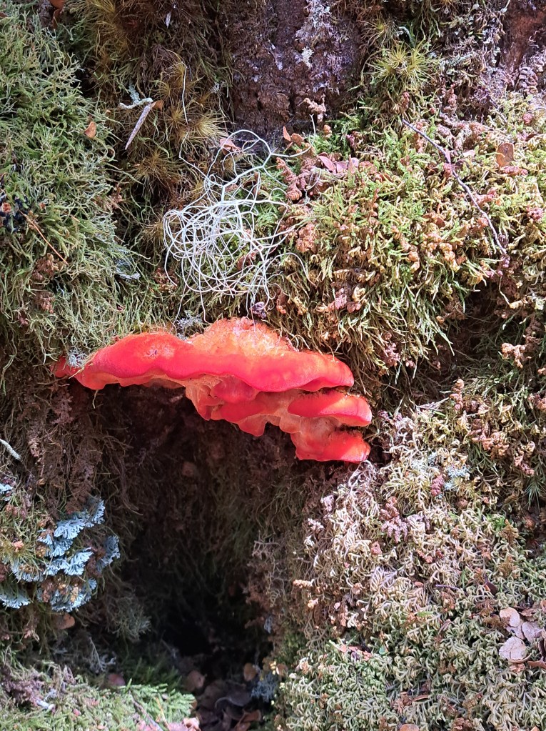
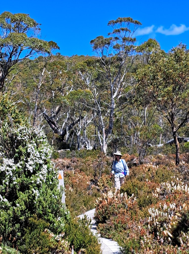
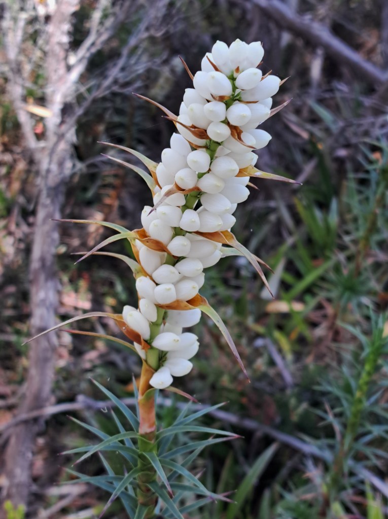
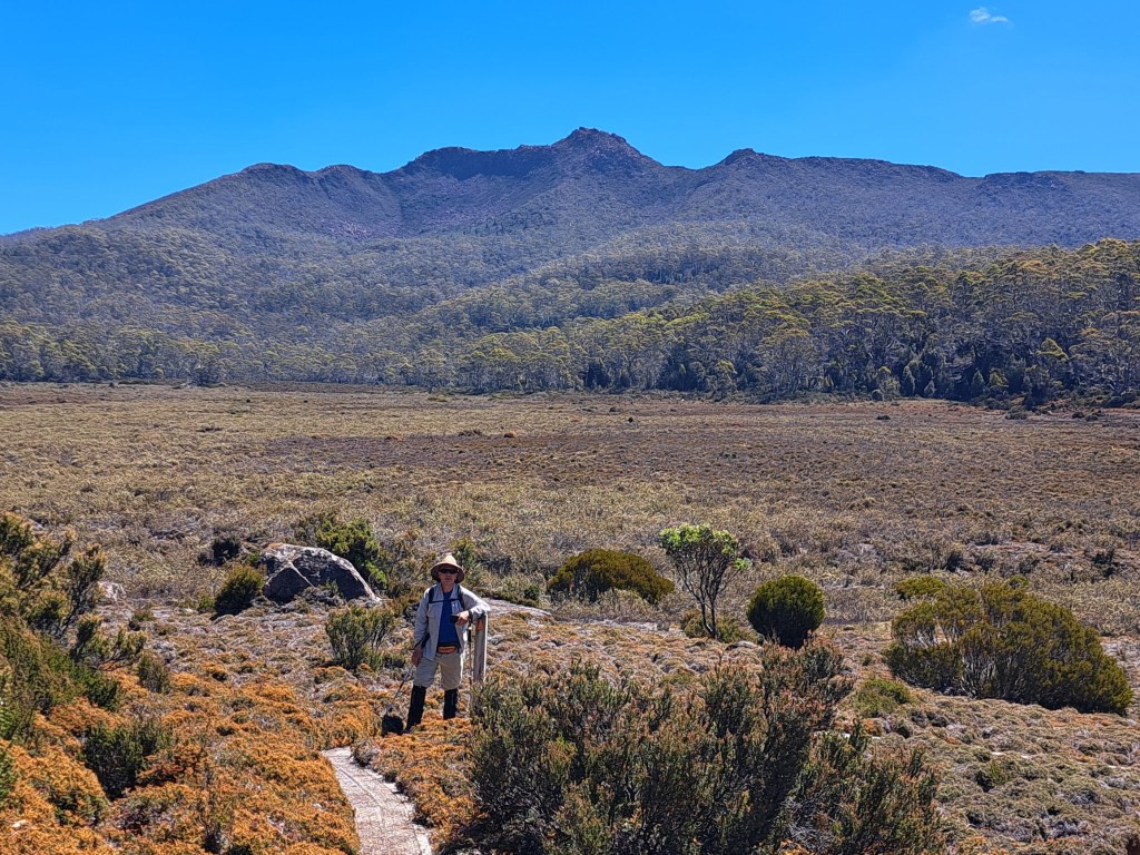
We came close to tree line and crossed a boggy before climbing a bit to the edge of the lake.
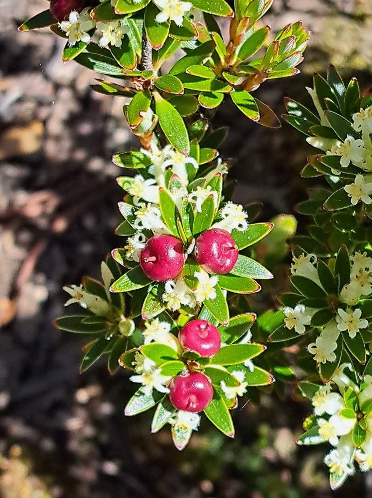

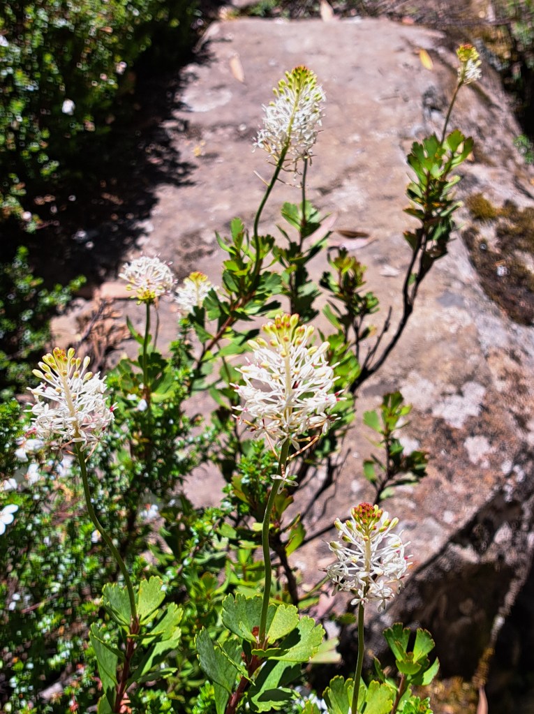
After a hot day of hiking we retired to our lakeside camp.
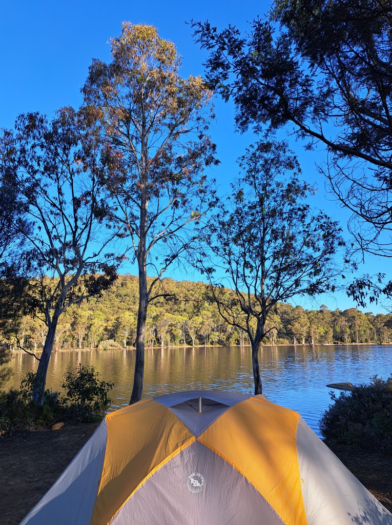
Waking up early gave us a sunrise treat, but we went back to bed after snapping this photo.
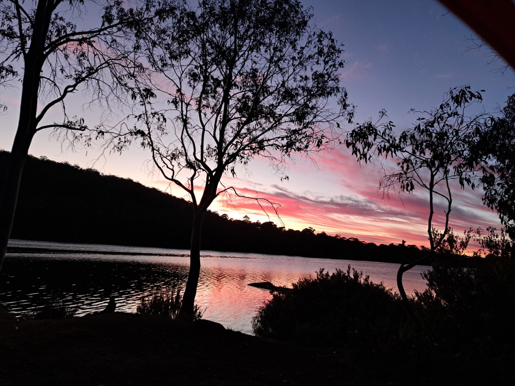
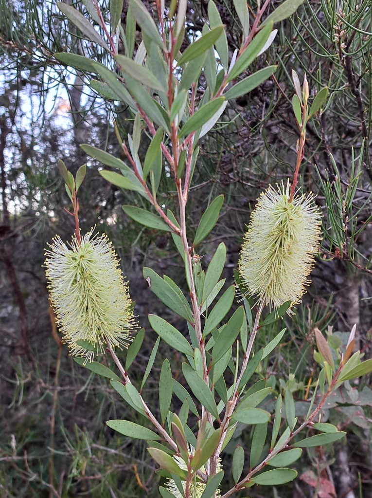
Another day of exploring and we were off for Southwest National Park…
Tasmania Part 7 – Southwest National Park
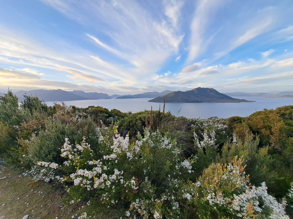
We traveled from Lake St. Clair to Mount Field National Park where we spent a night before heading to Lake Pedder at the end of the road. Our goal was to spend a few days exploring this remote part of Tassie.
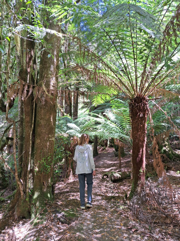
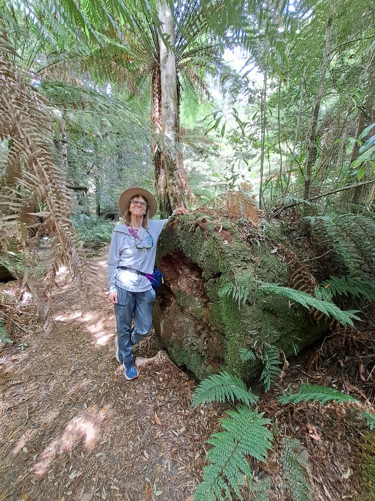
We took a few forest walks along the way, past large trees standing and fallen.
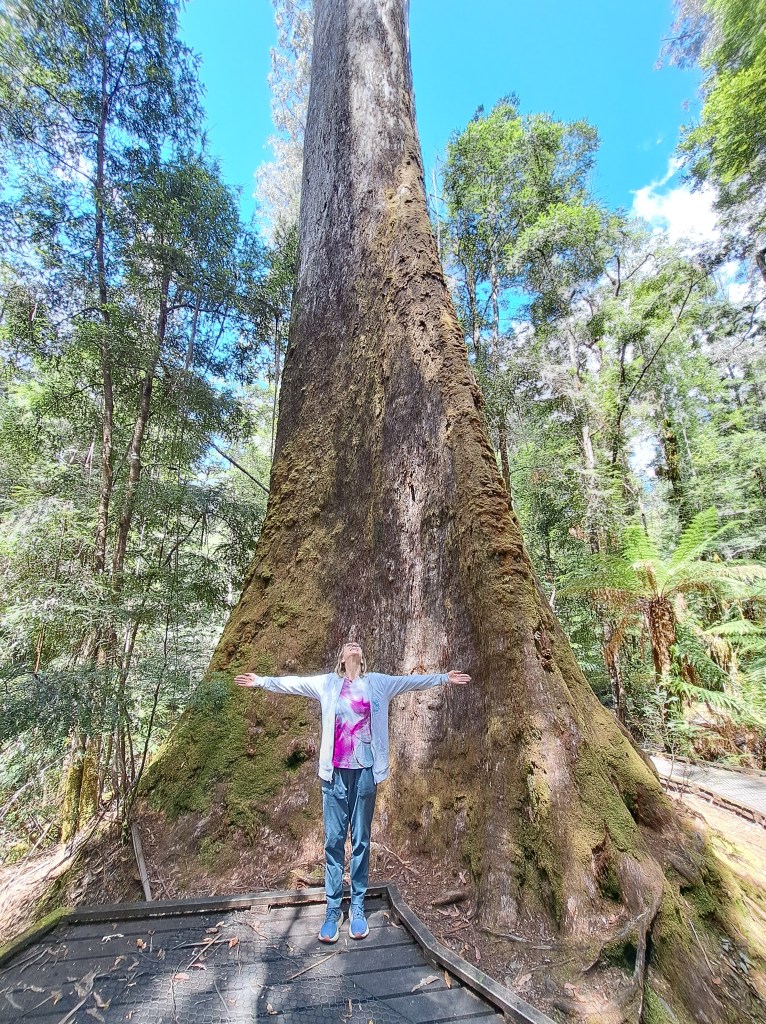
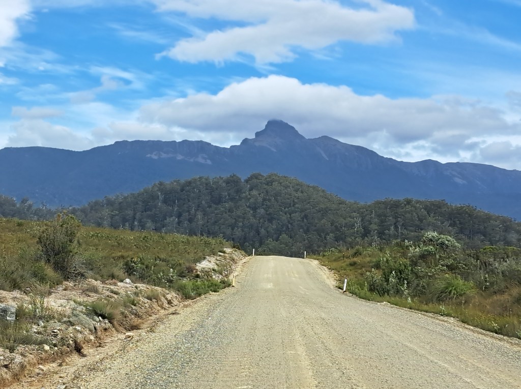
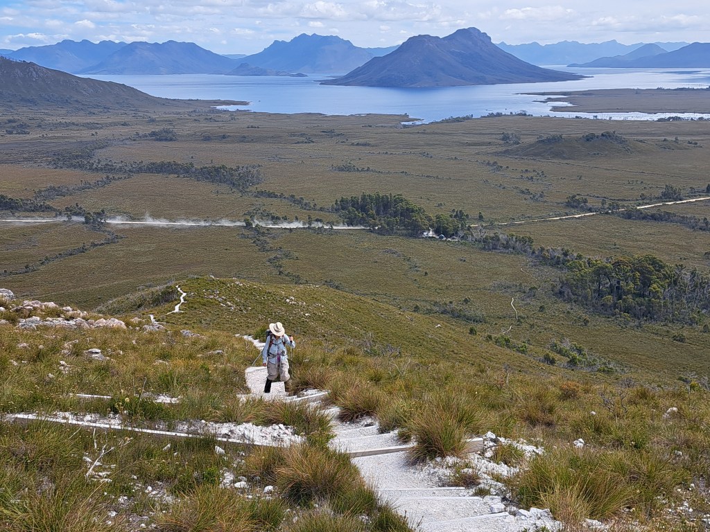
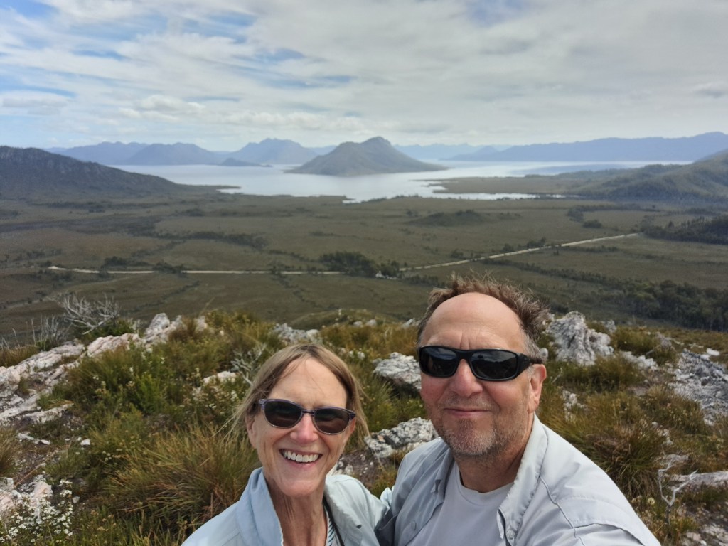
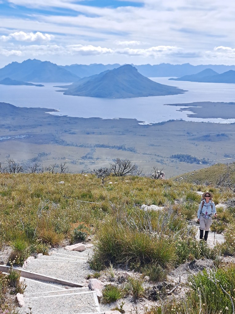
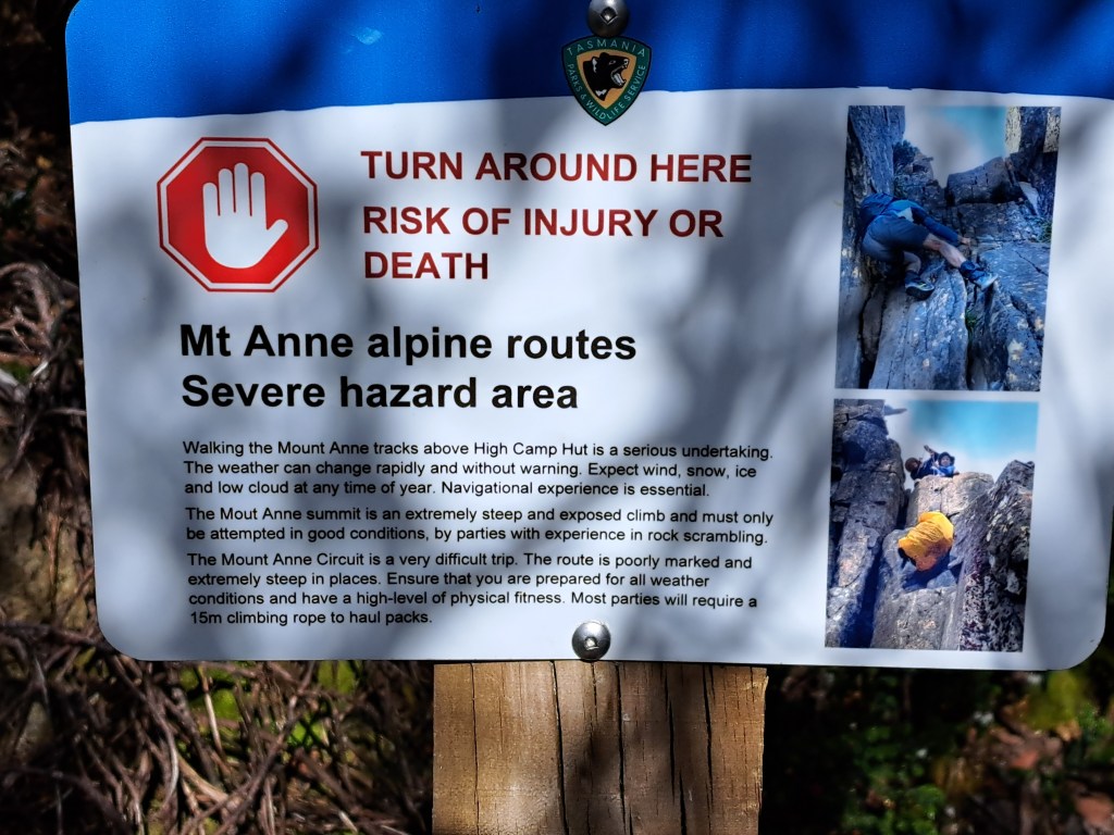
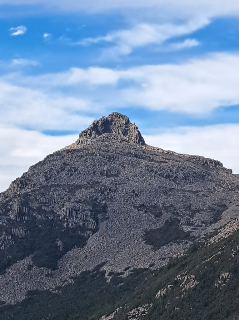
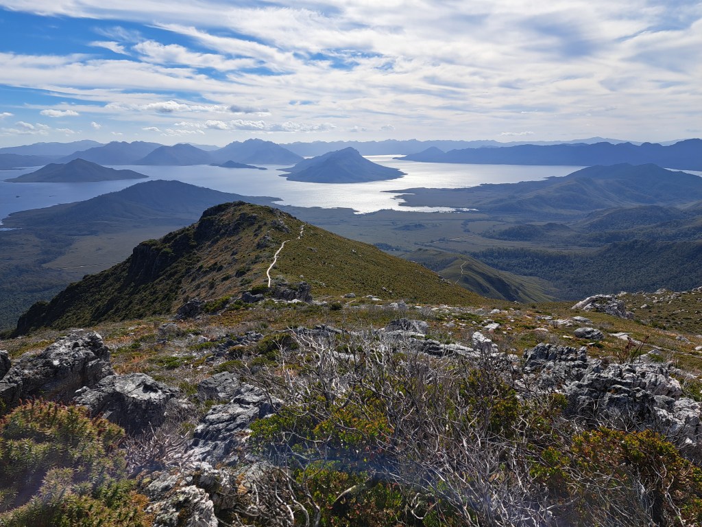
We camped among the big trees and took.a steep hike up towards Mt. Anne the next day. The climb was steep and hard, but the views made it worthwhile.
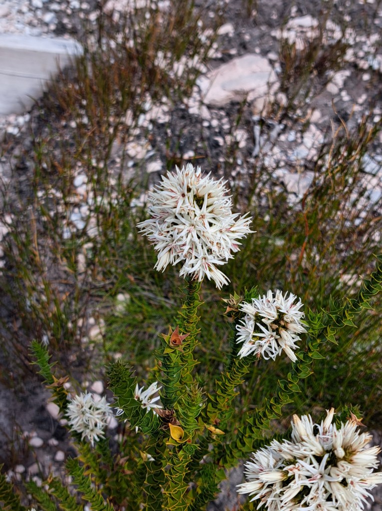
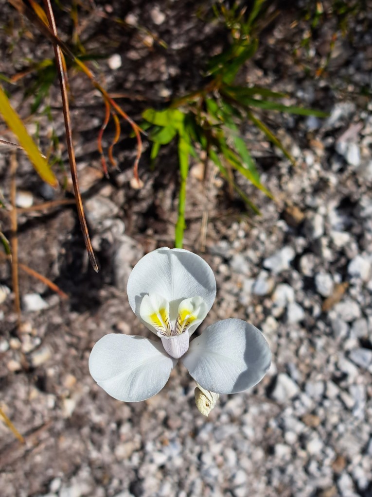
We were also treated to different flowering plants the higher we climbed…
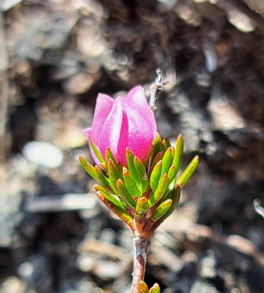
Up and up we climbed…
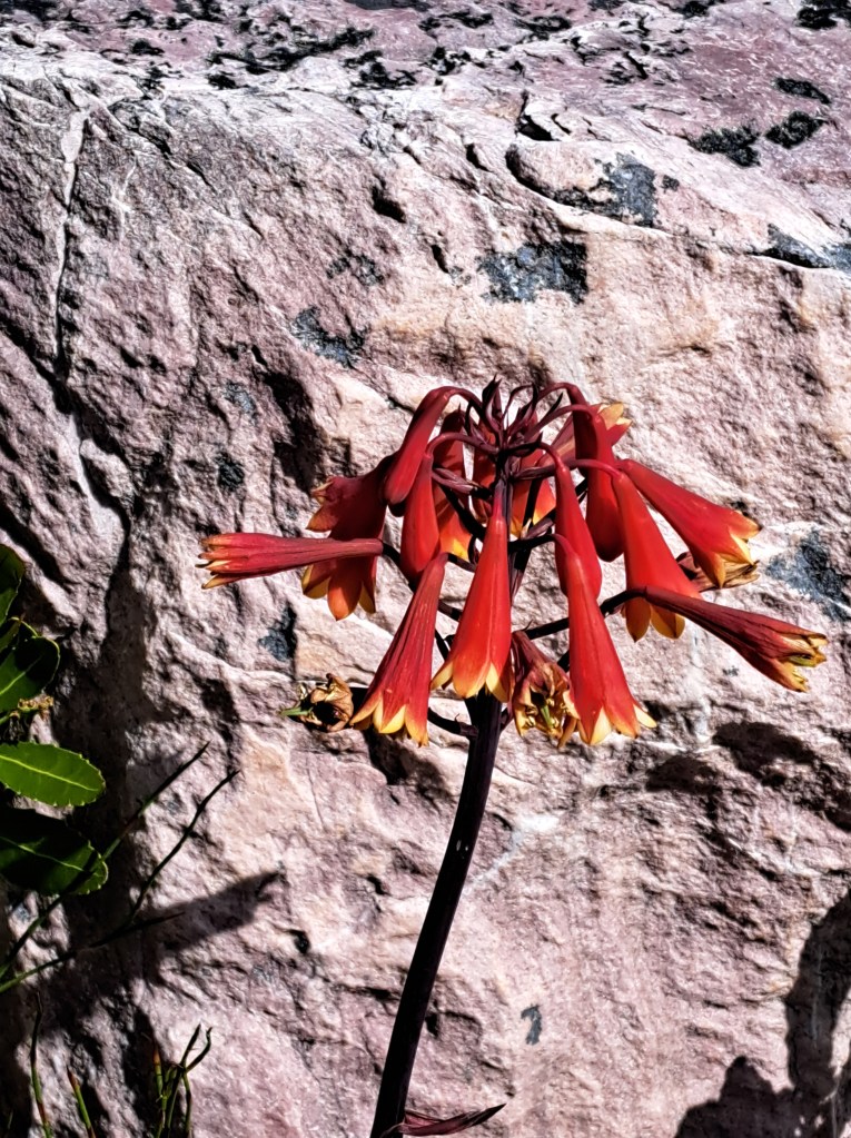
And new plants appeared.
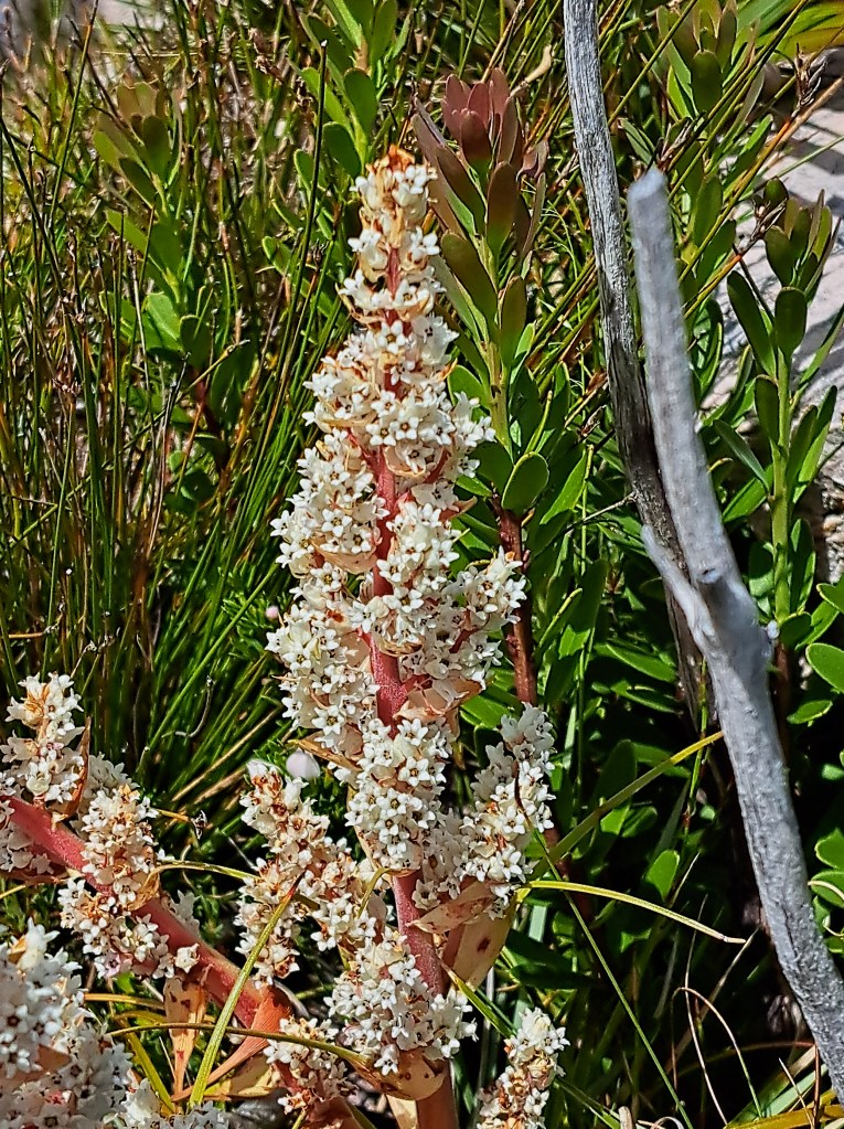
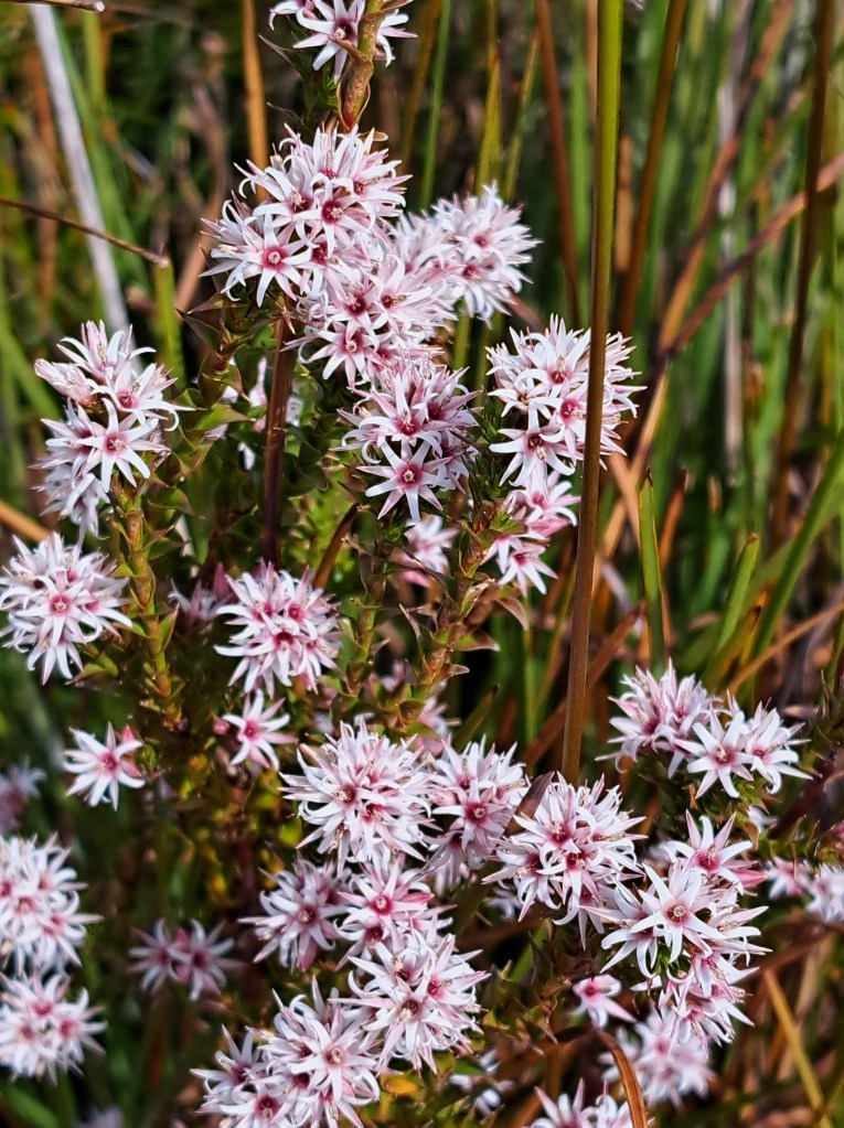
We finally reached the base of the hardest part of the climb and decided that we were too tired and hot to continue….
We headed down the long climb in reverse…
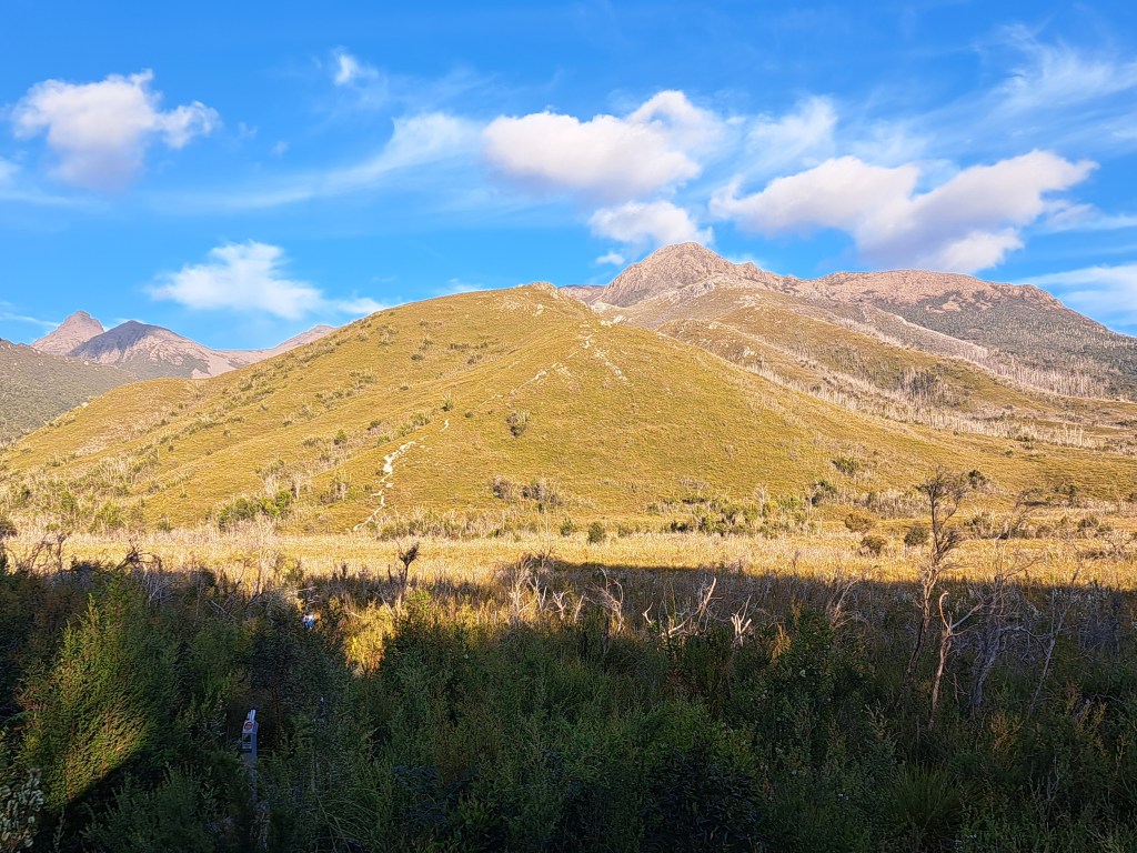
We did not allow enough time to explore this region, and expect to return next year!
We traveled from Lake St. Clair to Mount Field National Park where we spent a night before heading to Lake Pedder at the end of the road. Our goal was to spend a few days exploring this remote part of Tassie.
We took a few forest walks along the way, past large trees standing and fallen.
We camped among the big trees and took.a steep hike up towards Mt. Anne the next day. The climb was steep and hard, but the views made it worthwhile.
We were also treated to different flowering plants the higher we climbed…
Up and up we climbed…
And new plants appeared.
We finally reached the base of the hardest part of the climb and decided that we were too tired and hot to continue….
We headed down the long climb in reverse…
We did not allow enough time to explore this region, and expect to return next year!
Tasmania Part 8 – Southwest to Bruny Island
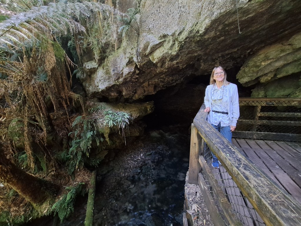
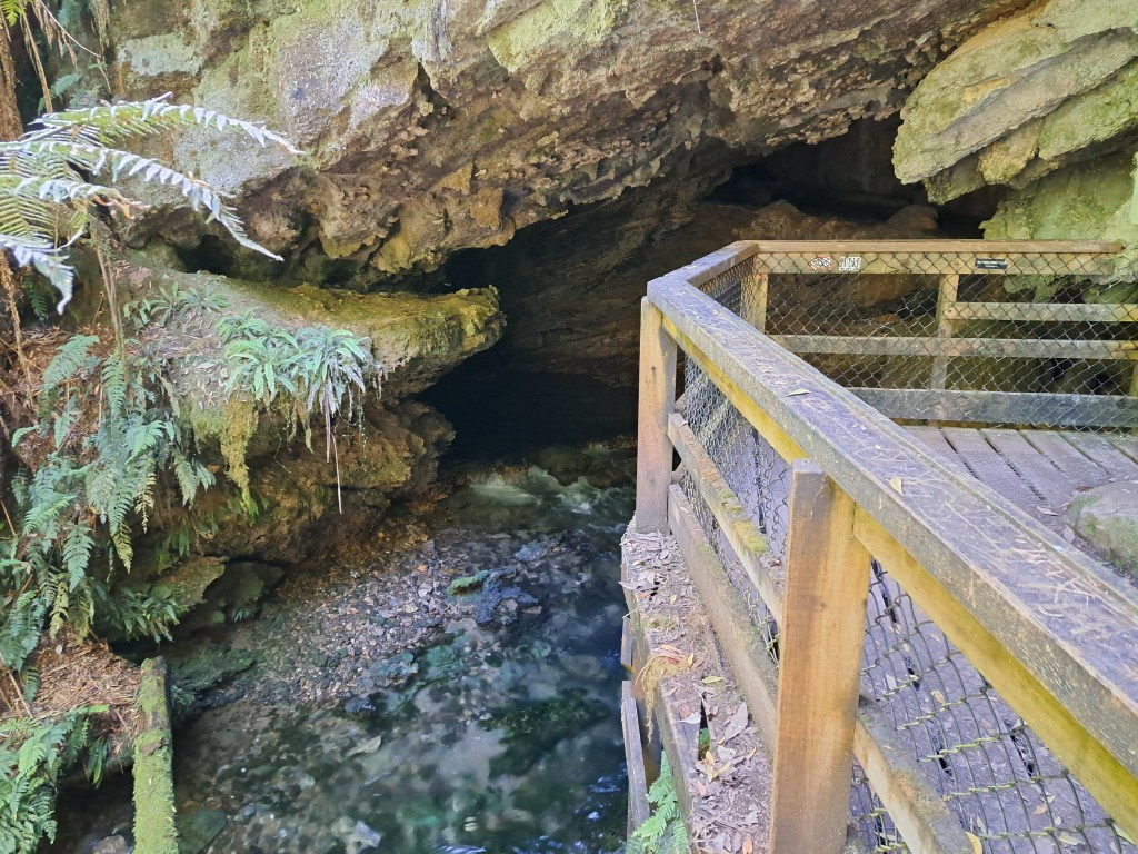
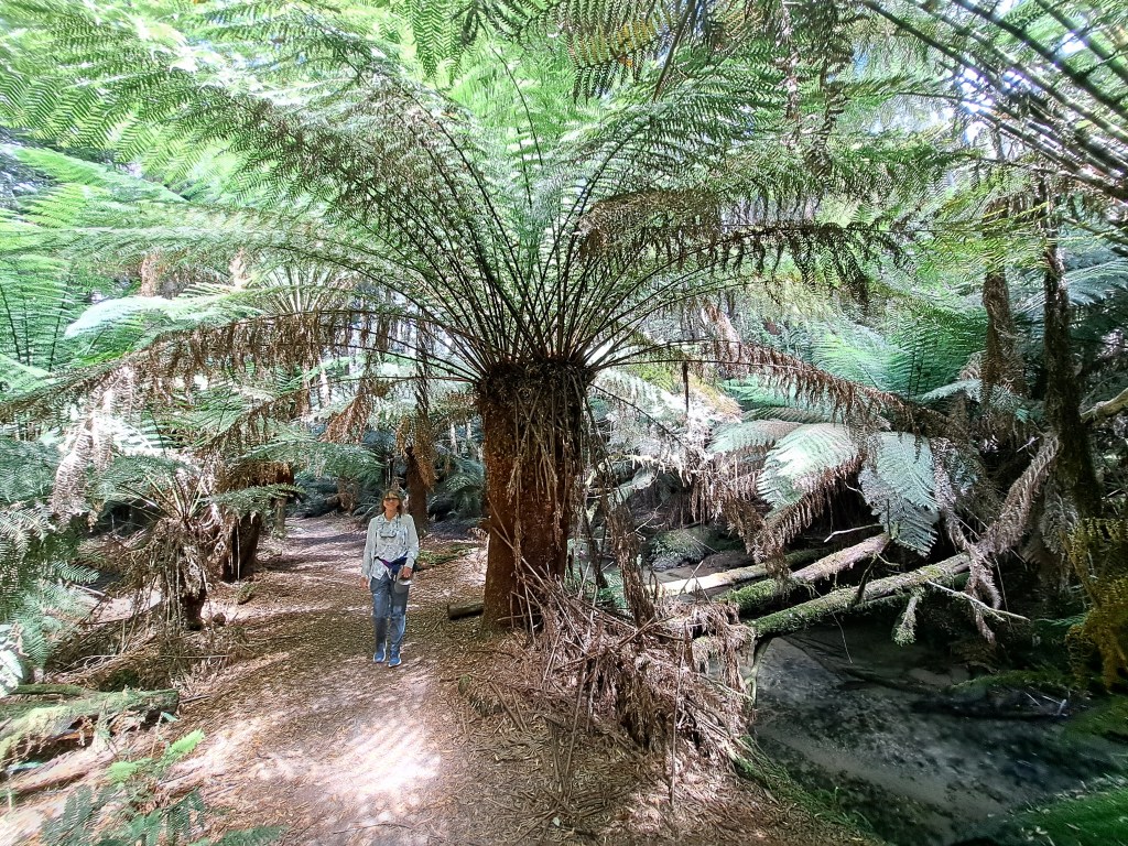
We spent another night in Mt. Field on our way to Bruny Island as it was a convenient stopover that allowed time to walk in the forest to some interesting sites. One of these was Junee Cave, a limestone cave with a river pouring from it!
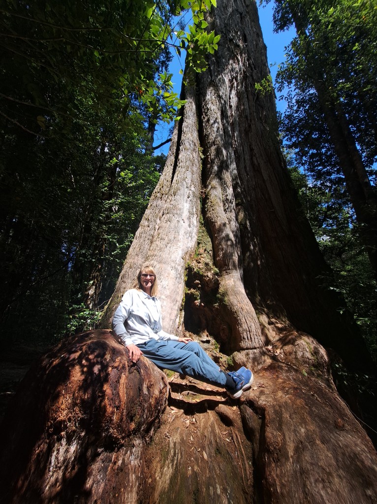
We also detoured to see large.old growth trees near the Styx River.
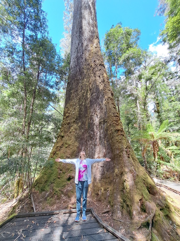
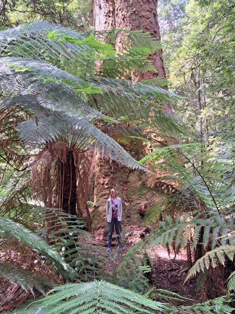
The short loop trail was through the Tolkien Grove, where all the big trees are named after places in his novels.
After a resupply of groceries and fuel in Hobart we were on our way to catch a ferry…
Tasmania Part 9 – Bruny Island
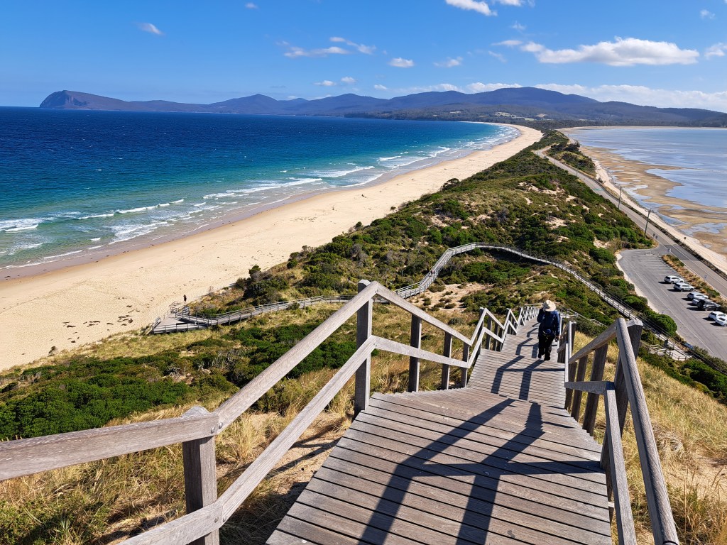
Bruny Island is a short drive south of Hobart and includes South Bruny Island National Park. Divided into north and south and connected by the neck, a narrow stretch of land connecting the two (above phooto).
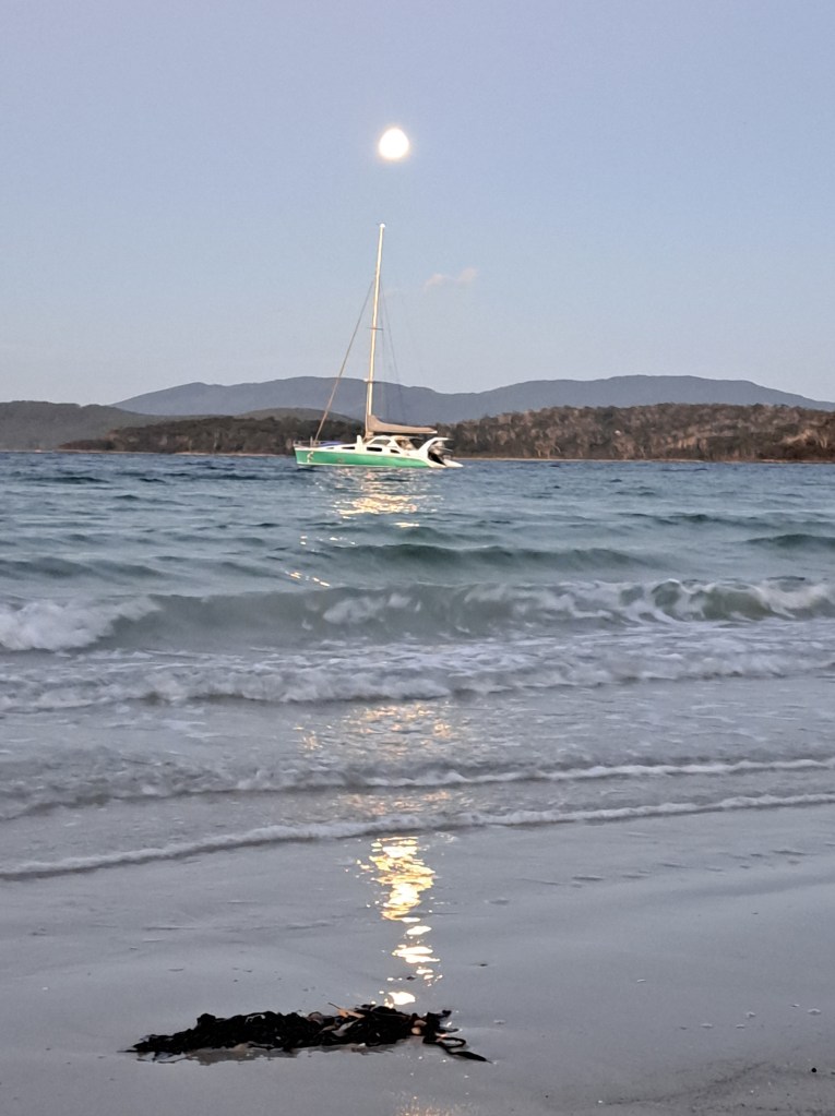
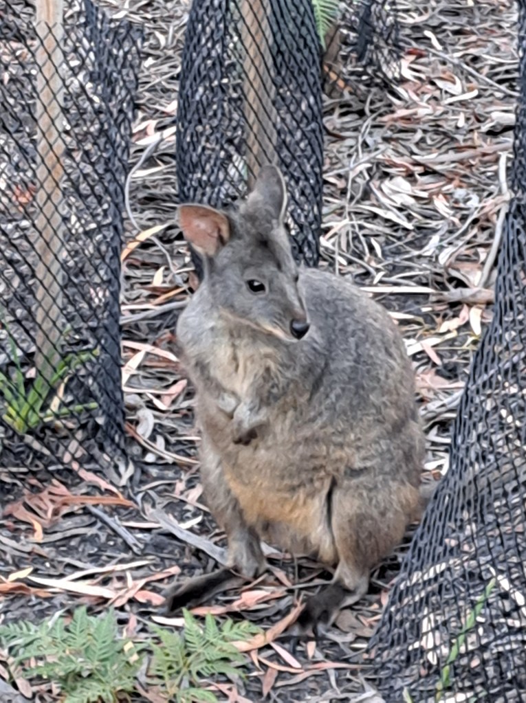
We spent two nights at South Jetty Beach campground where we watched the full moon rise over the water and padmelons hop about.
Our first full day on the island was windy, cold, and rain squalls occasionally swept across. We slept in late, then drove up to the nearby Cape Bruny lighthouse. Built in 1836, the 114m tall lighthouse was only the 4th in Australia. The fifteen lamps of the original 1838 Wilkins lantern each burned 600mls of expensive sperm whale oil per hour and needed frequent refilling. The lamps were extremely fragile, being replaced every three nights in 1839.
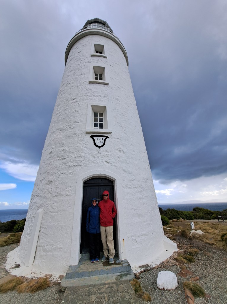
We spent time in the car admiring the view in comfort and taking care of some business as we had service in the parking lot. We took advantage of a break in the squalls to run up to the lighthouse.
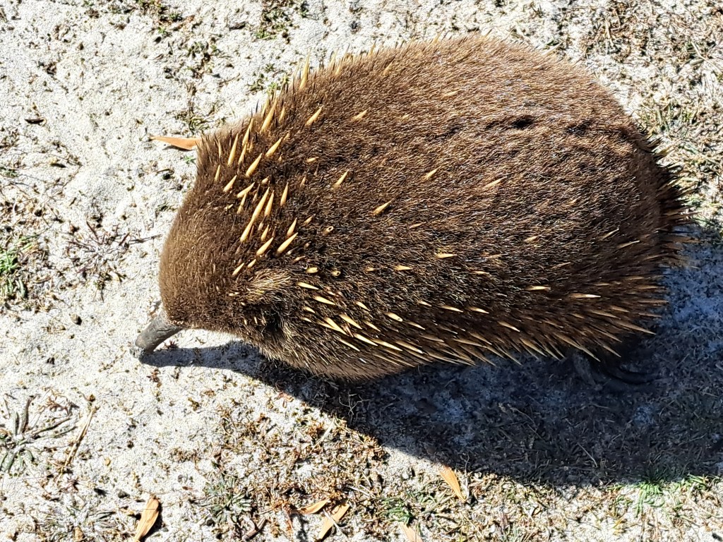
We drove the next day to Adventure Bay, where I had spent a few nights 35 years ago. We took a hike up Fluted Cape. Along the way we saw a young echidna feeding on ants. We watched for a good half hour as it was just feet away and ignoring us completely.
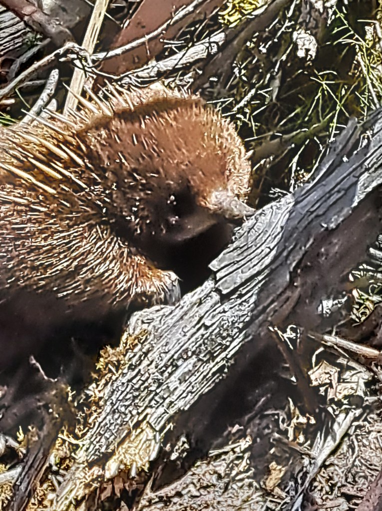
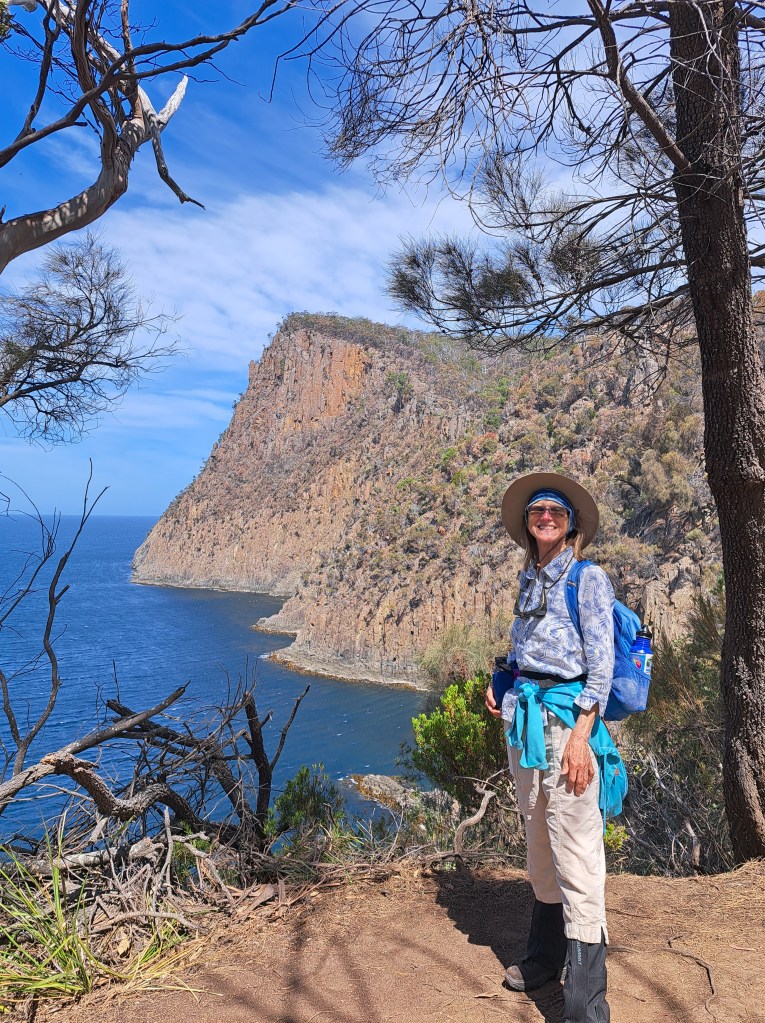
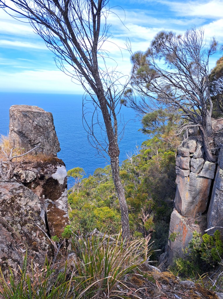
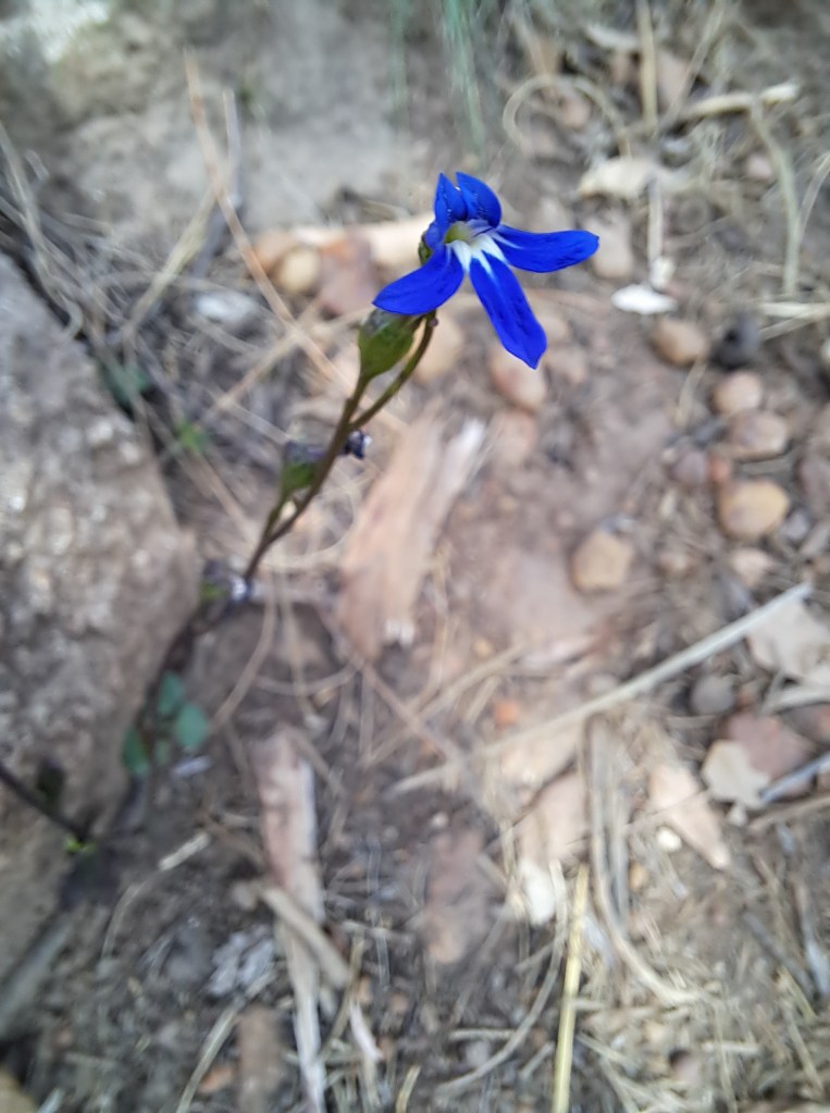
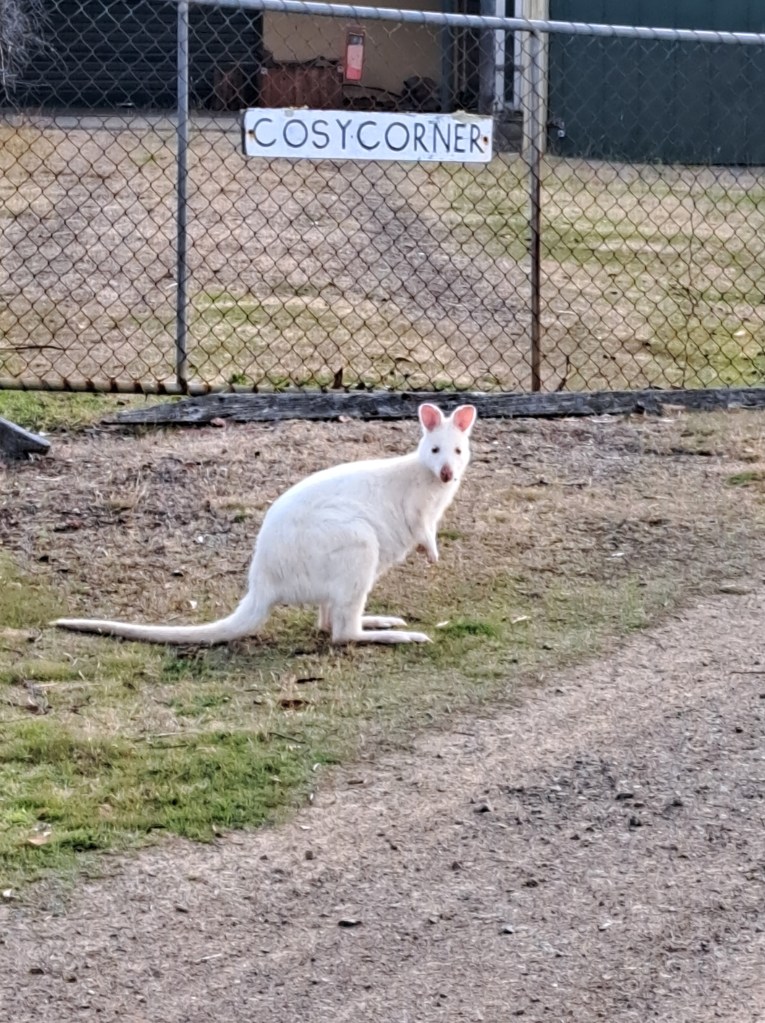
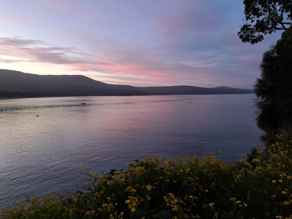
Our last evening we took a short drive to look for white wallabies, which are only found near Adventure Bay. We were in luck and watched them eat. One last sunset and we bid goodbye to Bruny…
Tasmania Part 10 – Port Arthur
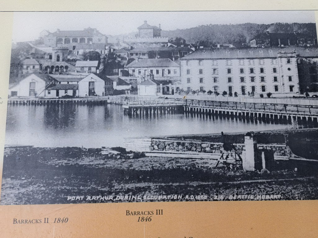
The Port Arthur penal settlement began life as a small timber station in 1830 but became a penal colony by 1833. Convicts sent to Port Arthur had escaped before or had committed new crimes. Located on a peninsula, its natural defenses (shark-infested waters, rugged terrain) were augmented by the famous “Dog Line” of dogs on a narrow isthmus, making escape nearly impossible.
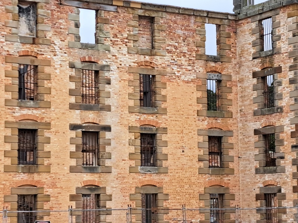
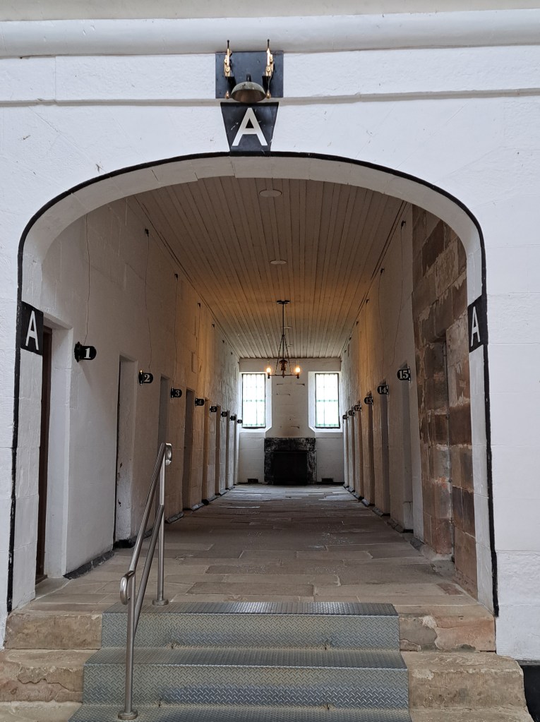
While notorious, it moved beyond simple flogging, favoring solitary confinement and psychological torment in the Separate Prison, where prisoners spent 23 hours a day in silence and isolation.
Convicts built extensive infrastructure, including a penitentiary (originally a flour mill), a hospital, a church, and shipyards, producing goods for the colonies.
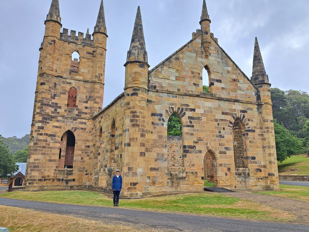
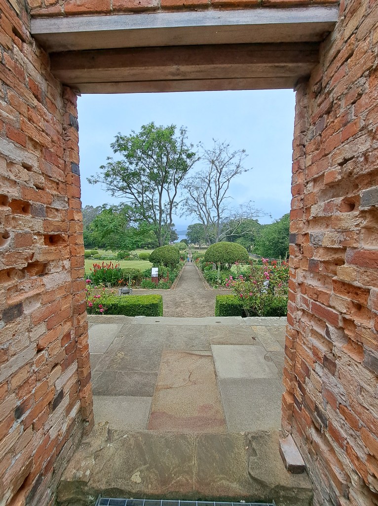
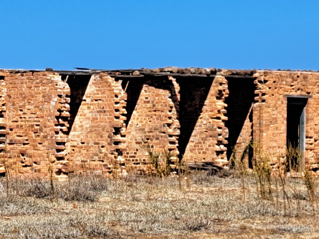
The penal colony operated until 1877, some 47 years and housed over 30,000 convicts. A fire in 1895 destroyed most of the structures. Bricks and other materials were looted afterwards.
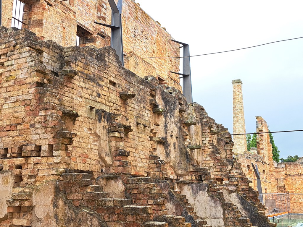
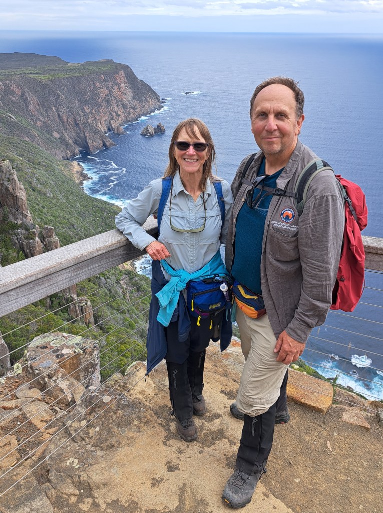
We also took a walk out to nearby Cape Raoul.
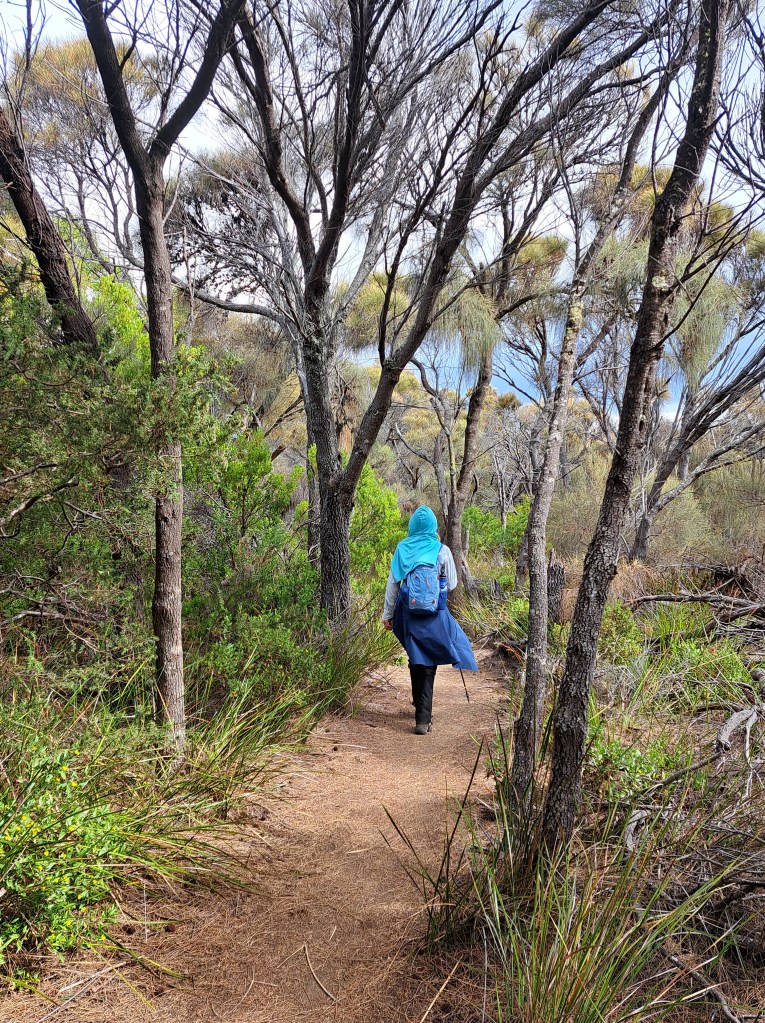
Our tramp led us over a small mountain and through varied plant life depending on moisture, soil types, underlying rock type, and wind.
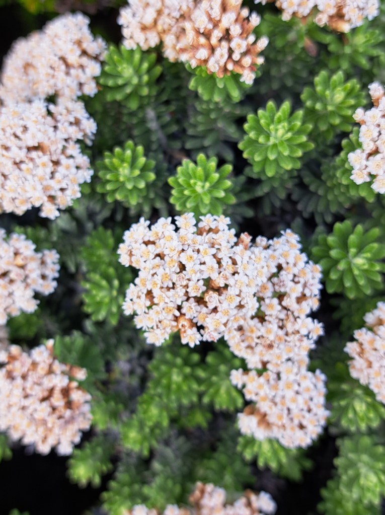
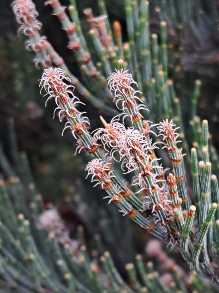
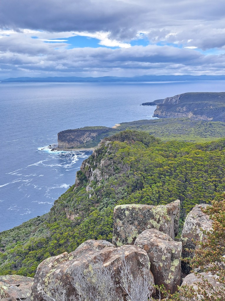
The views were stunning along the way.
The capes in this area arr made up of molten rock that erupted during the breakup of the Australian and Antarctic continents. As it cooled it formed jointed columns that now make up sea cliffs up to 1,000 feet high.
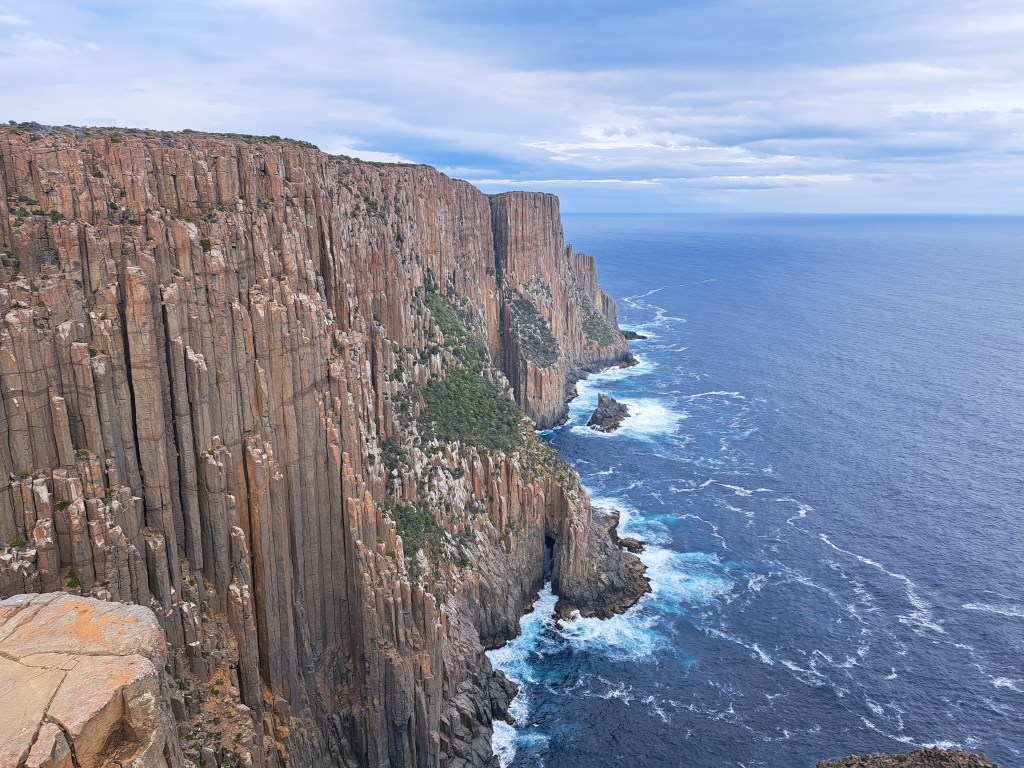
We would see more of these on a four day trek along the Three Capes walk….
Tasmania Part 11 – Three Capes Trek
We haven’t carried a backpack for more.than overnight in more than a decade. Carrying everything you will need for a multiple day trek requires some conditioning and practice. We wanted to do this sort of trip again but also ease back into it. The three capes experience seemed like the perfect opportunity. There are huts to.sleep in with cooking facilities so there is no need to carry a tent, sleeping pad, or stove. And the distance ea c h day seemed like we could do it.
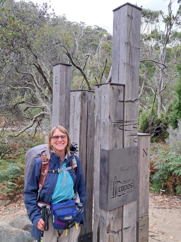
The trek is located on the Tasman Peninsula and follows the coastline around from Denmans Cove to Fortescue Bay.
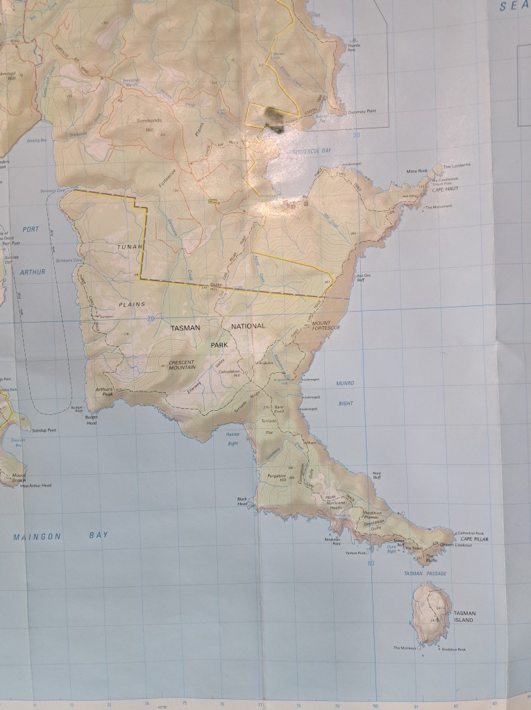
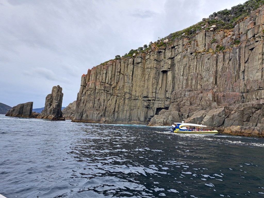
It began with a boat tour from Port Arthur out to Cape Raoul, sea caves, and then to the trailhead.
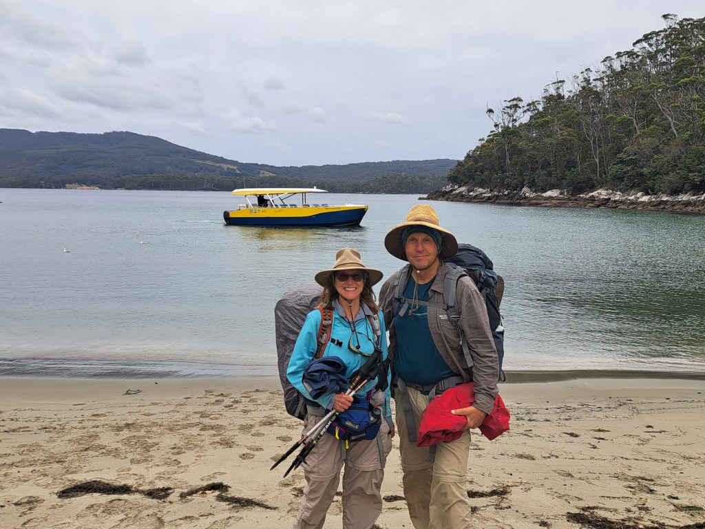
We landed at Denmans Cove, the official start of the track. We began our walk along the coastline gradually gaining altitude.
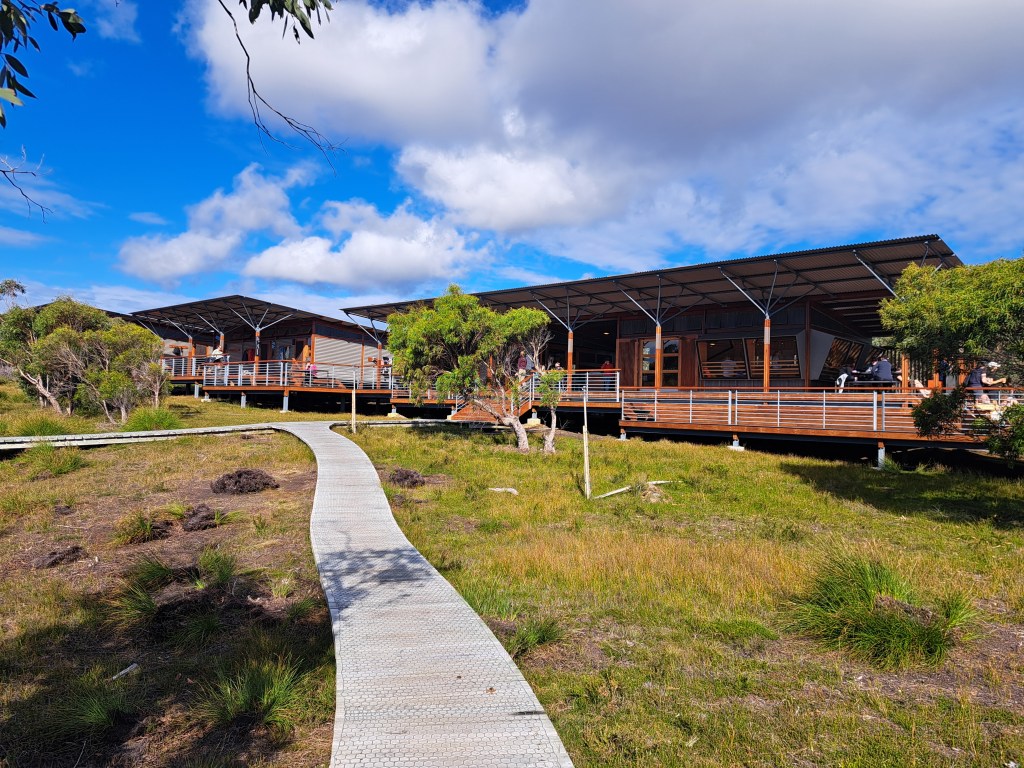
After two miles we reached our first camp for the night at Surveyors Hut. We met other walkers and enjoyed a relaxing dinner as we thought about the next three days ahead.
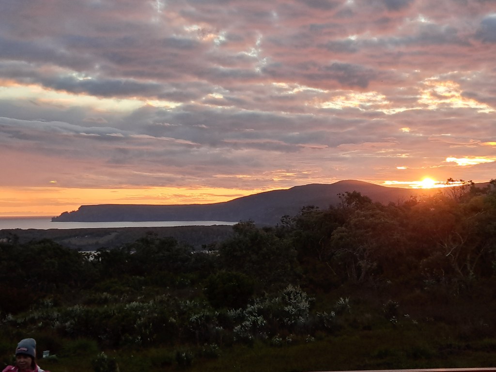
The next morning after breakfast we packed our packs and began our walk to the Munro Hut. Our route took us along the high coastline towards the south.
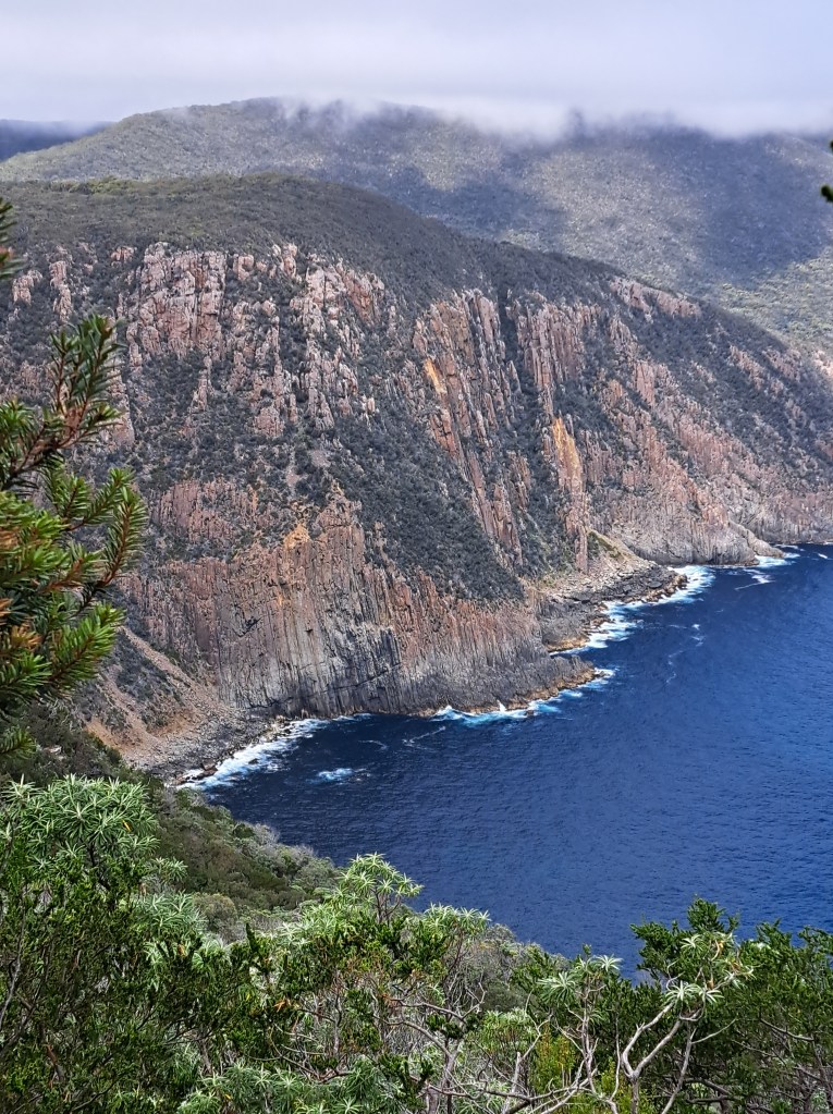
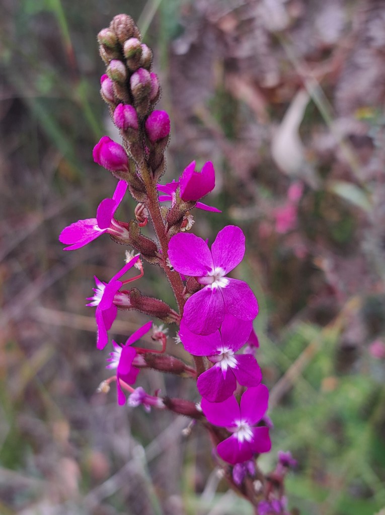
We then cut inland for a bit before turning off to the south to our camp for the night at the Munro hut.
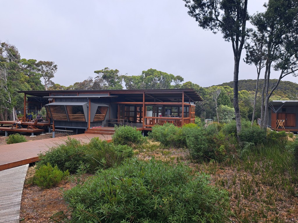
The view to the west from the deck of the hut had a view of our last days walk.
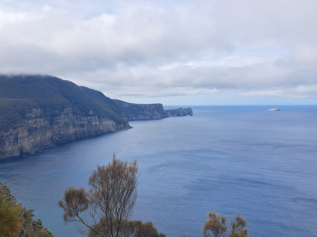
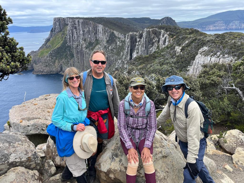
The second morning we ate and began our out and back trek to Cape Pillar. The trail led up.and down and often out to the edge of the cliffs that towered as much as 1000 feet above the crashing waves.
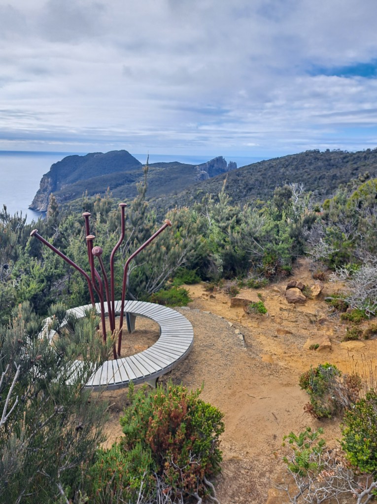
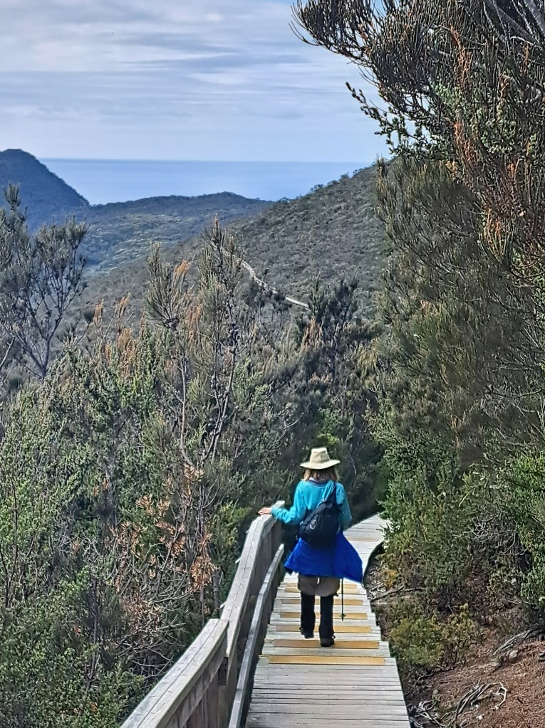
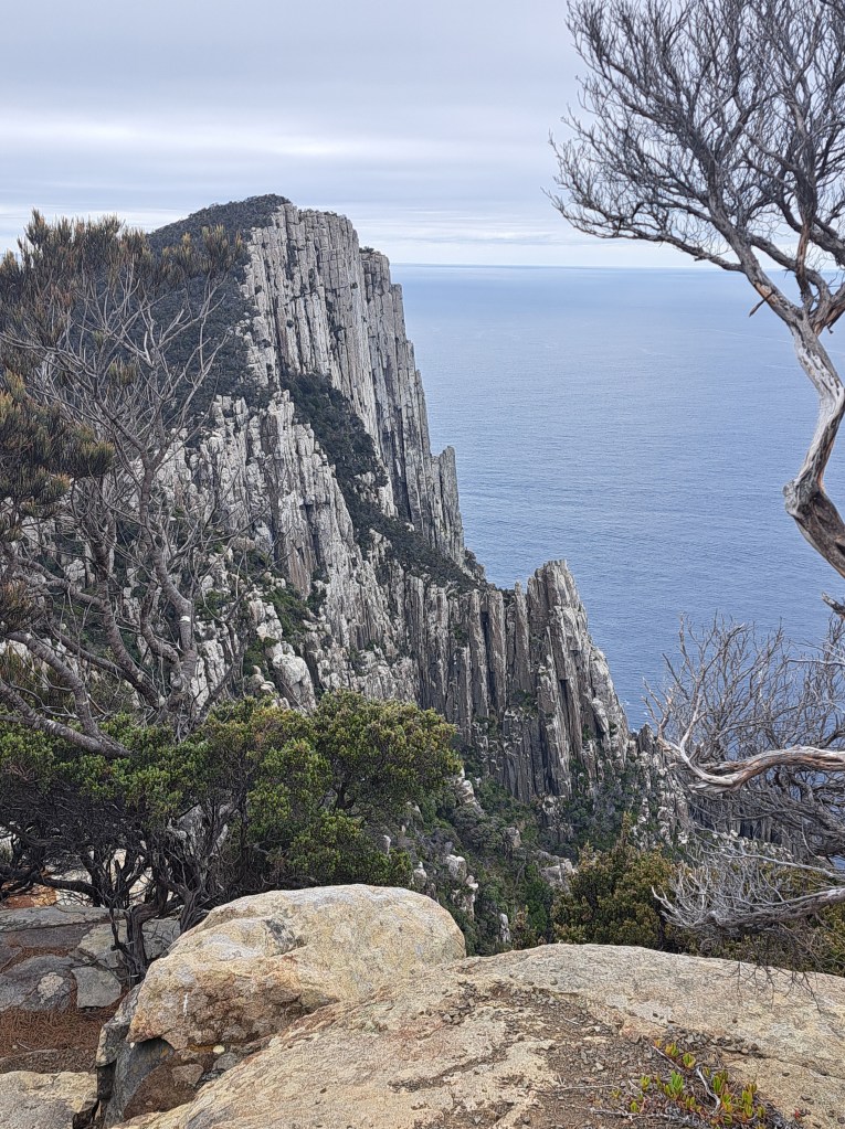
We decided to stop at the blade, a sliver of rock that juts out above the ocean.
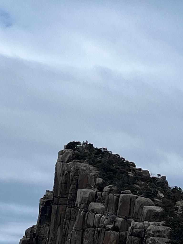
Even though the cape was a bit further, we knew we would have to backtrack all the way to the hut and then carry our packs another hour to the next and final hut.
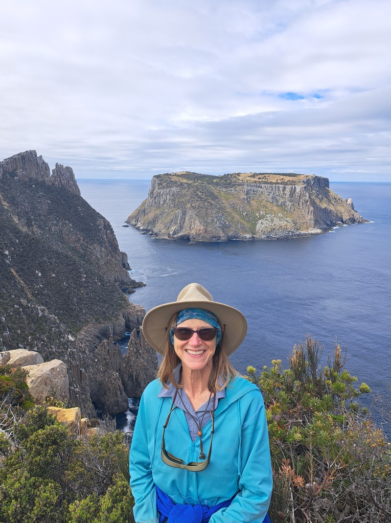
We had a great view of Tasman Island. Due to the remote location and difficult access, during the early years the lighthouse keeper had all their teeth removed so that they wouldn’t have issues with cavities and infections.
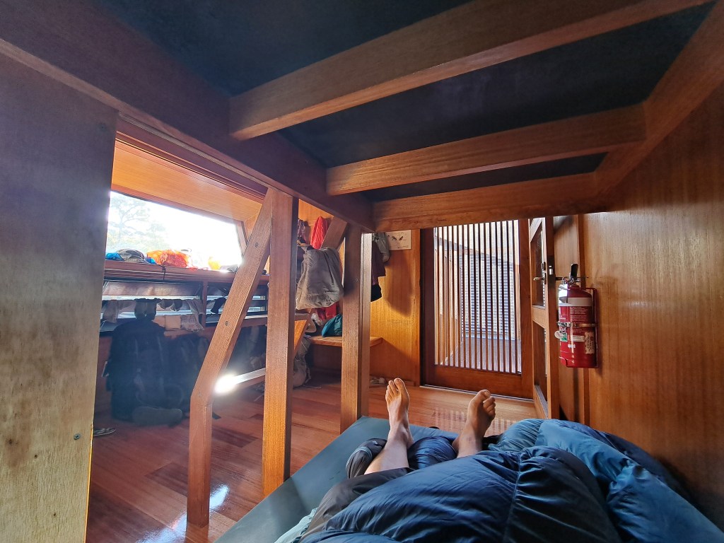
We walked back to the Munro Hut and picked up our packs for an hour walk to the Retakunna hut. This was our last night with the group we had walked the track with.
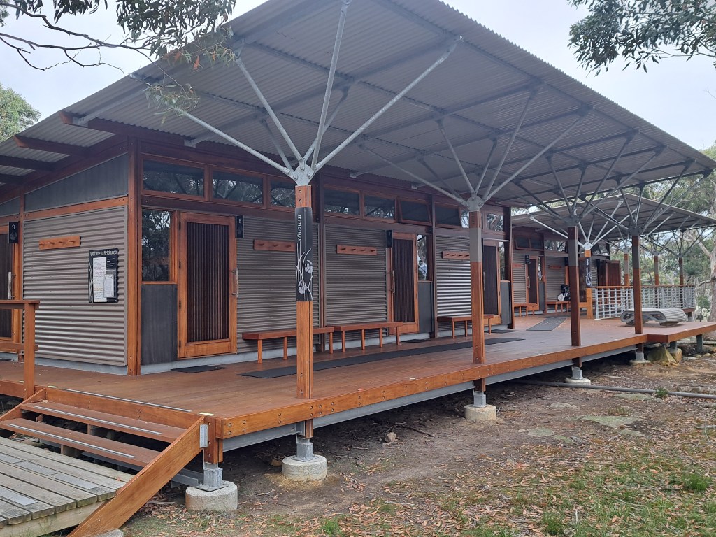
After dinner and talking with new friends we went to bed.
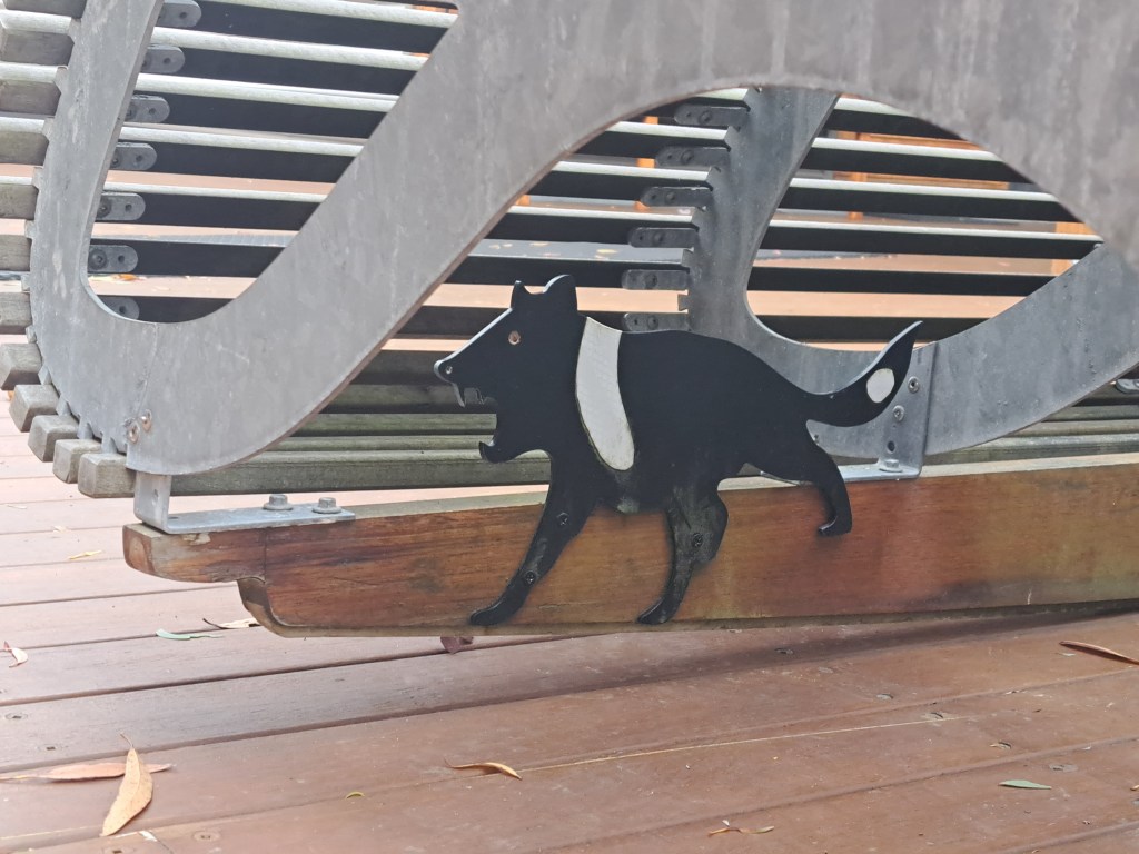
The track builders did an amazing job and also left little surprise easter eggs along the way. These included creative benches and a Tasmanian devil under a rocking bench.
I n the morning we began our final walk to Fortescue Bay via Cape Hauy.
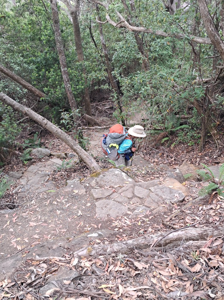
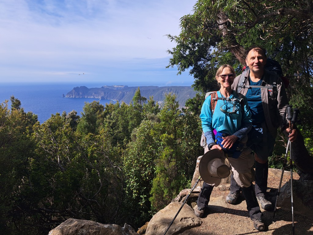
We enjoyed views looking back along the clifftop route we walked the previous day.
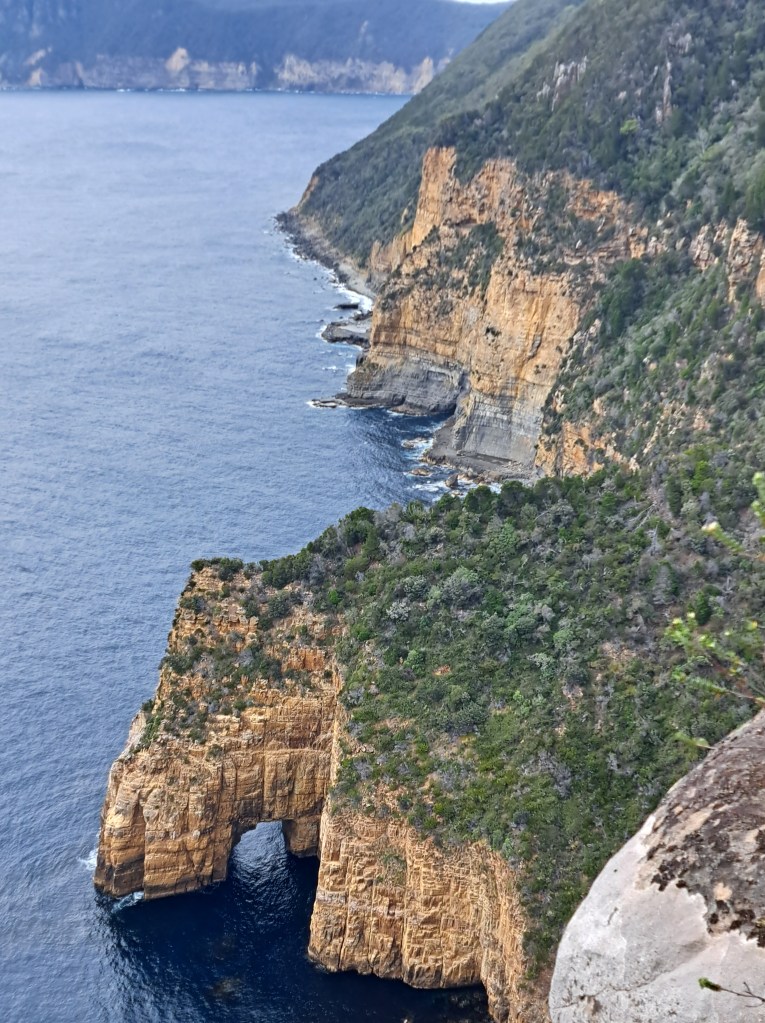
We finally came to the end where a bus took us back to our car at Port Arthur.
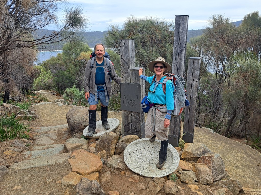
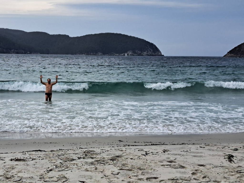
But not before a quick swim in the ocean.
Tasmania Part 12 – Hobart, Freycinet, Maria Island, and Northeast
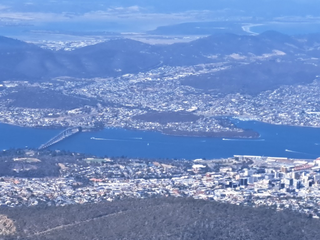
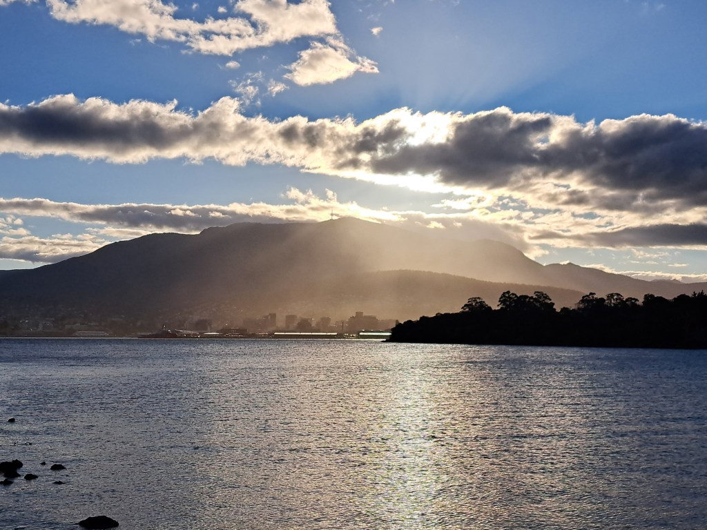
The largest metro area in Tasmania is overlooked by Mount Wellington / Kunanyi, which towers 4,000 feet above the city. Abundant waterfront along the Derwent River and a mild climate make Hobart an ideal spot for the state’s capital.
Hobart was founded in 1804 as a British penal colony and there is some pretty dark history there. The female factory housed women convicts from all parts of the British Empire, which was just about everywhere.
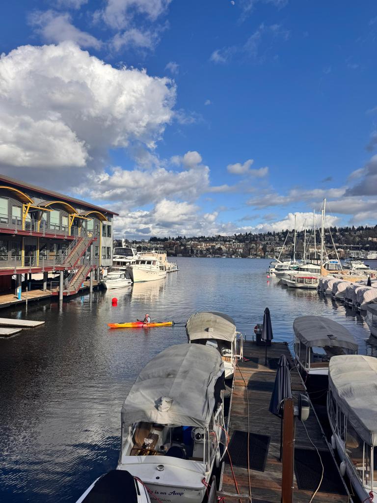
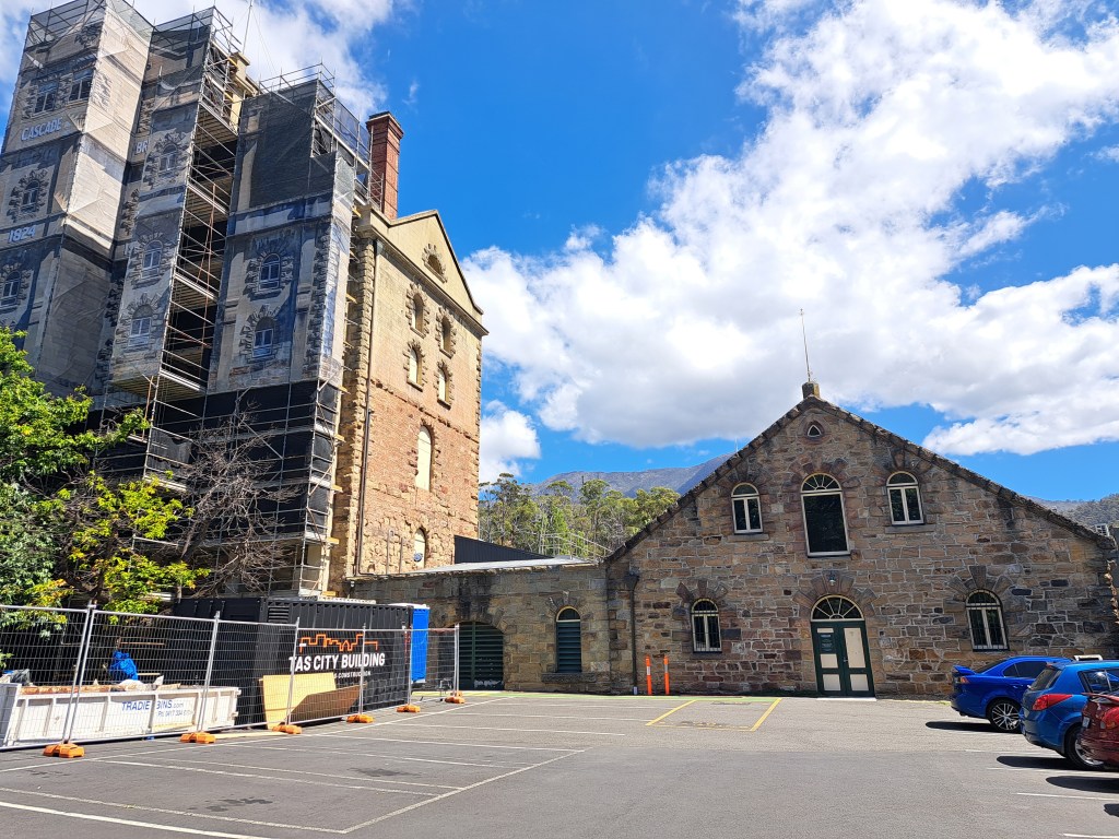
It is also home to the oldest continously operating brewery in Australia. The Cascades Brewery first opened in 1824 and still.makes.my favorite stout.
We only spent a couple days recovering from.our three capes walk before heading off to
Freycinet National Park
We had been to this park last year and decided a little coastal time was needed before planning our next.move. We had a great view of the Hazards from.the beach near our campsite.
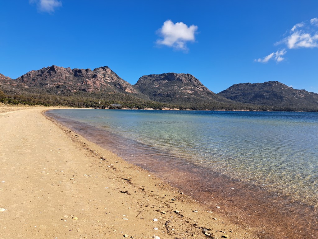
We took a hike to Hazards Beach on a warm windy day. We were here last year and did Wineglass Bay, so this year we gave that a miss.
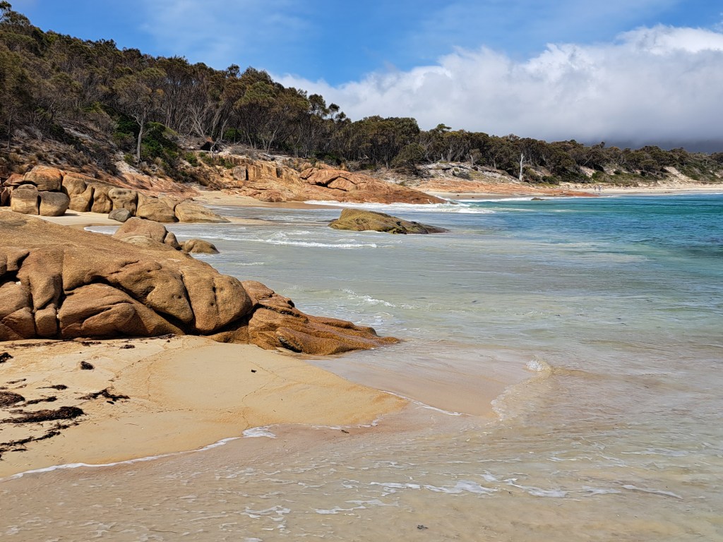
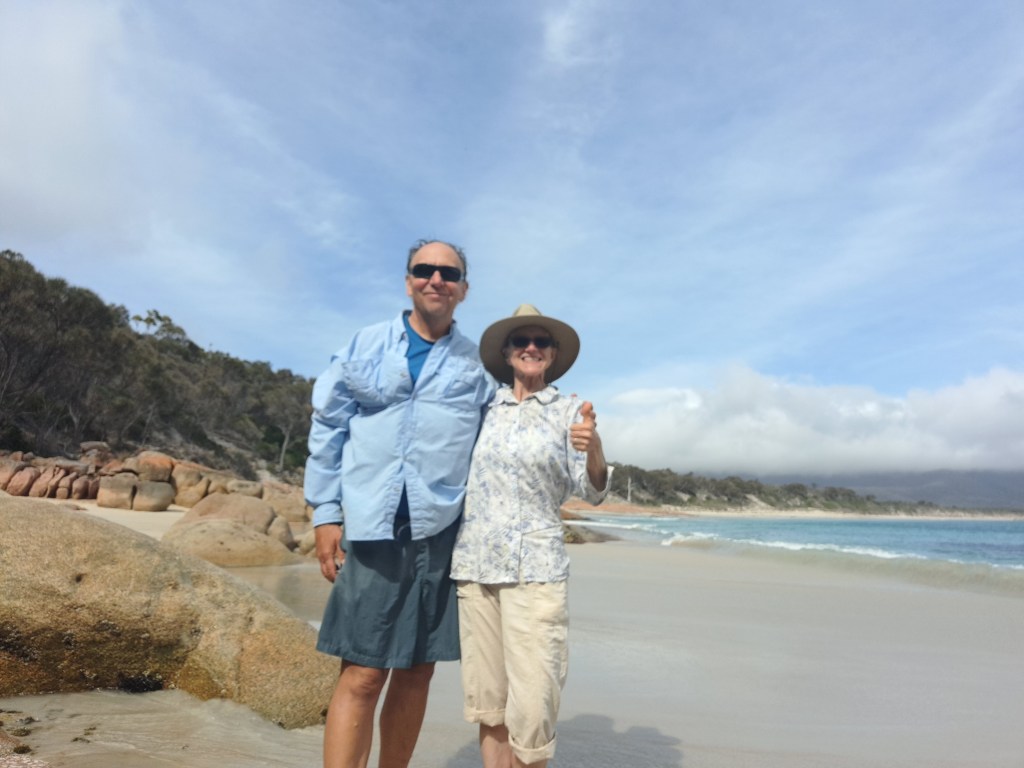
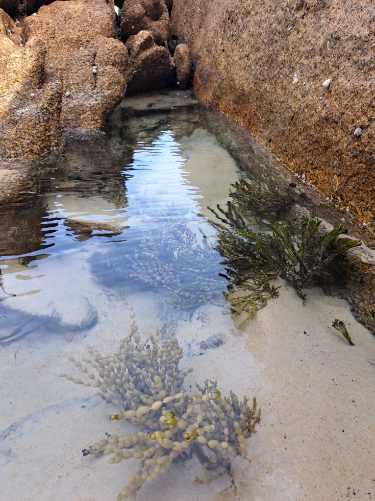
From Freycinet we drove south to catch a boat to
Maria Island
Sealers and whalers used the island in the early 1800s. By 1825 it became a penal colony, but only lasted about 7 years. In 1842 it was reopened as a convict probation station which was abandoned in 1850. A cement works was established in 1884 which operated up to the 1930s.
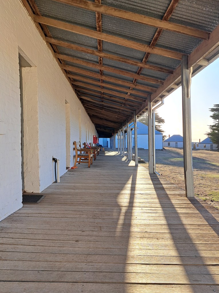
Today the island hosts ruins and wildlife as well.as some dramatic landscapes. Wombats were everywhere and we even saw a Tasmanian devil!
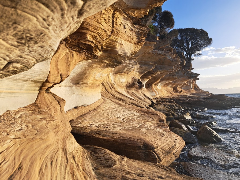
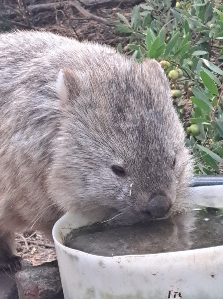
We camped for two nights so we could explore for a full day.
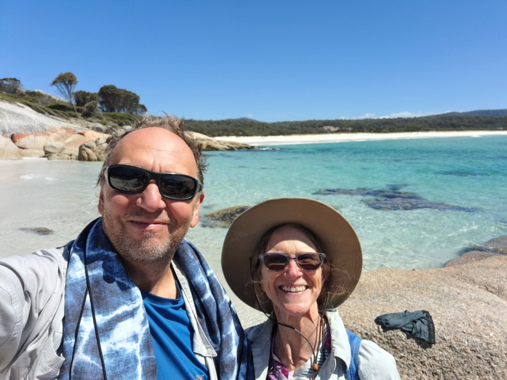
Bay of Fires
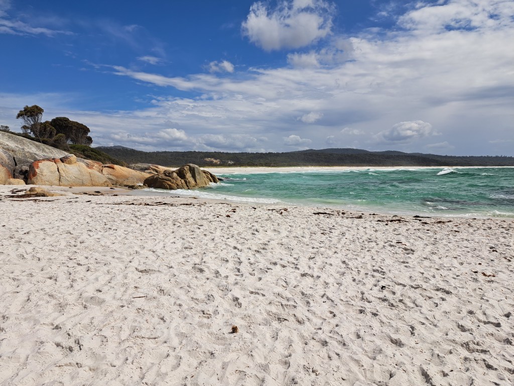
We drove northeast to a beautiful coastal area with lots of places to camp. While the water was beautiful and inviting, it was a bit cold and the wind didn’t help.
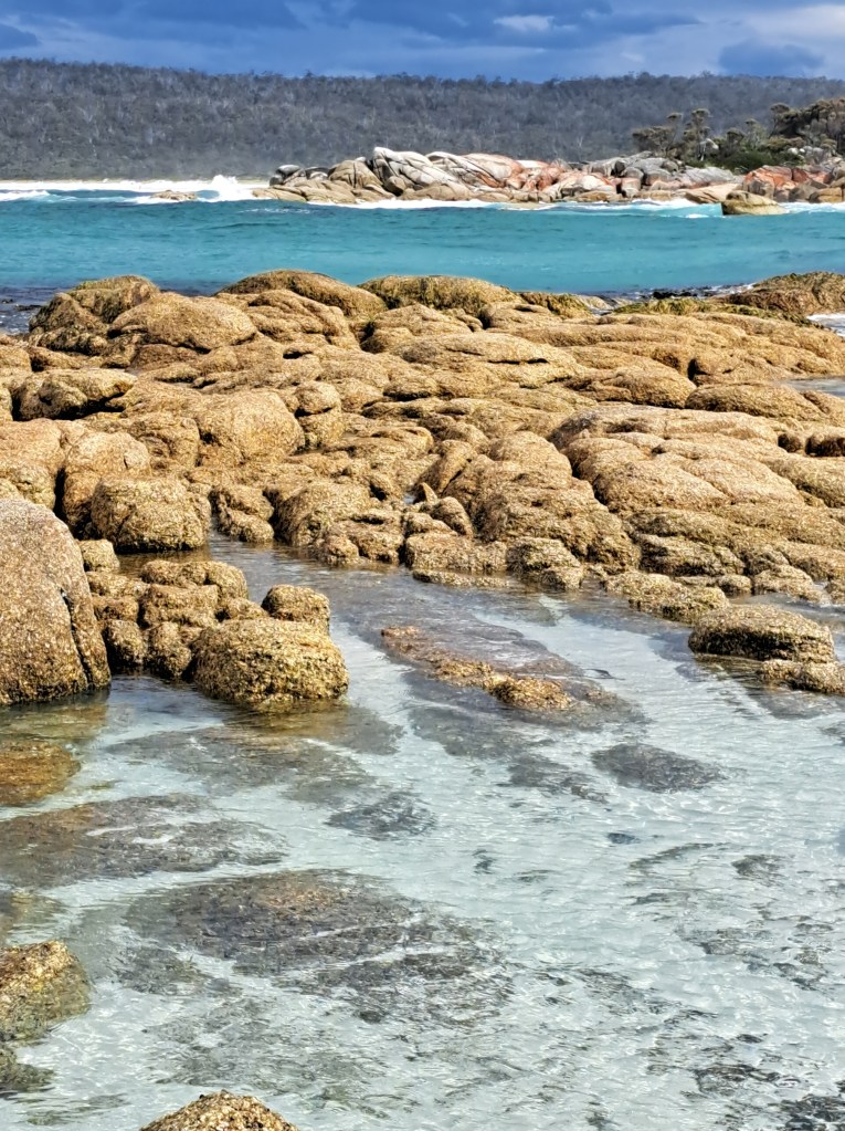
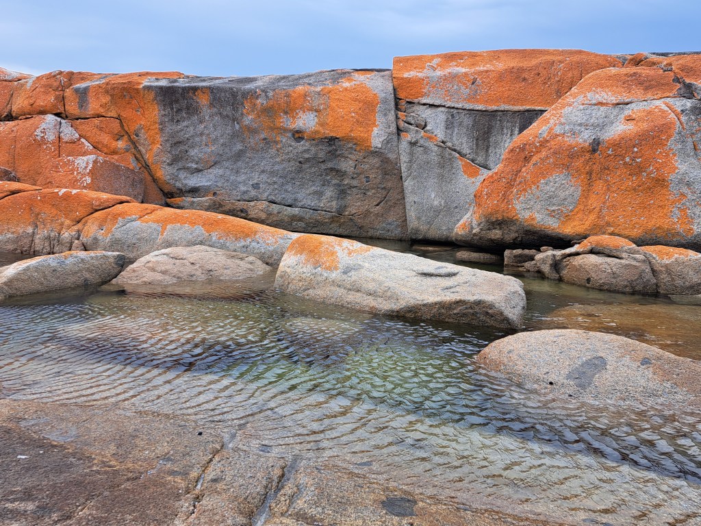
The area was named by sailors passing by Who observed the many fires set by aboriginal people managing the landscape. Today orange lichen on rocks are the only “fire.”
Back to Devonport
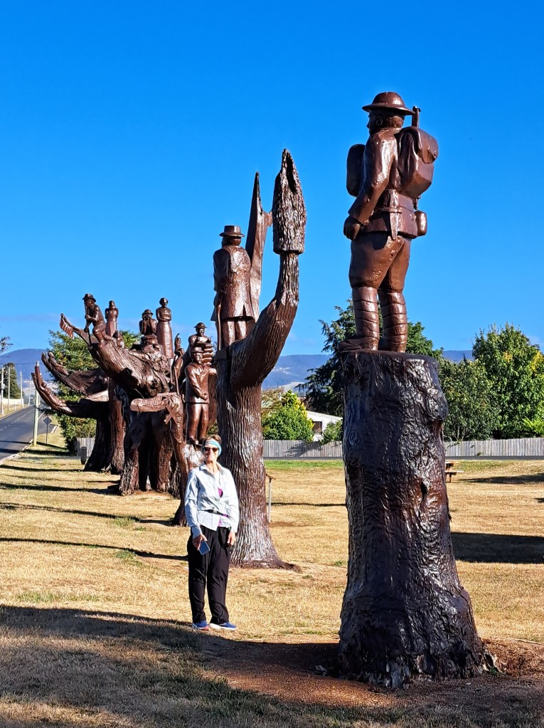
Our final.days were spent driving back to devonport. Landmarks along the way included memorial trees, carved to honor the war dead (WWI).
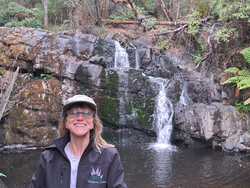
Waterfall near Lilydale.
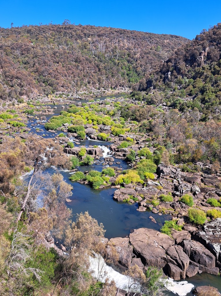
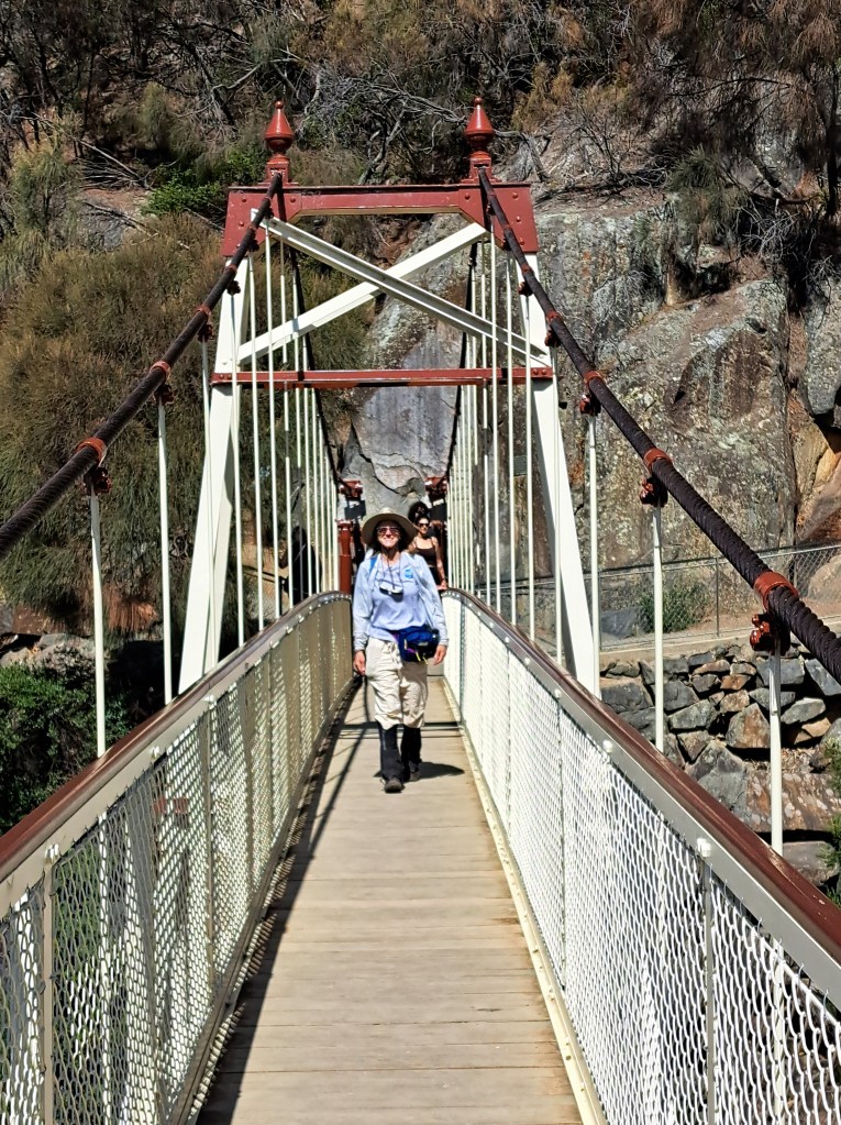
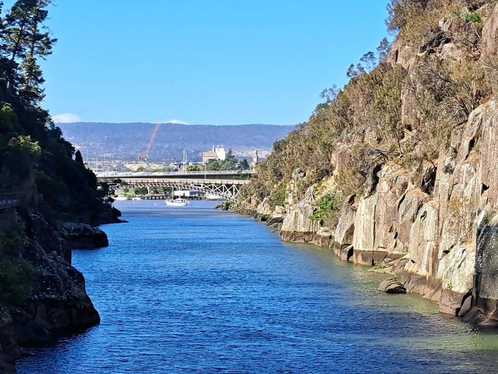
Cataract gorge in Launceston.
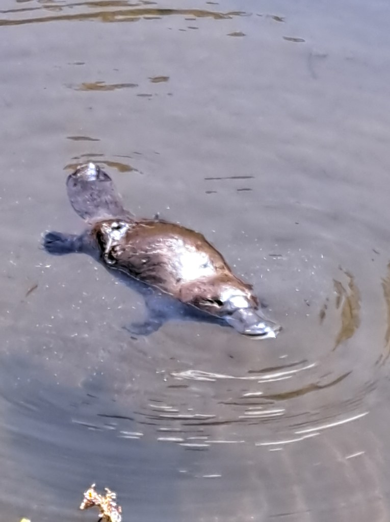
We were treated to an amazing platypus experience!at the arboretum.
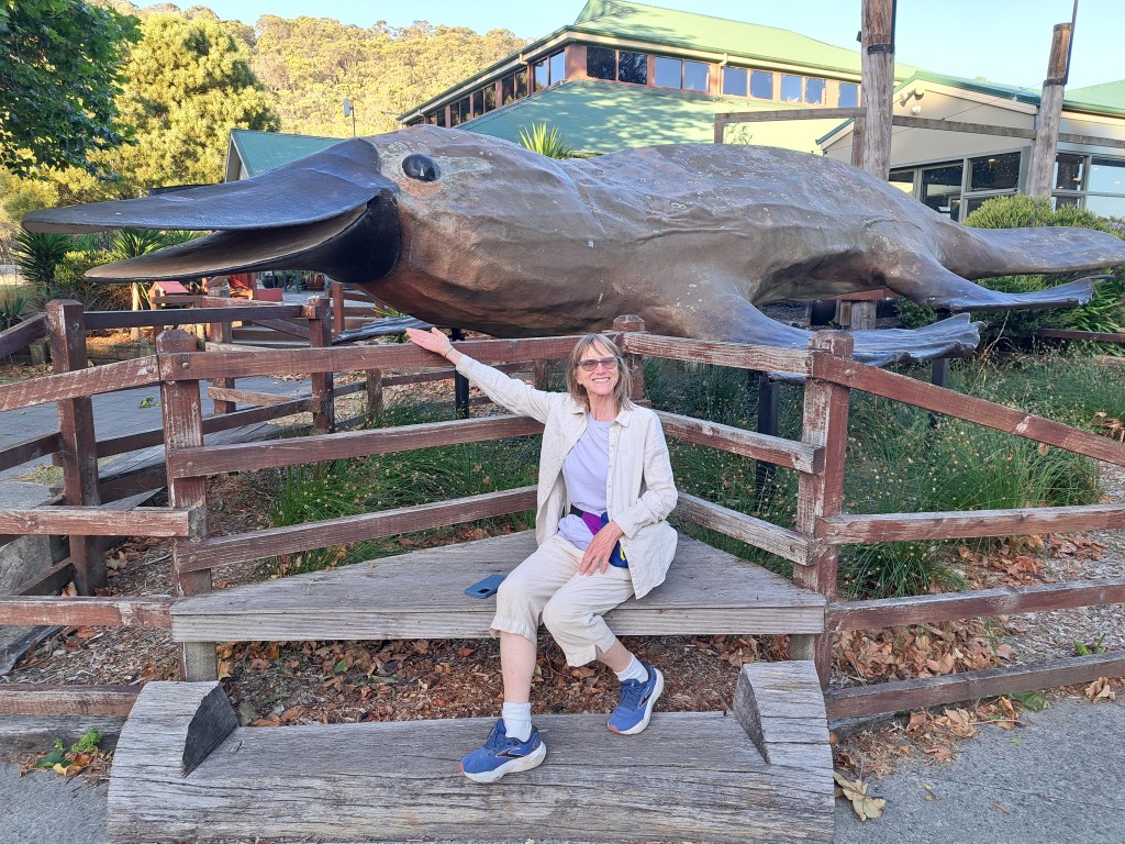
As our Tassie adventure came to an end, we boarded our ferry back to the mainland.
Melbourne Area
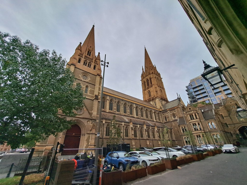
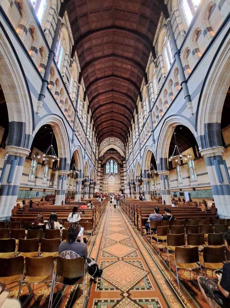
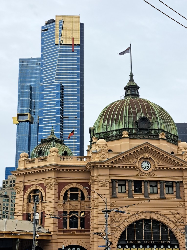
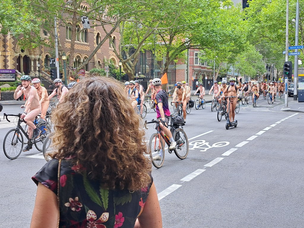
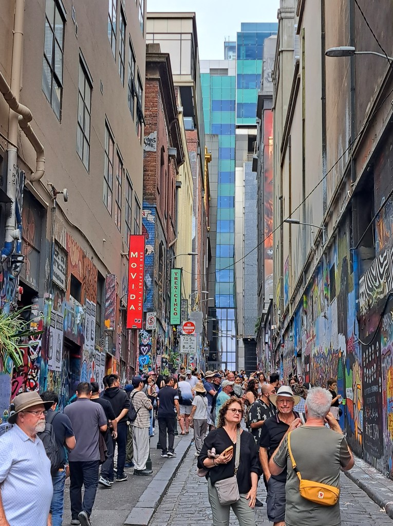
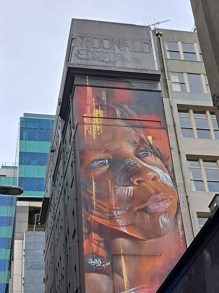
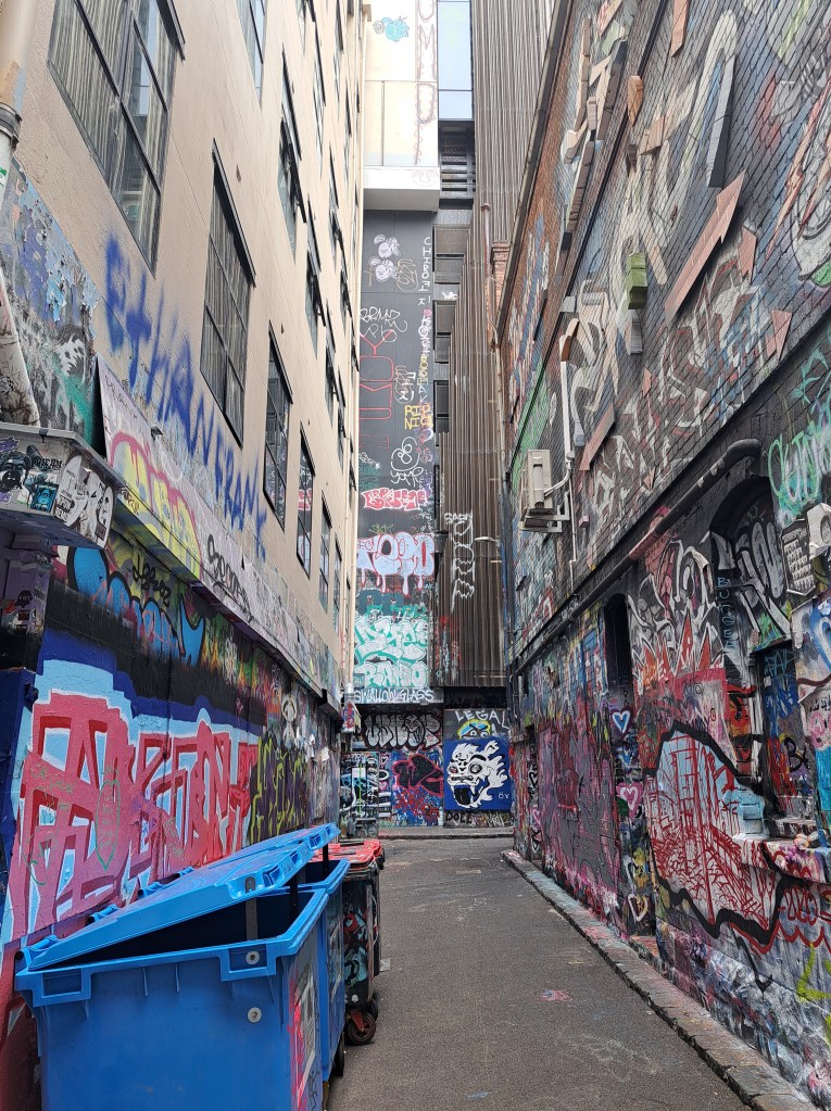
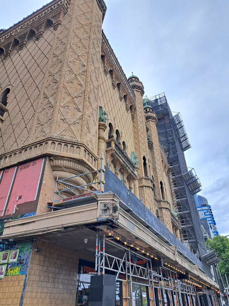
We spent a few days visiting an old college mate south of the city. Melbourne has interesting architecture, graffiti and random.naked bike rides….enjoy the album.
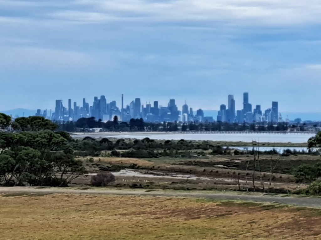
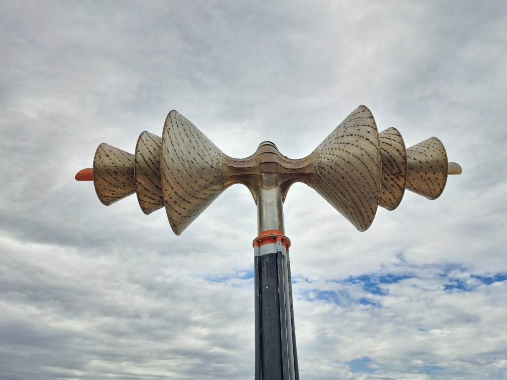
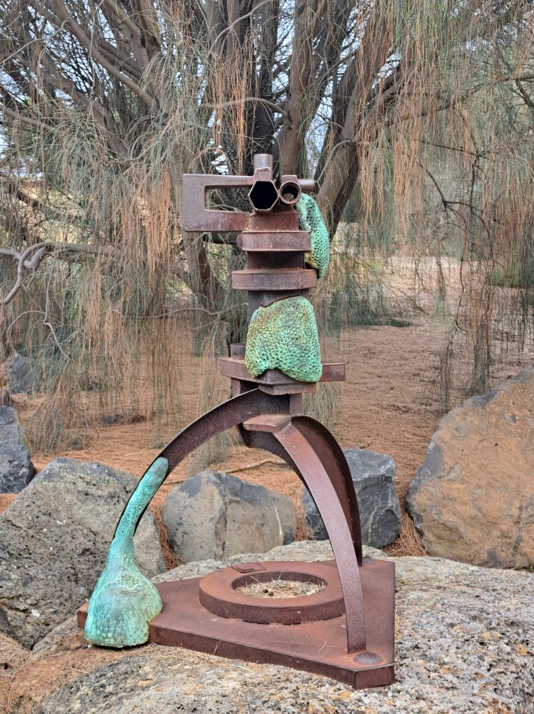
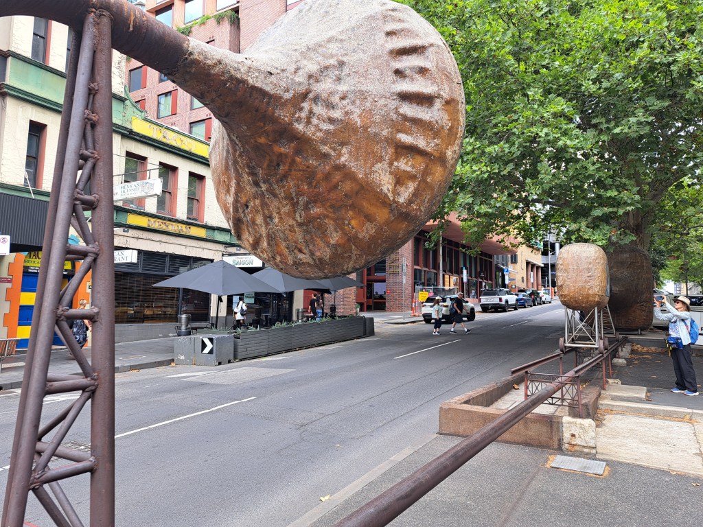
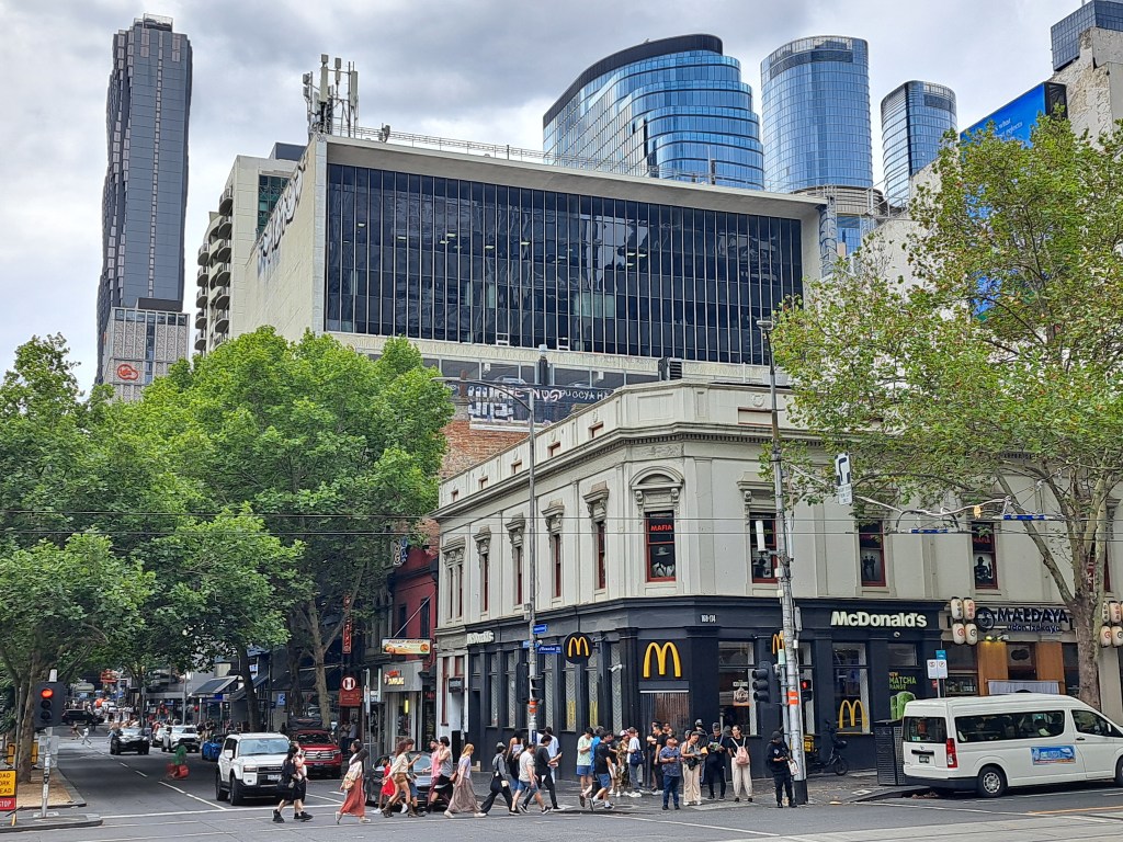
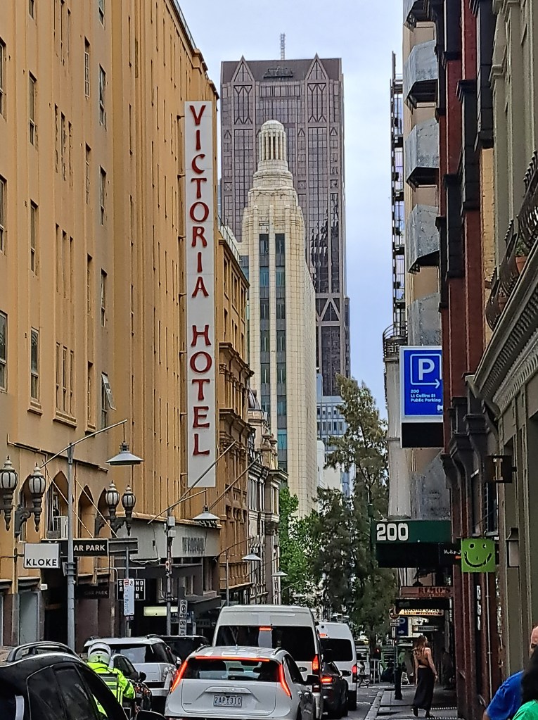
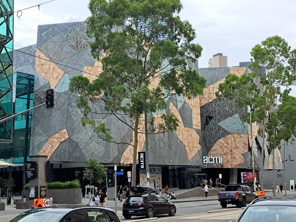
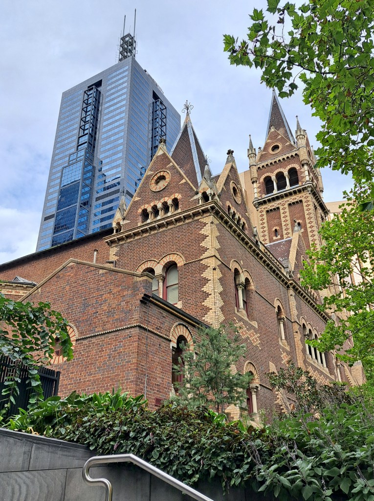
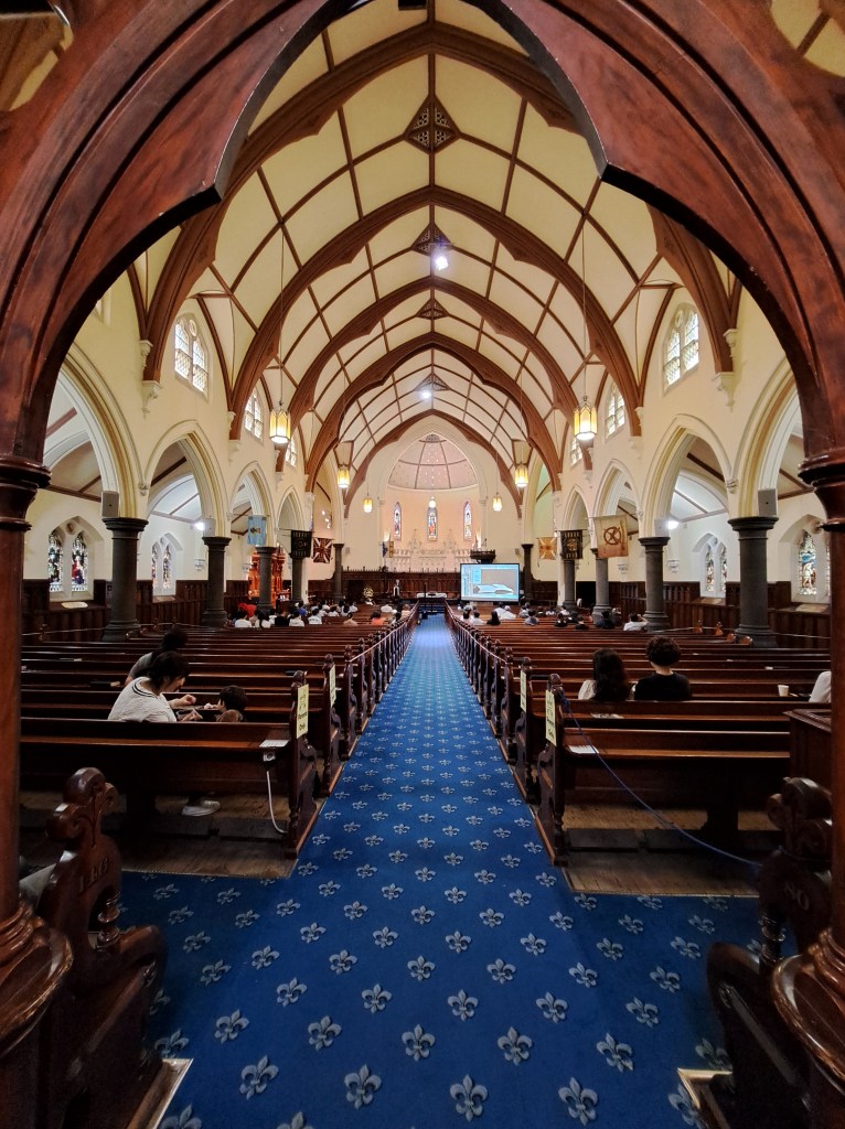
I overheard this woman say “I hope I don’t see anyone I know…”
South Coast
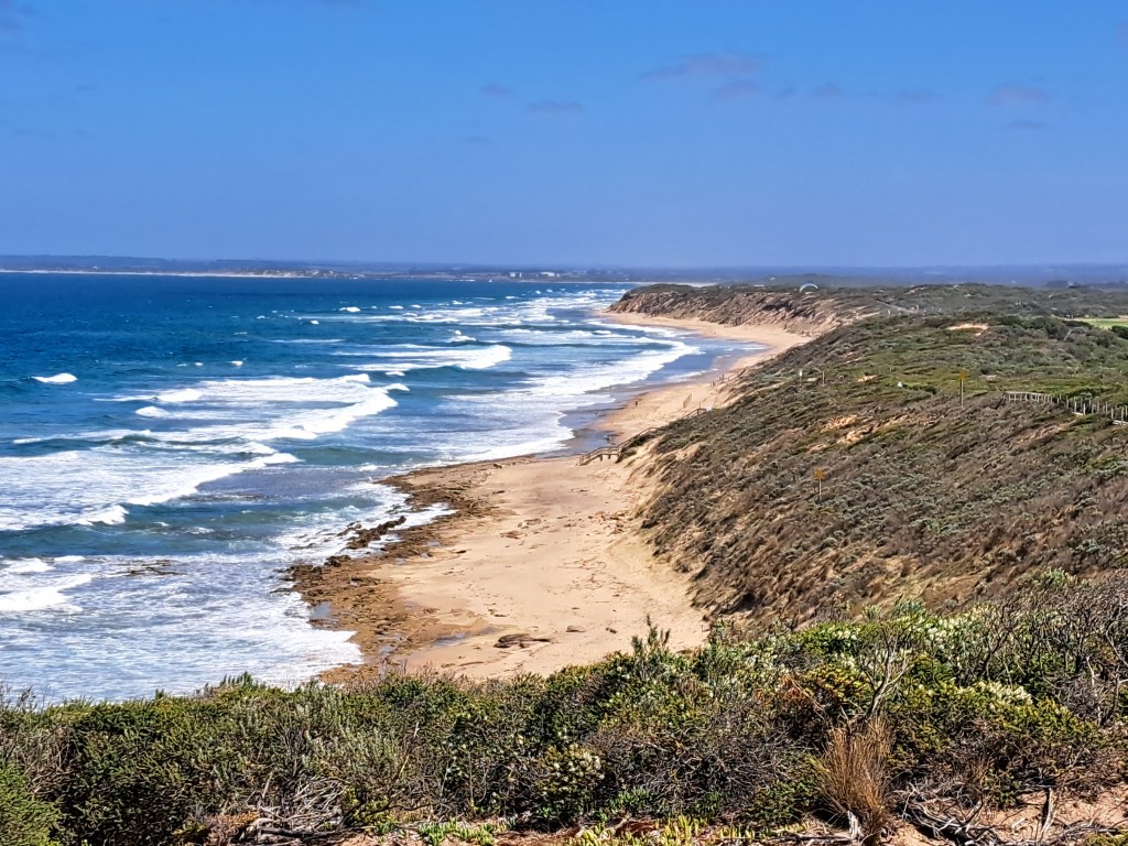
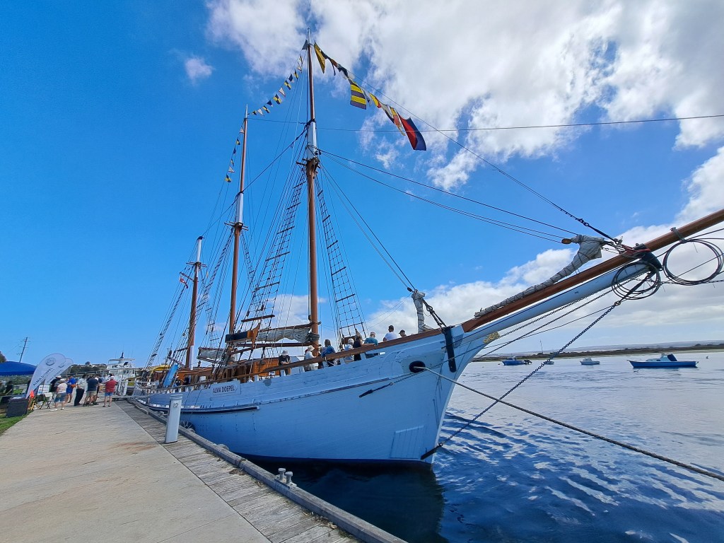
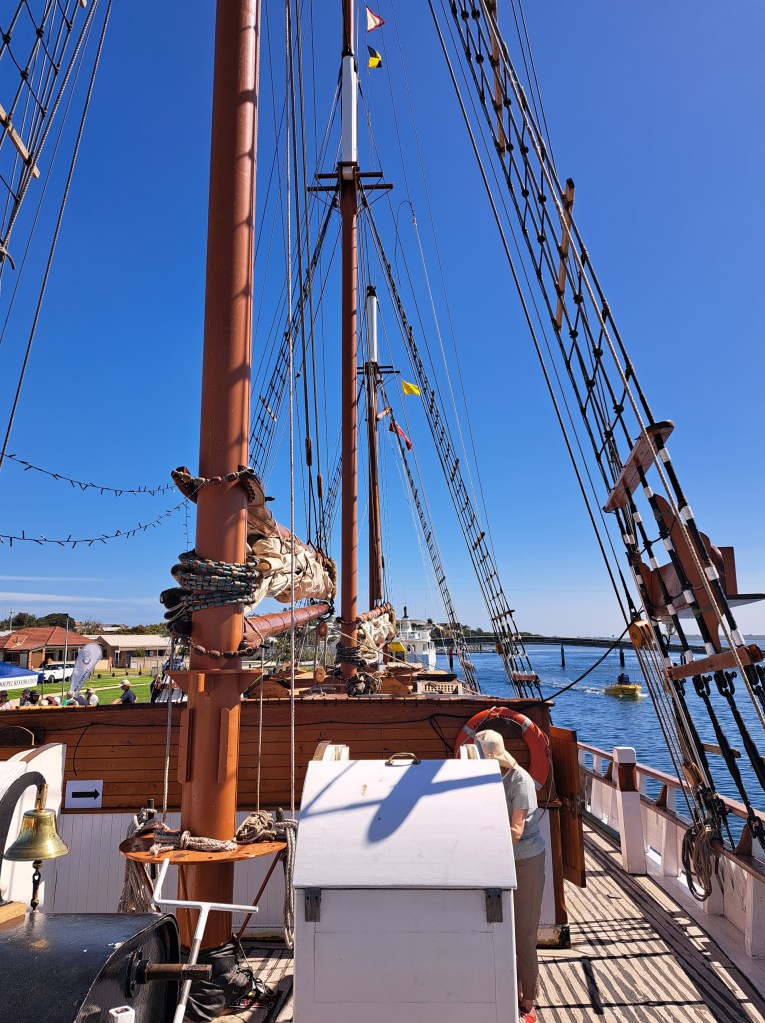
From Melbourne we traveled to Barwon Heads to spend a few days exploring. This included touring a tall ship in Queenscliffe.
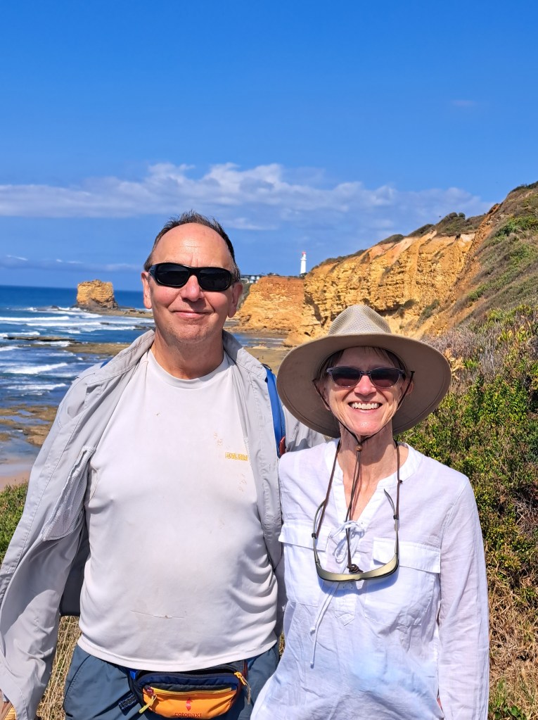
From Barwon Heads we drove southwest along the Great Ocean Toad. The road was built after World War I by veterans who had returned home shell shocked, I’ll, and in need of a job. The road was built as a long war memorial.
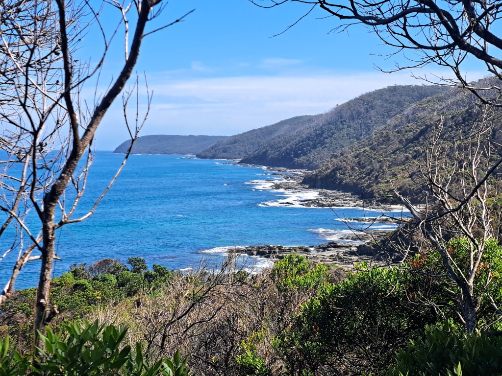
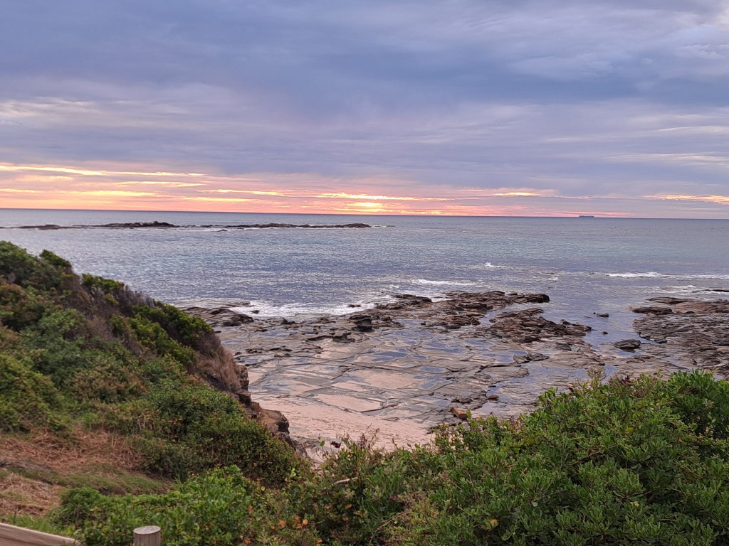
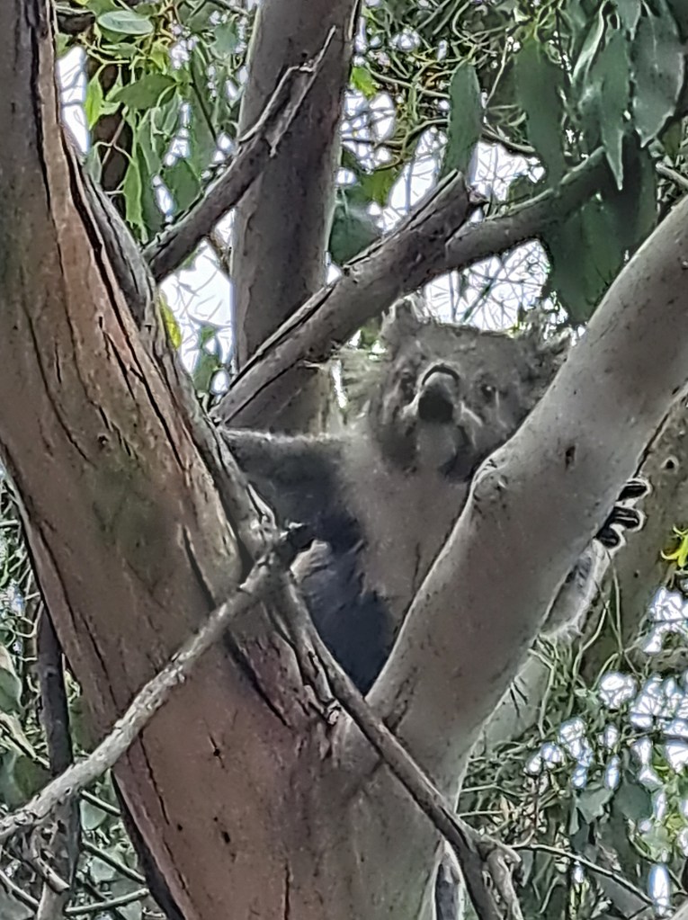
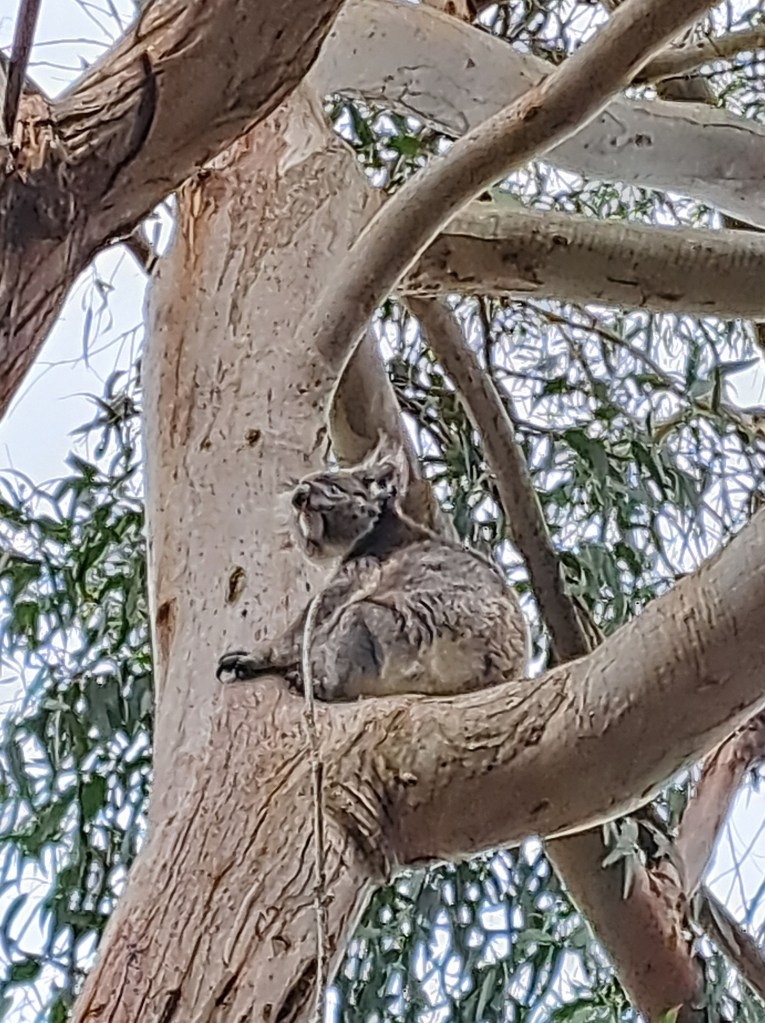
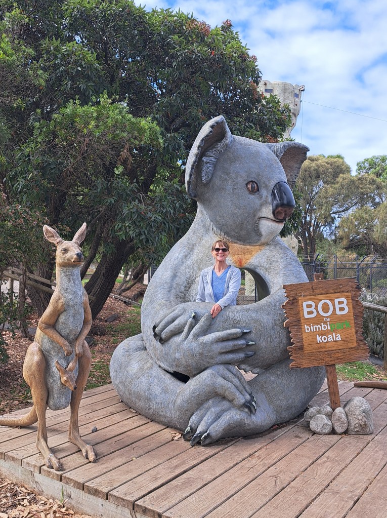
We spent a night in Apollo Bay and another nearby where we sighted our first koala just up the road from.Camp. We were fortunate enough to see others right in our campground in Great Otway National Park and along the road towards Port Campbell.
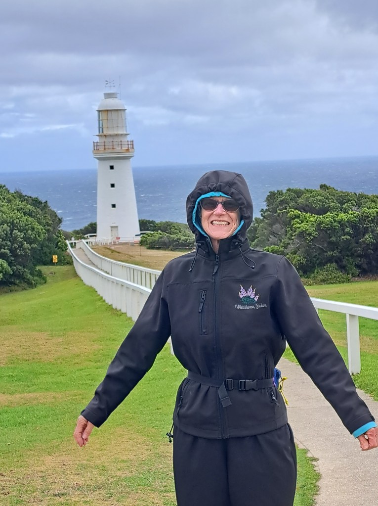
We visited the Cape Otway lighthouse on a blustery day.
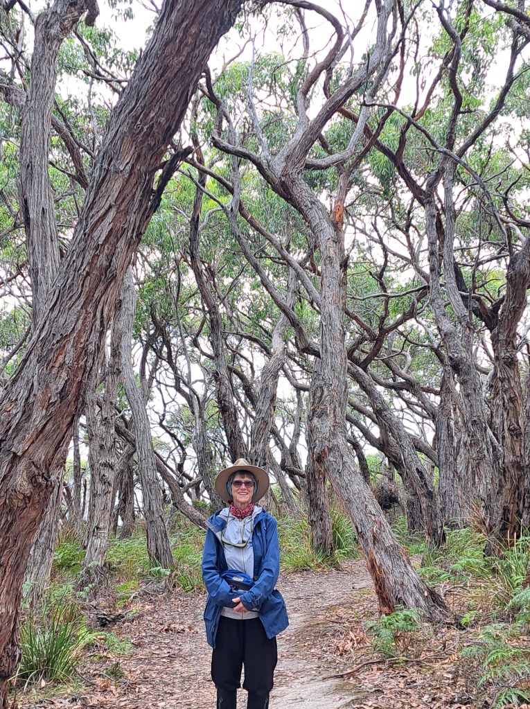
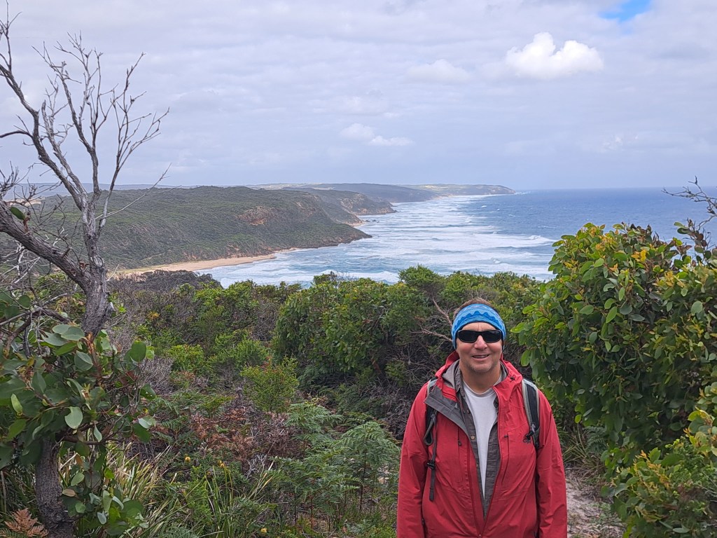
We walked sections of the Great Ocean walk which is a 110km ling track that runs from Appollo Bay. Some of the days were windy and threatened rain squalls.
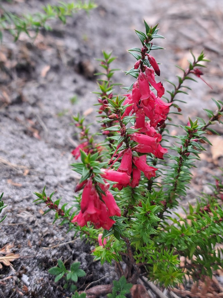
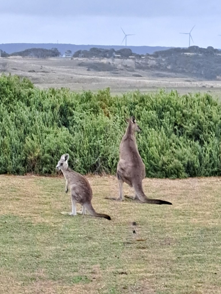
We had kangaroos at our camp.in Prince Town…
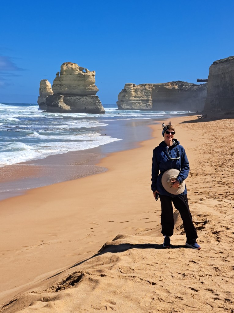
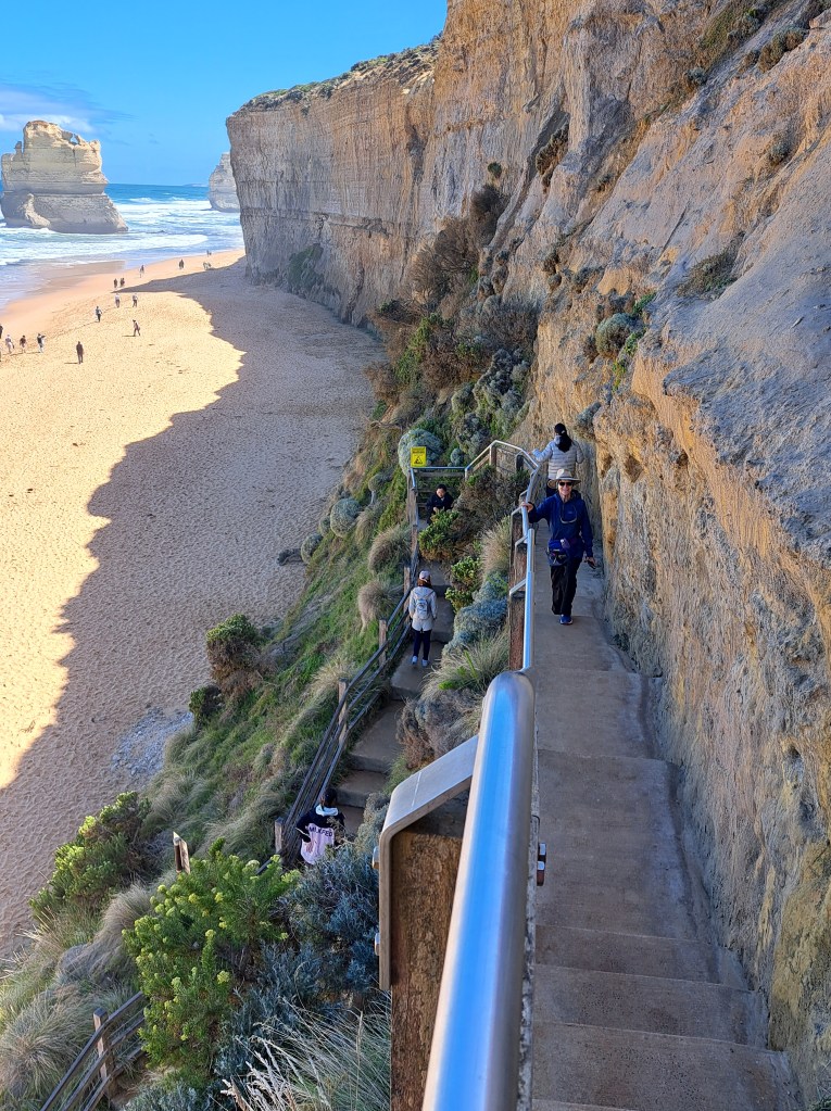
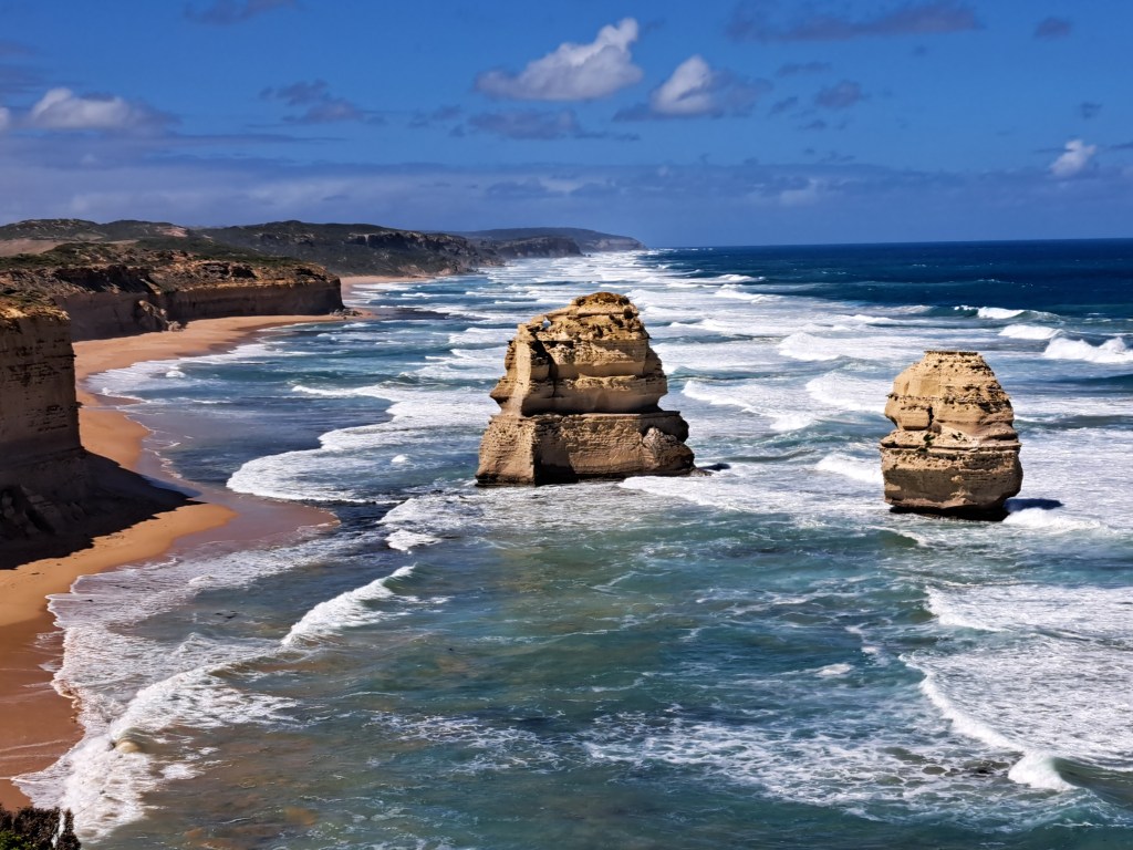
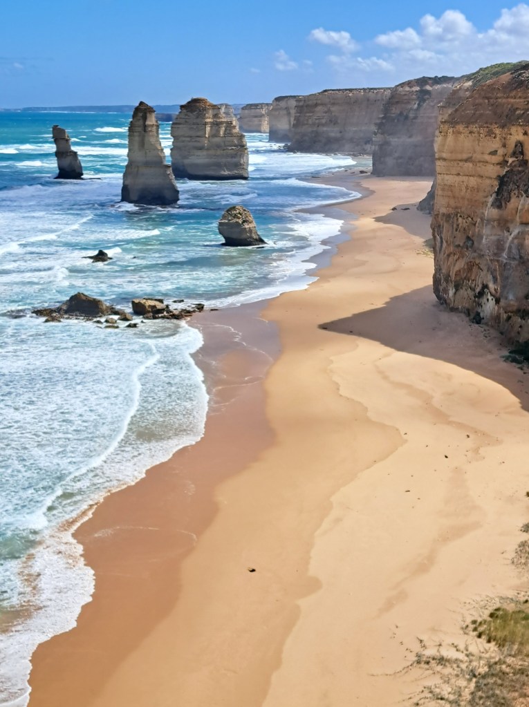
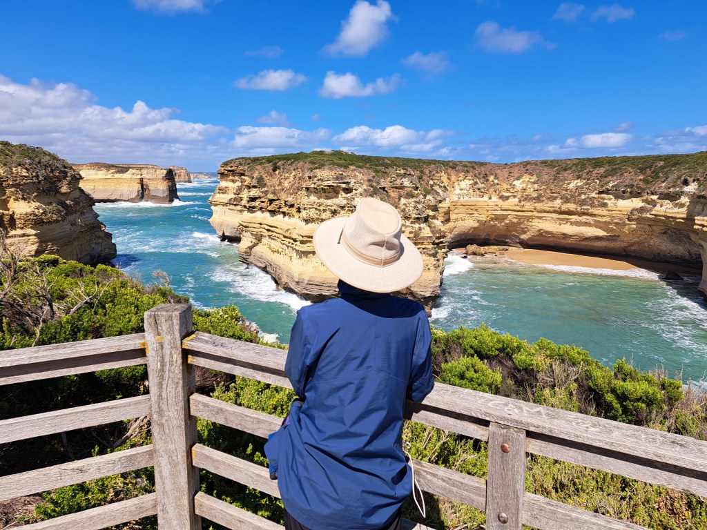
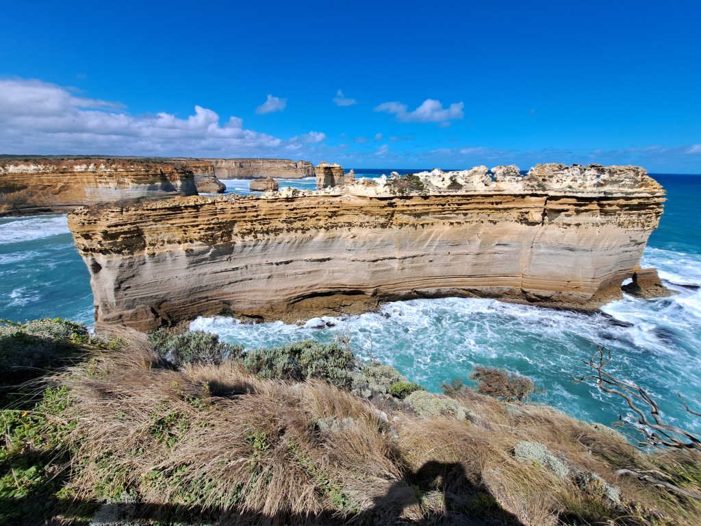
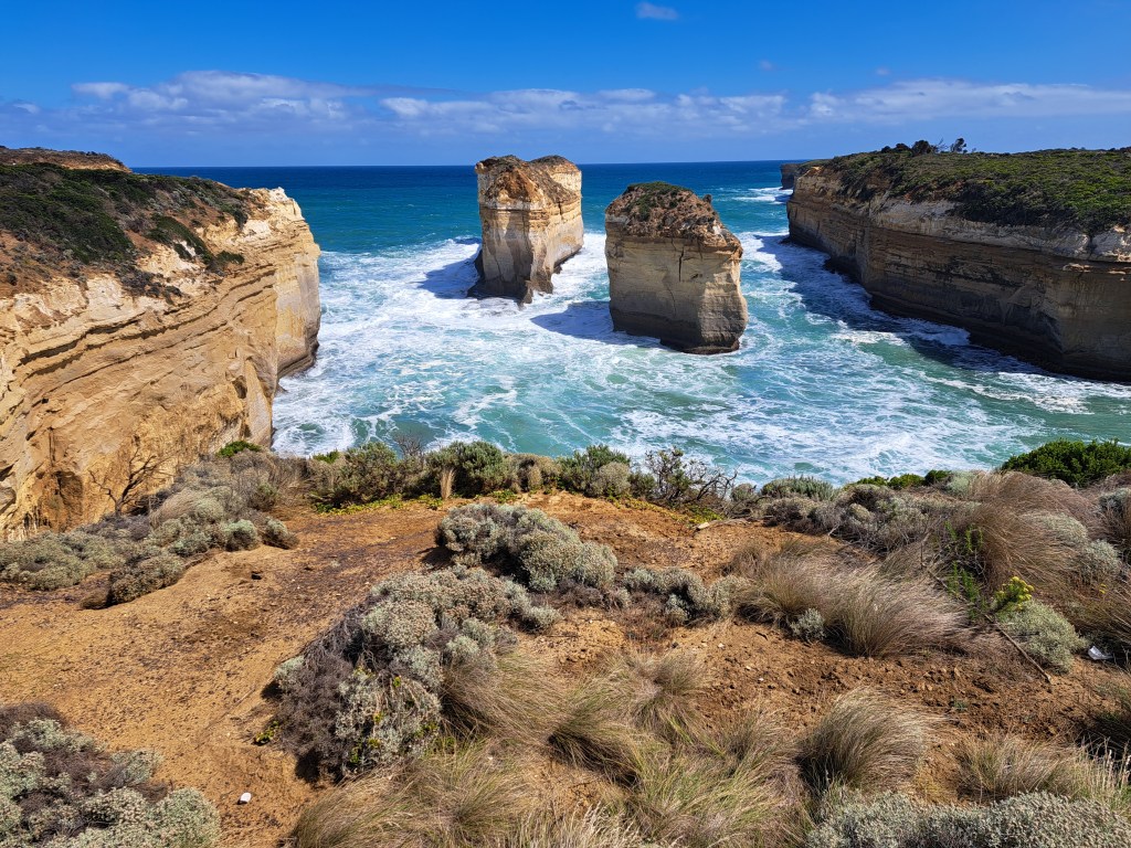
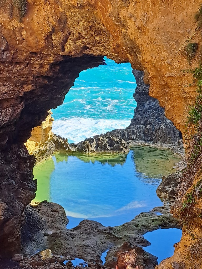
The most dramatic section of coast was around the 12 Apostles. The coast here is made up of tall cliffs of sandstone and some limestone and there are many sea stacks that give the region its name.
Grampians
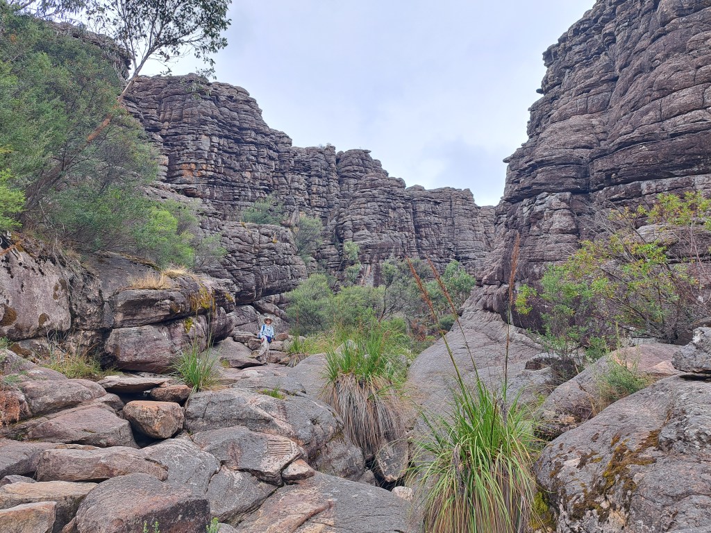
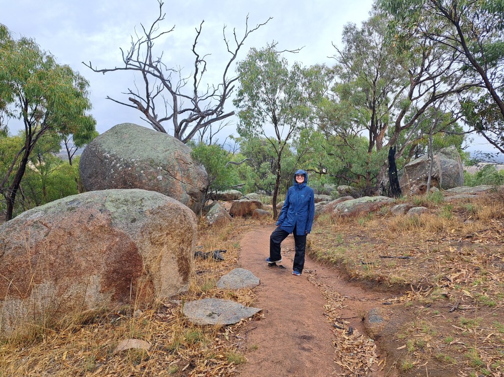
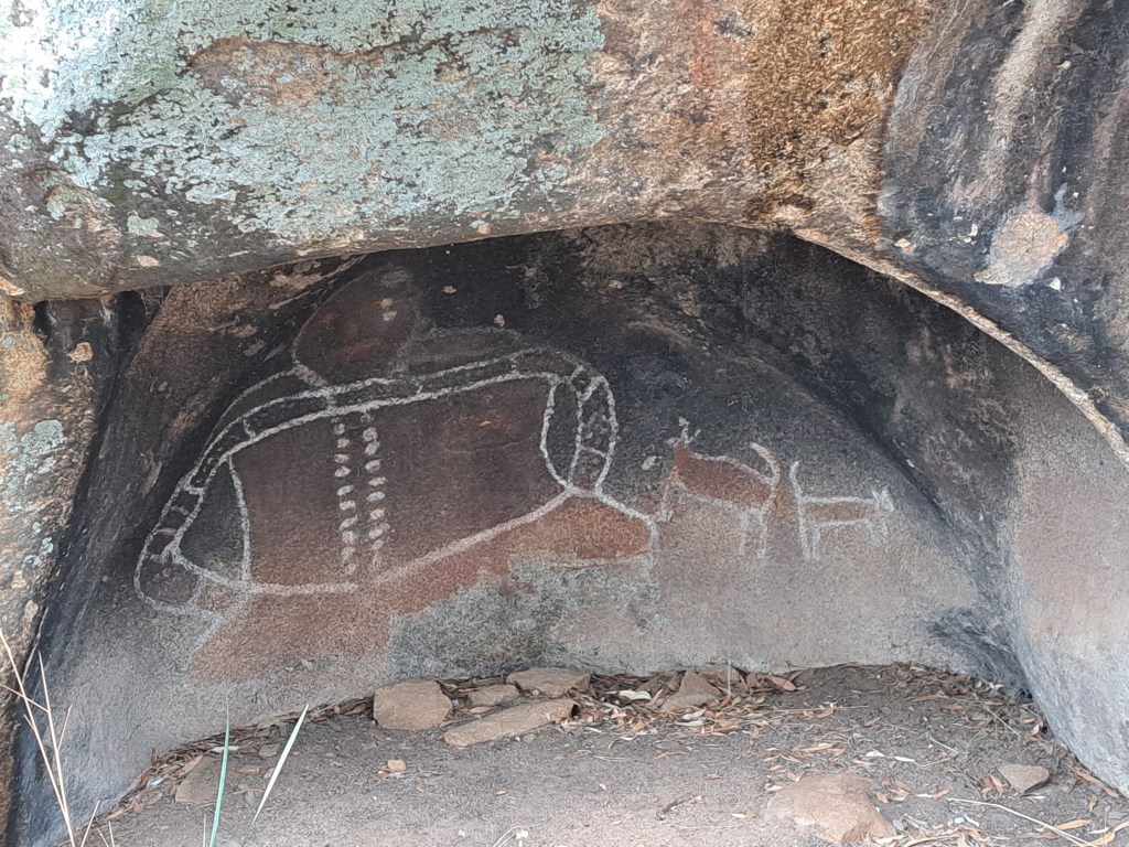
From the coast we turned north to Grampians National Park. We spent a few nights camping and exploring the area. Our first full day was rainy so we took it easy and went to one f the cave shelter rock sites.
Aboriginal painting in Bunjils shelter.
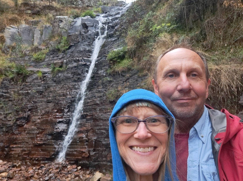
We also walked to Silverbrand Falls.
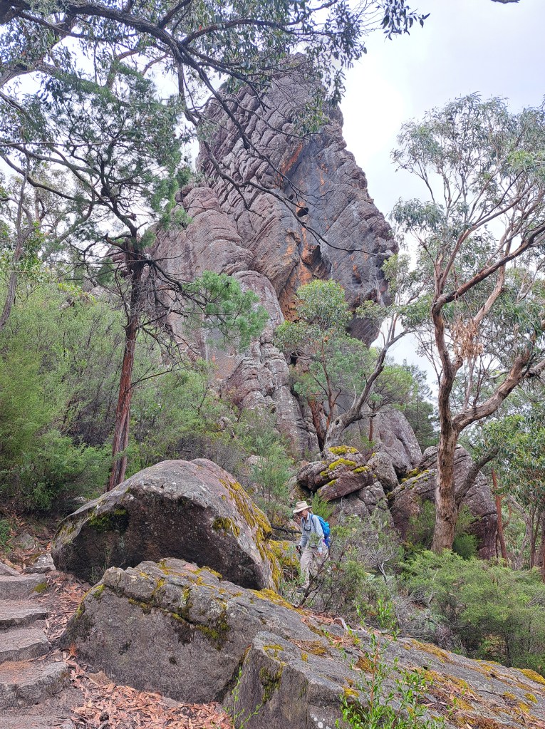
Our second full.day was dry with some clouds and we took advantage of the weather to make a longer walk. We chose the Wonderland trail, a loop
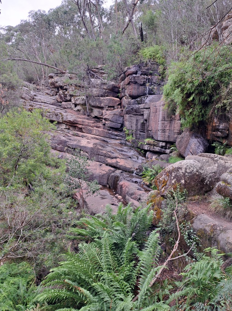
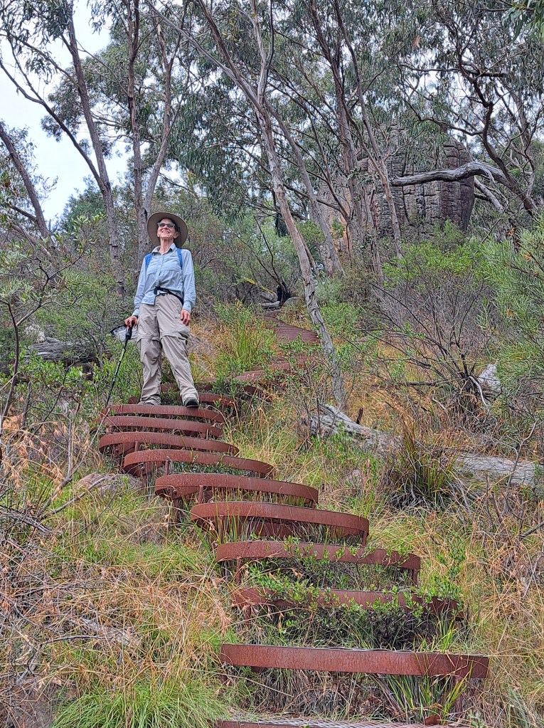
The trail followed a creek along the base of.the ridge through forest and fern. Rounding a gap to the north we climbed steeply.
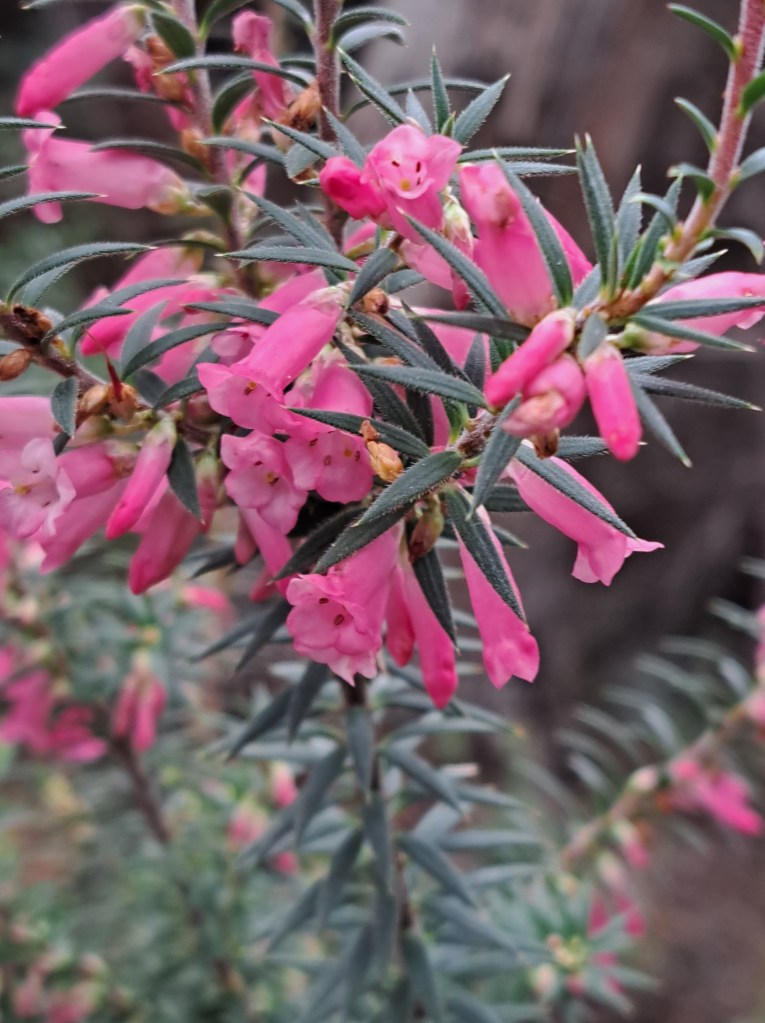
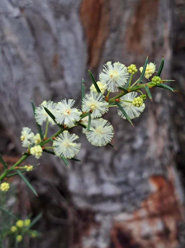
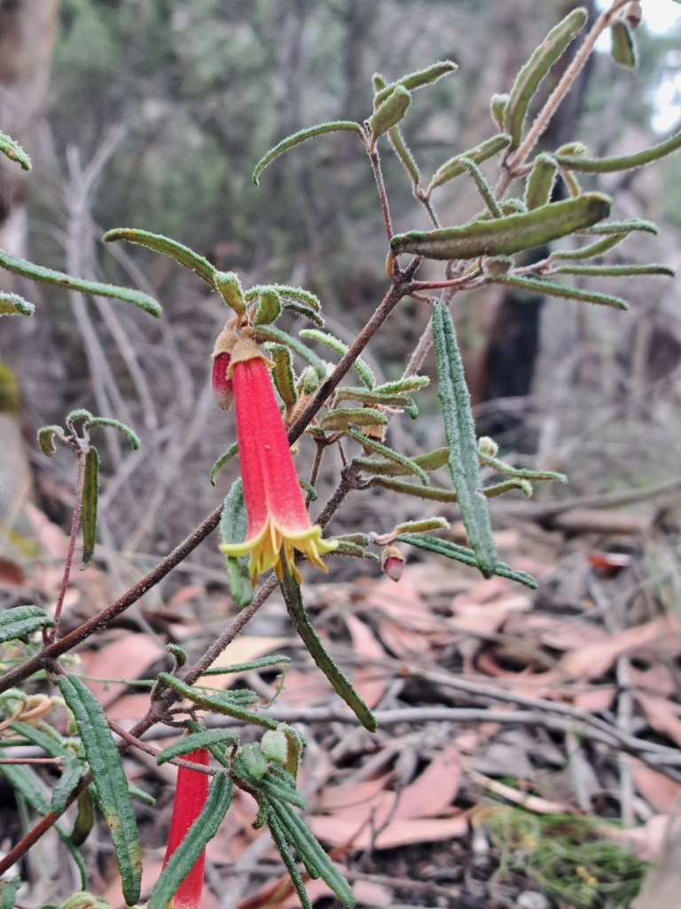
As we climbed, we noticed different plants I n bloom that we did not see below.
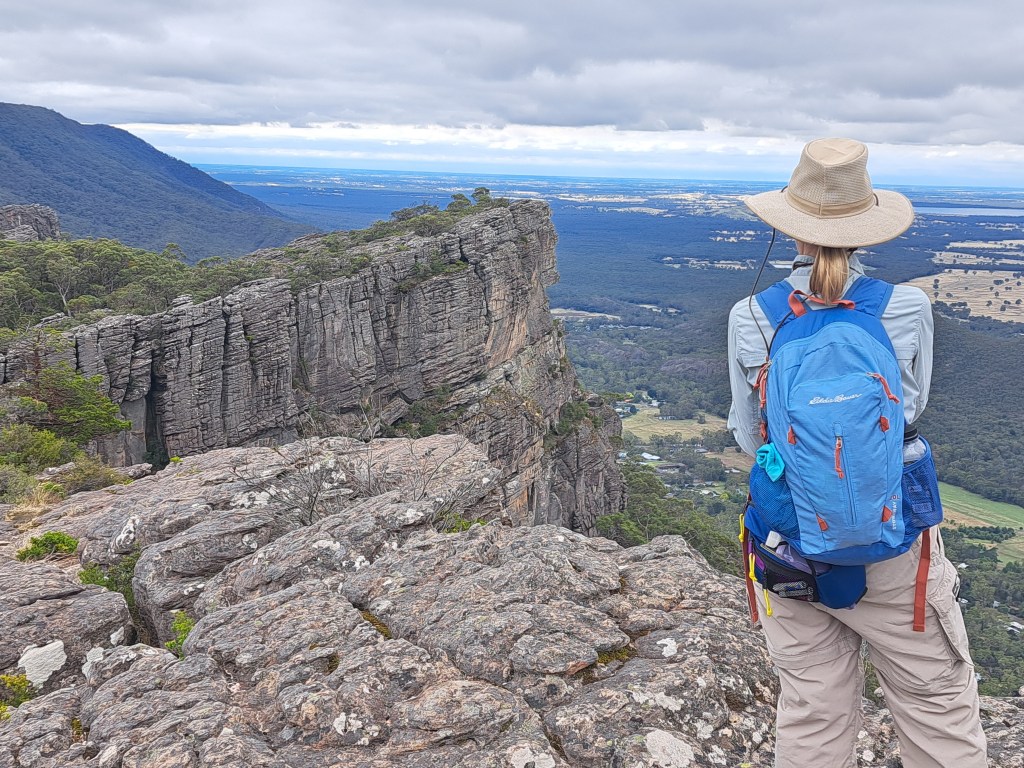
We took a break a t the top.for.lunch with a view overlooking Halls Gap and the plains beyond.
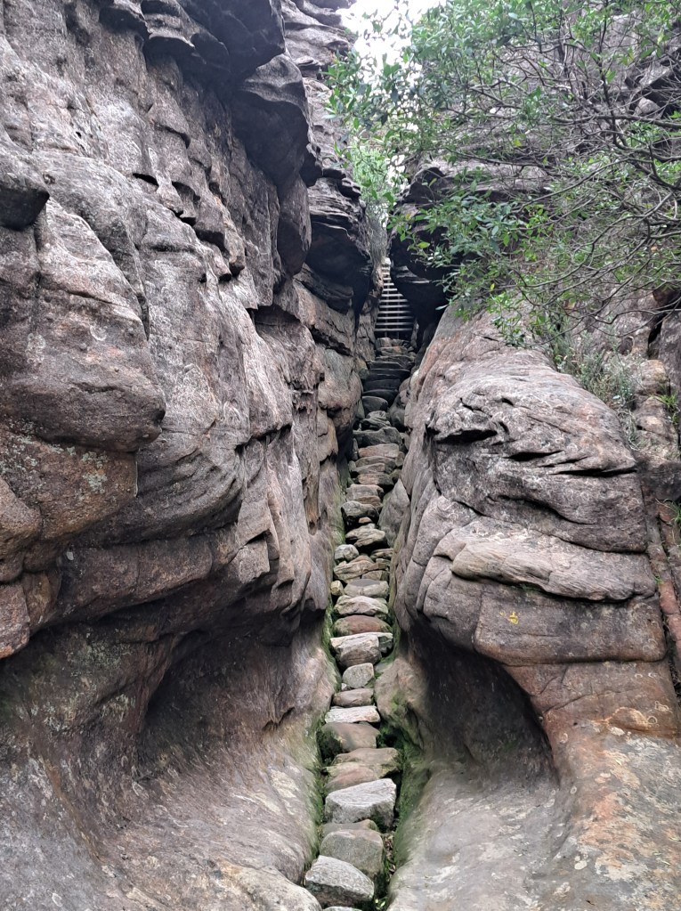
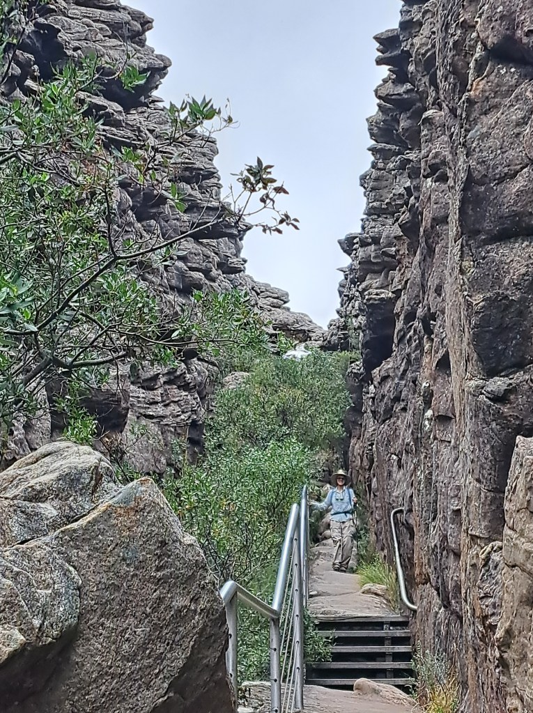
The best was yet to come. As we passed the Pinnacle the track wound downhill int I several narrow chasms formed by cracks in the sandstone formation.
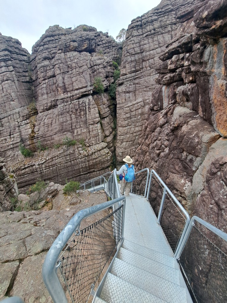
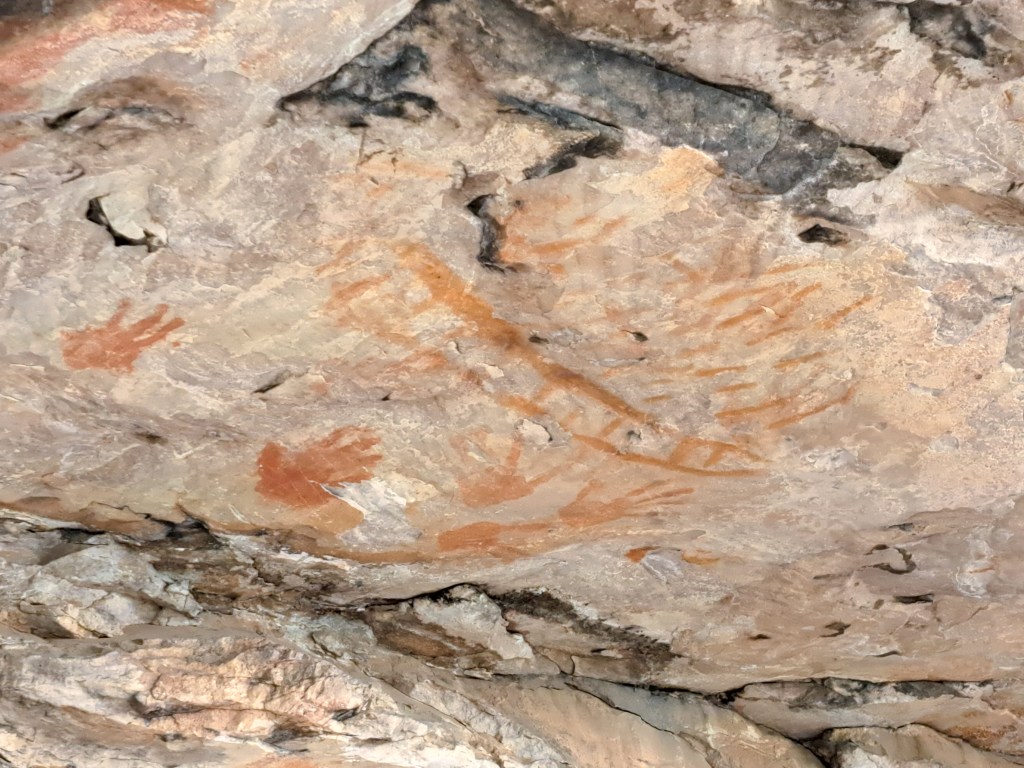
We also explored two more rock art sites on our way west out of the park. The first was Gulgurn Manja.
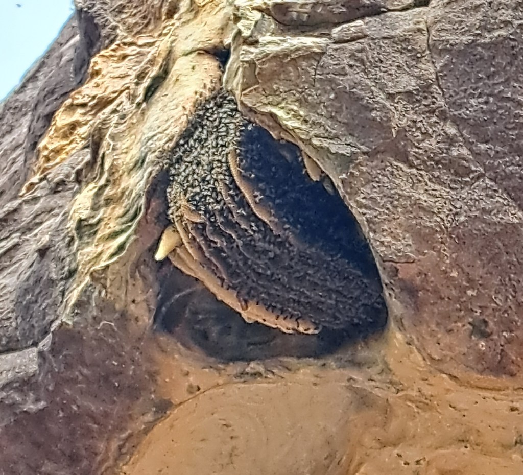
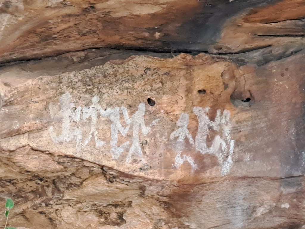
The second was Ngamadjidji. Notable for being one of the few done with white.
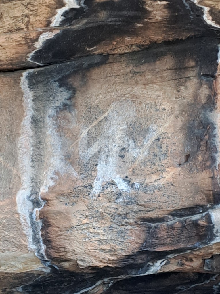
We.left.the hills and drive west to South Australia and the coast….
South Australia Coast: Robe and Fleurieu Peninsula
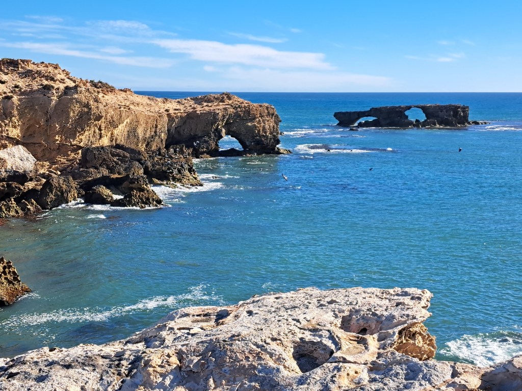
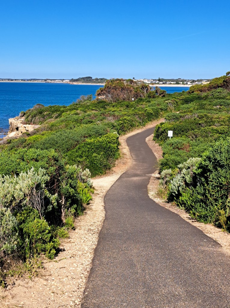
After a night spent in a buggy campground halfway, we made it to the coastal town of Robe, South Australia. We took a lovely walk along the coastline.
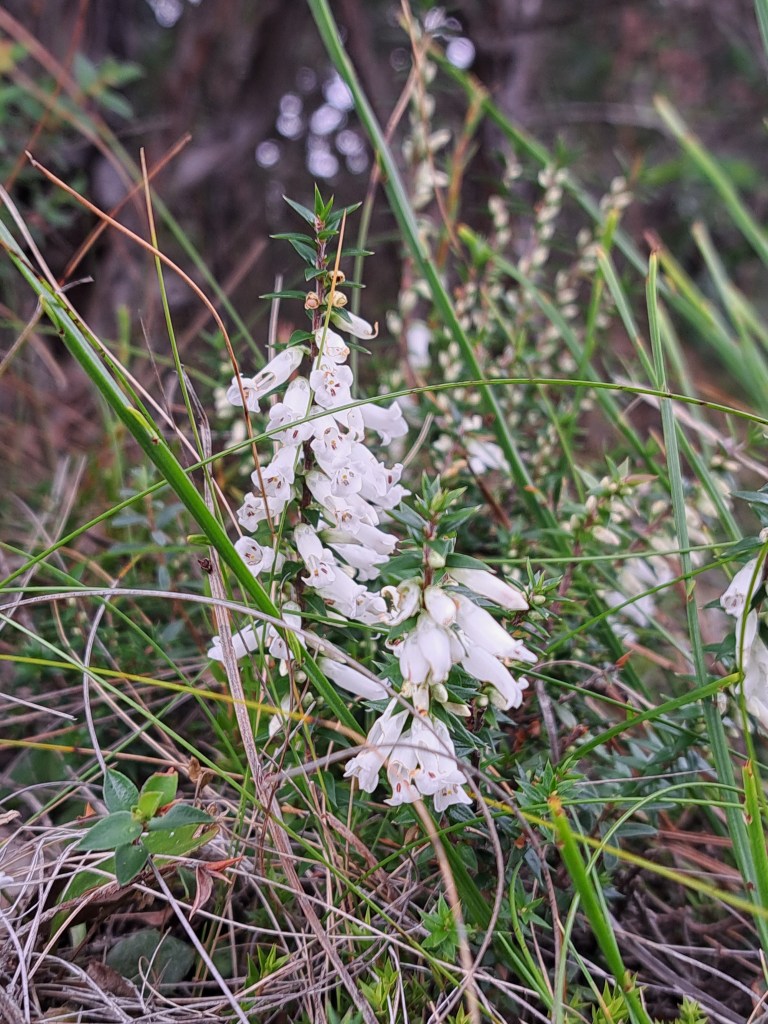
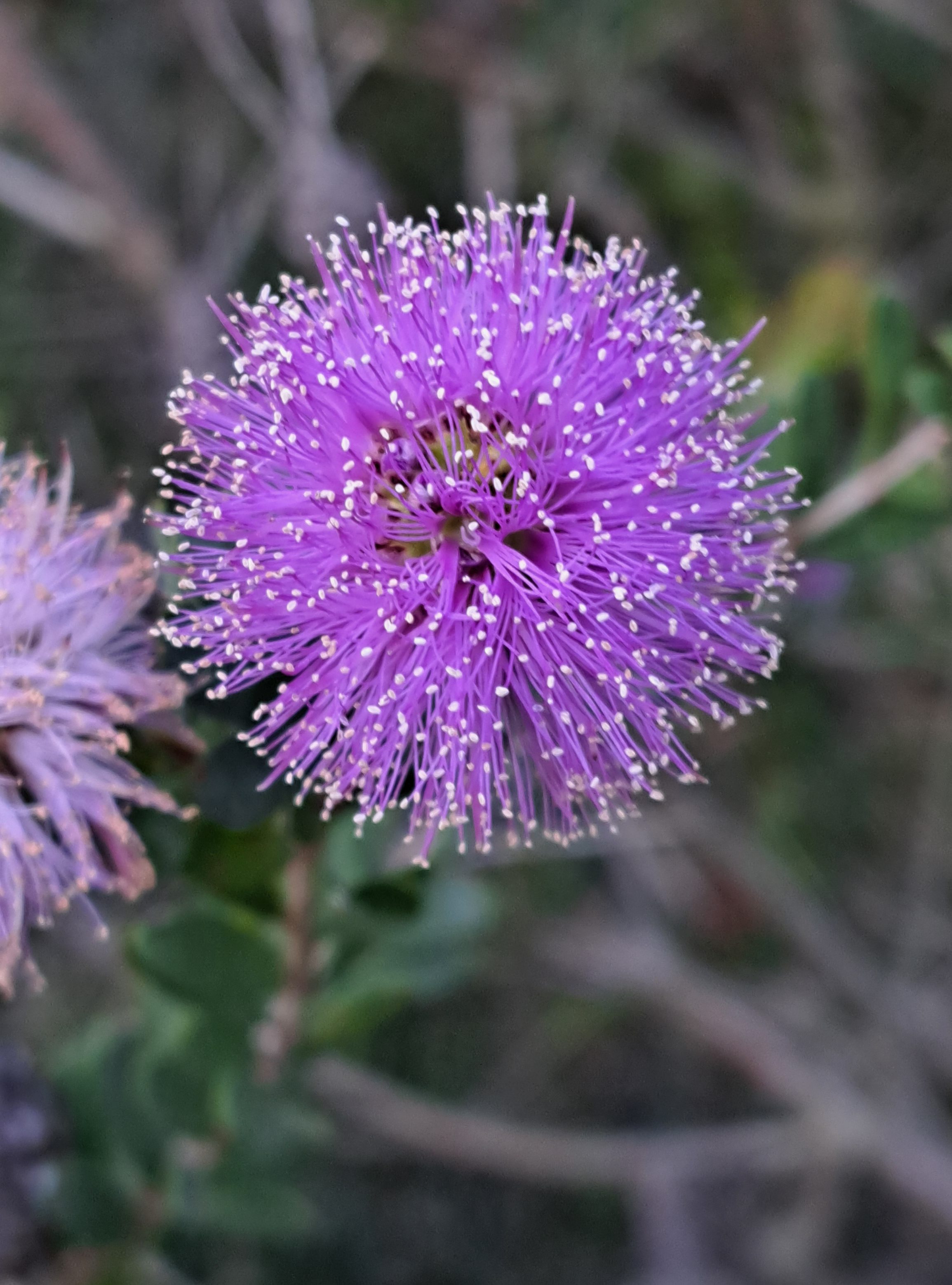
We spotted some interesting new flowering plants, even though it is fall here.
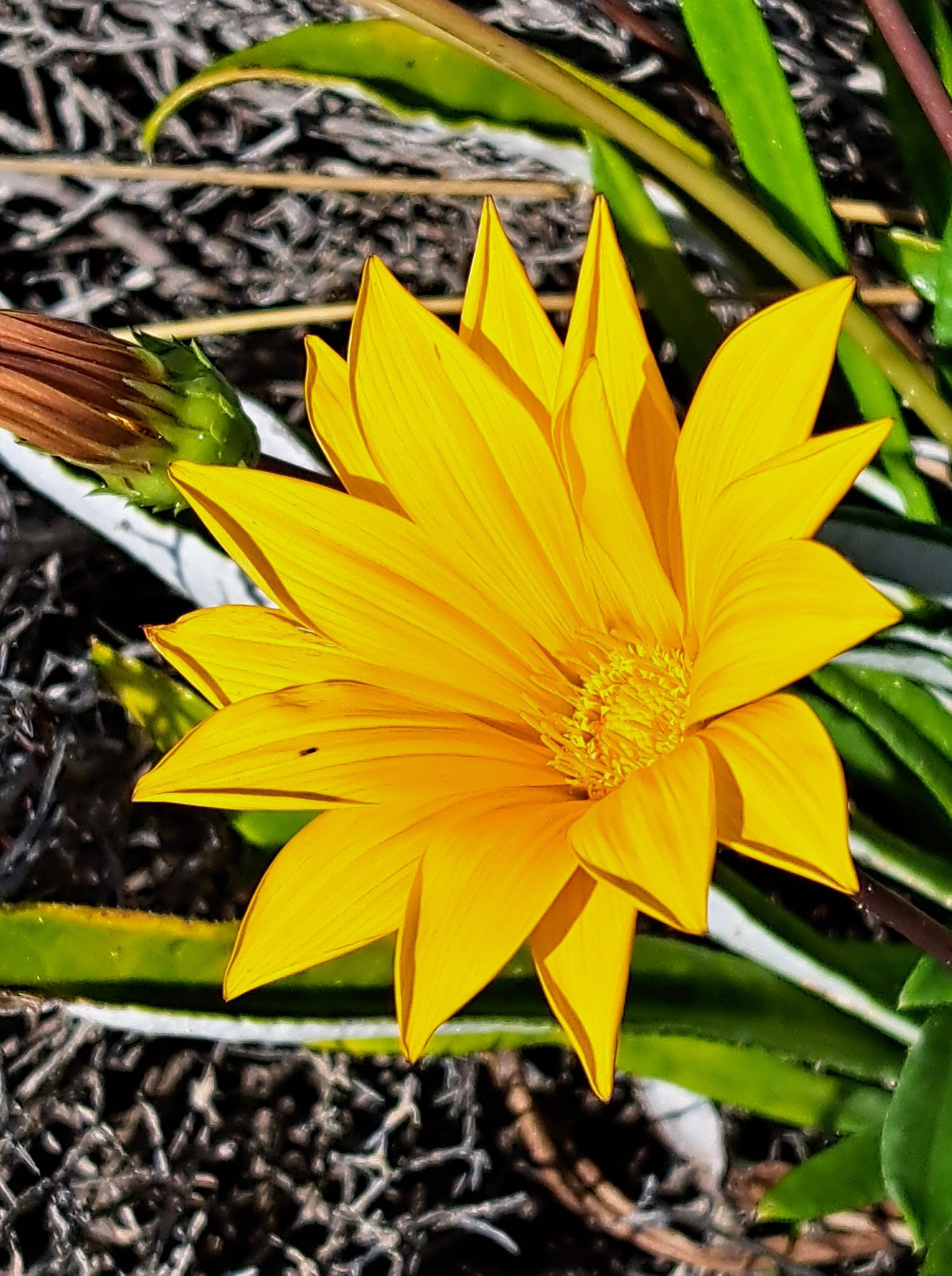
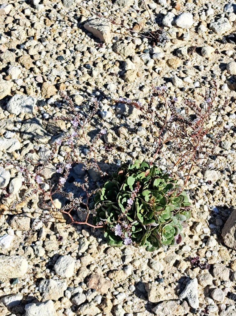
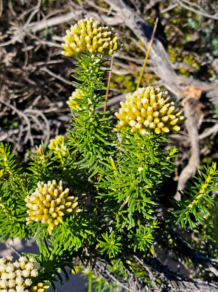
From Robe we drove north along the coast before turning west to Elliott Bay. We spent two nights in a caravan park and explores nearby.
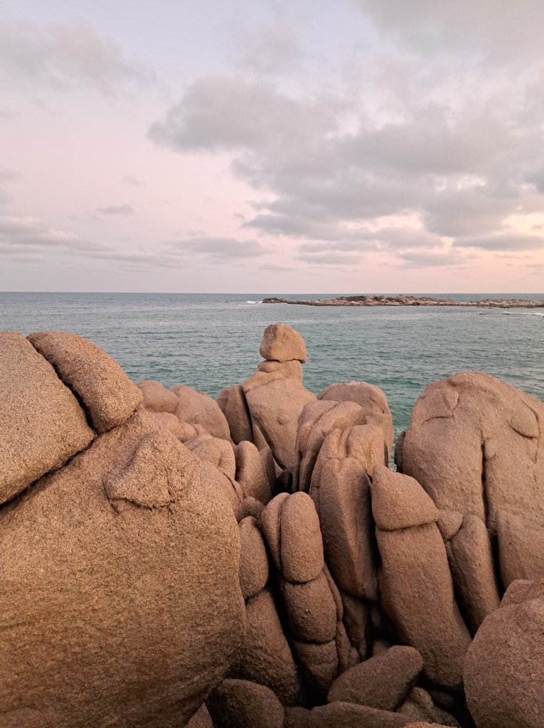
We explored the Vixtor Harbor area, including a walk up the bluff.
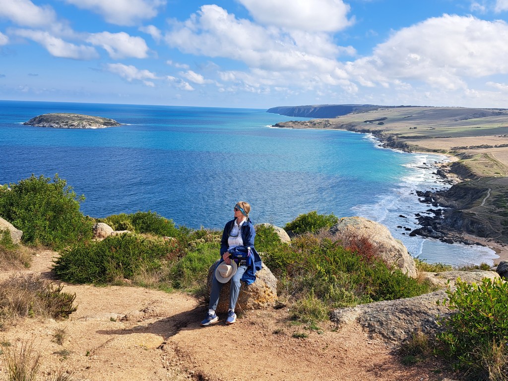
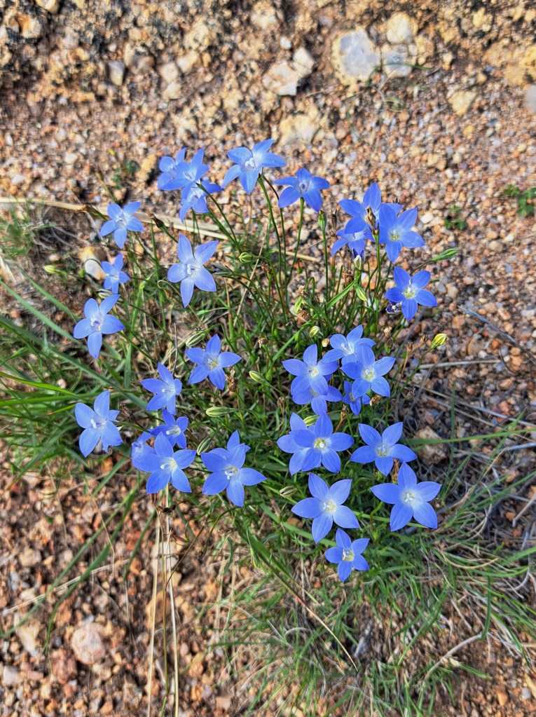
Flowering plants were in bloom.
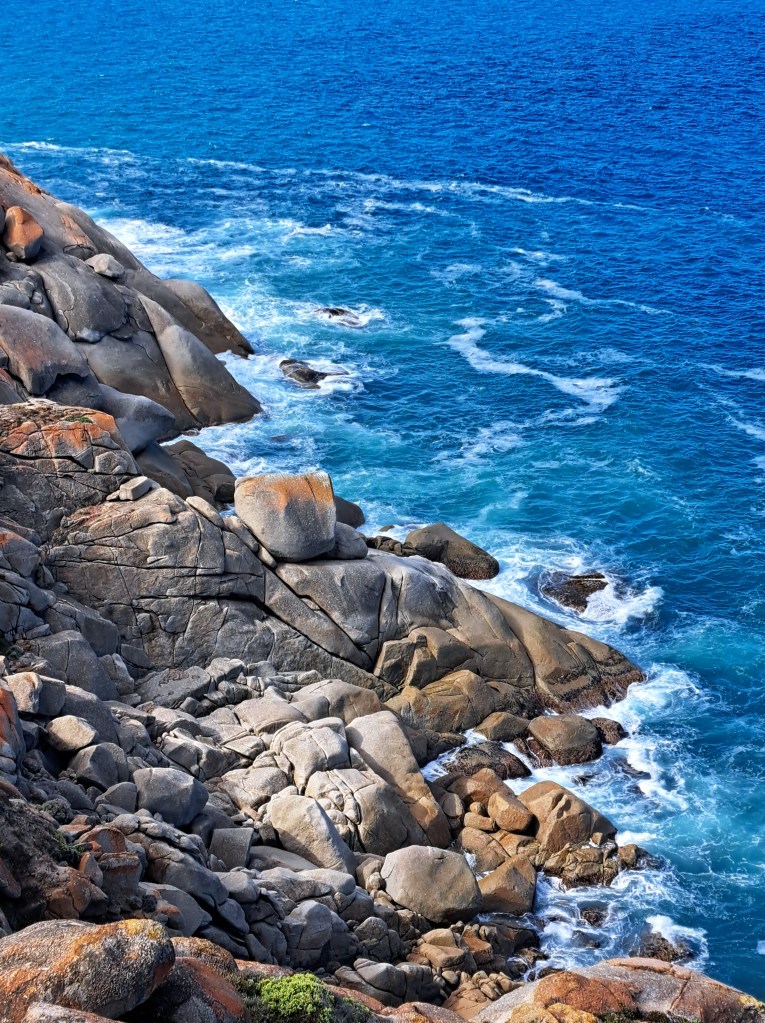
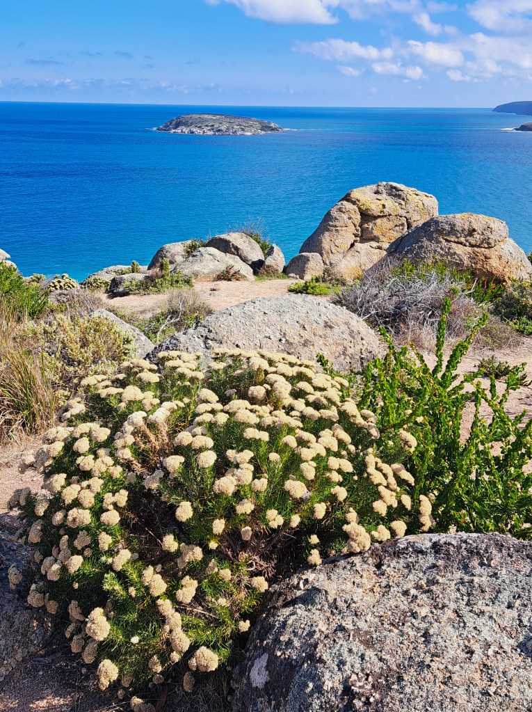
We also took a walk out to Granite Island. There is a causeway that connects the island to Victor Harbor. It is possible to take a horse drawn tram, but we opted to walk..
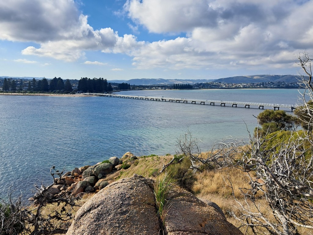
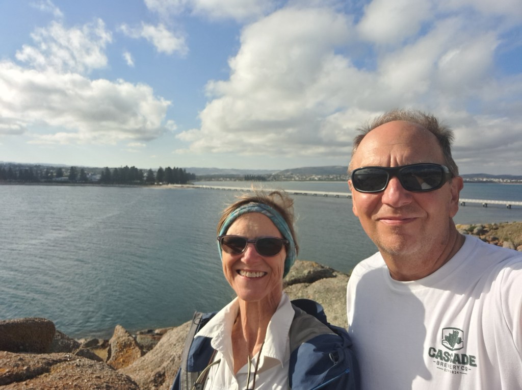
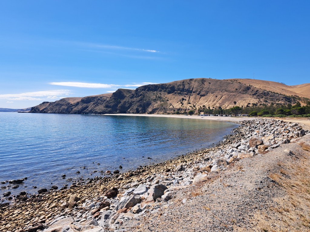
From Elliot Bay we continued along the peninsula to the Rapid Bay for a night. It was a lovely beach and camping under starry skies was wonderful. We hunted for the ever elusive leafy sea dragon but only found a sea star.
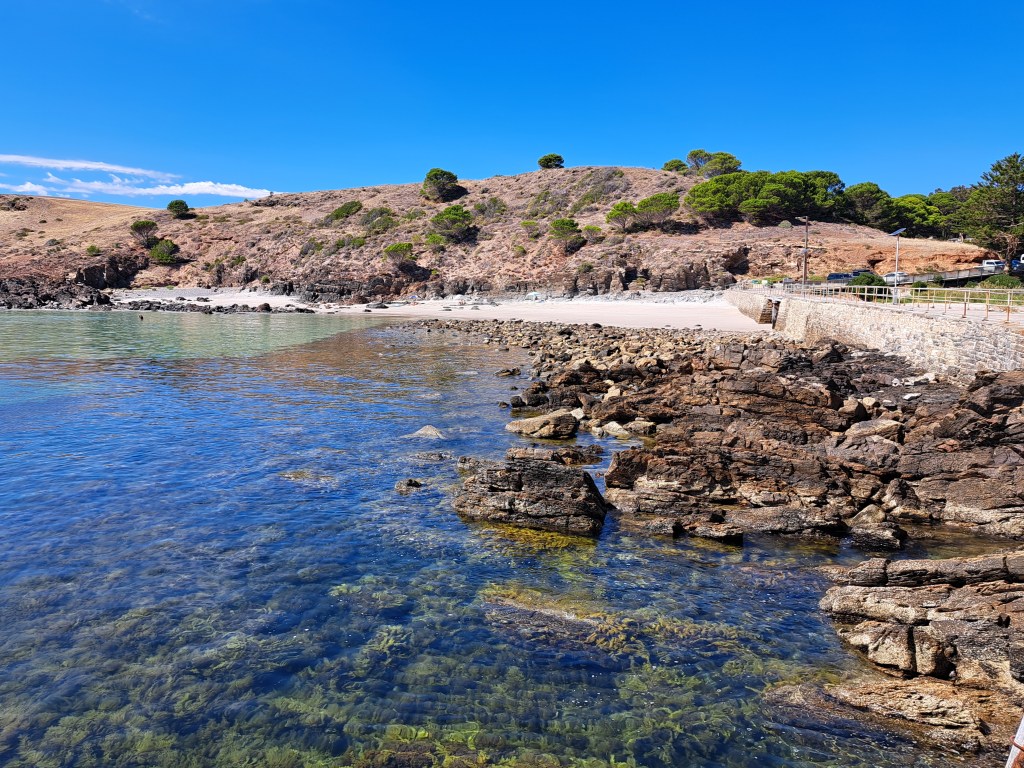
We continued our tour of the peninsula by visiting Second Bay, just around the corner.
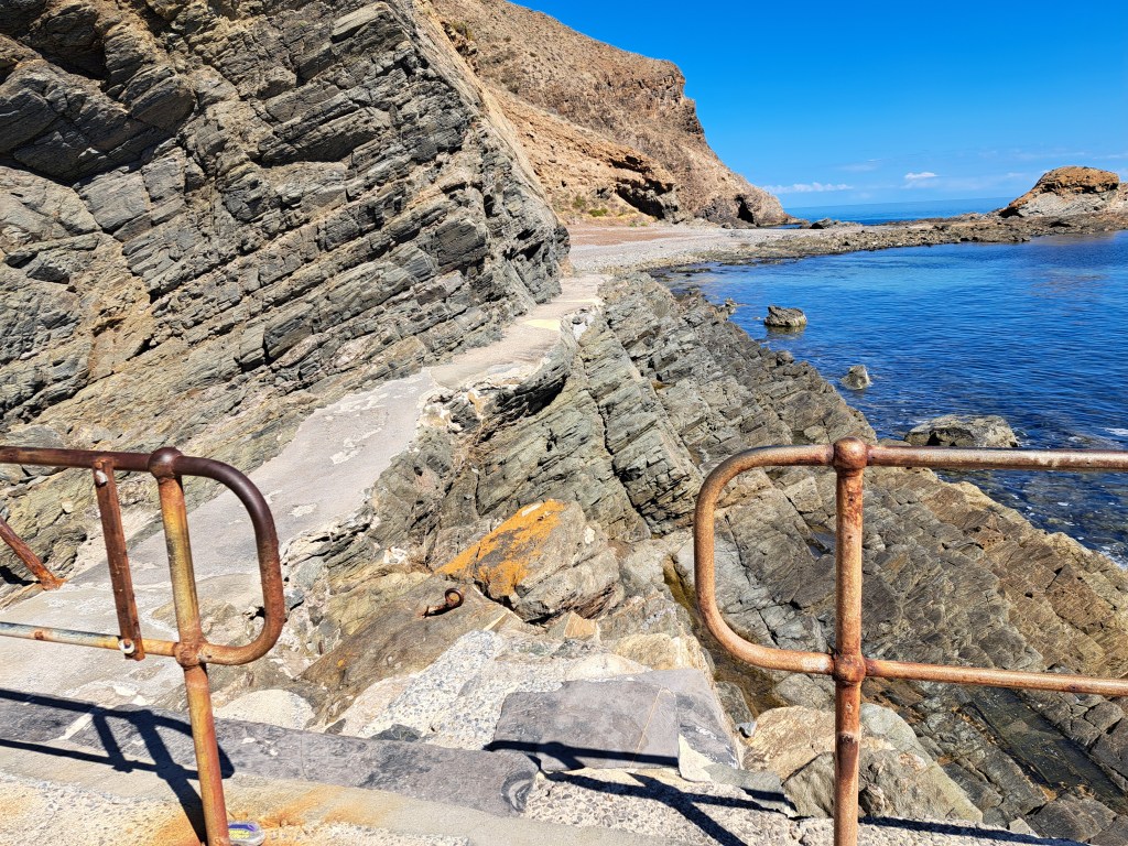
At last it was time to head north to Adelaide…
Adelaide, or is it Southern California?
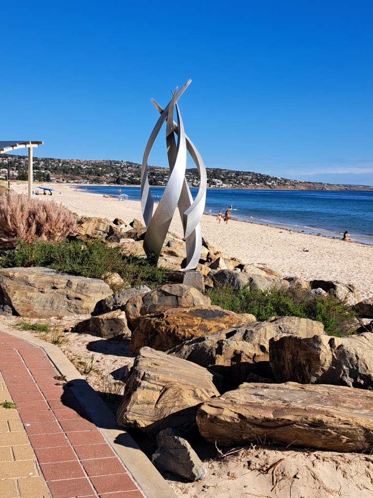
We spent 6 days in the area, but three of those we were pet sitters in Mount Barker. Much of the rest of the time we were kitting out the latest addition to our traveling family, a camper trailer. We saw a number of classic cars on the road and there are hills with twisty roads in the hills that reminded us both of southern California. Not to mention the proximity of beaches, the vegetation, and the climate.
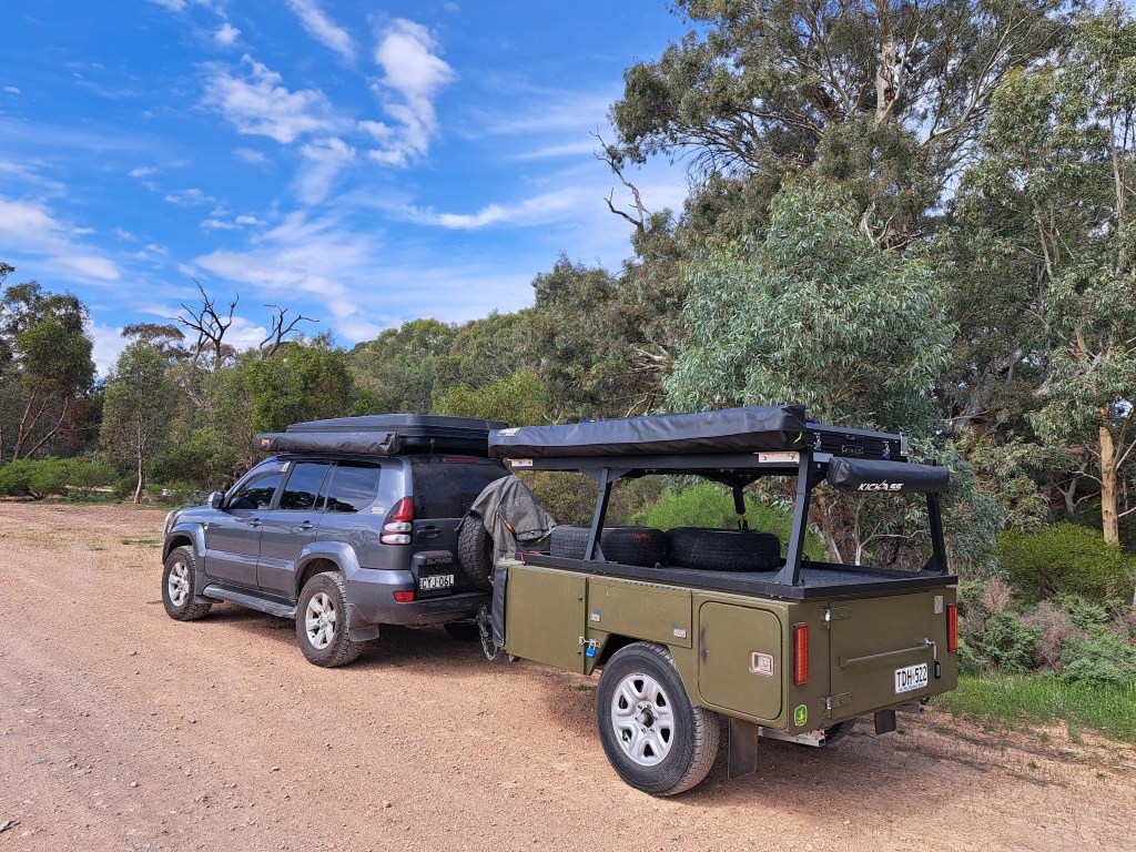
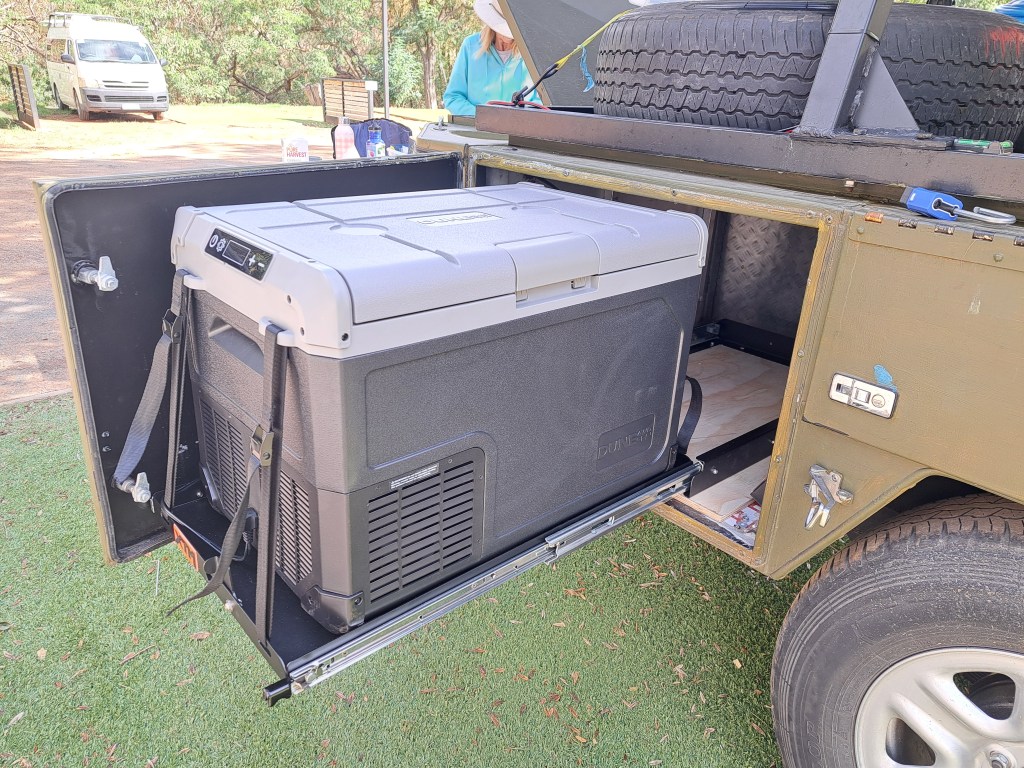
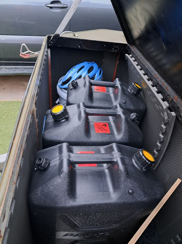
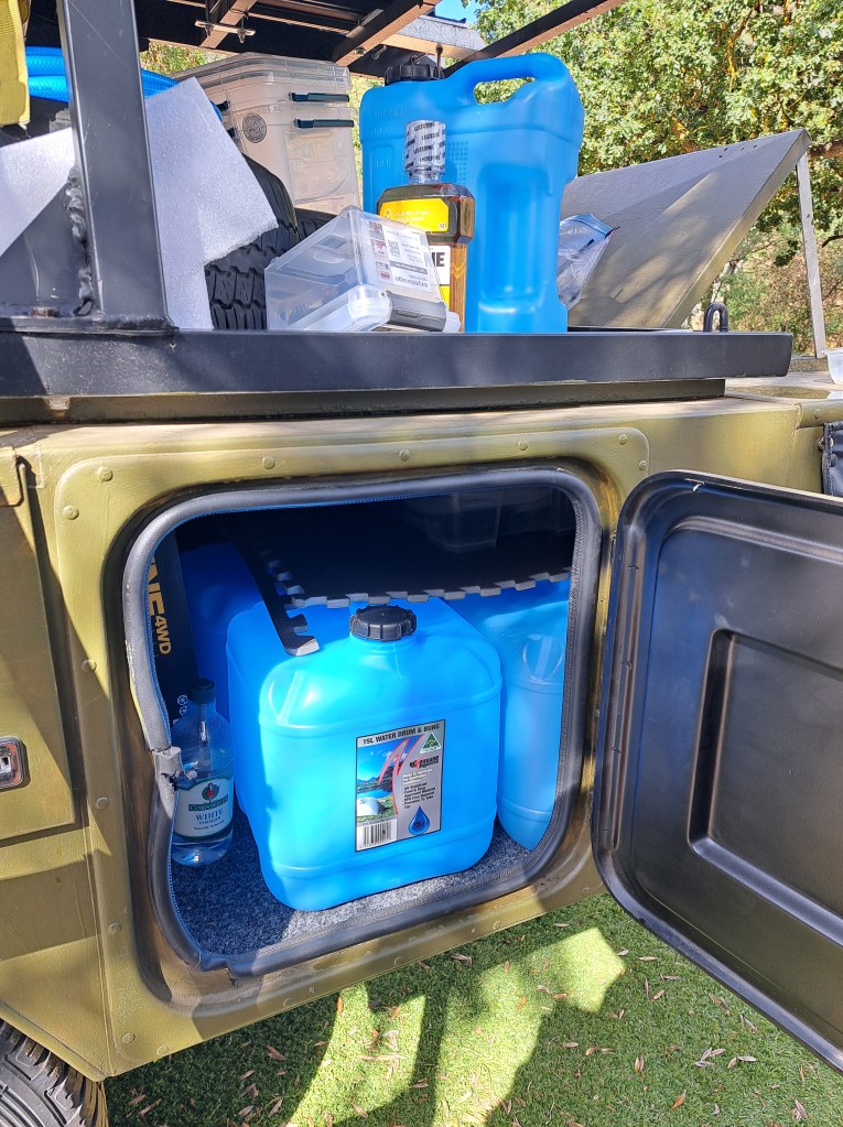
The trailer is mostly lockable storage and a rooftop tent that is much more comfortable than what came with the Prado. We wanted more space to be able to stock up for the outback and to be able to carry more fuel and water. I spent time adding a fridge and fridge slide, a battery kit and solar panel to run the fridge.
We stayed at a lovely caravan park in a narrow canyon of Brownhill Creek.
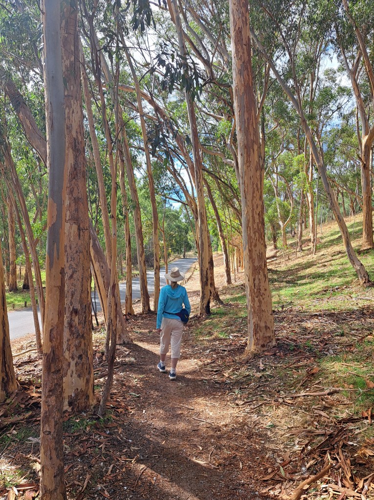
We took walks in the neighborhood as well as up the canyon.
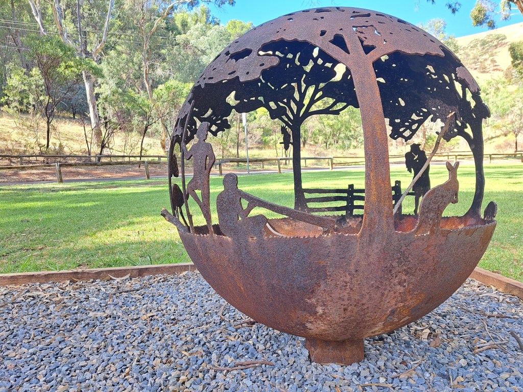
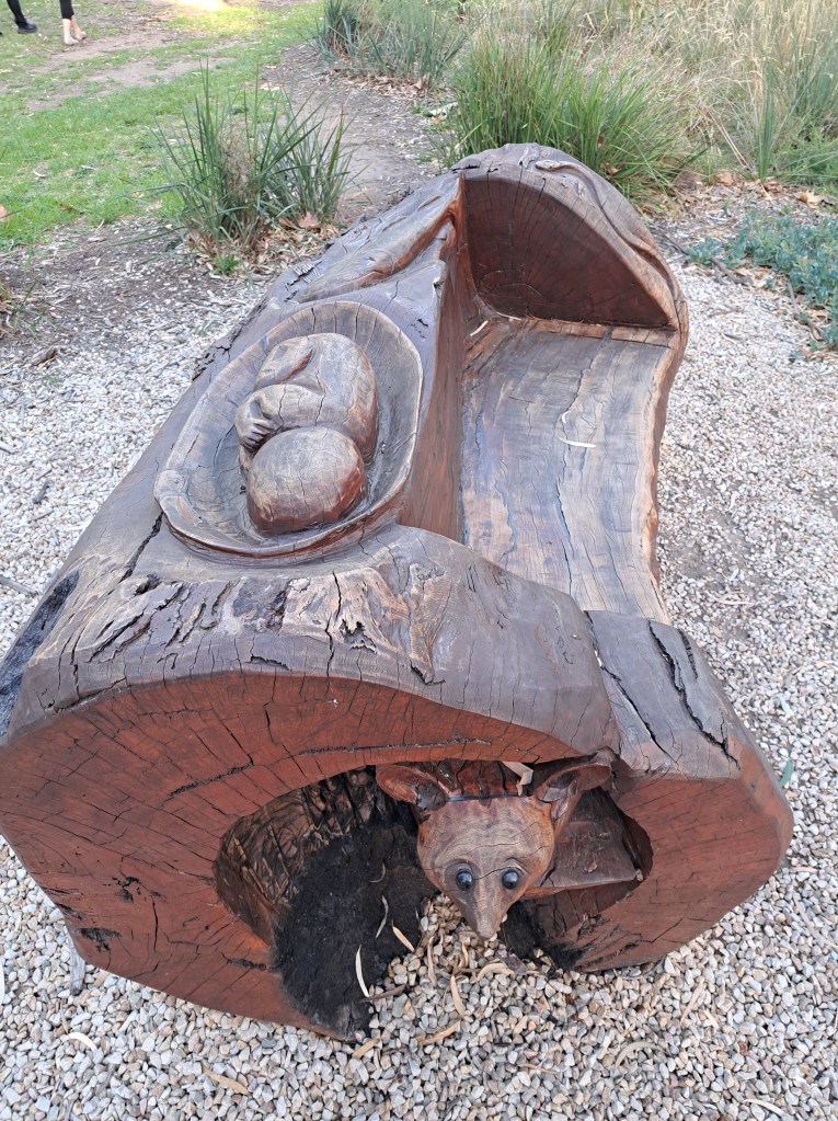
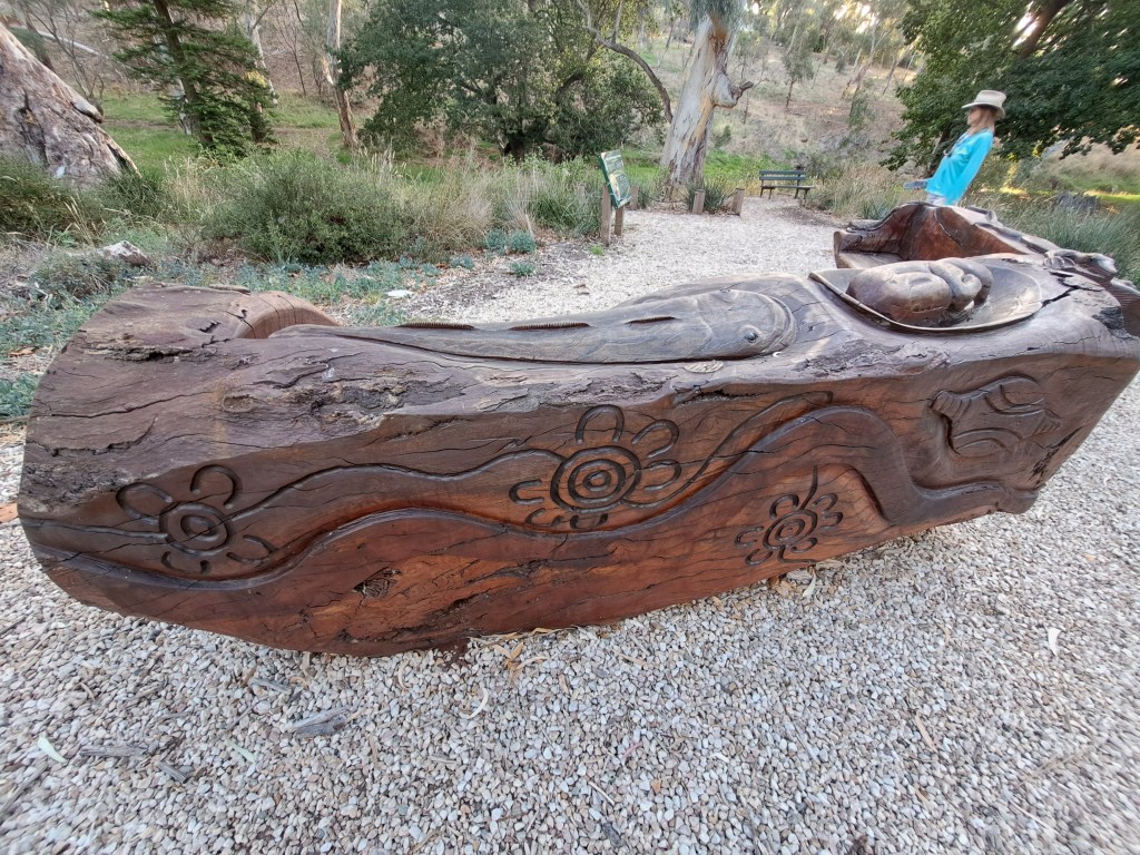
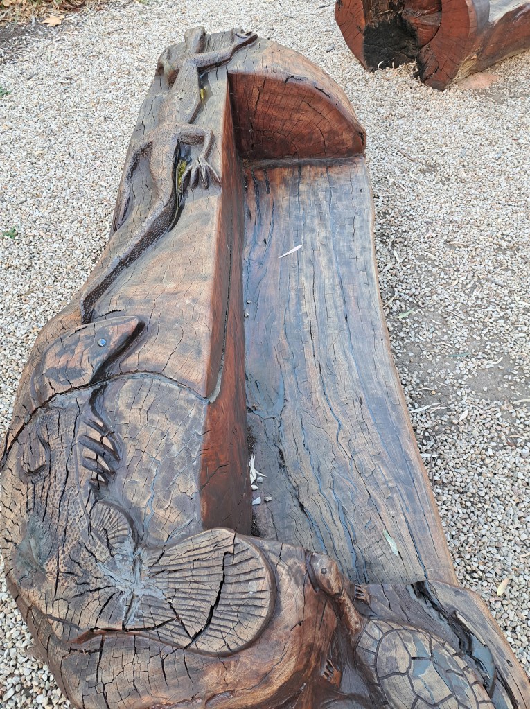
There were beautifully carved benches that were just outside the park with native fauna carved on the solid log benches.
We took an evening drive out to the beaches south of downtown. It was calm, with small wavelets and a nice place to wade in the water one last time before heading in to the outback.
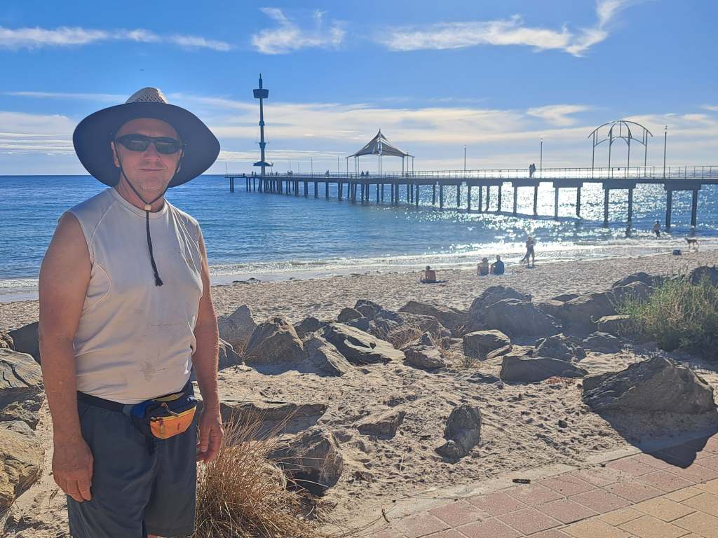
There was an interesting memorial with names of those whose ashes were scattered at sea. It provided a place for loved ones to visit as there is no burial plot.
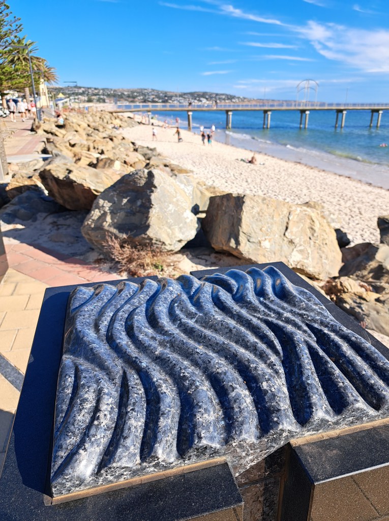
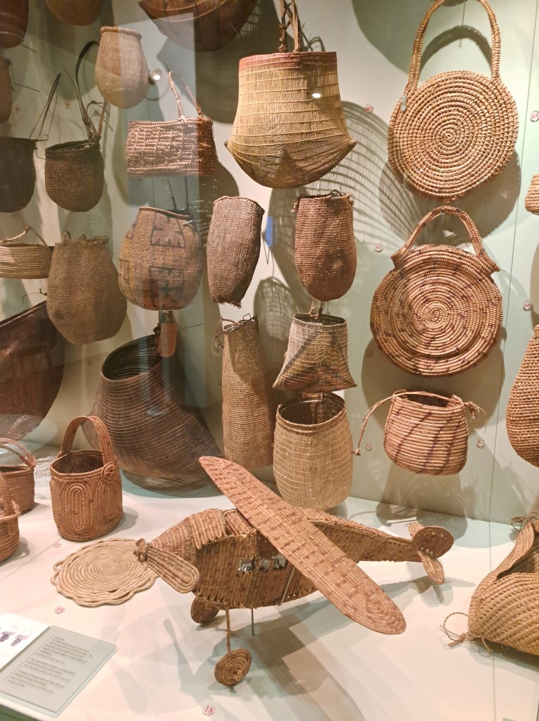
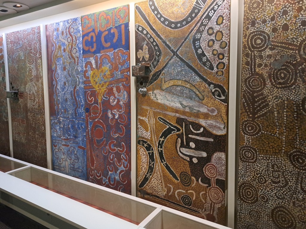
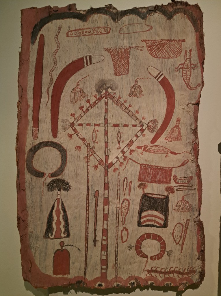
We also took a day to see the city, and spent a good part of it exploring the South Australia Museum. Entry was free and they hold the largest collection of aboriginal artifacts in the country.
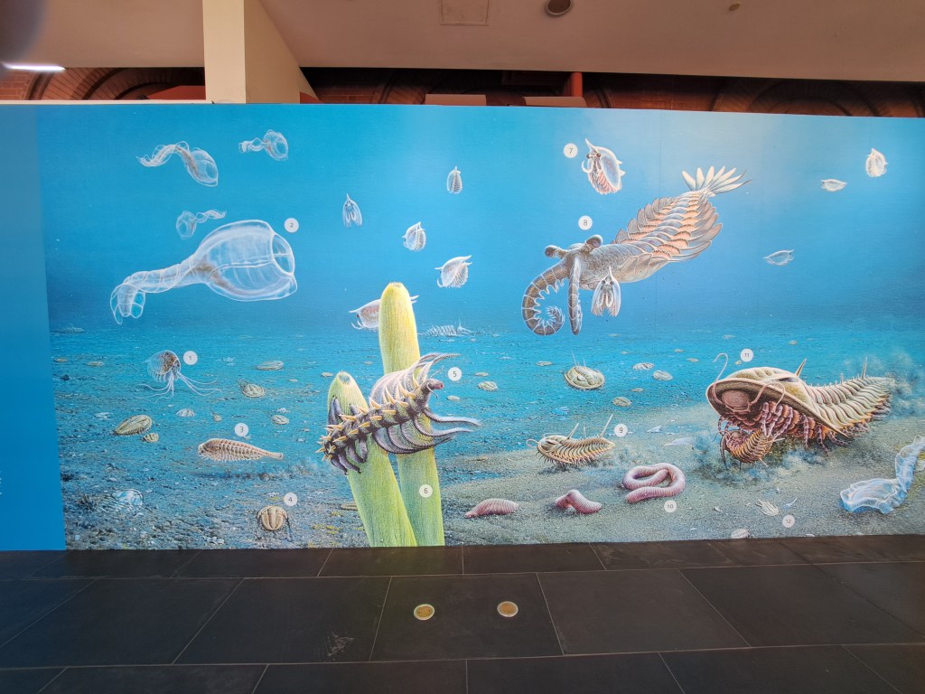
There was also a collection of Ediacharin fossils. We plan to visit mountains where we hope to see them in situ. These are the earliest known marine animals, from about 600 million years ago.
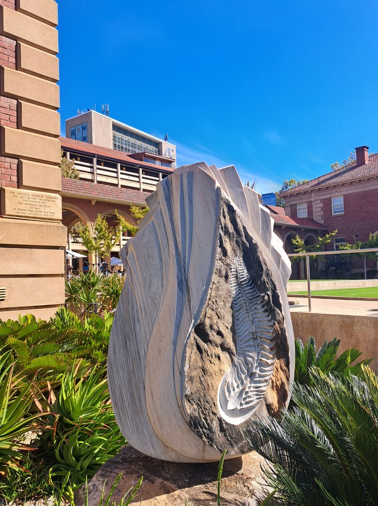
There were interesting sculptures and murals all over.
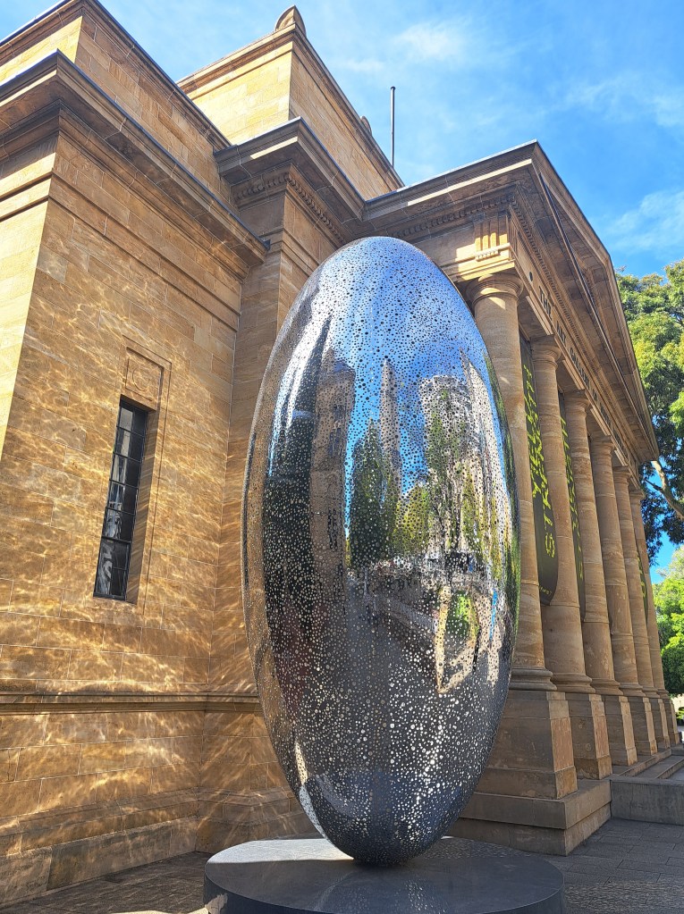
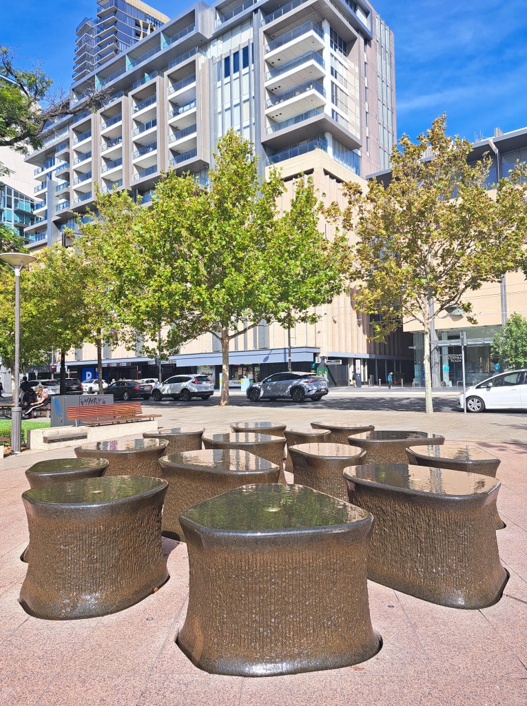
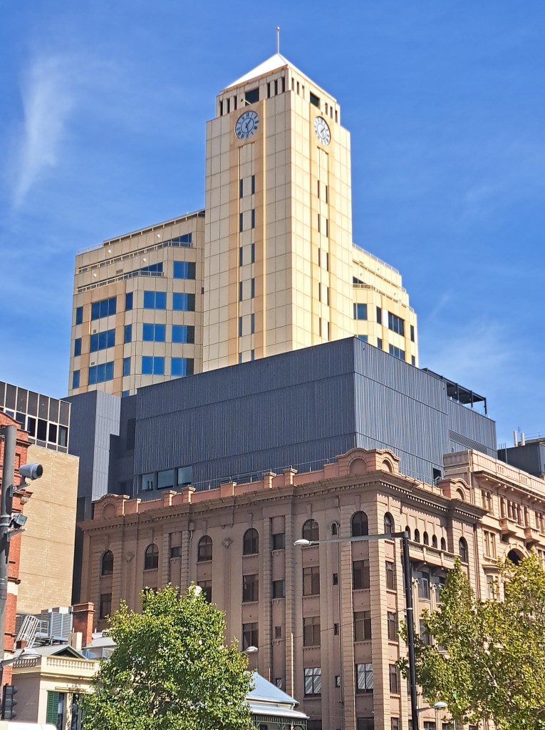
We walked around the area looking at the architecture.
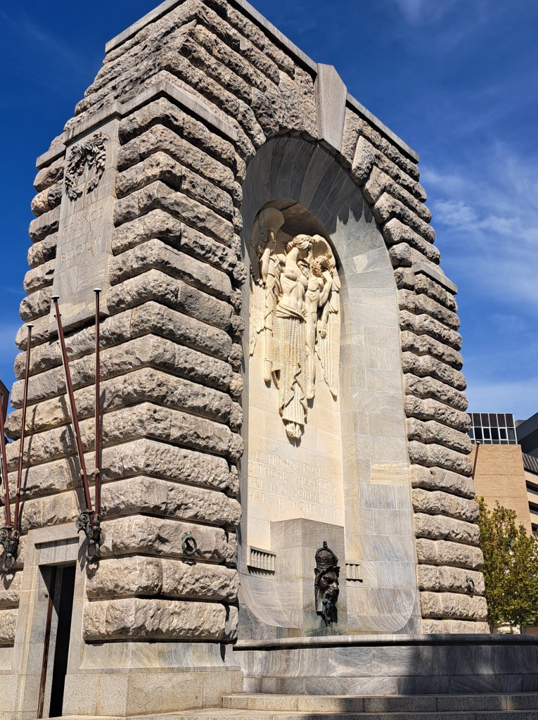
No Australian city would be complete without a war memorial. You will find one in every town, no matter how small.
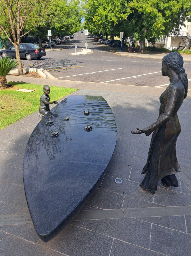
There was a moving memorial to the Vietnamese boat people in a park along the river.
Adelaide is known as the city of churches and St. Peter’s Cathedral did not disappoint.
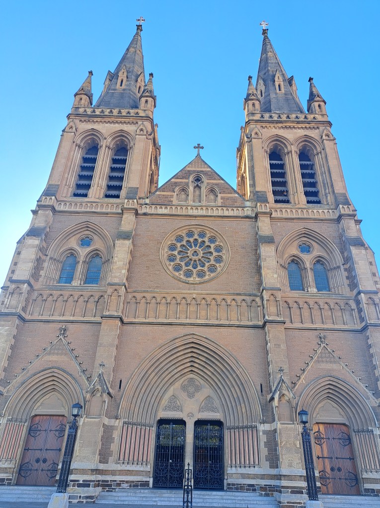
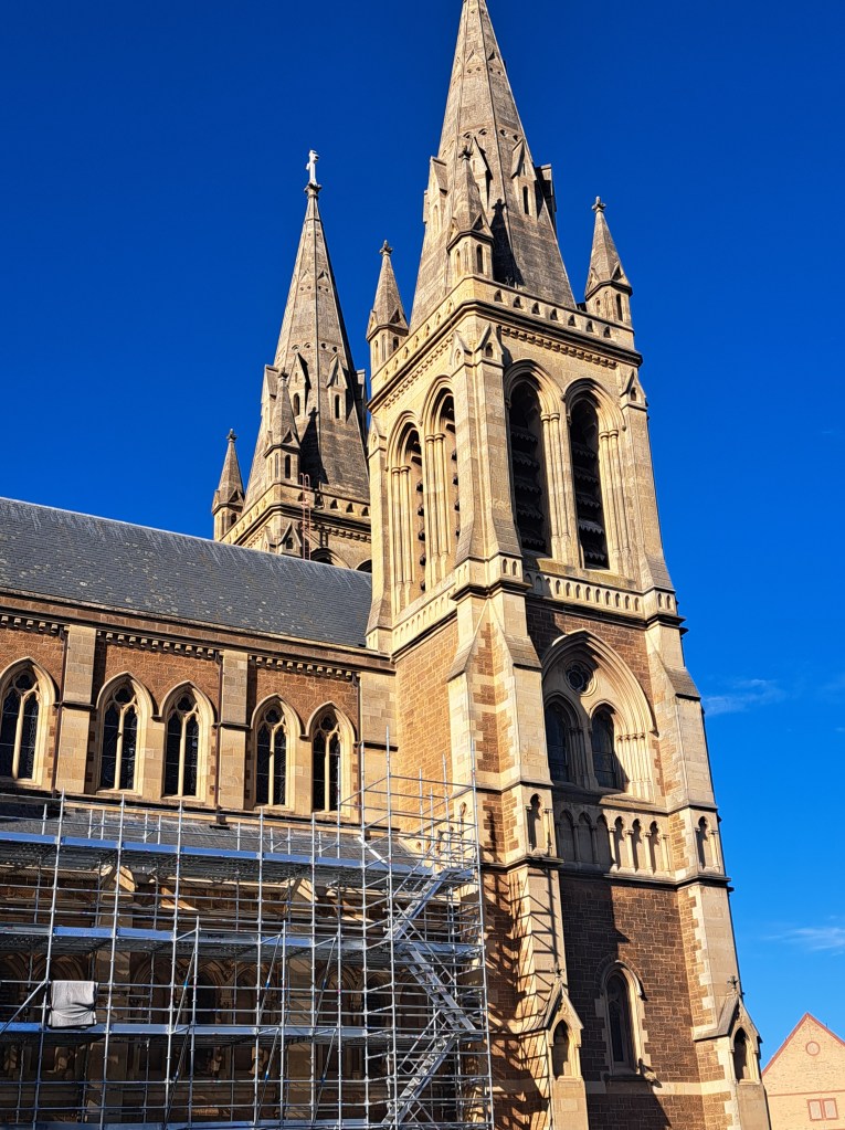
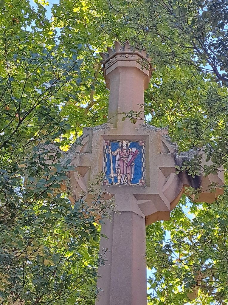
We learned that easter here is a big event, mainly because they have easter Monday off and many shops are also closed for good Friday. And that long weekend means everyone goes camping!
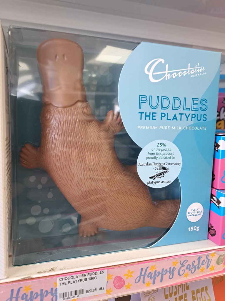
Part of the consideration moving forward to do with the war and likelihood of fuel shortages affecting the rest of our trip. Diesel prices have doubled since last month to about $3 per liter, and some servos were running dry. Things seem to have stabilized a bit, so we’ll be having a good of it and see what happens. Fortunately our tank has a range of about 600 miles and keeping it topped up means we have enough for an escape route if need be.
Flinders Ranges
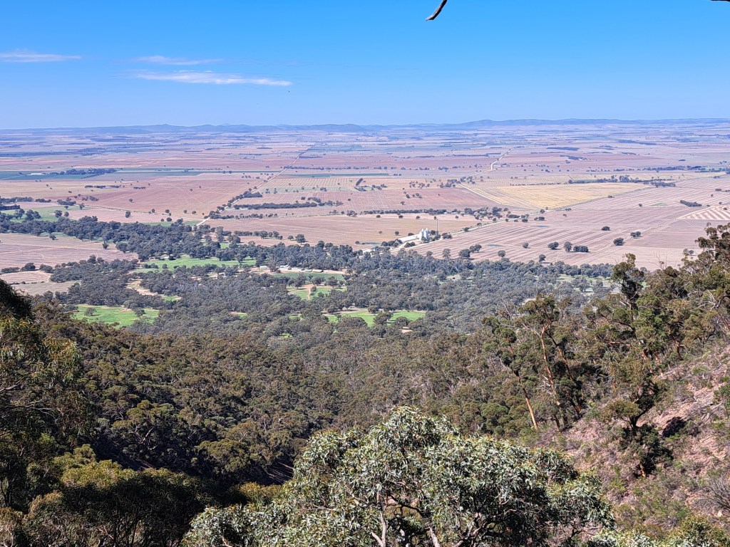
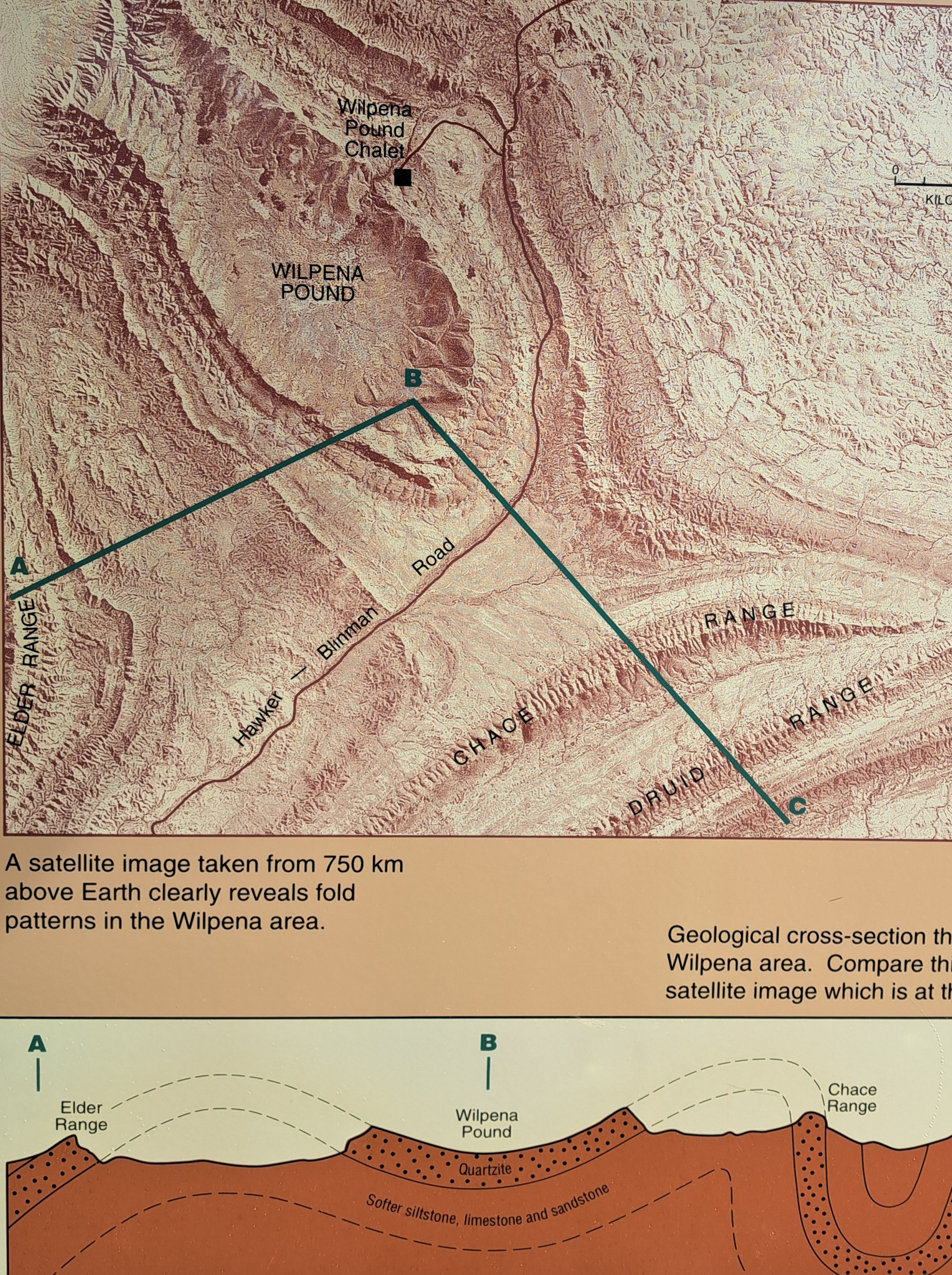
The Flinders Ranges are a series of north-south trending mountains that are made up of tilted and folded sedimentary rocks. We started off in the southern end near Melrose, South Australia.
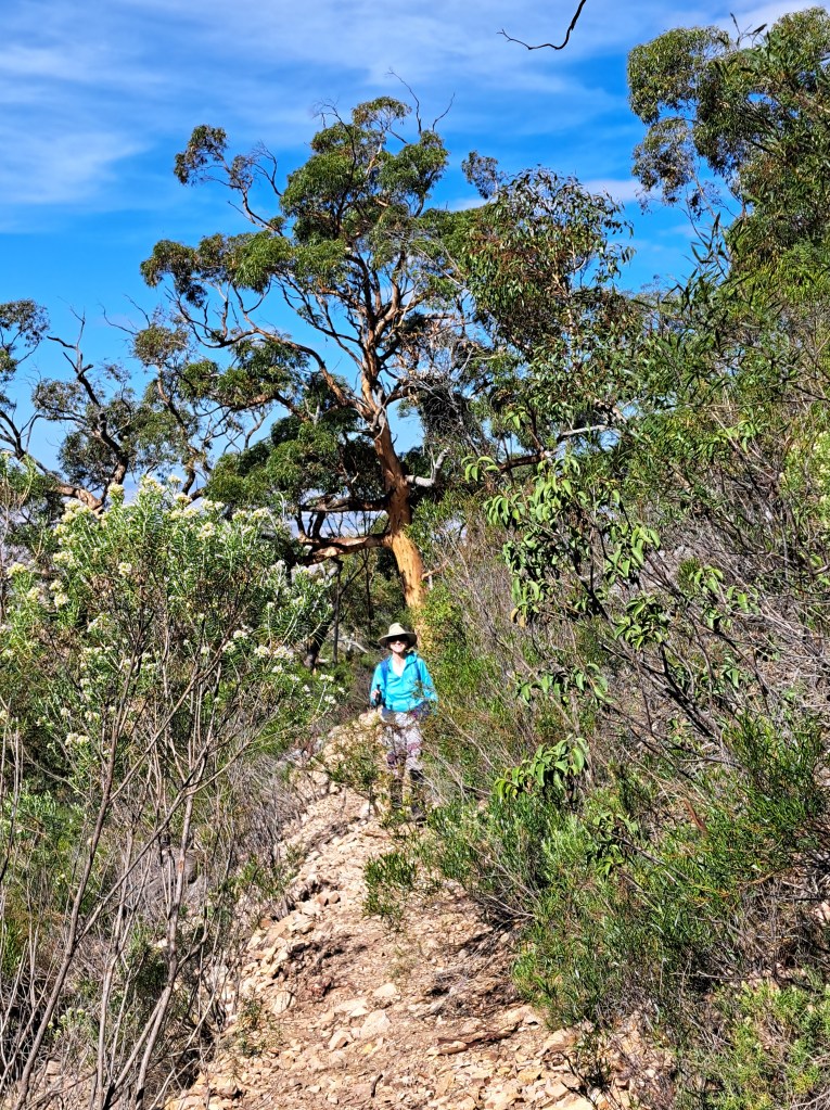
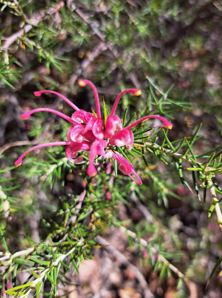
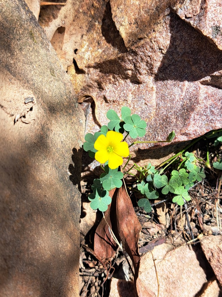
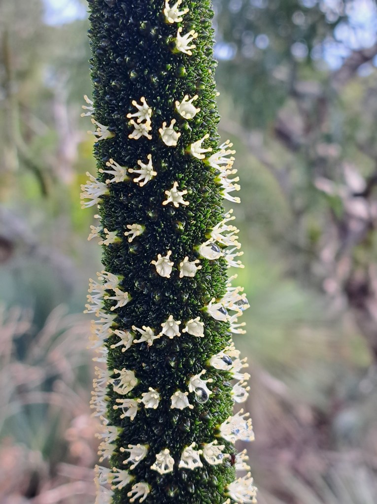
We took a hike up Mount Remarkable and enjoyed the views of expansive fields in the distance. We spotted several flowering plants.
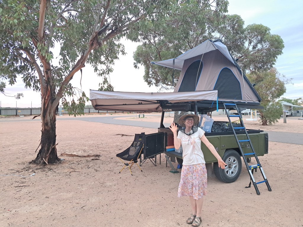
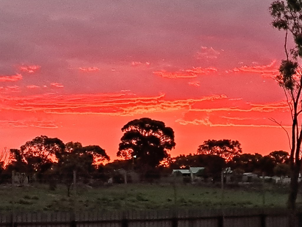
From Melrose we drove.to Port Augusta for two nights (everyone here camps Easter weekend, which is a four day long holiday). We were scheduled for new tires for our trailer first thing Tuesday morning.
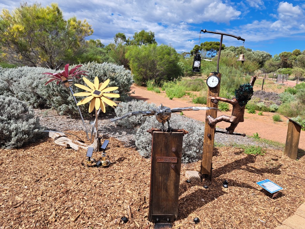
In the meantime we explored the Arid.Lands Botanical Garden in town.
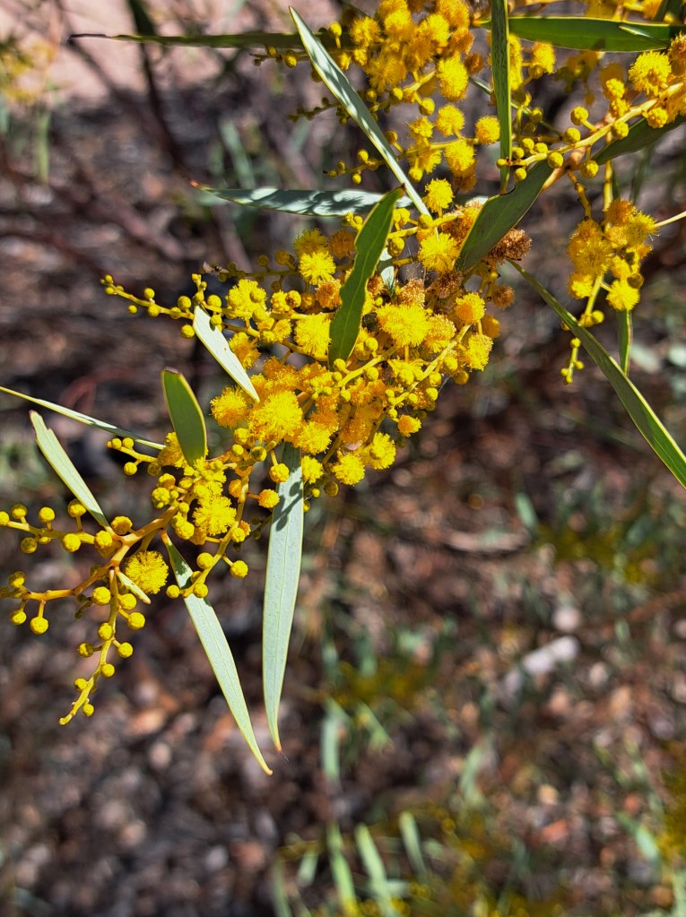
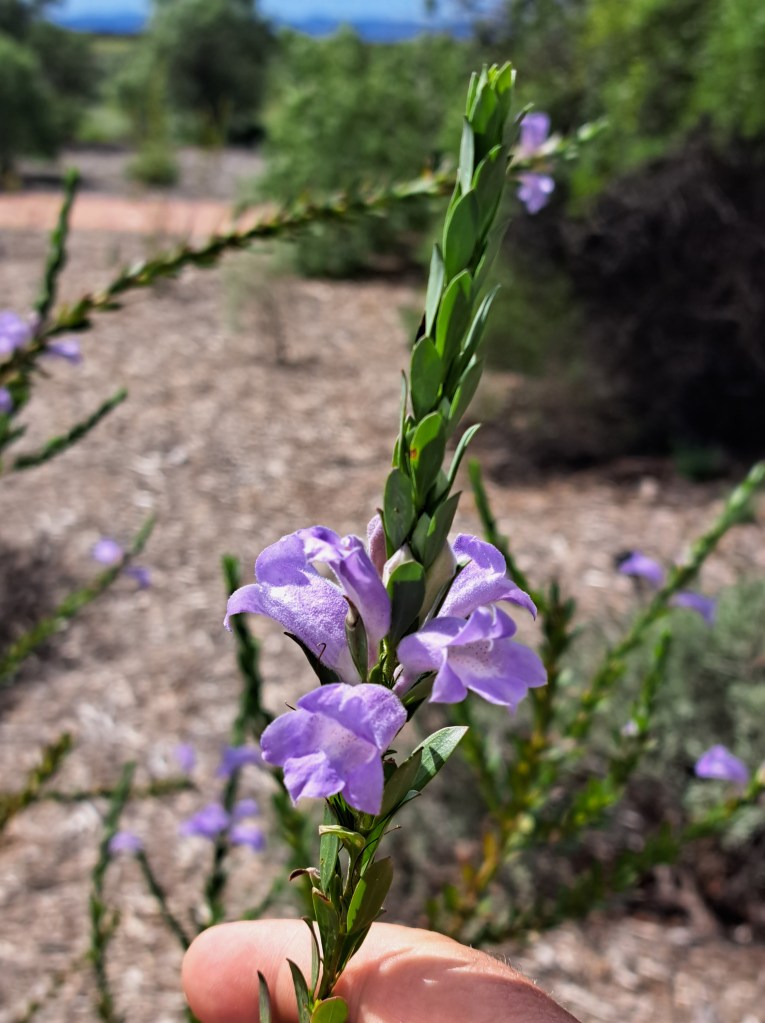
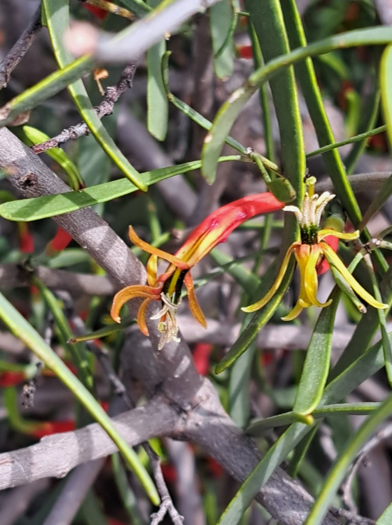
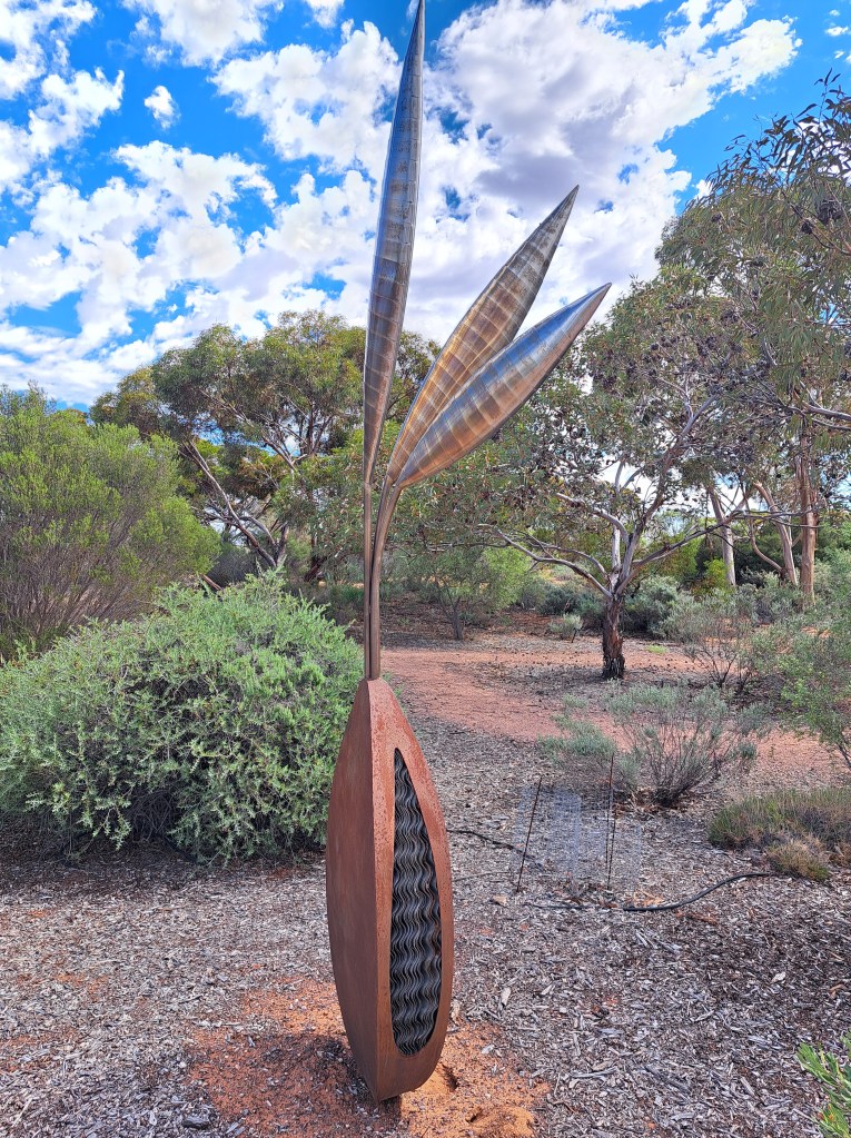
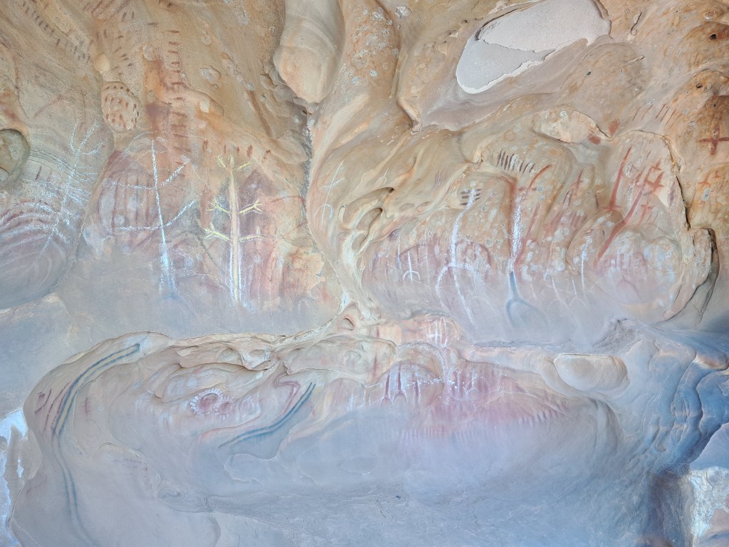
We left Port Tuesday morning and heading to Wilpena Pound campground. On the way we walked to Arkaroo rock shelter, an important aboriginal rock art site.
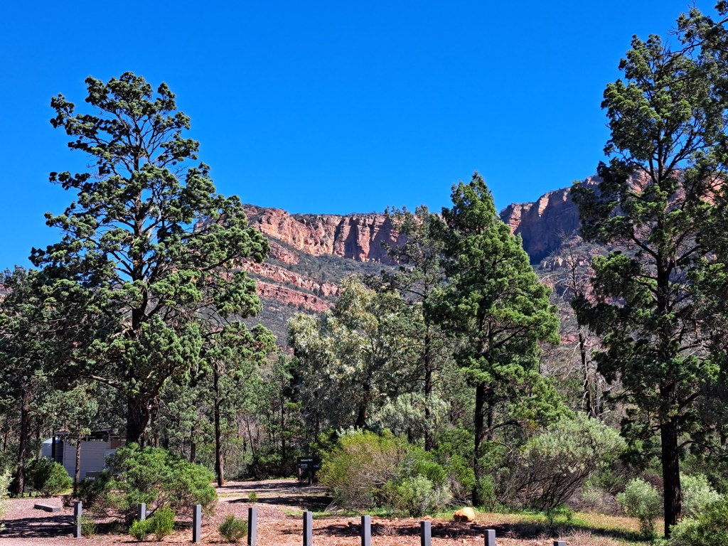
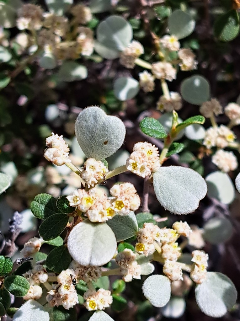
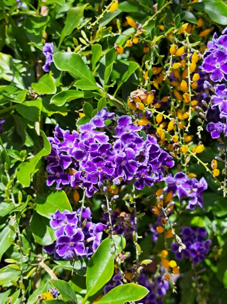
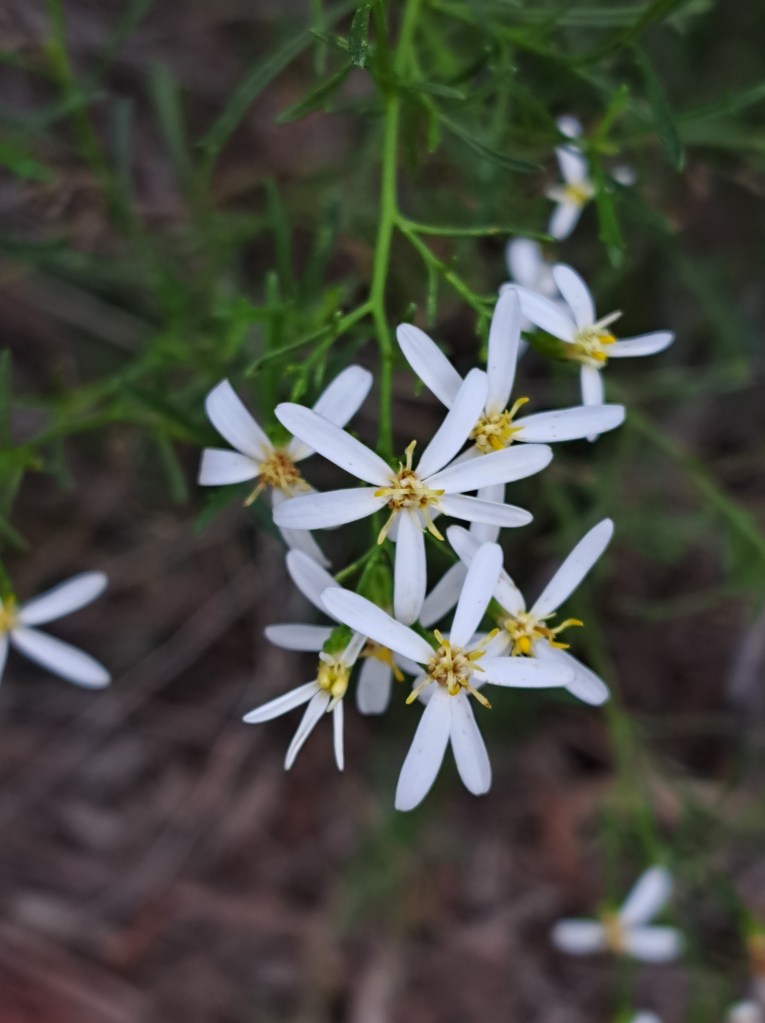
We met some new plants along the way…
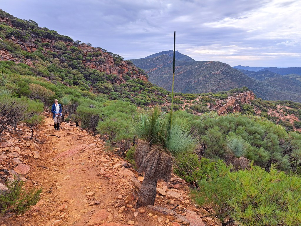
From our camp at Wilpena Pound we spent a warm blustery afternoon climbing Mount Ohlssen Bagge for a view into the Pound.
Wilpena Pound is a basin bounded by folded layers of sedimentary rock in the form.of a giant fold. While best appreciated from the air, we had a commanding view from the top.
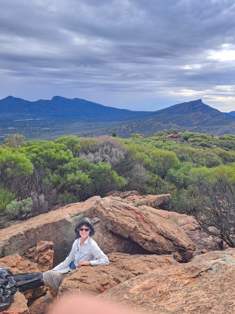
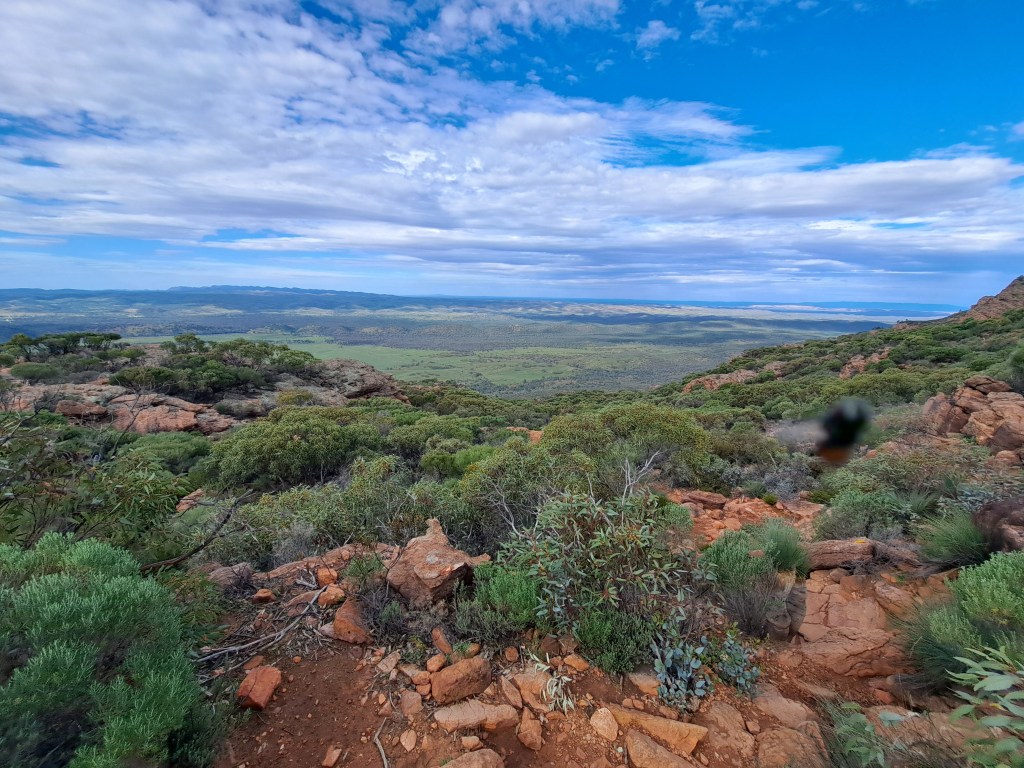
This area is normally ver6 arid,though this year they received more than 200mm of rain in recent weeks. Everything was green and blooming, and the showers accompanying our hike brought out fragrances from the plants along the way.
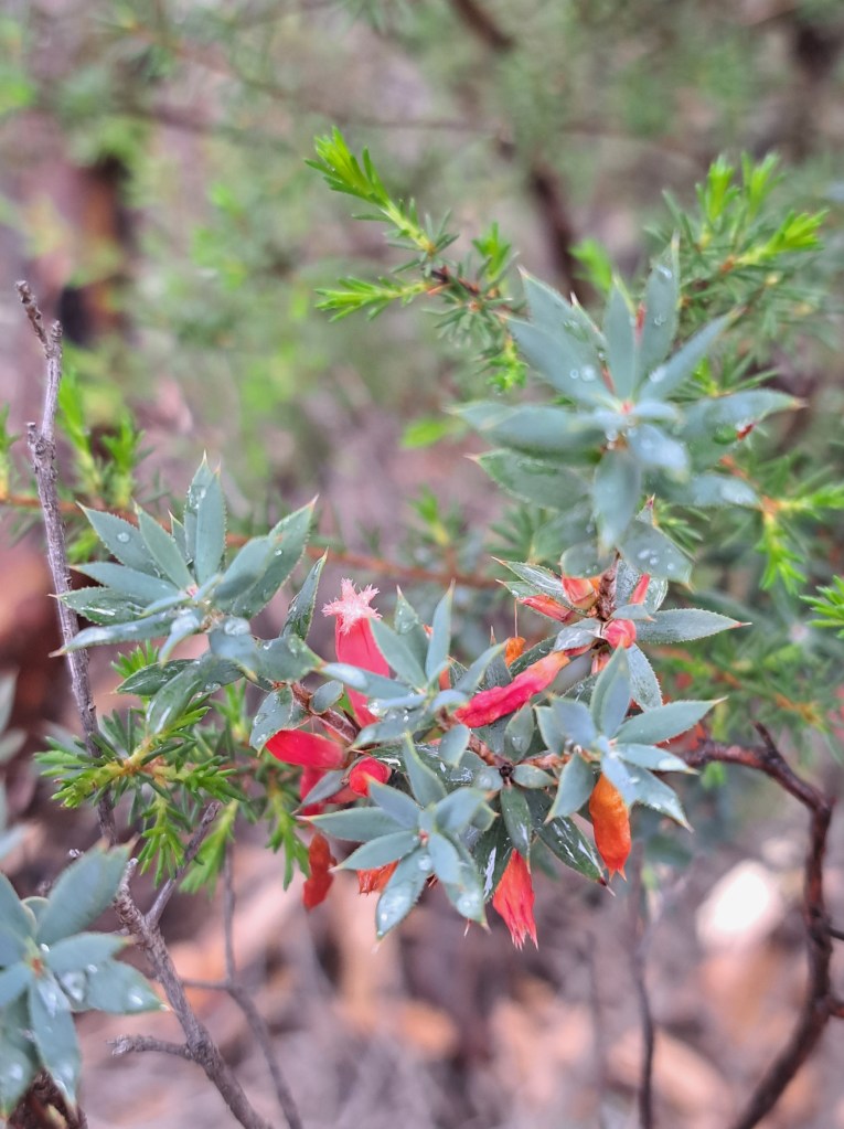
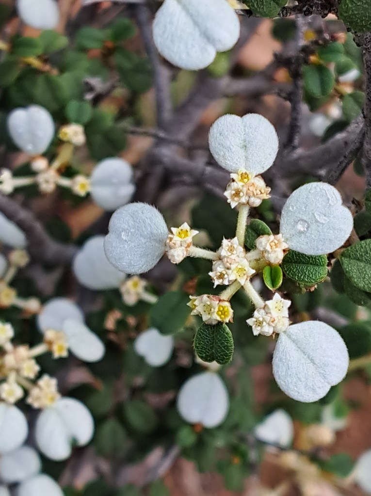
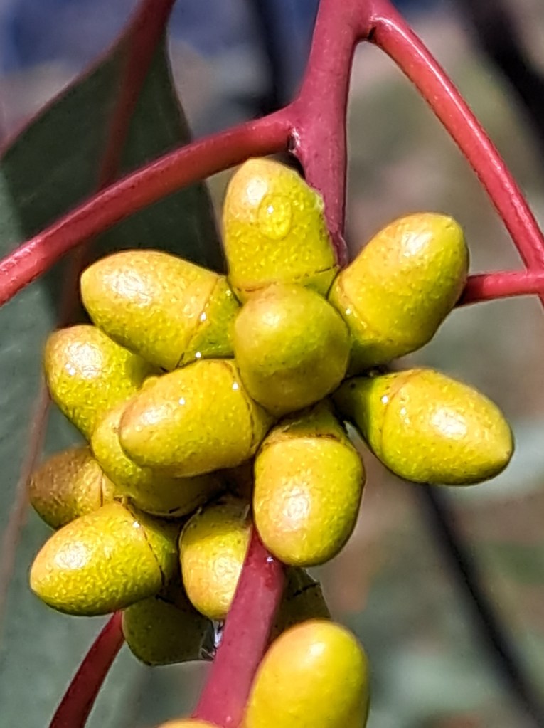
One by product of all the moisture was an abundance of flies. Fortunately most do not bite and we had head nets!
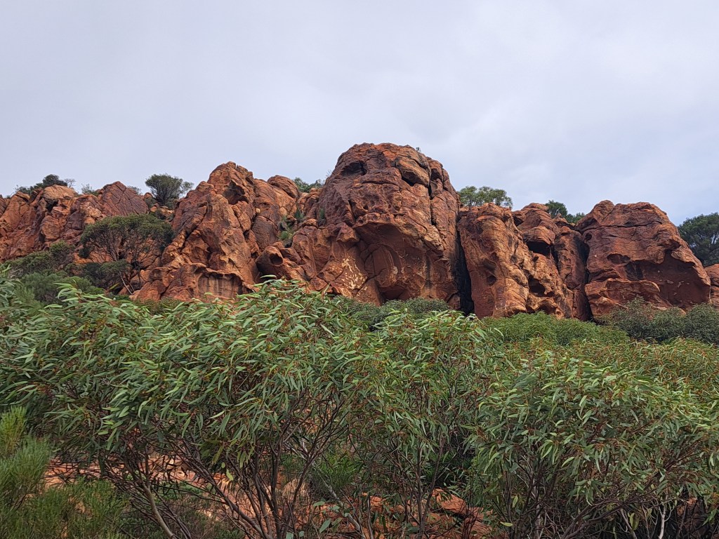
From Wilpena camp we traveled north to a simpler camp along the Brachina Gorge road. There were only a few other campers and it was quiet.
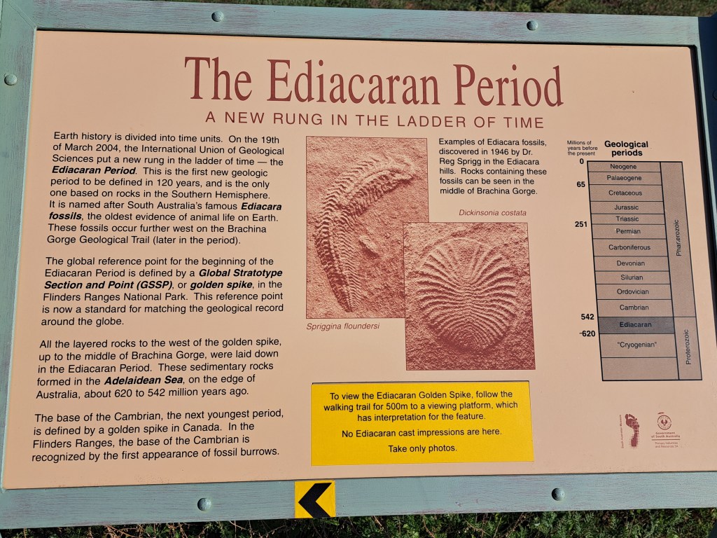
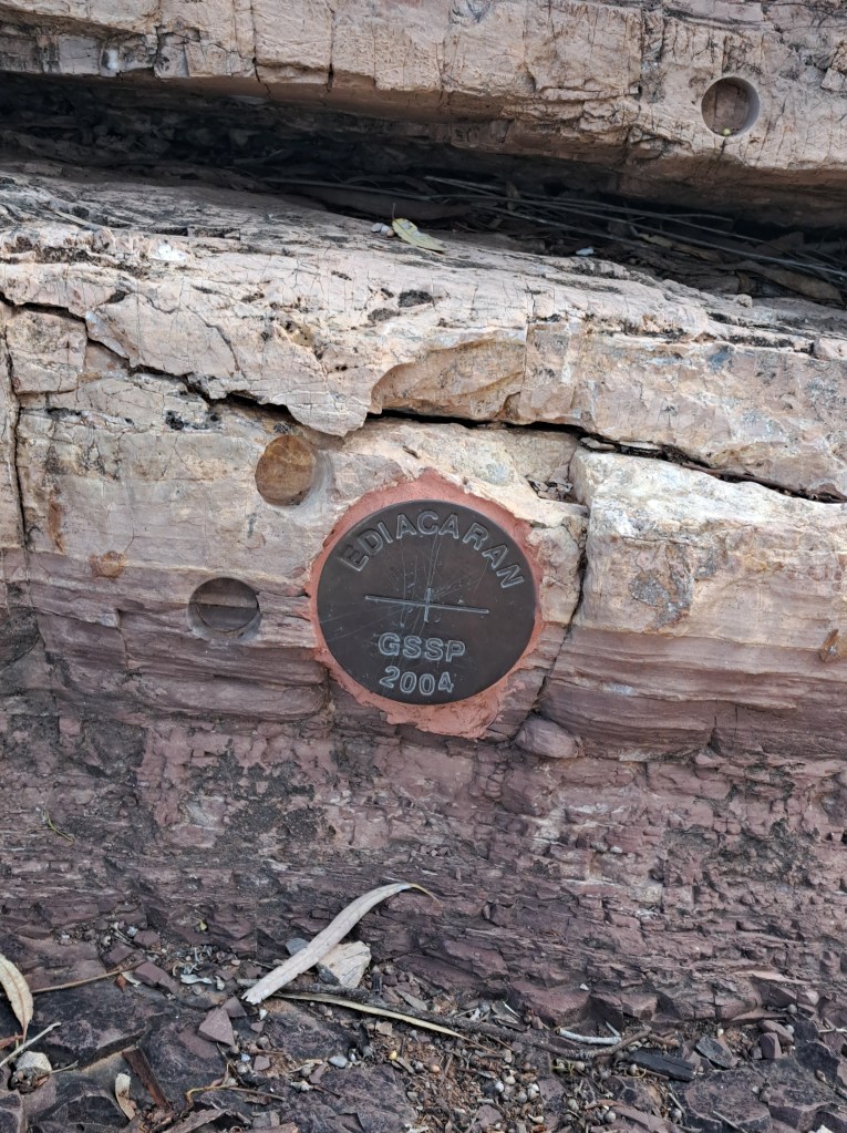
One reason to camp there was the proximity of the golden spike, which is the internationally agreed upon marker for the geological boundary of the Ediacharin. This time boundary represents the earliest fossils of complex life.
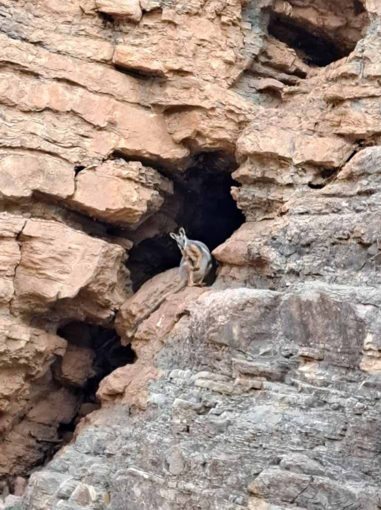
We had an evening stroll up the creek by camp to look at rocks and saw a couple of yellow footed rock wallabies.
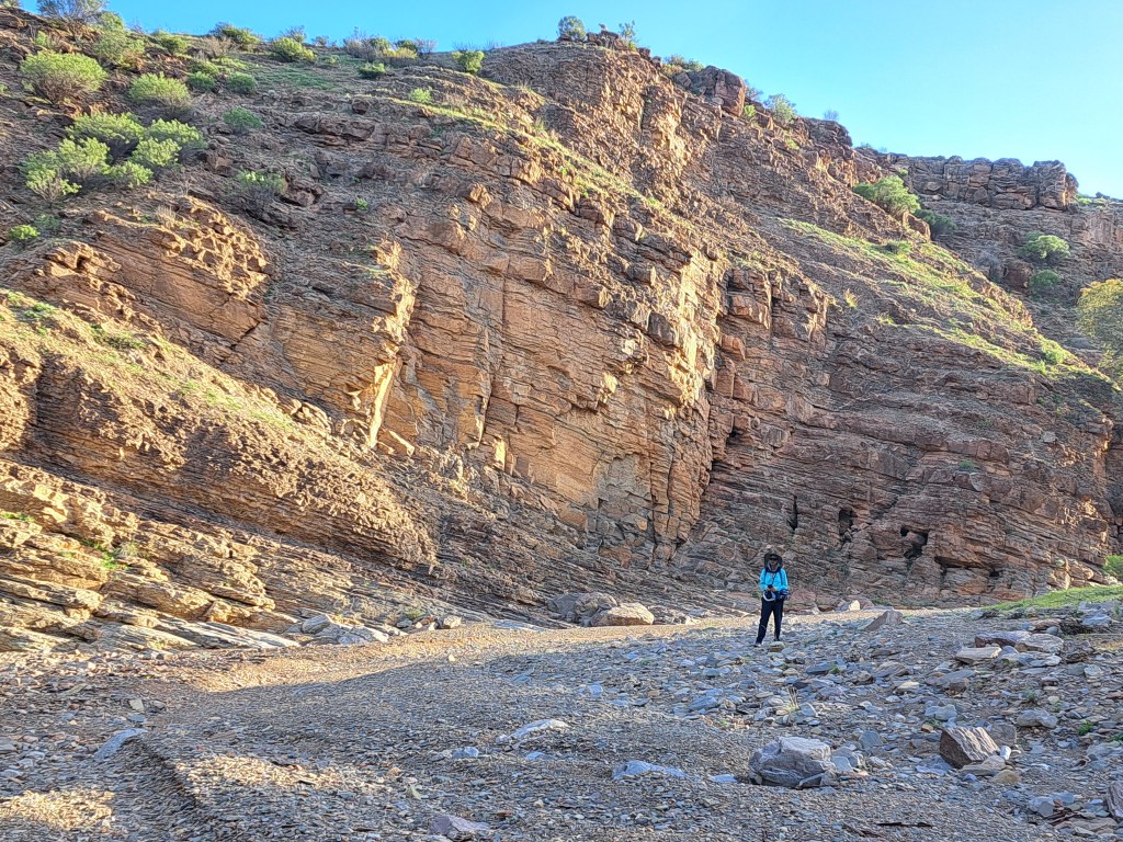
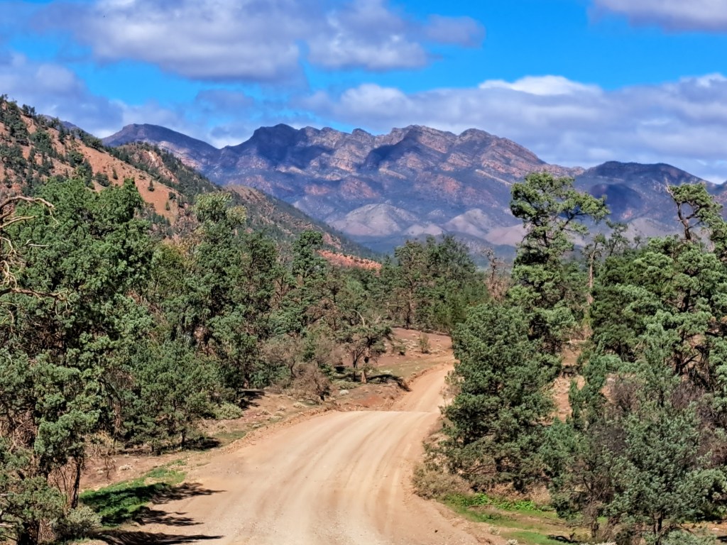
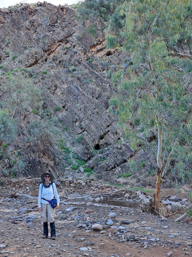
We drove to Bunyeroo Gorge for a hike through geologic time the next day. There was water in this creek, thanks to all the rain that fell recently.
Our last step was the newly created Nilpena Ediacara National Park. The site was created to preserve and showcase fossils of the earliest Ediacara age some 600 million years ago.
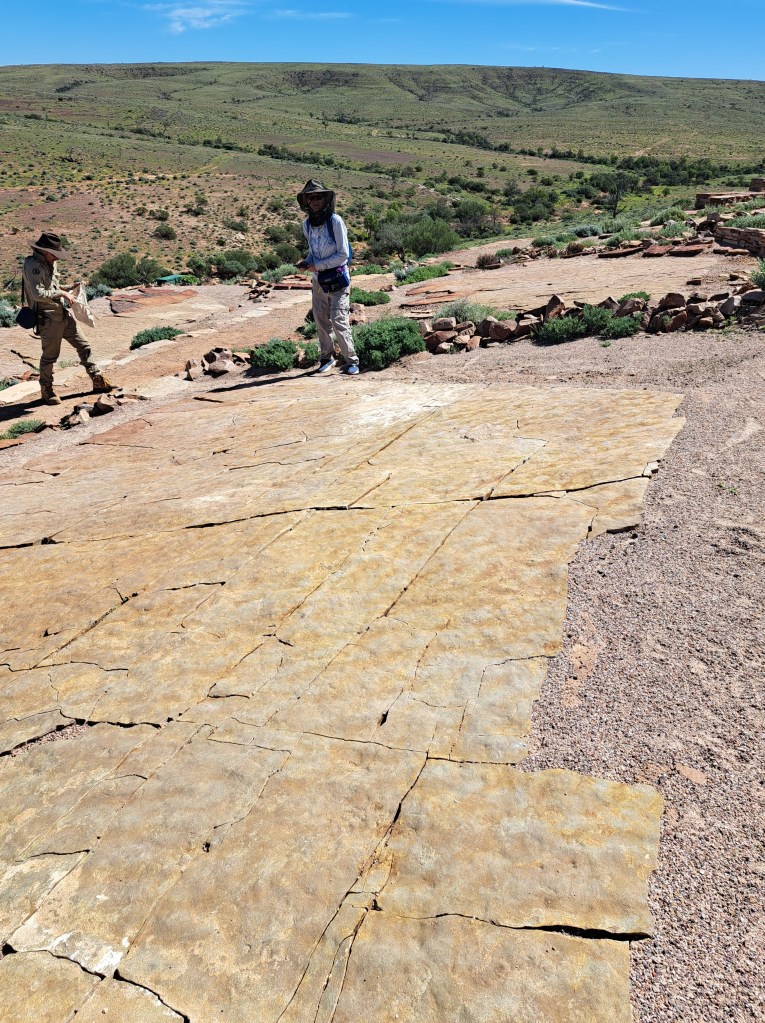
We took a tour which included a visit to the fossil beds where the Ediacara fauna were first discovered. It was amazing to see the fossils of the earliest complex life where they were discovered.
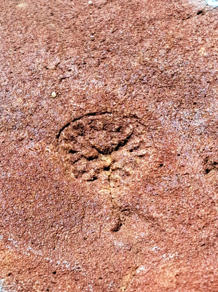
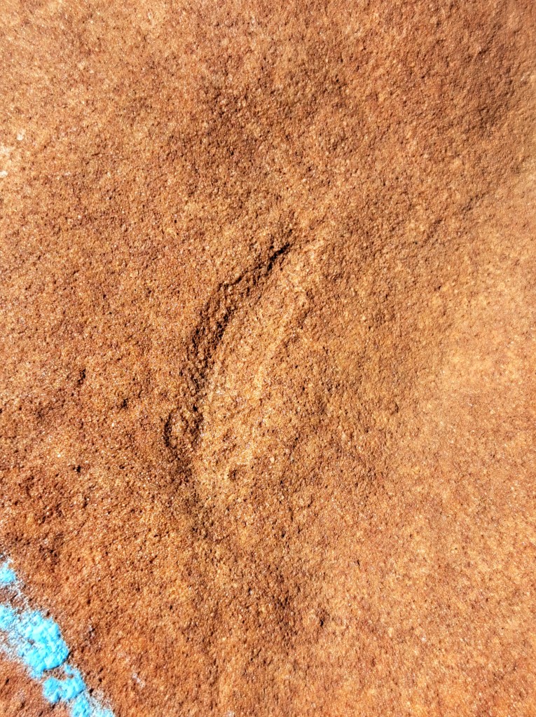
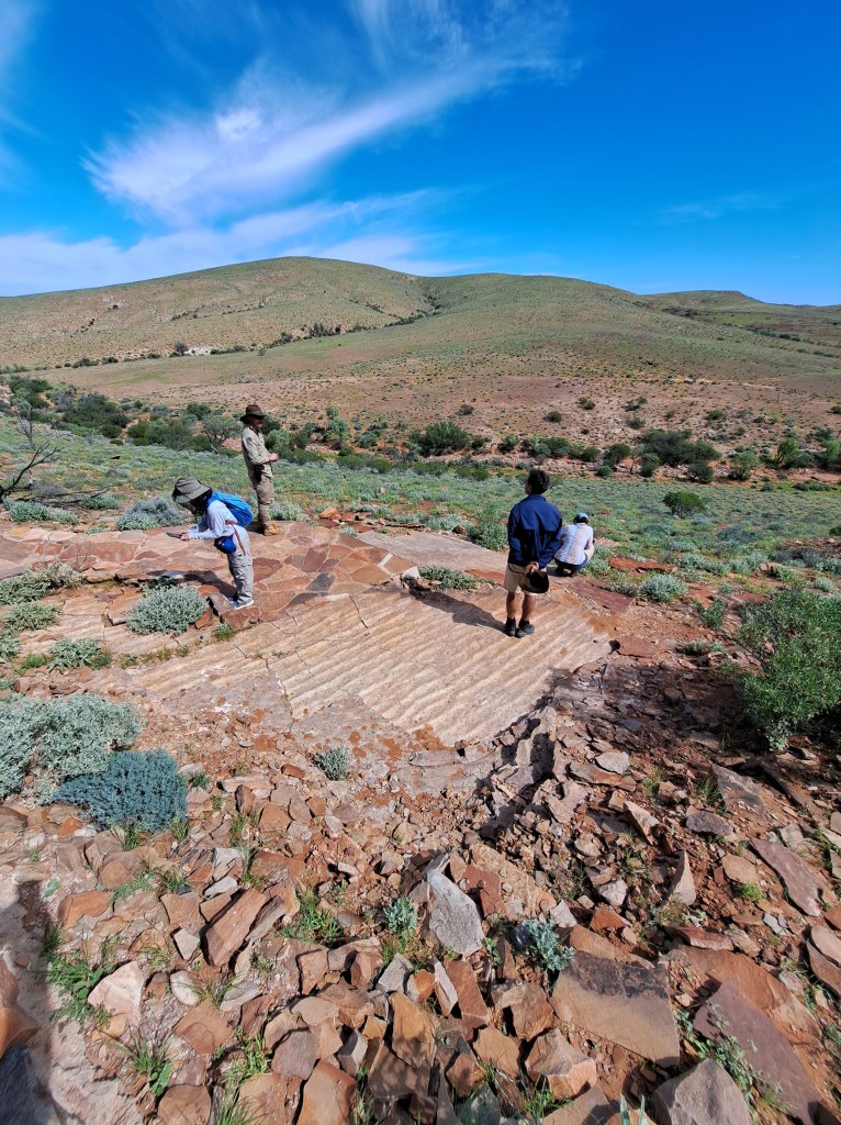
From here we drove back to Port Augusta for the night. The next morning we left the coastline behind and headed north on the Stuart Highway…
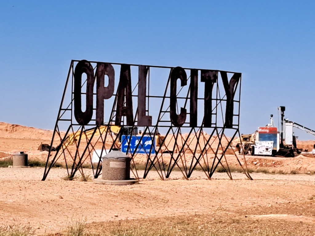
Coober Pedy
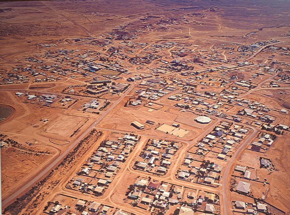
Is a small town in the north of South Australia where summer temperatures can regularly exceed 40 degrees C. It is famous for opals, and miners have been sinking shafts here for over a hundred years.
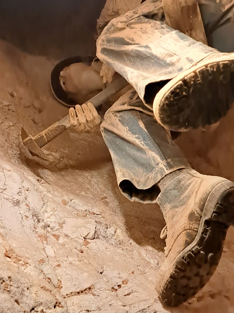
Early opal miners used hand tools to dig holes straight down into the ancient sea bed. They often lived in dugout at the mines due to the high temperatures and lack of building materials.
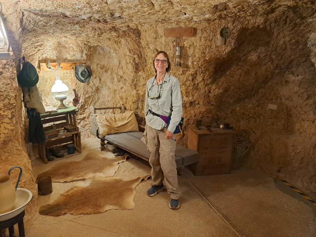
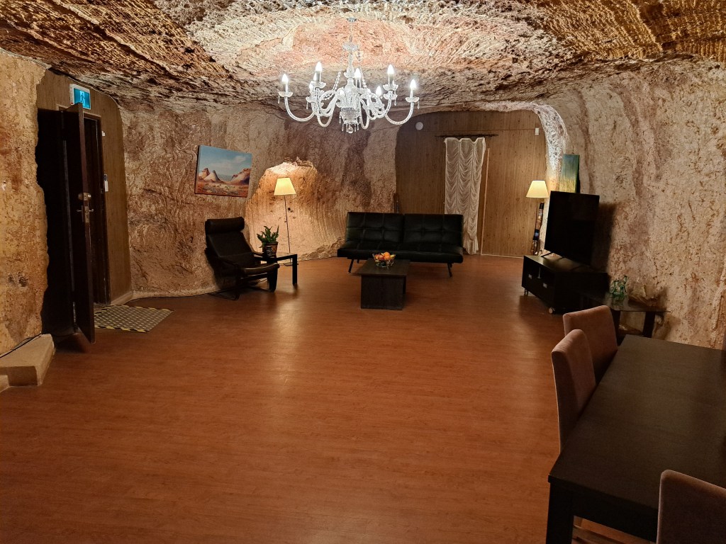
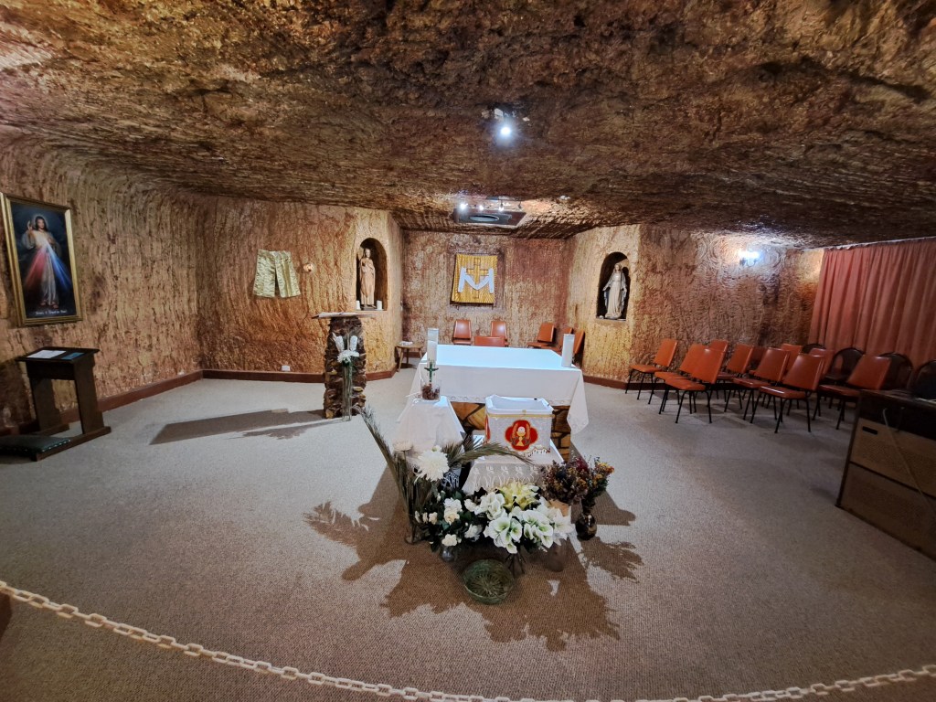
A lot of the town including bars, hotels and even churches are built in underground excavations as well.
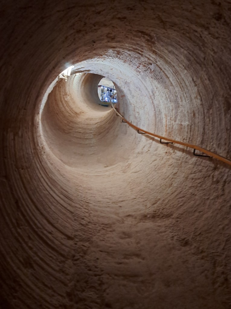
Modern mining techniques use mechanical tunnel boring machines, blowers and knoodling machines.
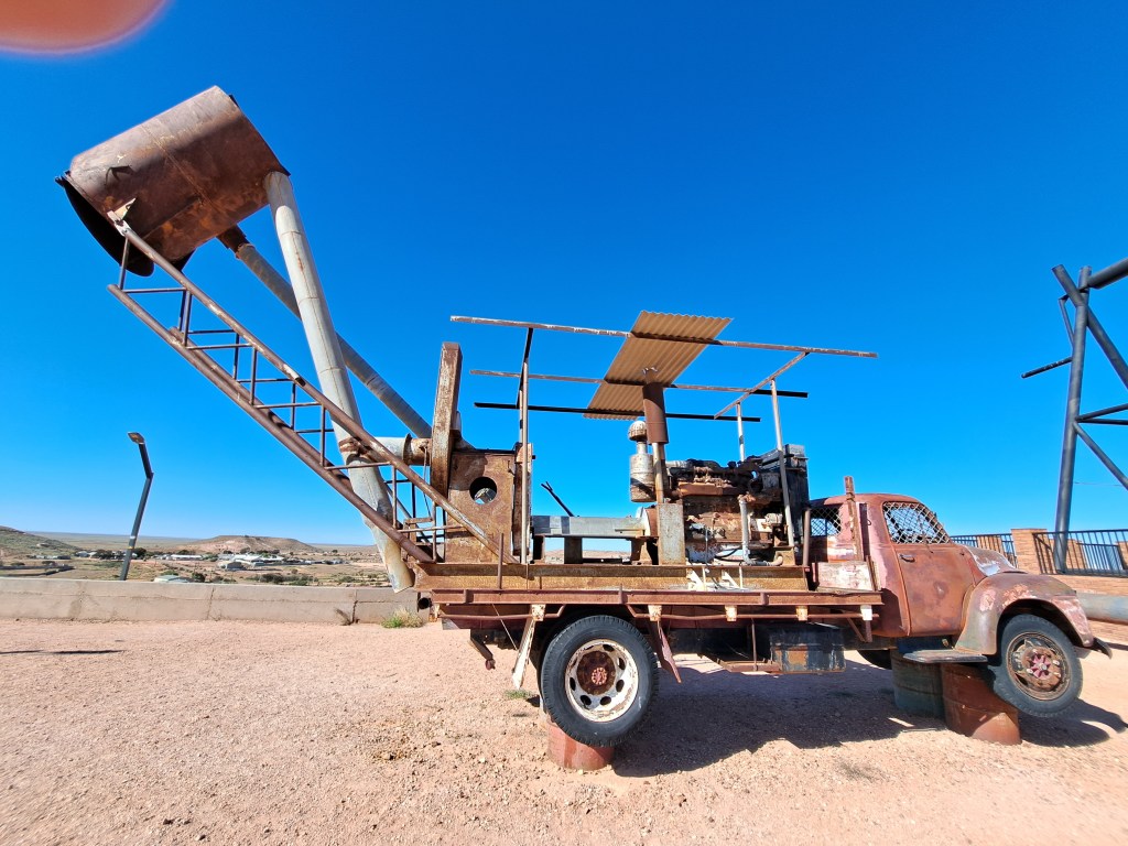
The above photo is a blower, essentially a large engine that powers a suction hose that vacuums up materials from down hole into the metal drum. This is a much more efficient way to remove waste rock. Every so often the can is emptied into small conical piles which dot the landscape.
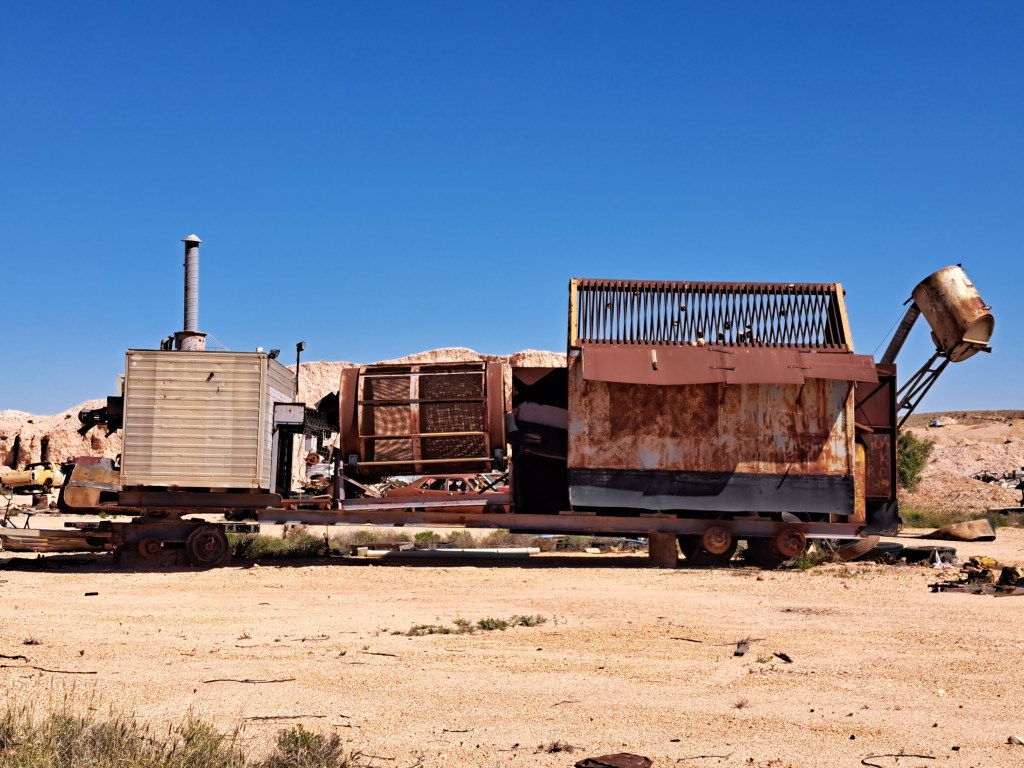
The above photo is a knoodling machine. Material is sorted by size on the right, passes along a conveyor and sorter into the enclosed room at the left end. The box at the left end has a UV light (black light) which causes the opal passing by on the conveyor to fluoresce. Pickers in the box select opals and the rest moves out the end into a dump pile. Opals picked are later evaluated.
Being an ancient sea bed, some of the opal has replaced fossil remains.
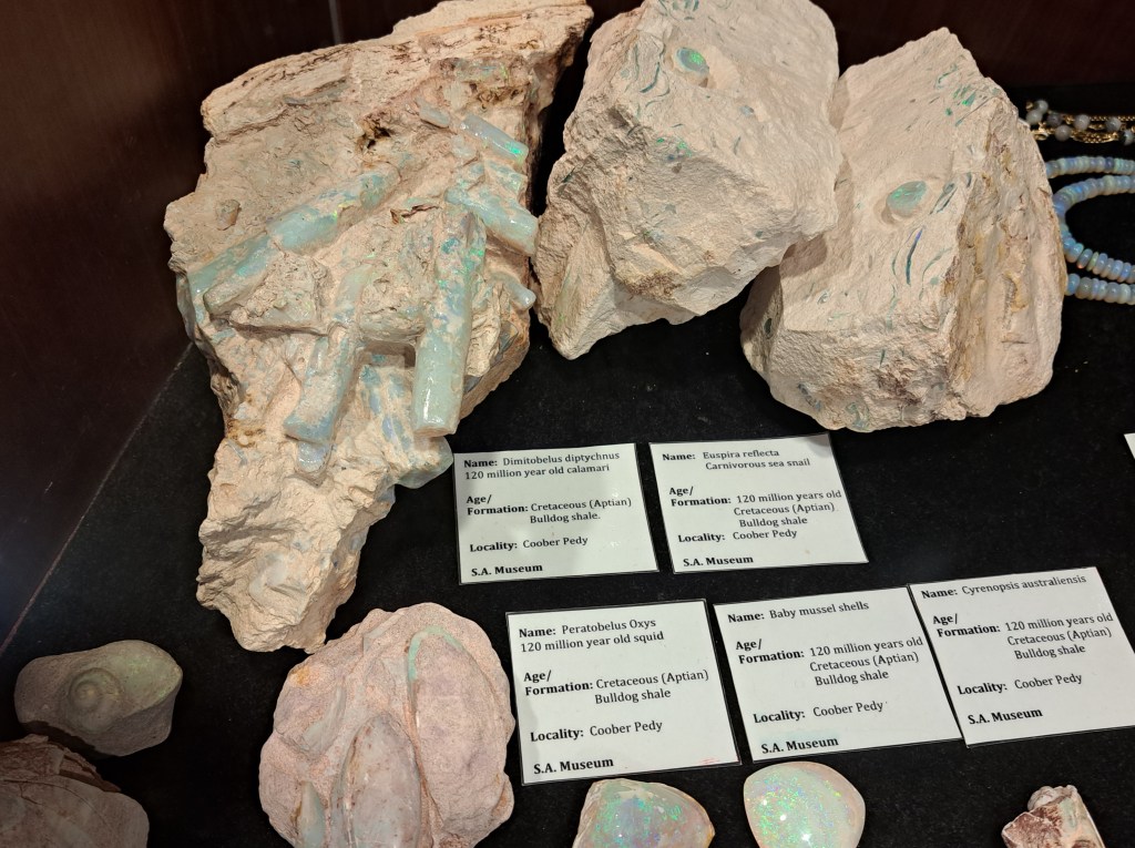
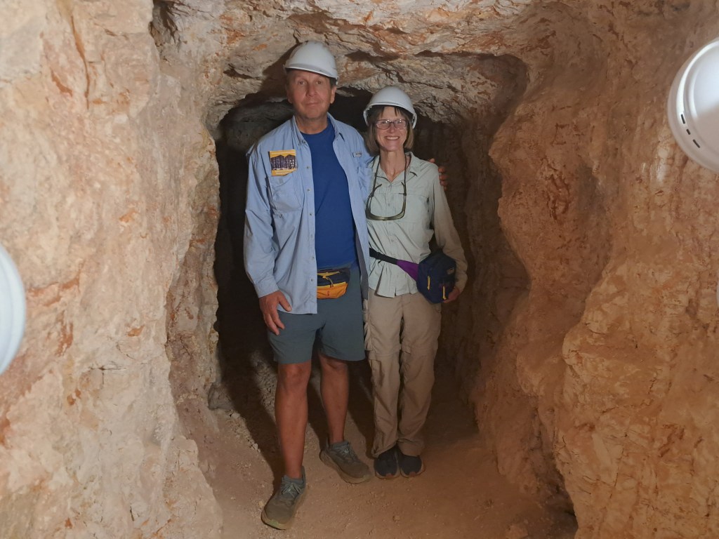
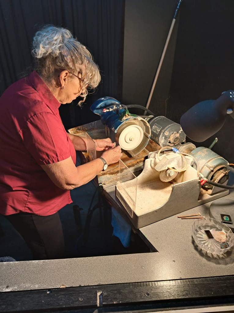
We.took a tour of a historic mine, learned about how raw opal is turned into jewelry, and saw an active modern mine.
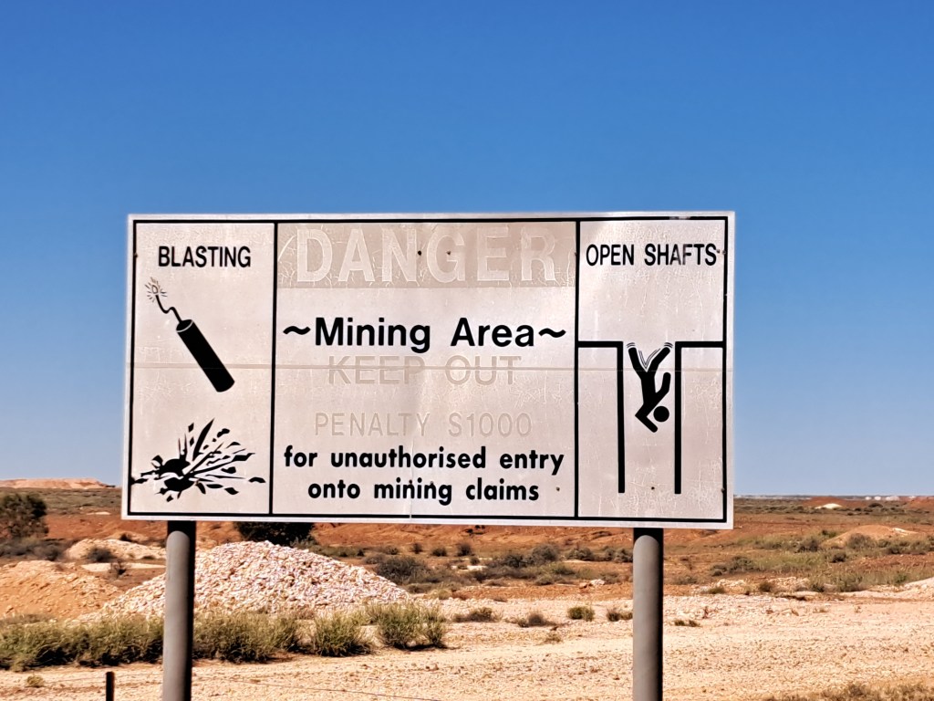
Coober Pedy has also been a shooting location for some major films, including Mad Max Beyond Thunder Dome, Pitch Black, and Priscilla Queen of the Desert.
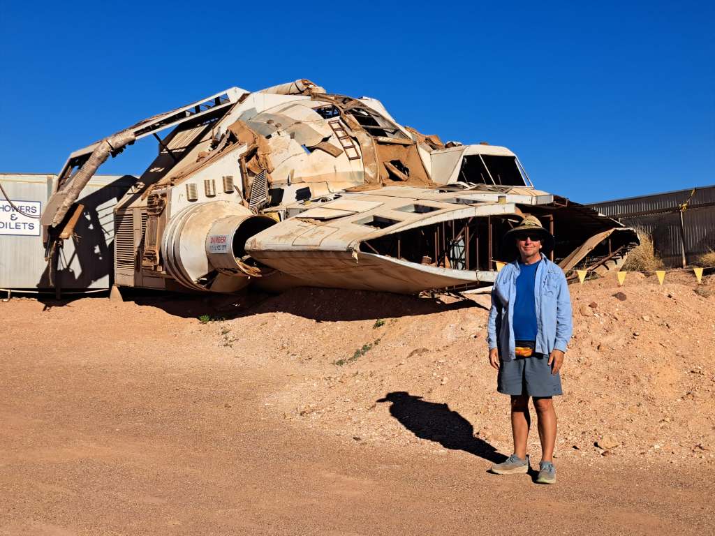
Above photo is me in front of wrecked ship from Pitch Black.
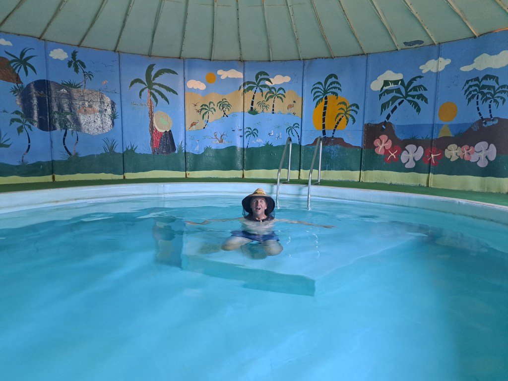
You can even stay in an underground motel room but we opted for an above ground caravan park with man made shade. It even had a pool contained within an old giant water tank to limit evaporative loss.
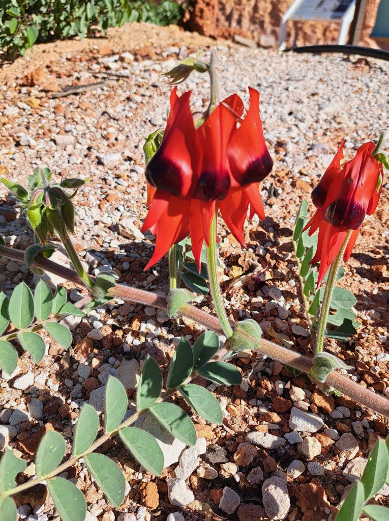
Sturt Desert Pea.
Next we were off towards the Northern Territory to Uluru-Kata Juta National Park (Ayers Rock)…
Uluru-Kata Juta National Park (Ayers Rock and the Olgas)
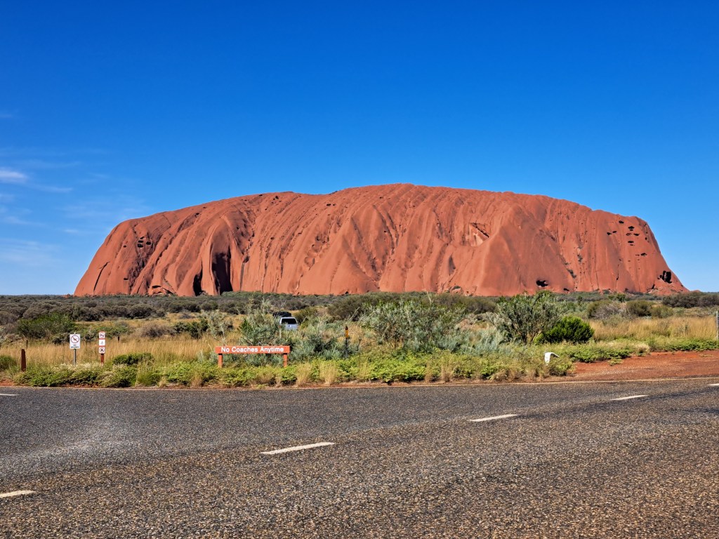
Ayers Rock (Uluru) is located near the center of Australia. The massive erosional remnant of sandstone and conglomerate rises dramatically from the surrounding landscape. There are no lodgings within the national park, so we stayed at a campground a few kms away.
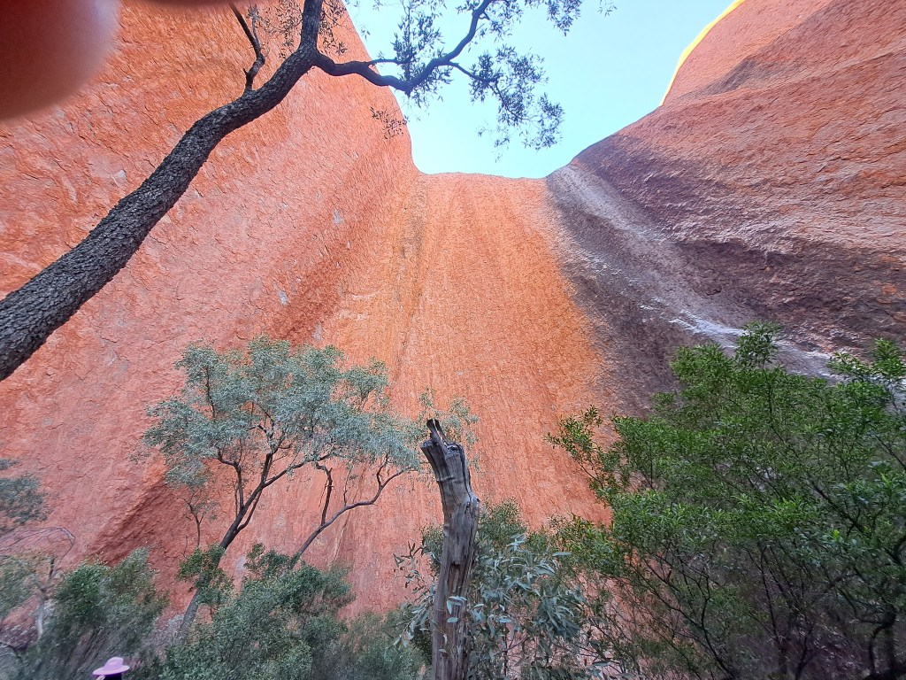
We.took a short guided walk along the Mala trail with an aboriginal guide who told us many stories. We saw a rock art site, a small pool of water with tadpoles, and surprisingly lots of trees near the base.
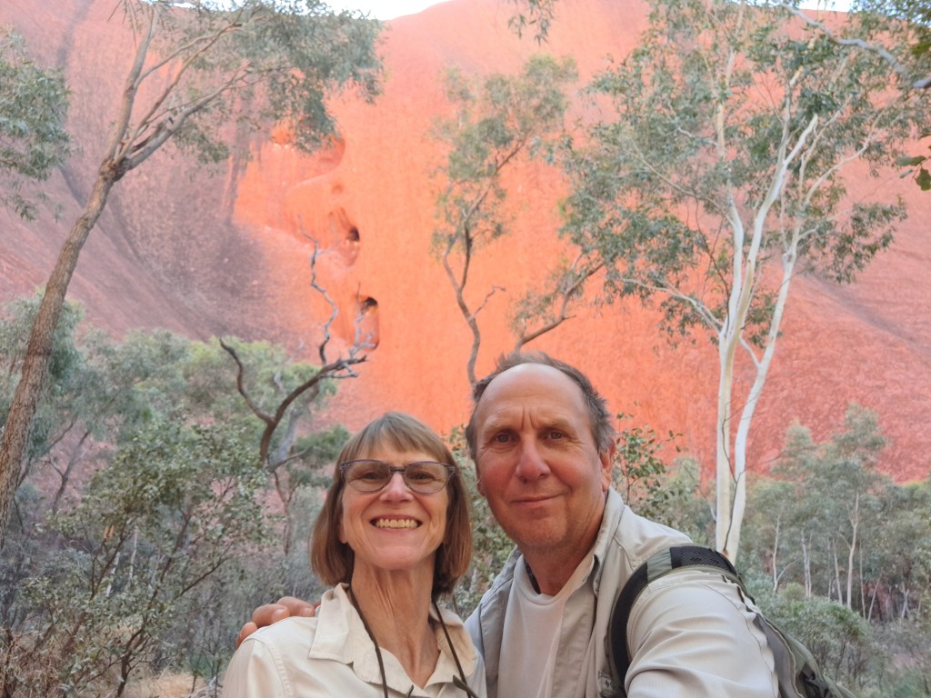
There were a lot of free activities, including aboriginal films (which we availed ourselves of in the heat of several afternoons), a presentation on bush foods, and stories of hunting and gathering showcasing the tools used ,
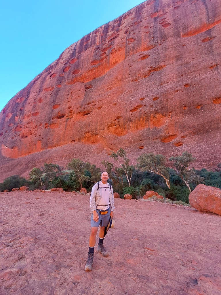
The other red rocks in the area are the Olgas, or Kata Juta. We took a walk through the valley of the winds. The trail led us through narrow gorges in between the rounded domes. Unfortunately we were not allowed to take pictures along much of the track due to sensitive nature of sacred aboriginal sites still in use today.
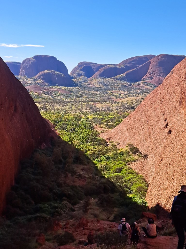
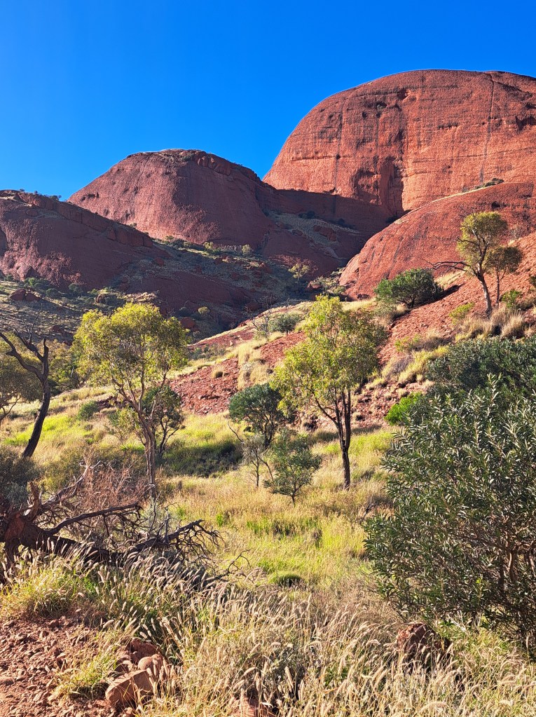
We were able to photograph many of the beautiful and interesting plants along the way.
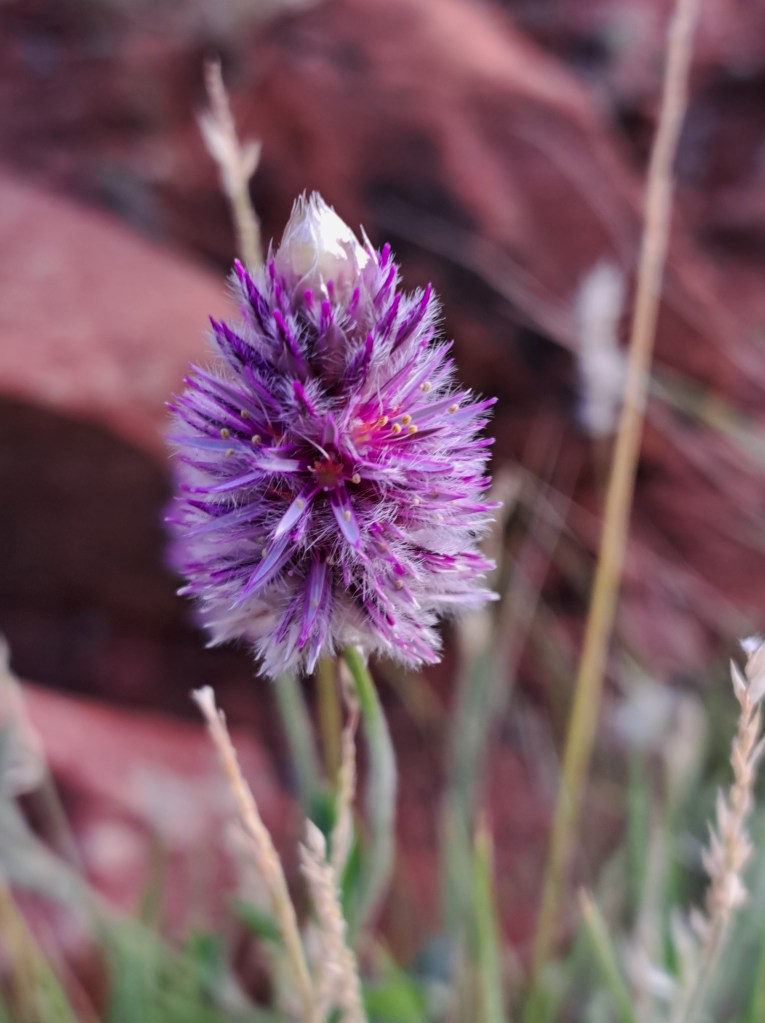
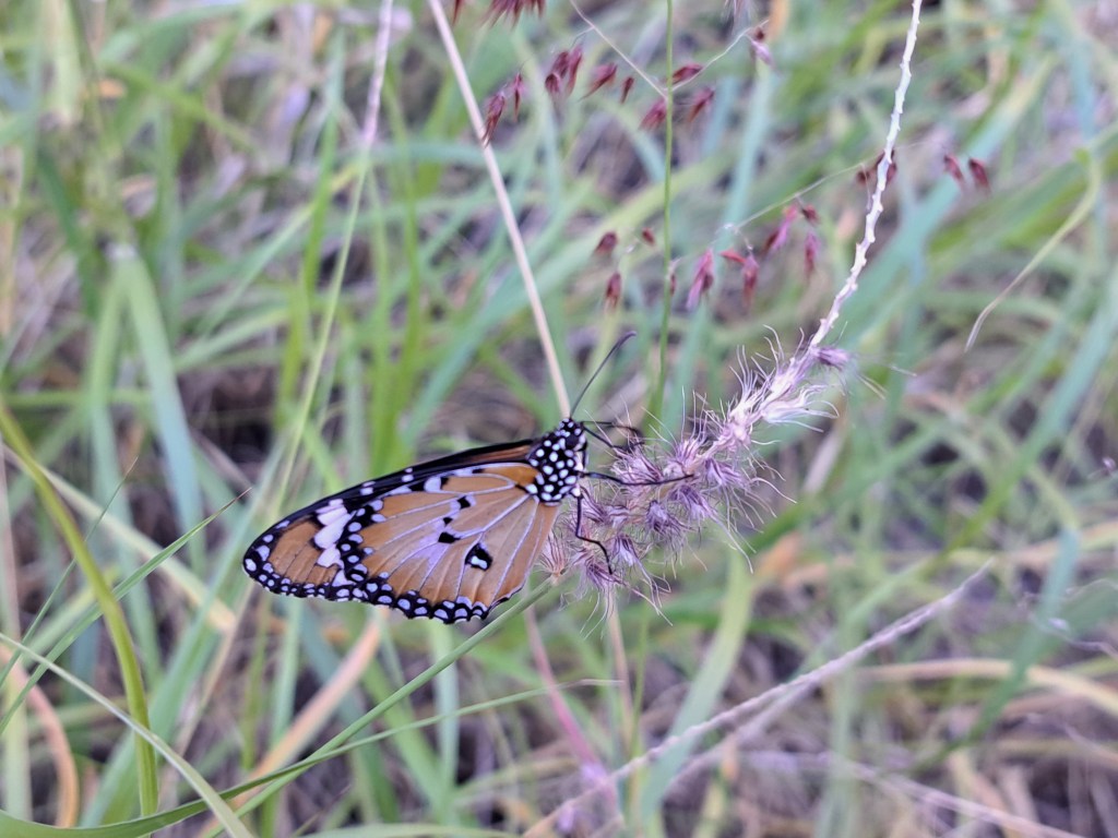
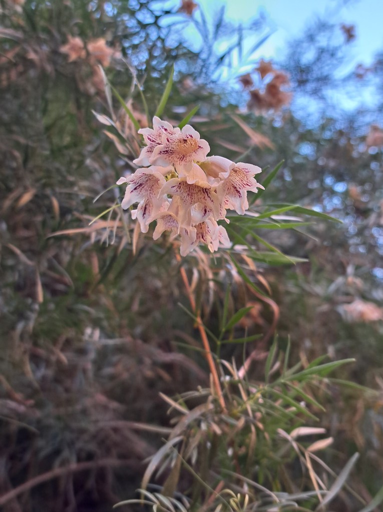
A shorter walk up Wapa Gorge afforded more photography opportunities.
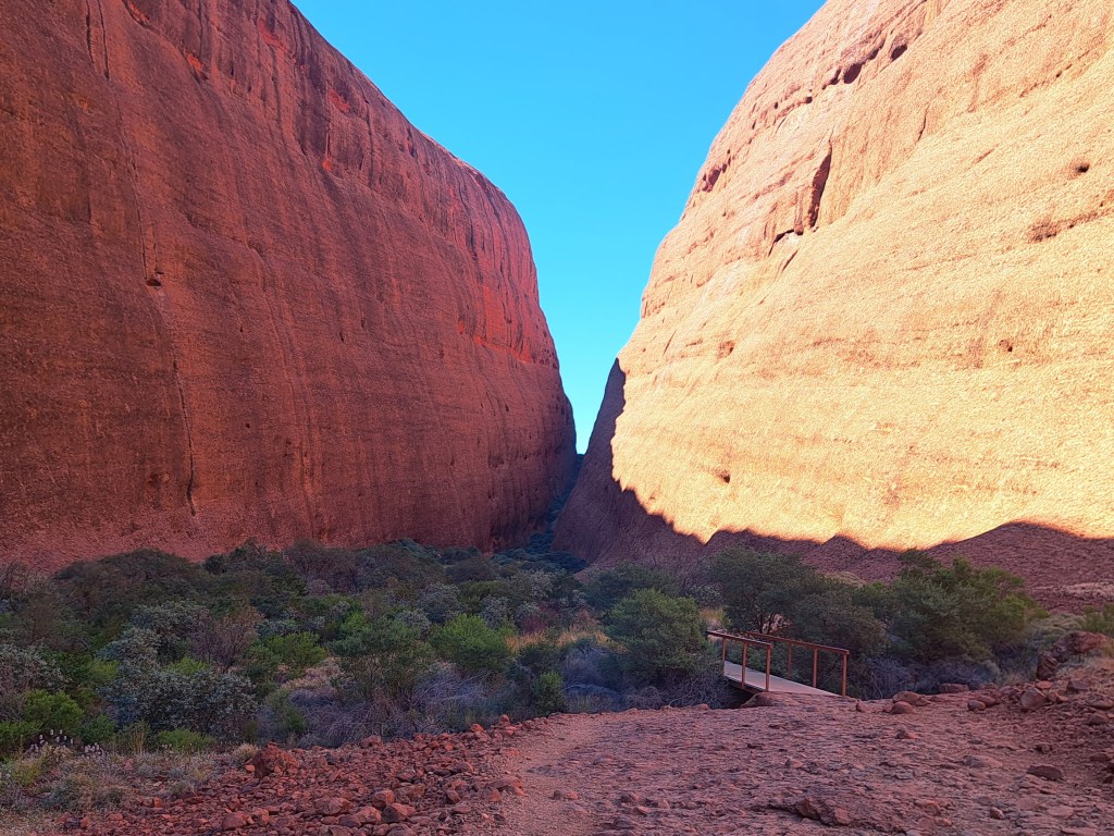
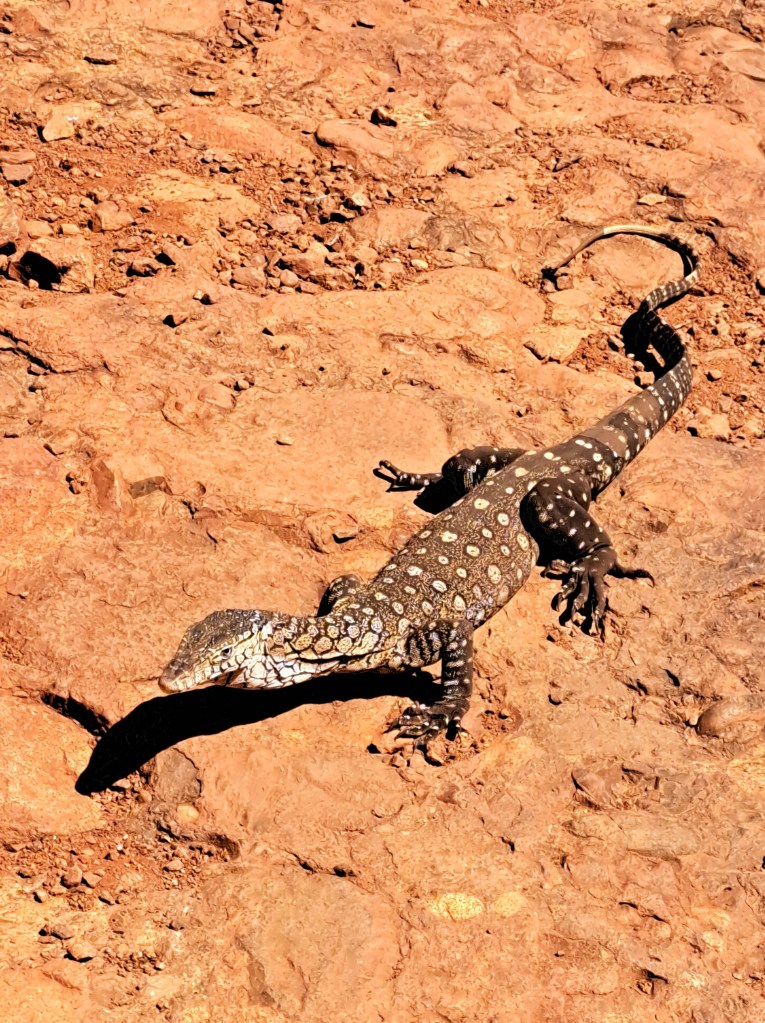
On our way back we were lucky to see a perentie, the largest lizard in the region. This one was about 5 feet long.
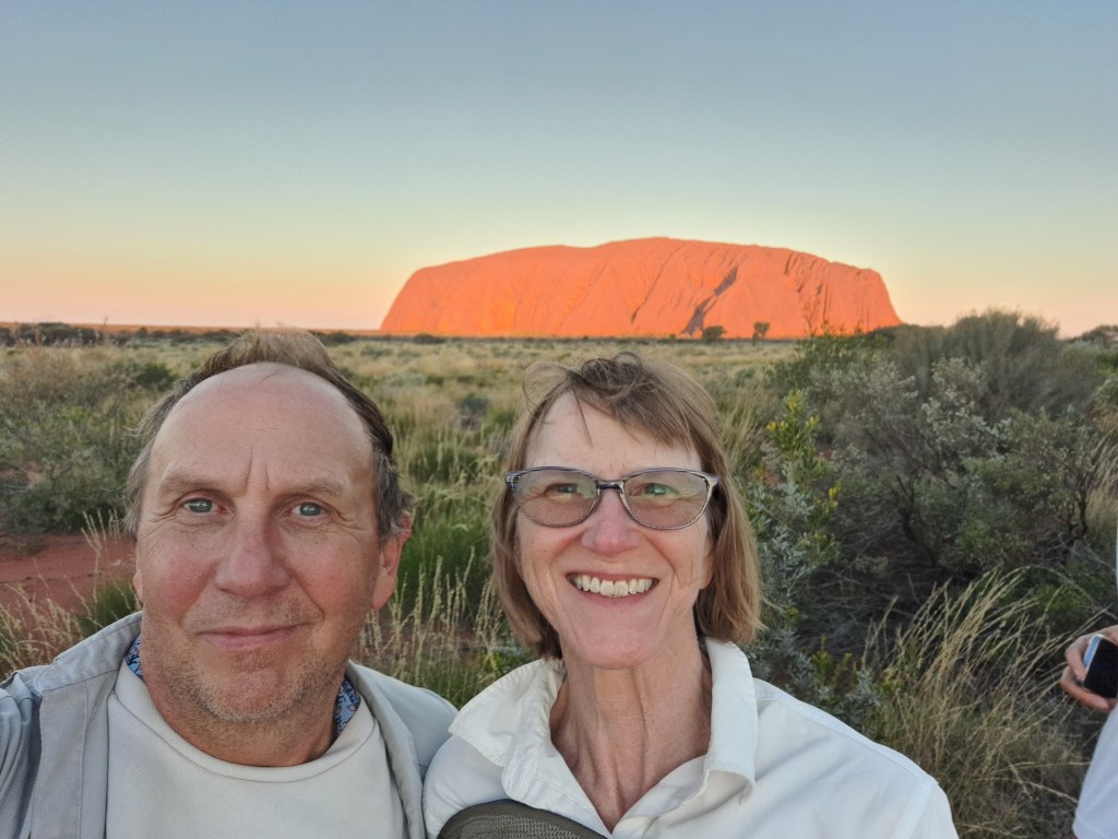
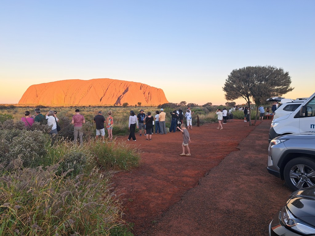
We also took in the sunset, a popular activity.
From here we head north to the western Macdonald range…
Watarrka National Park
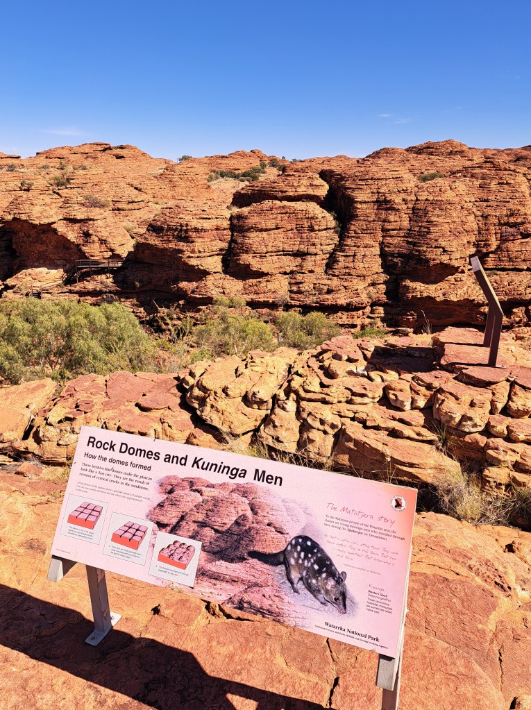
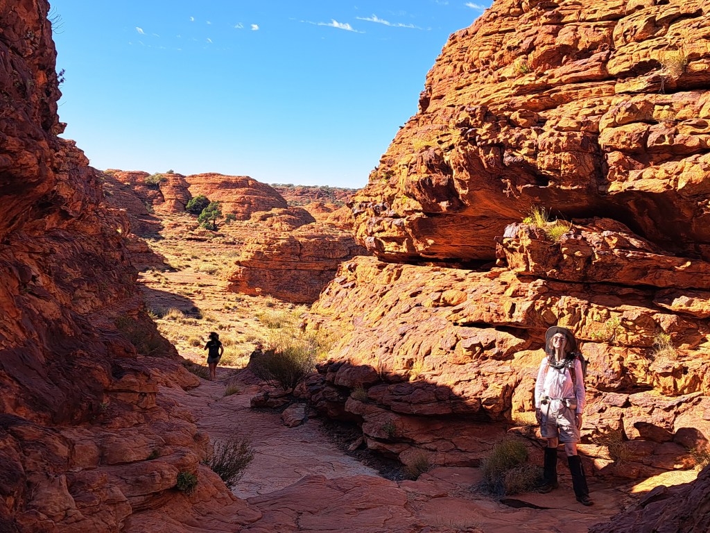
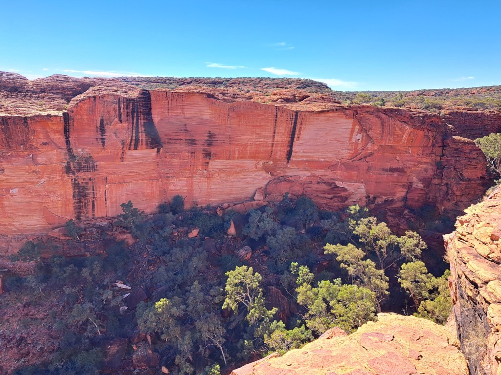
We drove northwest to Watarrka National Park for a night. The highlight here was a walk along kings canyon rim. The camp had wifi so able to post this short one.
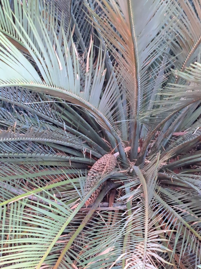
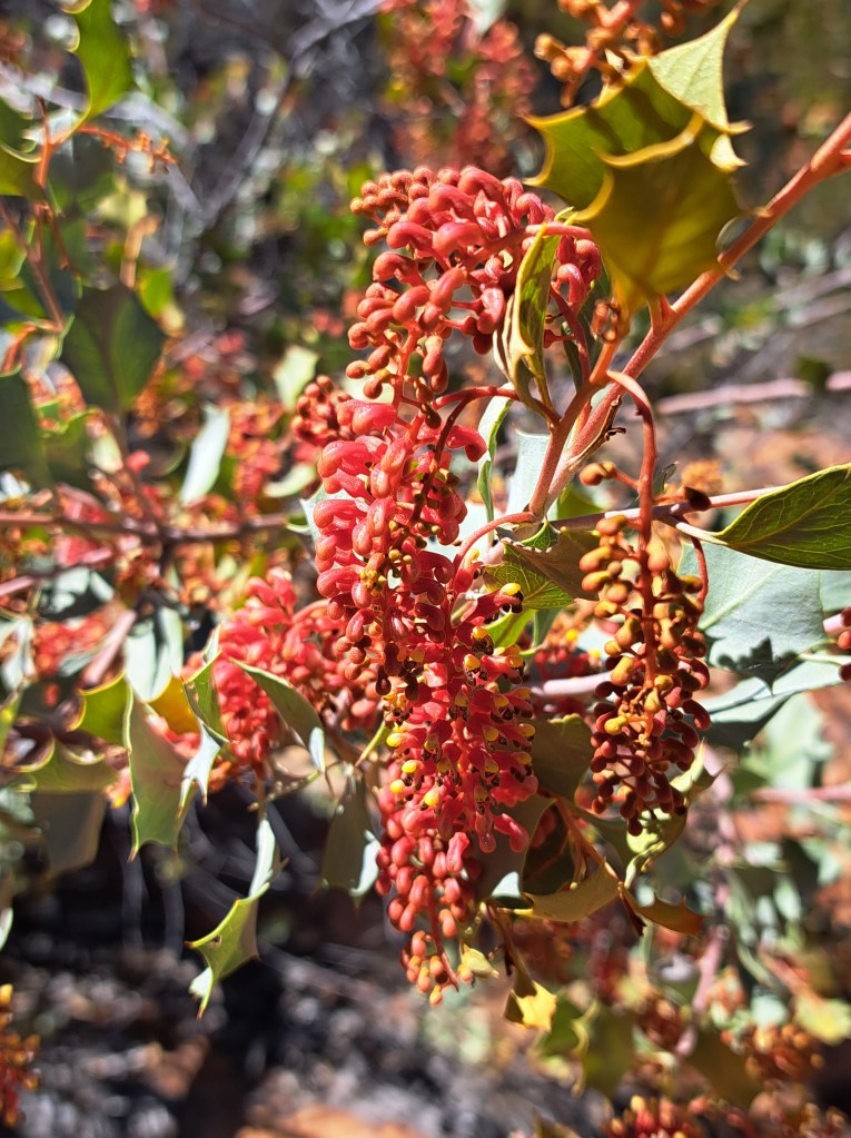
There are cycads in places.here, survivors from.the age of the dinosaurs.
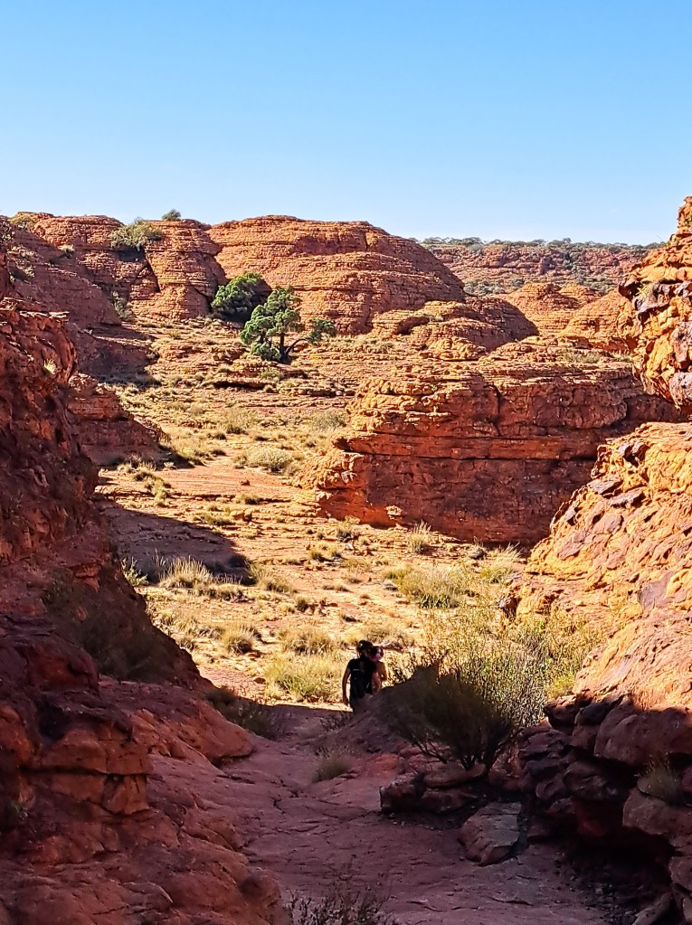
The rim sandstone has cross beds and although the rock is quartz rich, it is red due to an iron oxide coating that is fixed to the rock by fungi.
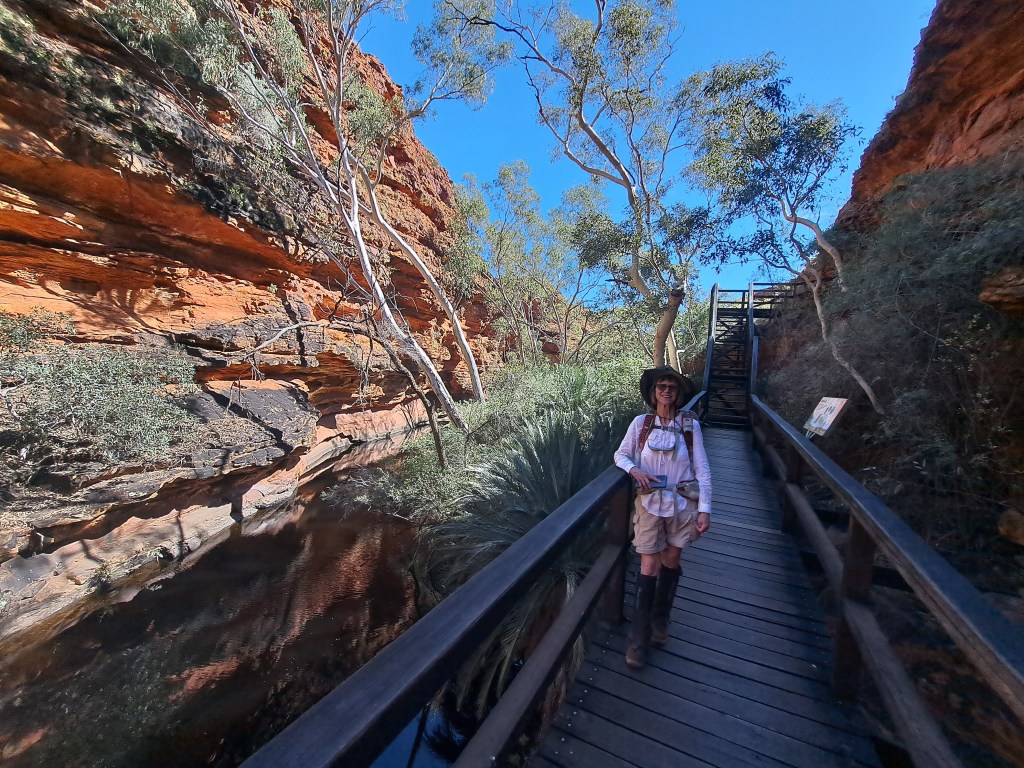
There are cases within the gorges that have plants and animals you wouldn’t expect here.
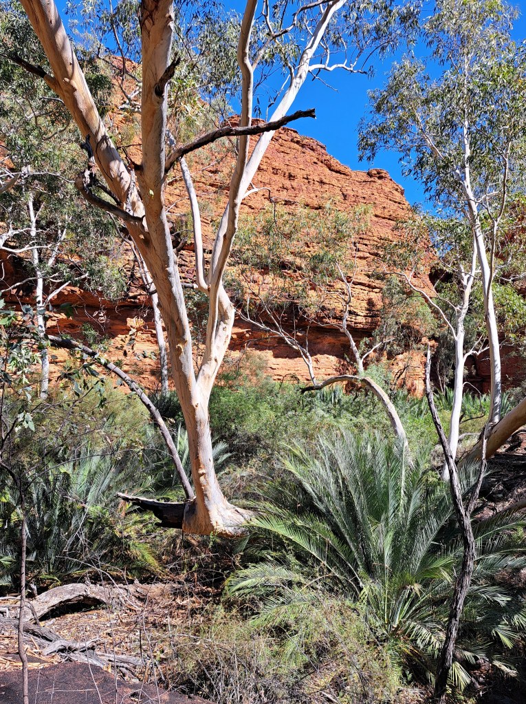
Rounded beehive domestic are a result of fractures in the rock and erosion.
Alice and Wonderland
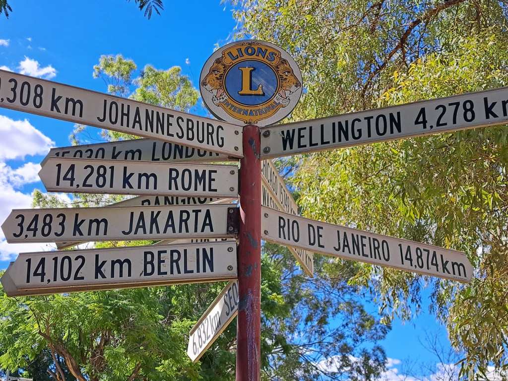
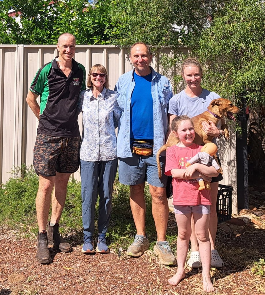
From the MacDonnell Range we went to Alice Springs for a couple of nights. Thanks to our hosts Tim, Emily and Lucy for putting us up! We met them.in Tasmania just a little over a month before.
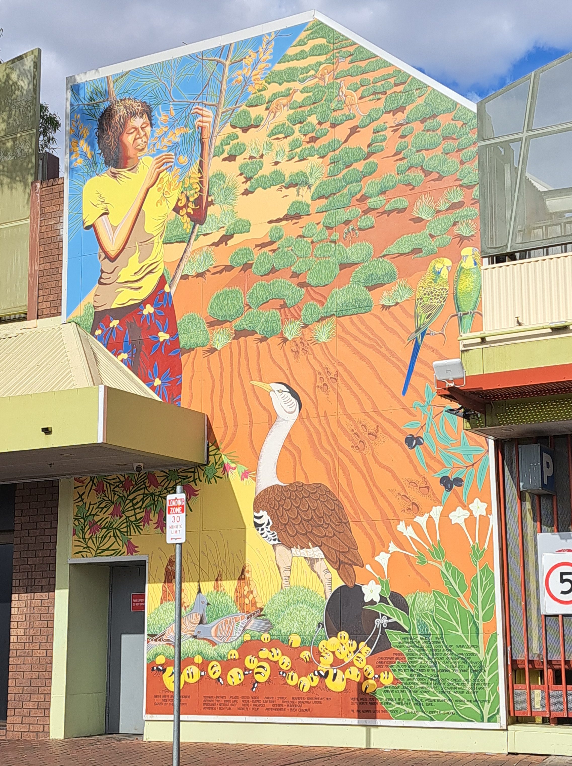
We had a minor repair in Alice and a visit to the Desert Park before heading back on the road. We got to pet a dingo and saw an amazing raptor demonstration.
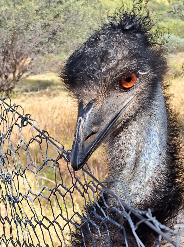
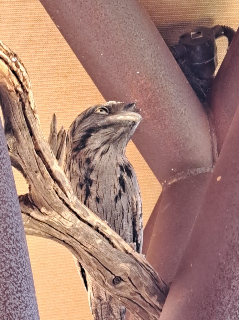
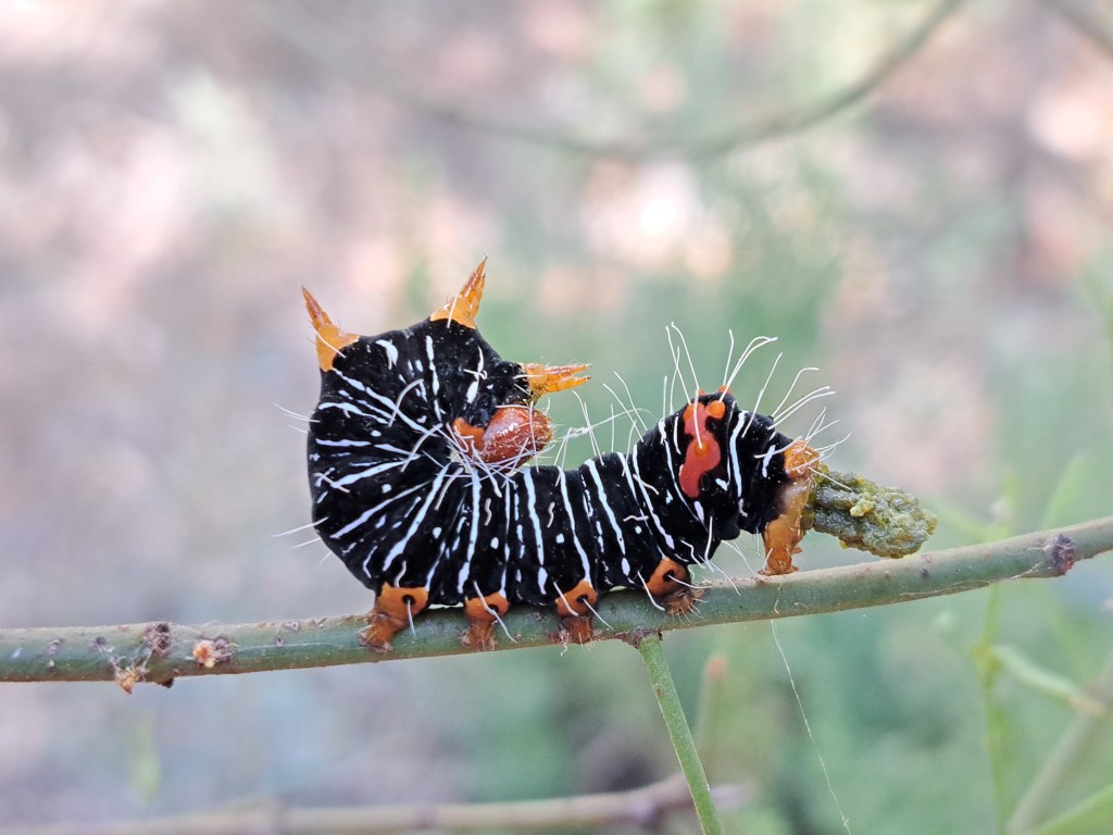
We drove north, spending a night at Karlu Karlu or the devil’s marbles. It was an interesting walk amongst the granite boulders.
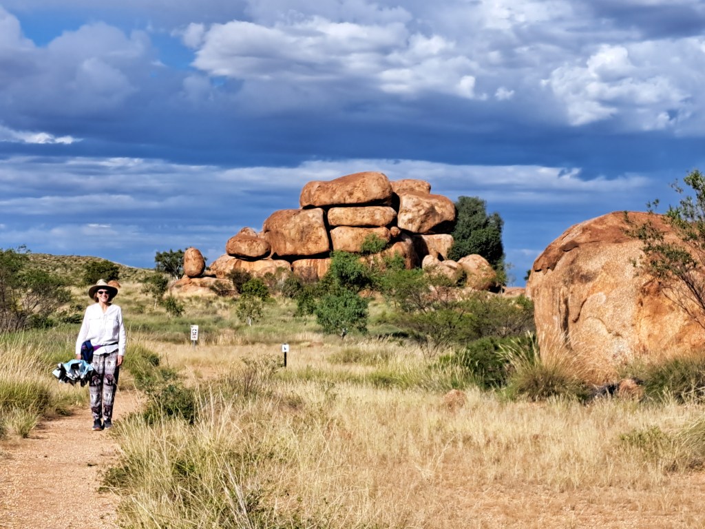
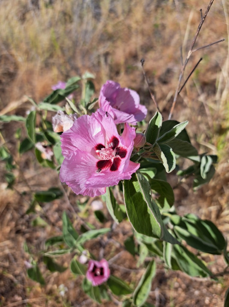
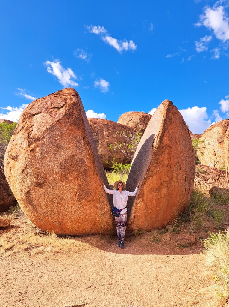
Our second day out of Alice we made it to Katherine , where we discovered one of the brakes on the trailer was sticking. It was a holiday weekend and we had to wait until Tuesday for shops to open so we could get tools and parts. We took a break and tried to stay cool in the 36 degree humidity.
After repairing the brakes, we took a test drive out to explore the Katherine Katherine River gorge.
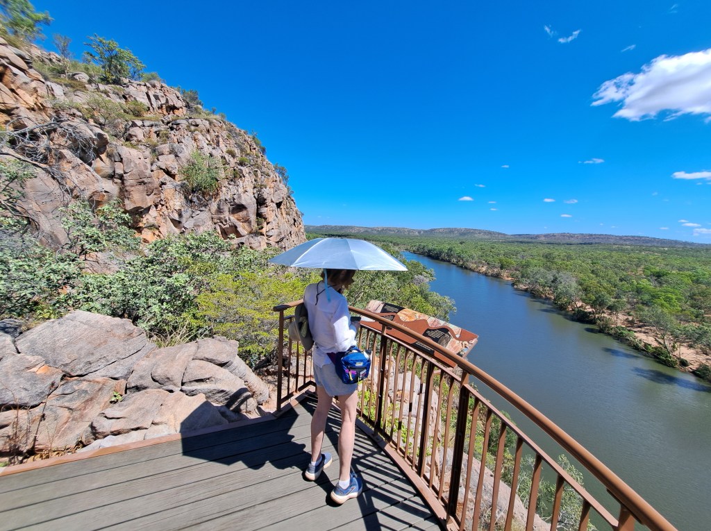
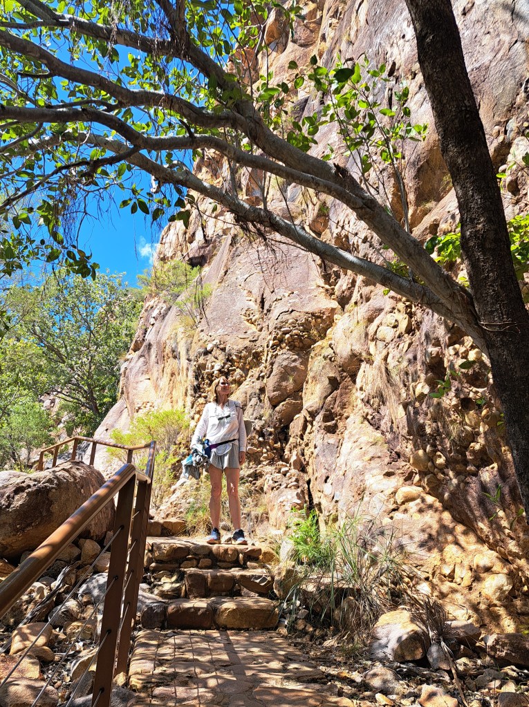
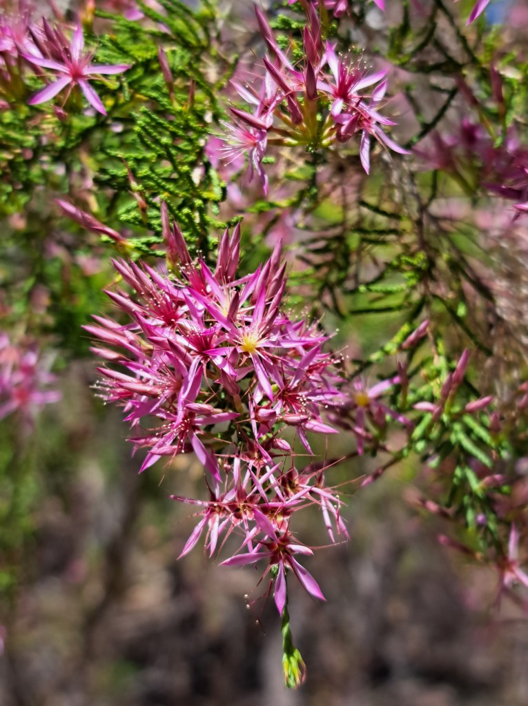
Once fixed we headed to Kununnura where we had a quick evening exploring nearby Mirima National Park and our first boab trees.
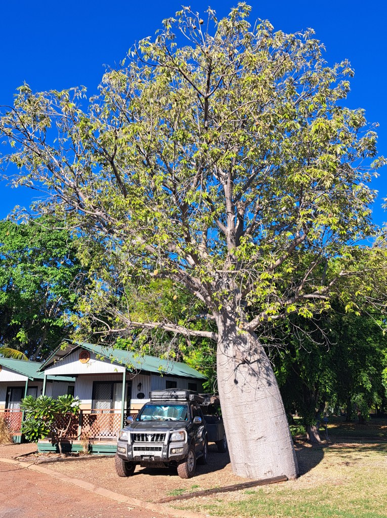
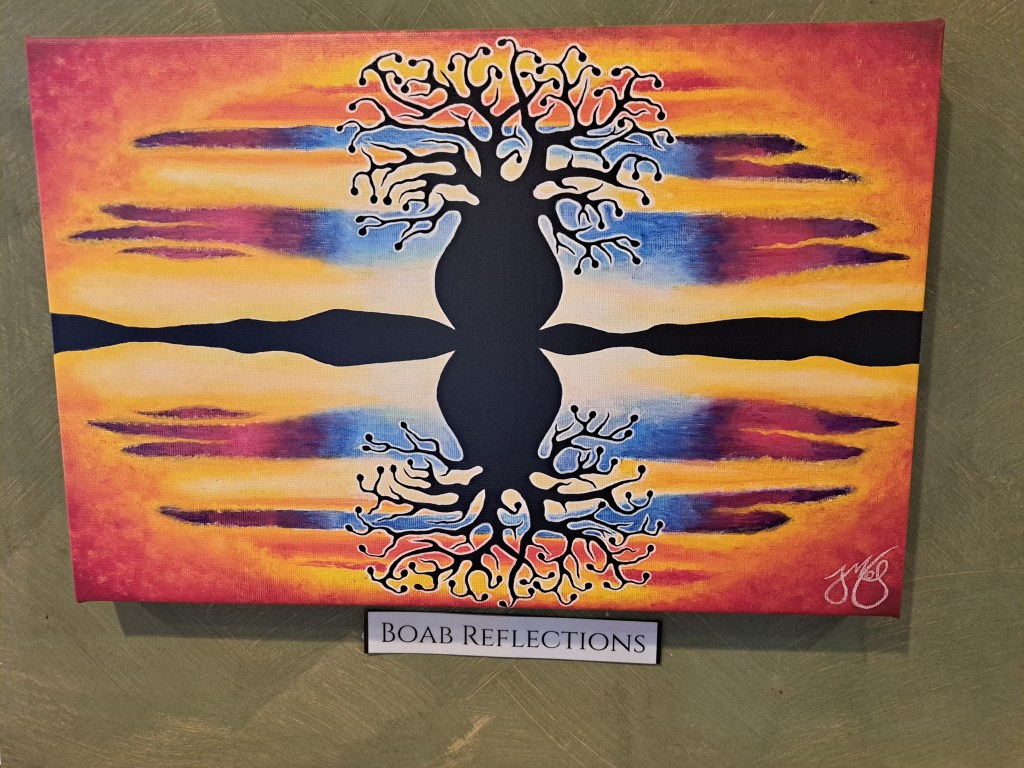
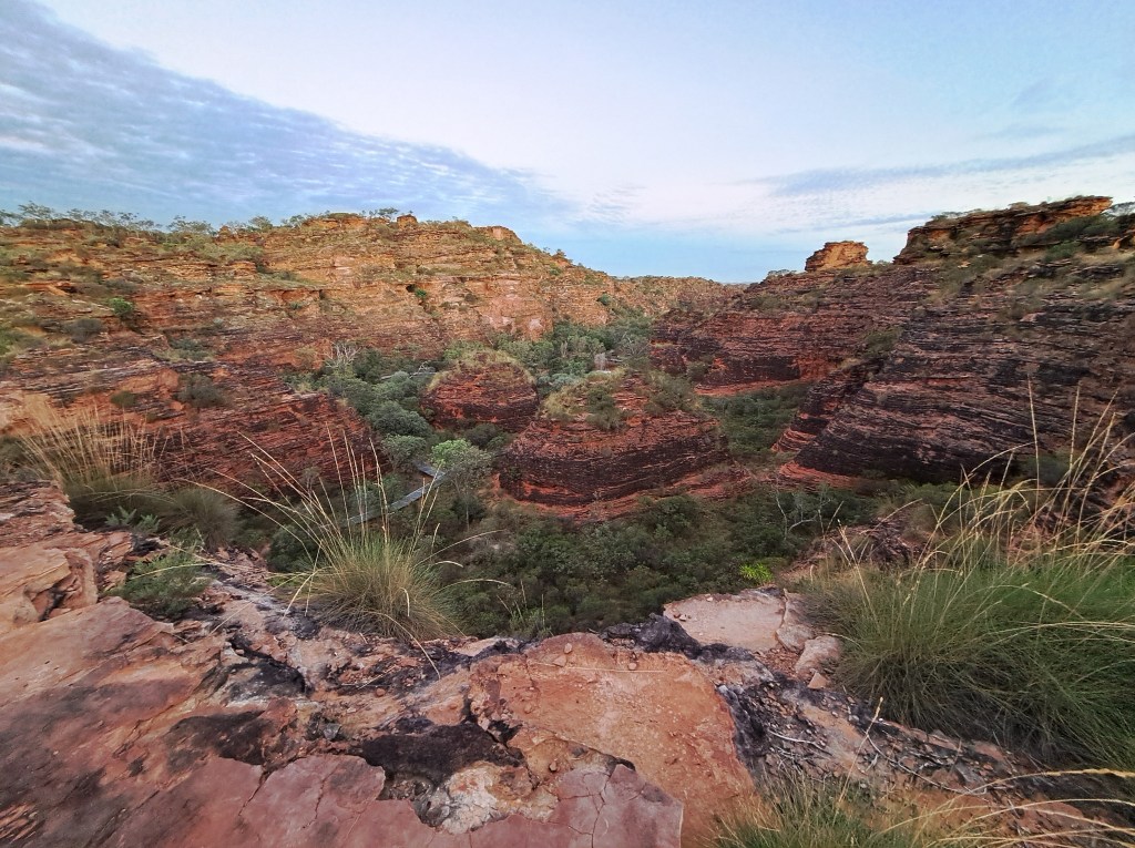
A resupply at the grocer and we were off on our 5 day adventure into the Kimberly.
Purnululu National Park
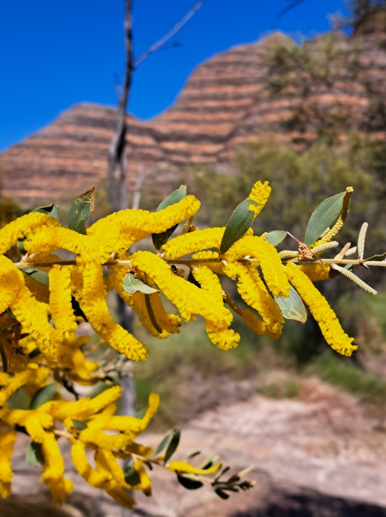
I have dreamt of visiting this place ever since featured in a film over 30 years ago. That dream became reality this May. Purnululu is a remote park in the Kimberly region of northern Australia. It is accessible by road only during the dry season, May through September.
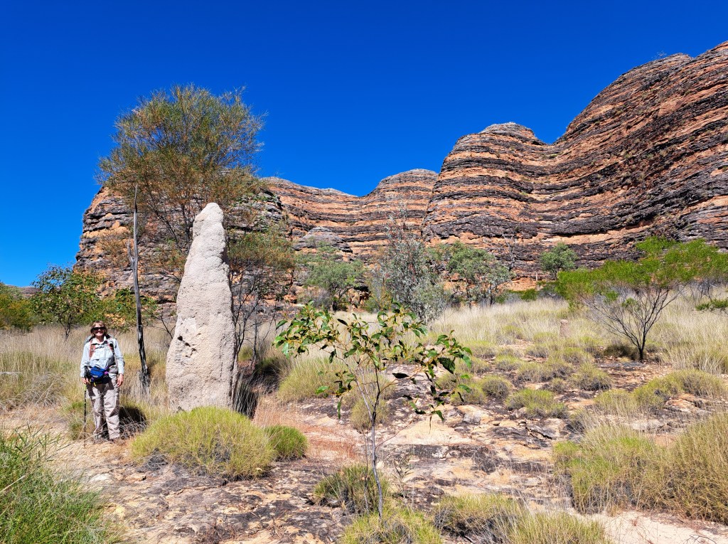
We spent two nights camping at Walatdi in the southern part in order to explore the bungle bungles, or beehive shaped domes.
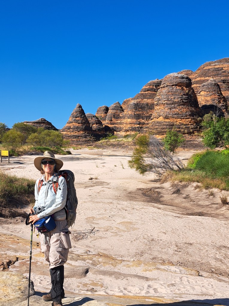
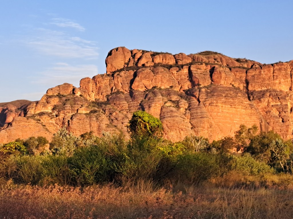
The rocks.are sandstone and conglomerate. The red color is a coating, and the dark bands are layers discolored by blue green algae. The algae only grows on layers with high clay content that holds water longer. We hiked up Picninny Creek to Whipsnake Gorge.
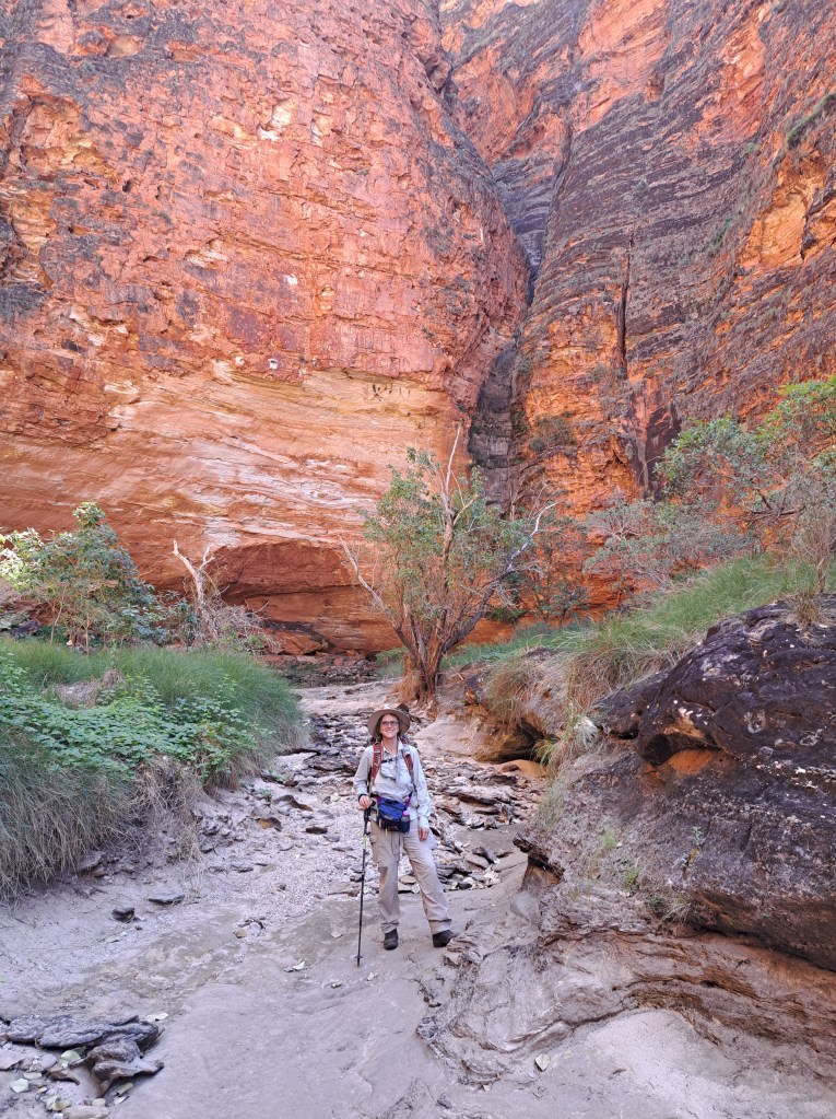
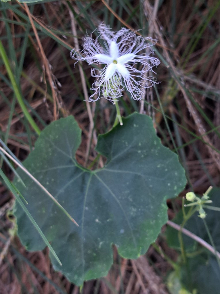
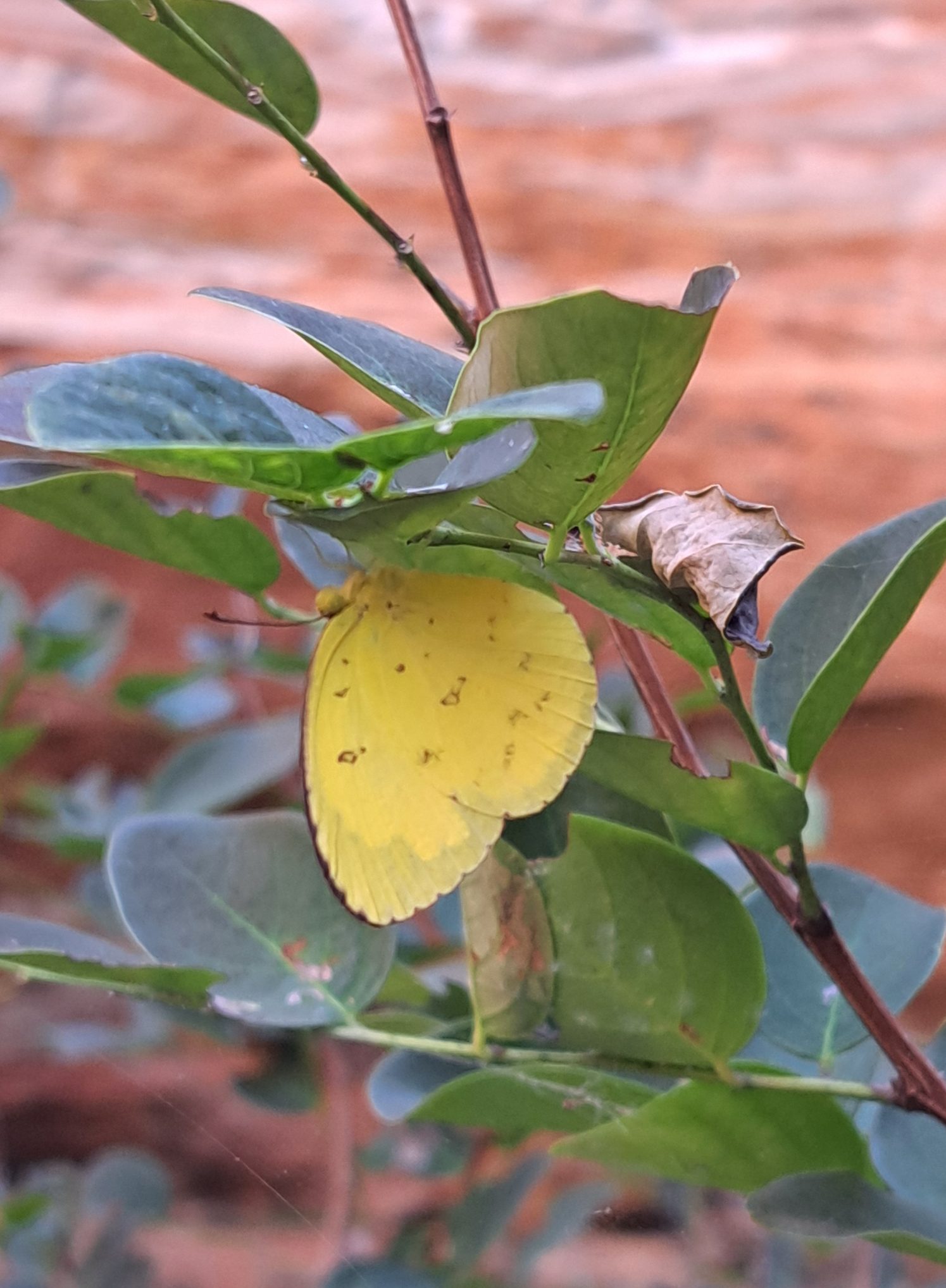
The steep narrow canyon had a pool of water that lasts well into the dry season. It creates an oasis for plants and animals that could not otherwise survive here.
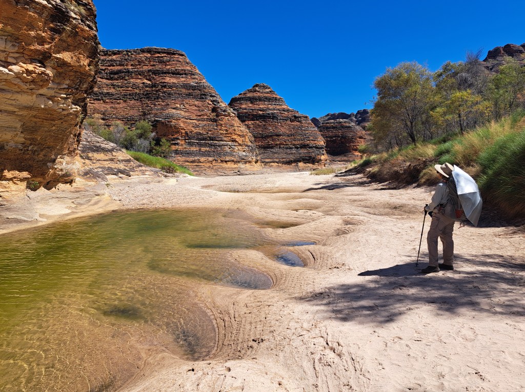
We were amazed at how much water re.ained in pools in the creek bed.
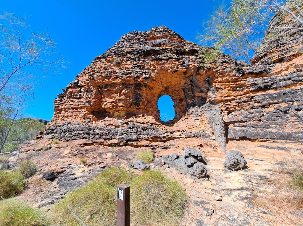
We took a few side trips on the return walk to viewpoints.
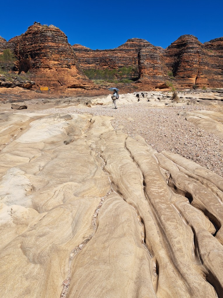
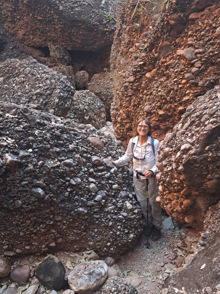
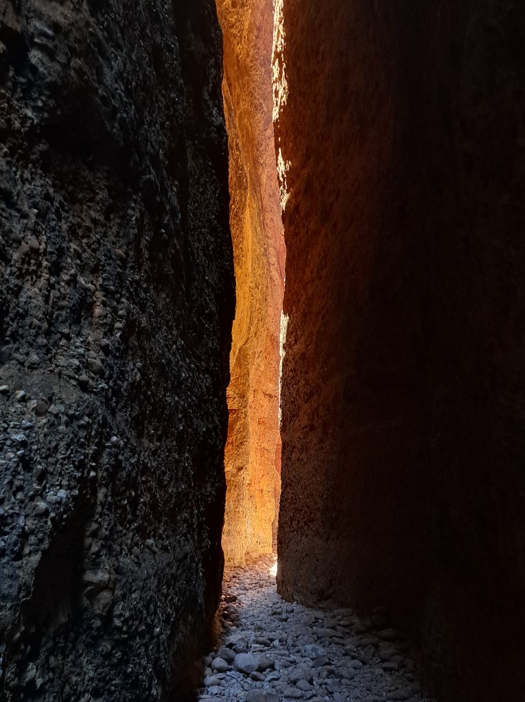
We moved to the north side of the park and camped at Kurajomg. We drove up to explore Echidna Chasm, a slot canyon where the sun only briefly touches the canyon floor for a few minutes each day.
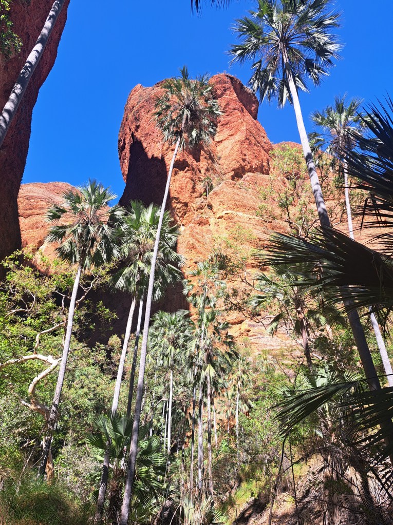
The approach was along north facing cliffs and then up a stream channel. Vegetation here was very different, including palm trees and other plants we hadn’t met yet.
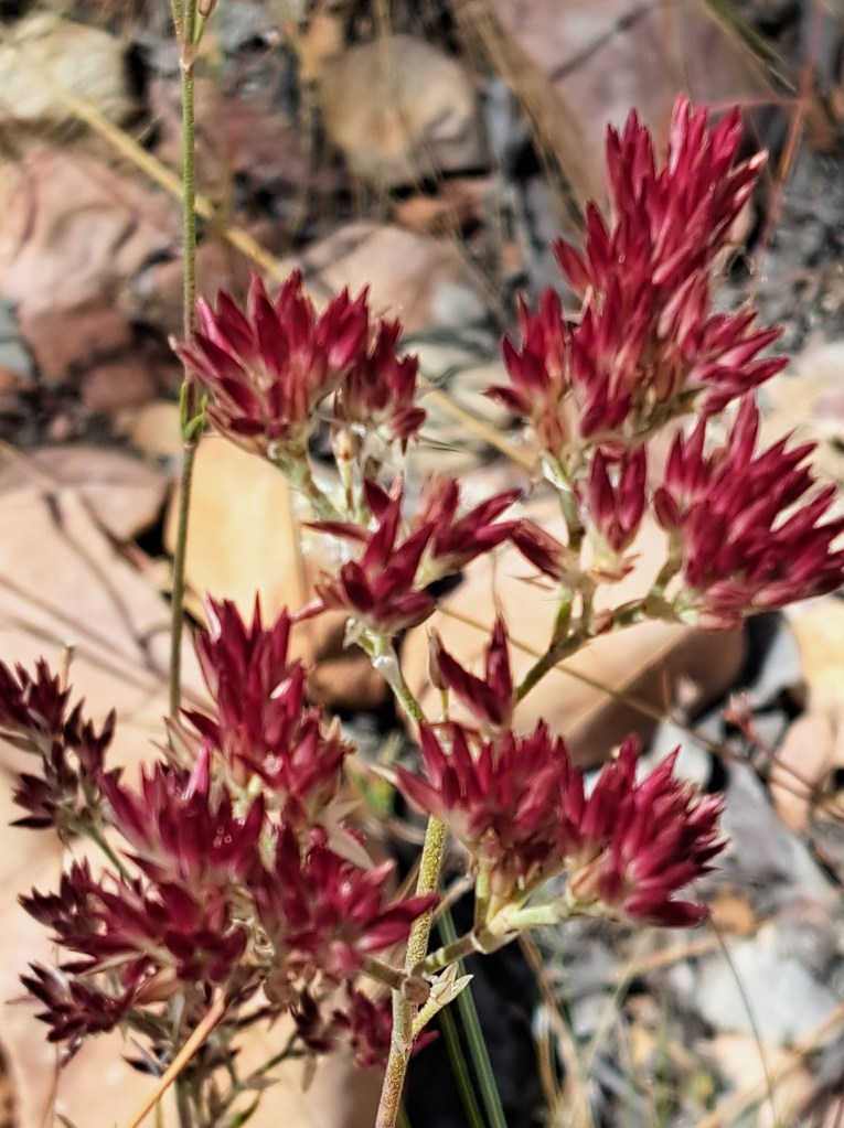
The hike involved a bit of boulder scrambling as the canyon narrowed.
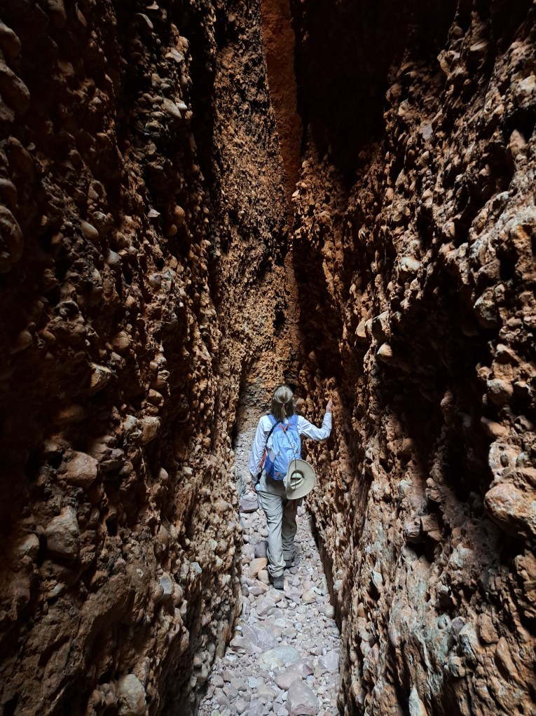
We made it in time for “sunrise”
Our Last afternoon we walked a short nature trail and watched the sun set on the cliffs.
We said goodbye and looked ahead to several days in a row of.long drives…
Iron and Salt
The road from Purnululu was long, taking us into the Pilbara region. Famous for summer temperatures that routinely reach 50 degrees C, salt.mines on the coast, and the largest deposits of iron from the banded iron formation in the world.
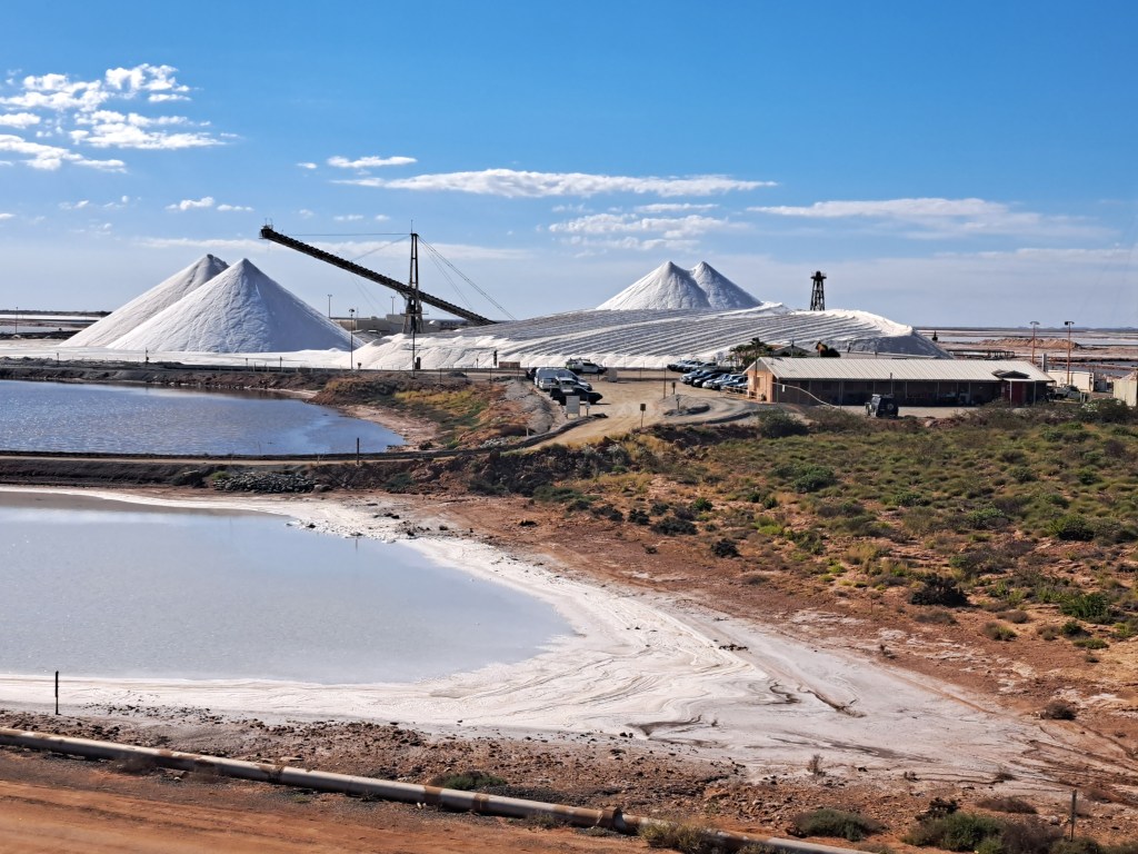
We resupplied in Broome before continuing on to Port Hedland, where several rail lines meet to deliver millions of tons of iron ore to the Port.
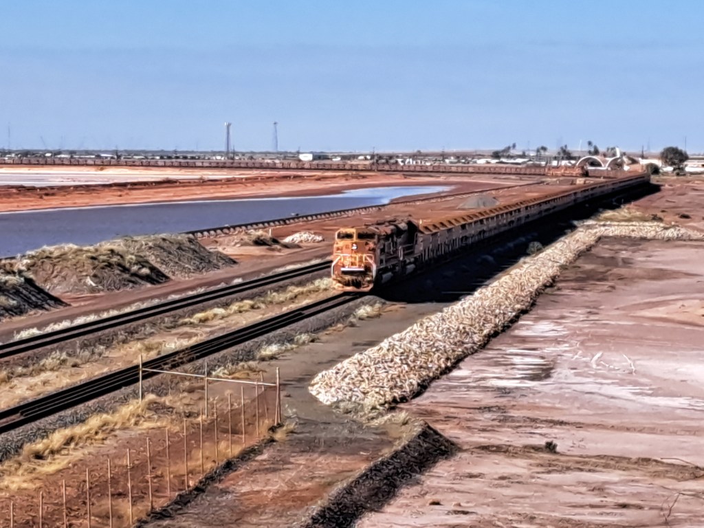
Trains often have 200 or more cars. The coast here touches tropical lagoons and shallow ocean. A good place for the night and resupply.
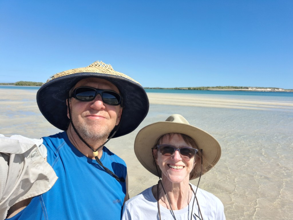
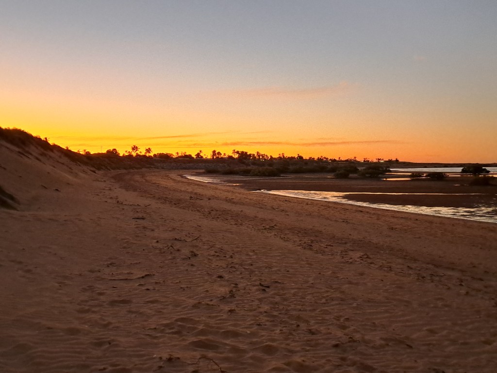
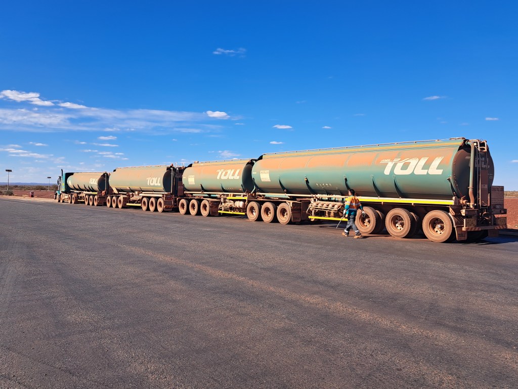
Our route took the next park was all through iron country. Road trains were everywhere, hauling everything imaginable.
our journey to Karijini led us through desert rich in history and iron ore alike. This is red dirt country.
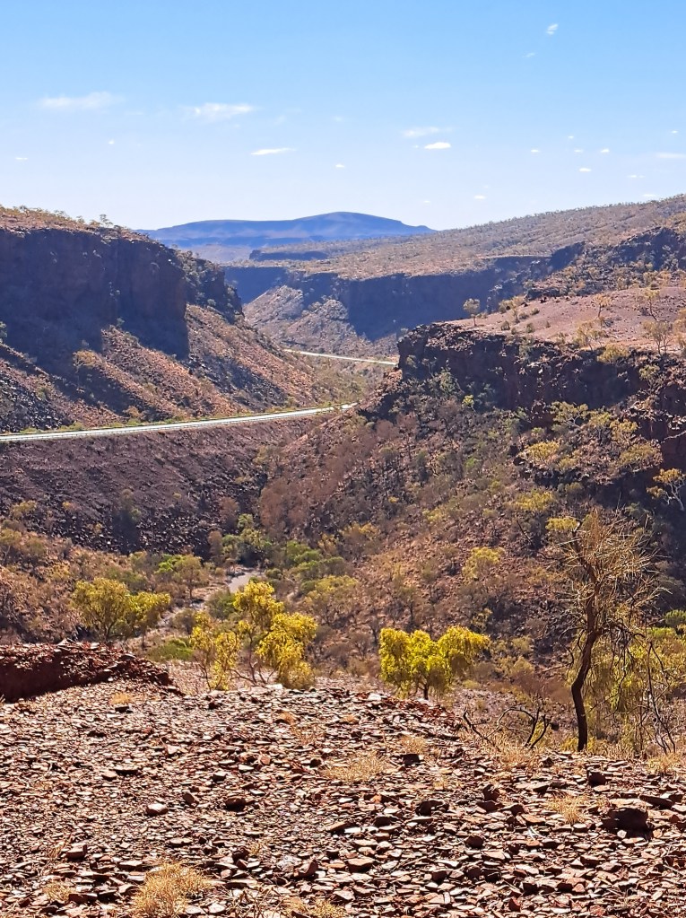
Karajini National Park
Located in the center of the iron belt this park is all about geology. The earth and rocks are red with oxidized iron. You can sè the bits of iron in dense broken pieces of rock. Butnthe most incredible feature of the park is water.
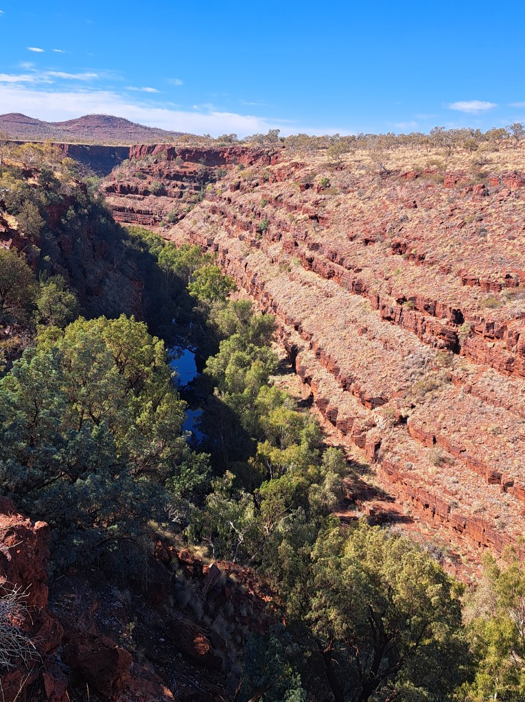
Regional fractures in the rock have allowed deep chasms to form, many of which contain water year round, evenn in drought years.
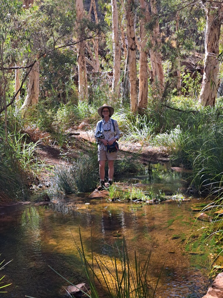
On our walk through Dales Gorge we enjoyed the coolness of shade and the sound of running water, while just a few dozens of meters above the landscape baked.
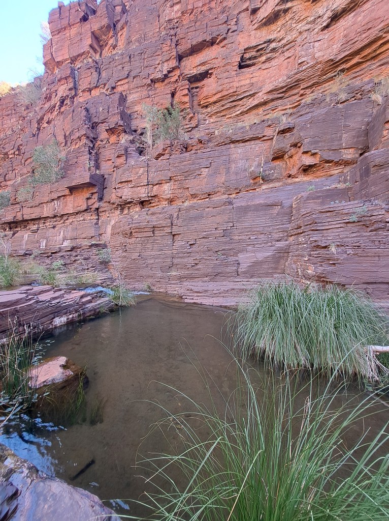
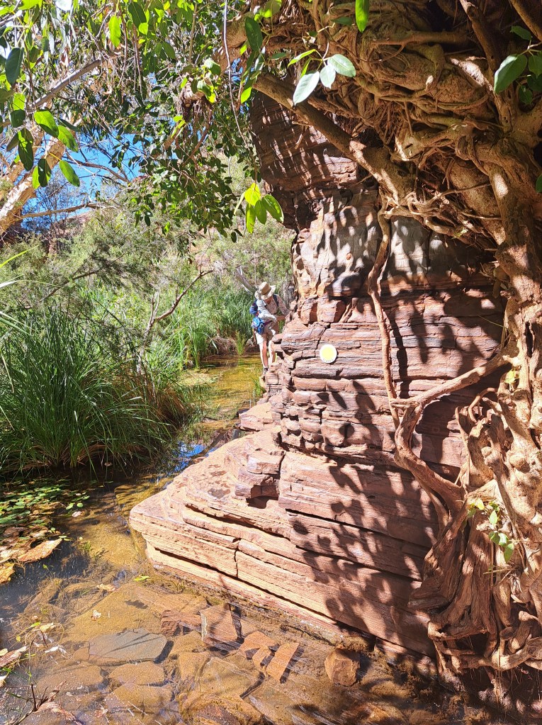
Walking through the narrows we came to a waterfall.
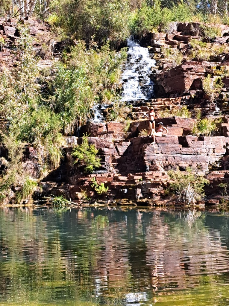
best part of the hike through the canyon was fern pool, a lovely swimming spot before the climb back to the canyon rim and heat.
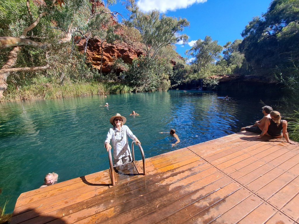
We cooled off before climbing back up to.camp.
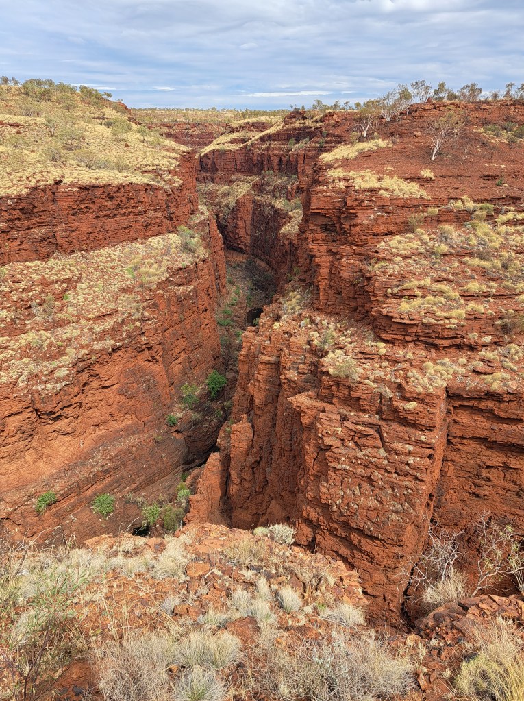
We drove to the Karajini Eco Park for two nights to explore another part of the park. We took short walks to see Weano gorge, and late in the day hiked down into Knox gorge.
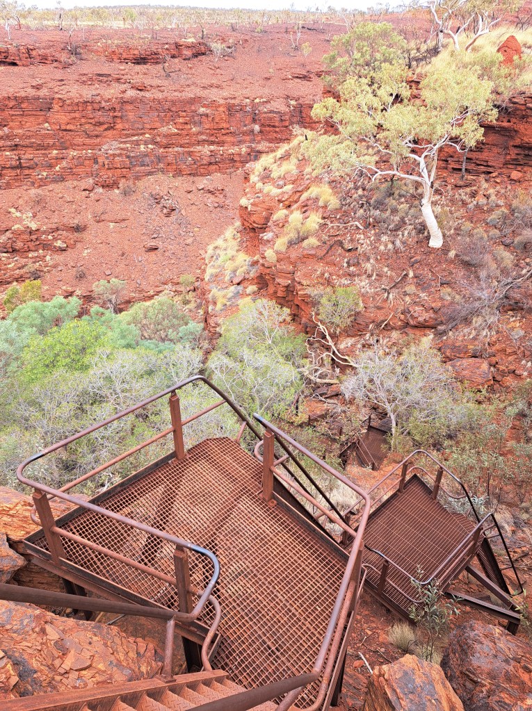
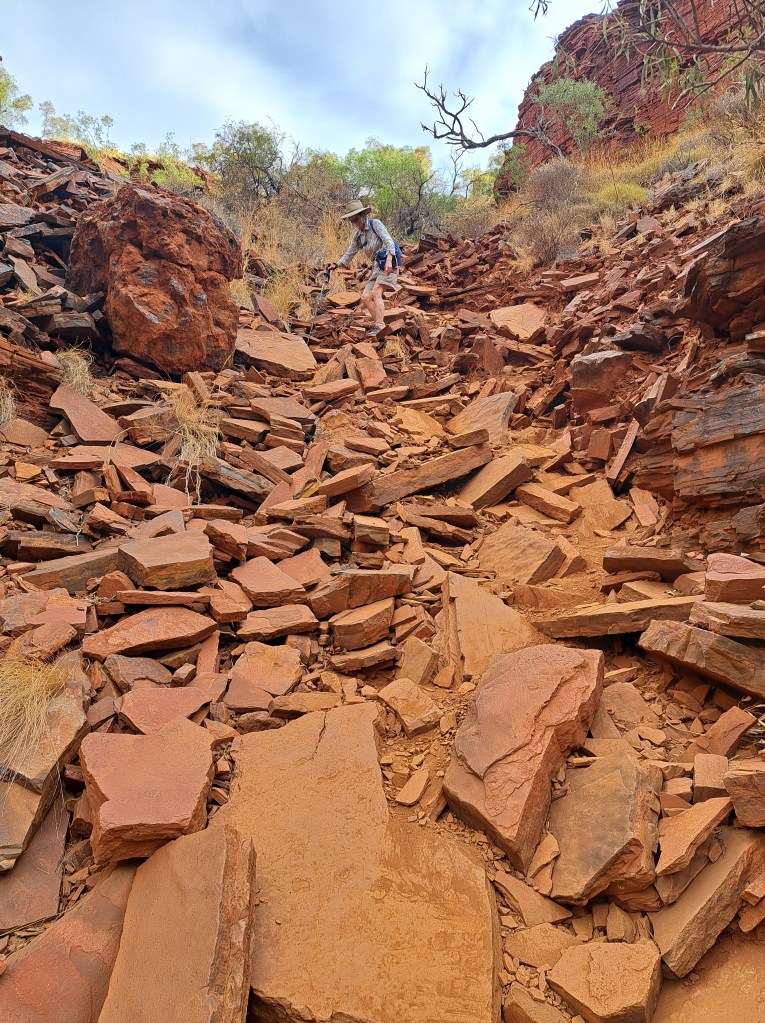
The trail down had a few challenges…
The bottom of the canyon was narrow and cool, and though there was still water in large pools it was stagnant and not suitable for swimming.
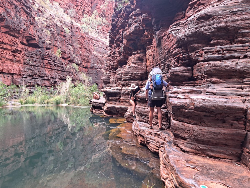
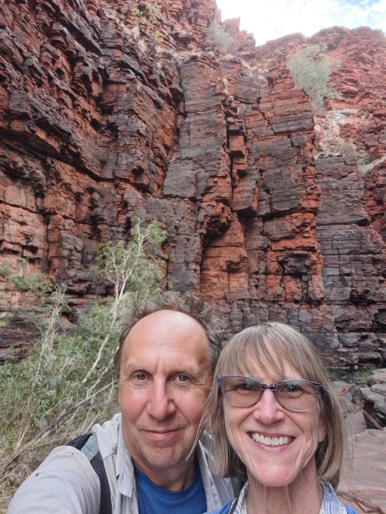
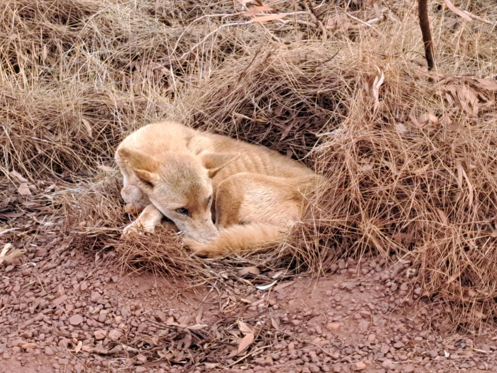
On our way back to camping we saw a dingo napping by the campground road…
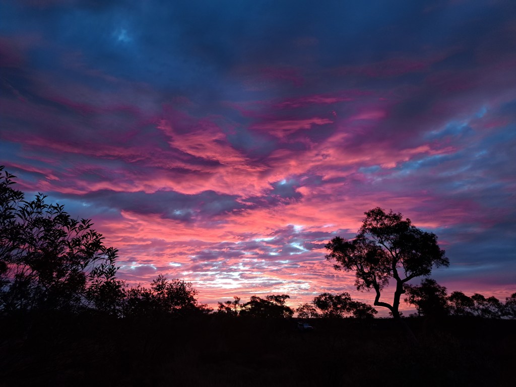
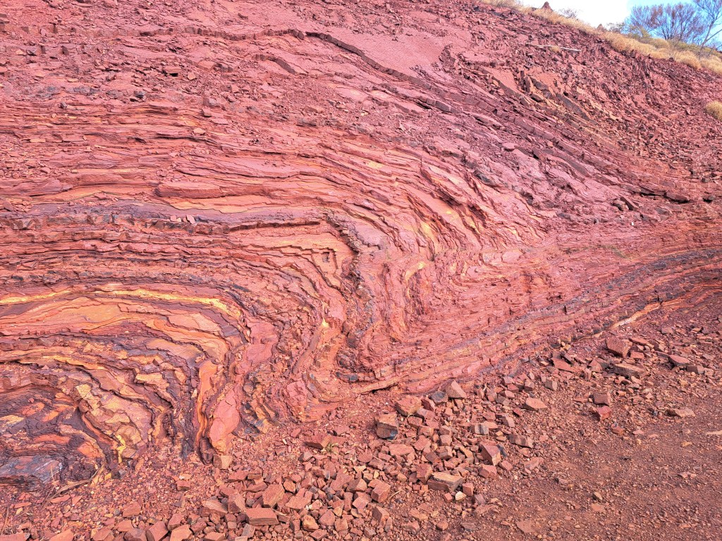
We left early the next morning for Tom Price (a town) to pick up a permit to drive a mine road from there to Karatha in the north. We stopped for a good part of the day at Hammersly Gorge.The banded iron formation is folded here, making for more interesting terrain.
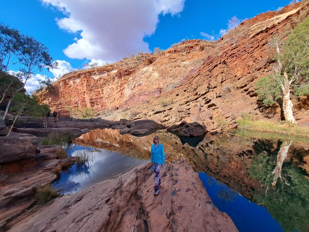
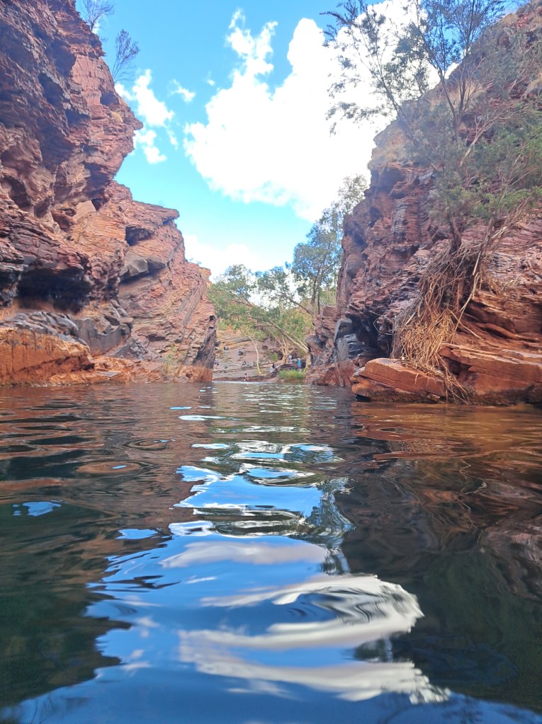
A short hike brought us into the gorge where I had a long swim in nice cold water.
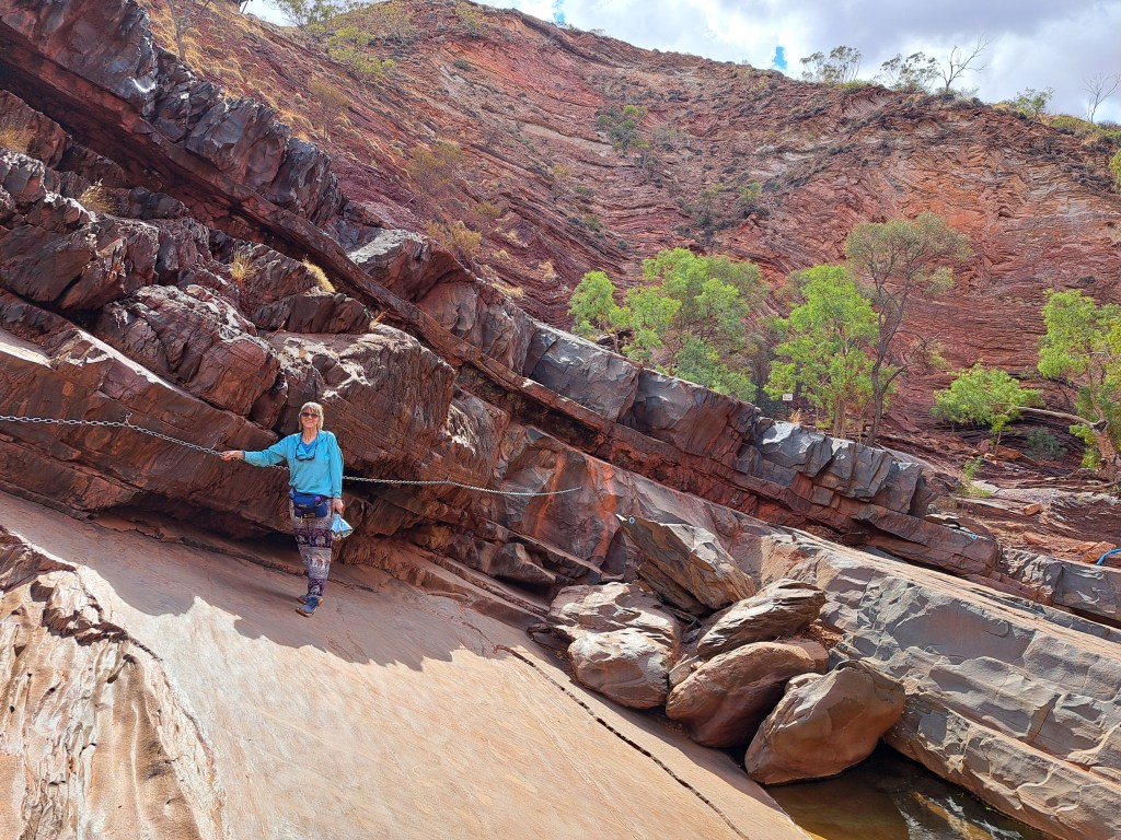
There was a nice small waterfall upstream a bit, which required a little scramble or two.
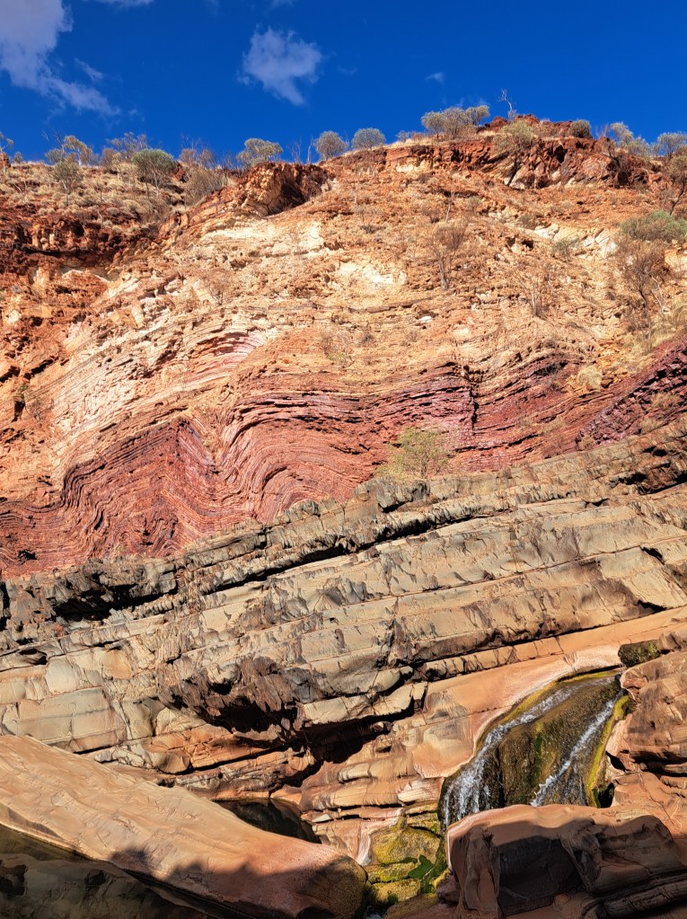
From.here it was a long drive to Karatha…
Murujuga National Park
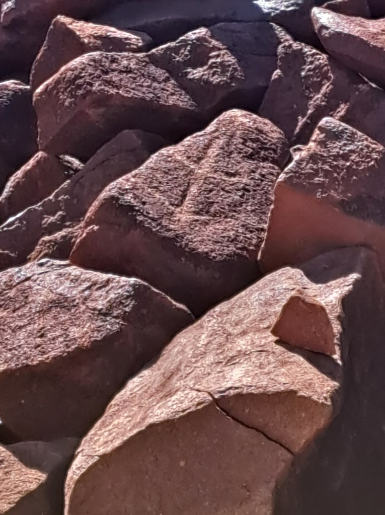
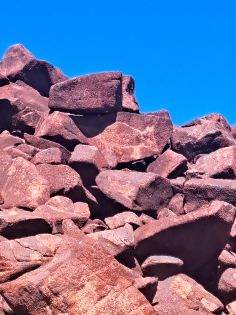
Our reason for going to Karatha was this park, which we only recently learned of. It hosts the largest concentration or aboriginal rock art. Unlike many sites in Australia, these are petroglyphs.
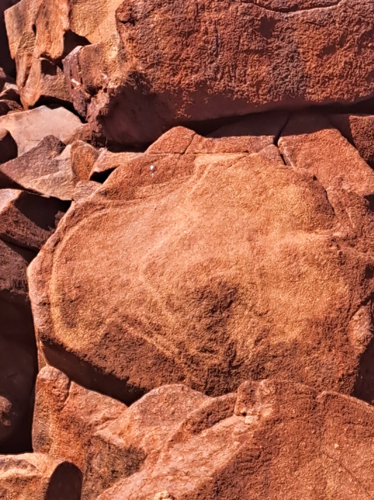
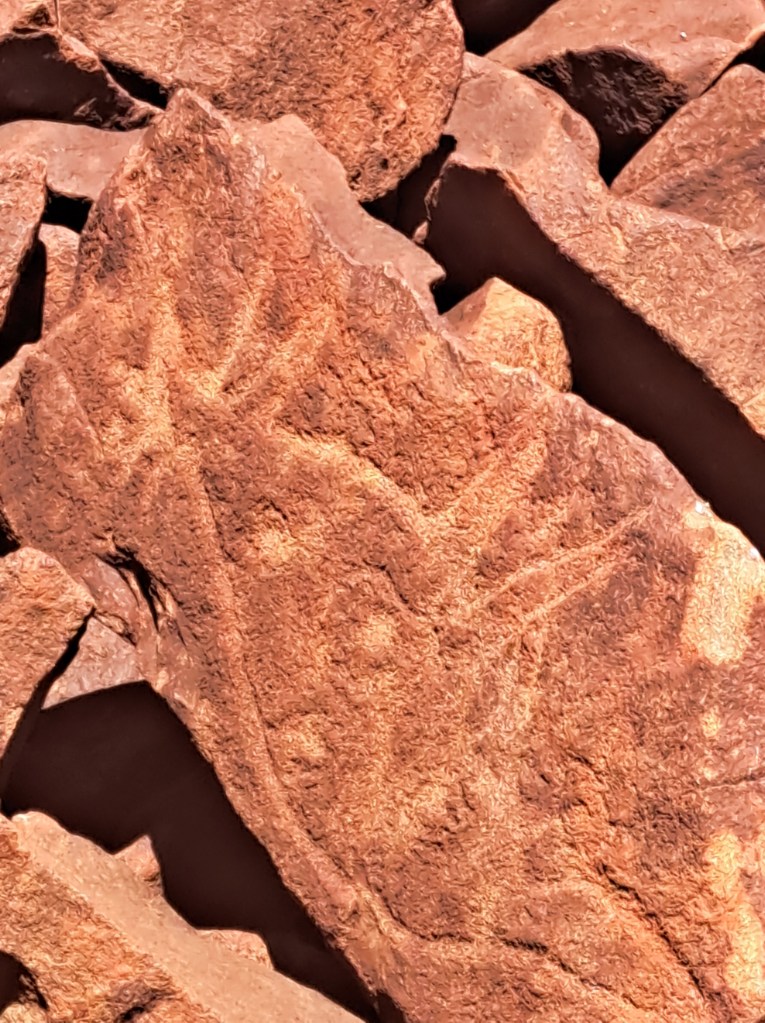
Ningaloo
The northwest coast of Australia is home to the Ningaloo reef. The largest fringing reef in the world, Ningaloo is home to an abundant variety of coral and fish species. We arrived in Exmouth, Western Australia, to recover for a few days from our long drive and to spend time exploring the underwater environment.
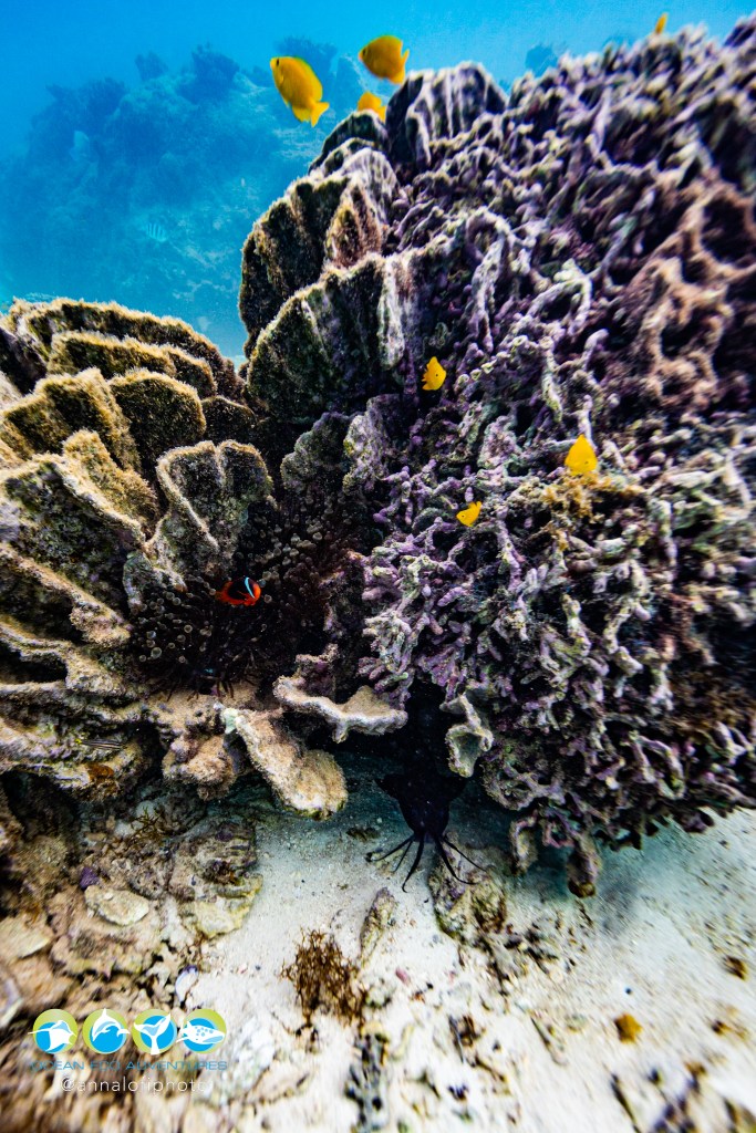
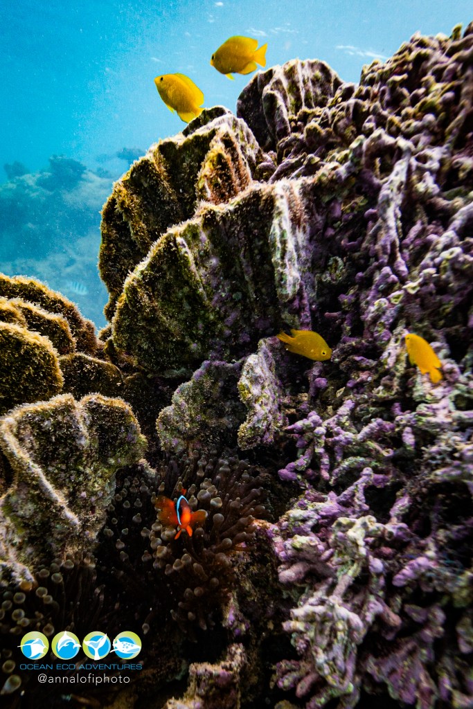
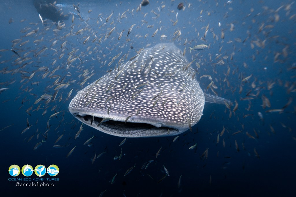
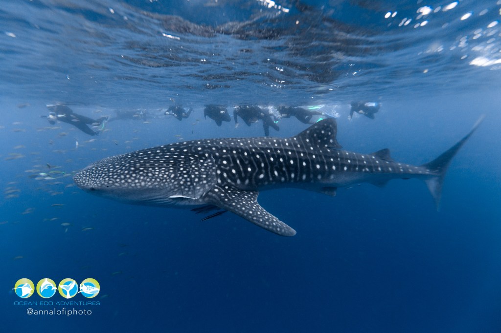
We splurged on a trip to snorkel with whale sharks, the largest fish in the ocean. The boat took us out to where we would have six short swims with the sharks as they swam by. Our Ocean Eco Adventures crew outdid themselves by providing not one, but two whale sharks! One was young, at only 12 feet. The other a full grown adult at about 25 feet! It was incredible! The following pics are from the professional photographer that was along on our trip.
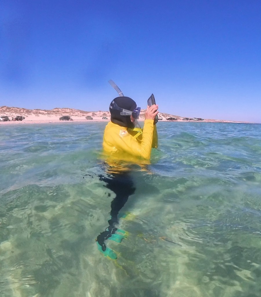
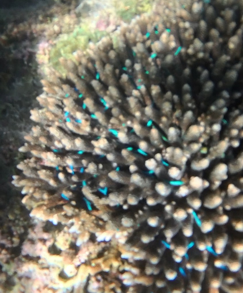
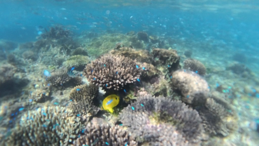
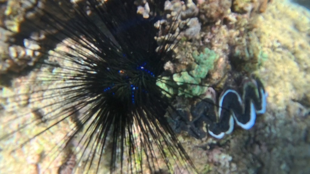
We do not have a good underwater camera, but tried our phones in water proof pouches and an Insta360 camera. We snorkeled the Ningaloo reef at Lakeside and Oyster Stacks. Our photos do not do justice to the experience in the water, but here are some to give you an idea of how wonderfully alive the water here is.
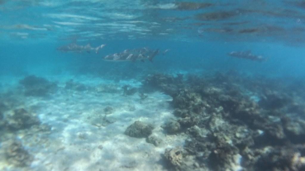
We saw four reef sharks, turtles, and dozens of species of colorful fish. The best part is the snorkeling spots were all accessible from the beach!
It was an incredible underwater experience from Exmouth south to Carnarvon, where we swam at an aptly named spot called the aquarium.
There were other sites to see above the water line. We cover those in another segment…

